For anyone who loves mountains and wilderness, Aviemore is a dream location to base yourself for a weekend. It's a busy town with a ski resort feel to it, providing a great launchpad to explore Scotland's Cairngorms National Park. So we've picked out 5 of the best walks from Aviemore below.
It's important to note that depending on what time of year you're reading this article, your experience of walking in the Cairngorms could be very different. Especially if you're taking on one of the mountain routes described below. In late summer you could experience warm temperatures and dry rock, while for most other months of the year the high peaks of the Cairngorms can be ferocious.
Always check the mountain weather forecasts before heading out, because what could be the best walks from Aviemore in the summer could easily become mountaineering epics in winter. In which case you'll need ice axes, crampons, and the skills to use them.
Why is Aviemore so popular with walkers?
For centuries, Aviemore (or An Aghaid Mhòr, ‘the great mountain face’) was no more than a hamlet, until the arrival of the railway line in 1898. But its biggest expansion happened in the 1960s with the opening of the Cairn Gorm chairlift and an ambitious bid to create Britain’s biggest ski resort.
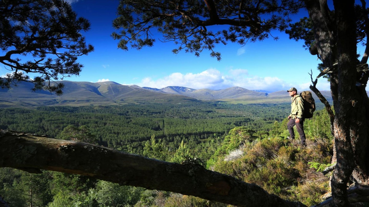
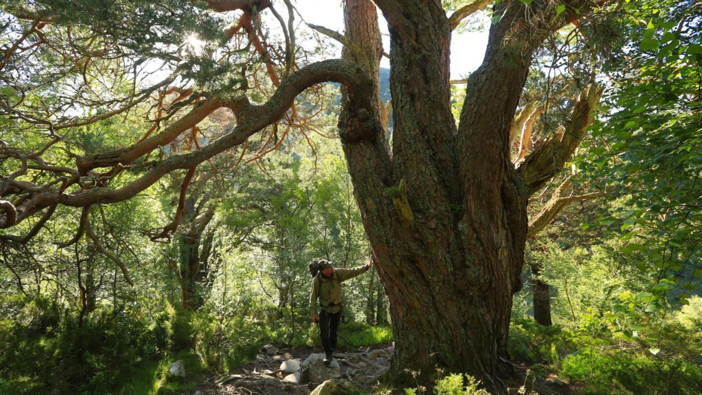
It never quite blossomed into Chamonix (although it is a viable ski-ing venue in deep winter) but it remains the very best base camp for walkers heading into the ancient pinewoods of Rothiemurchus Forest and the hulking mass of the Cairngorm Plateau that rises above it.
The Cairngorm plateau is Britain’s only Arctic habitat, and contains six of the UK’s seven highest mountains: Ben Macdui, Braeriach, Cairn Toul, Carn na Chriche, Sgòr an Lochan Uaine and Cairn Gorm. (Only Ben Nevis, way over in Lochaber, pips them – and up until 1810 it was believed Ben Macdui was higher.)
The peak of Cairn Gorm remains the portal into the plateau for most walkers, thanks to the car park at Cairn Gorm Mountain Resort. Walking trails depart from here into this immense upland – but unless you're an experienced winter walker save them for the summer, because the Cairngorms are properly Arctic in winter.
In 2003, the Cairngorms became a National Park – and at 4,500 square kilometres, it’s the largest in Britain. It may or may not also be home to the Big Grey Man (Am Fear Liath Mòr): a mythical creature thought to haunt Ben Macdui, his footsteps crunching slowly behind those of walkers caught out in the mist.
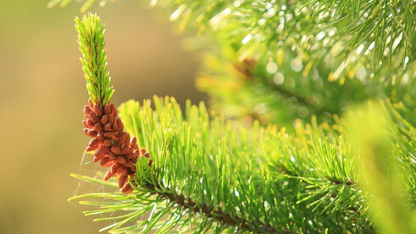
The Cairngorms are also a wonderful wildlife haven, home to 25% of Britain’s threatened species. Birds such as ptarmigan and ospreys thrive in the area, along with Arctic hares, snow buntings and golden eagles. In the deep pinewoods of Rothiemurchus Forest you’ll find red squirrels, capercaillie, and even wildcats. Plus red deer; catch them bellowing and battling in the autumn when the rut is in full swing.
And if you’re looking for a gentler walk than the ones described below, try Loch an Eilein (see Route 1 below), just a short drive from Aviemore town centre and possibly the sweetest little loch in all of Scotland. Aviemore itself is the perfect place to retreat to after you’ve explored this unique landscape; its pubs, cafés, and exhibitions welcoming you warmly back to civilisation after a walk on the wild side.
Are you sold? Good, then read on for guides to 5 of the best walks from Aviemore.
Suggested walking kit: Walking boots | Hiking daypack | Waterproof jacket | Walking trousers | Walking poles | Walking mid-layers | Base layers | Ice axes (essential in winter) | Crampons (essential in winter)
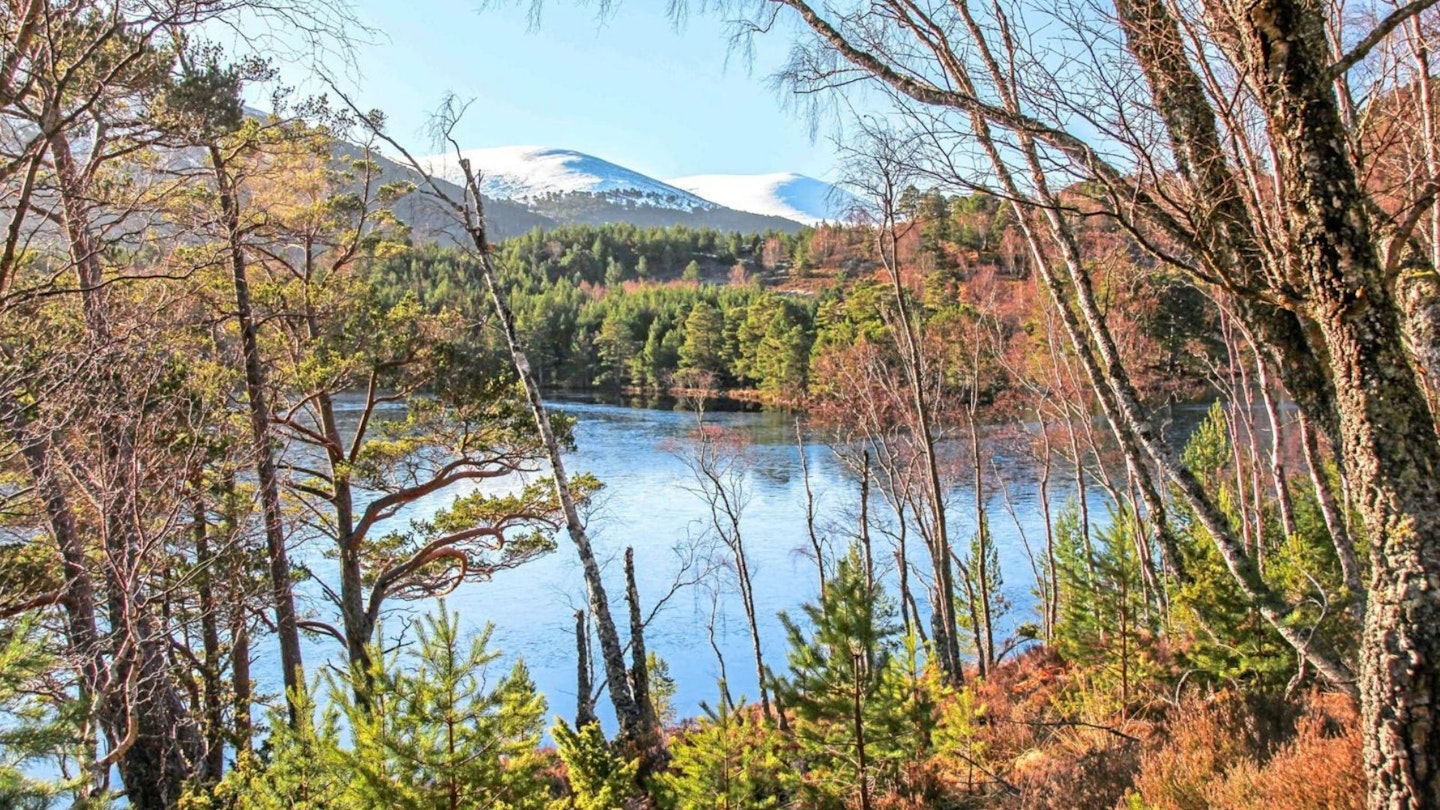
Route 1: Loch an Eilein – short scenic loop
Download our mapped Loch an Eilein route from OS Maps: HERE
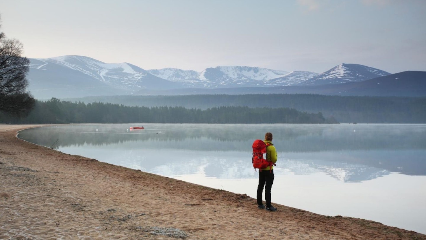
Meaning ‘Loch of the Island’, Loch an Eilein is a beautiful body of water, surrounded by ancient Caledonian forest, and part of the Rothiemurchus Estate. The island referred to in the name hosts a ruined castle which was originally built in the 13th century and fortified in the 14th century by Alexander Stewart, the so-called ‘Wolf of Badenoch’.
The island was originally connected to the shore by a causeway, but this was lost, and the island was made smaller, when the loch’s level was artificially raised so logs could be floated down the River Spey in the 18th century. Today, the loch is a popular place and was voted Britain’s Favourite Picnic Spot in a 2010 poll.
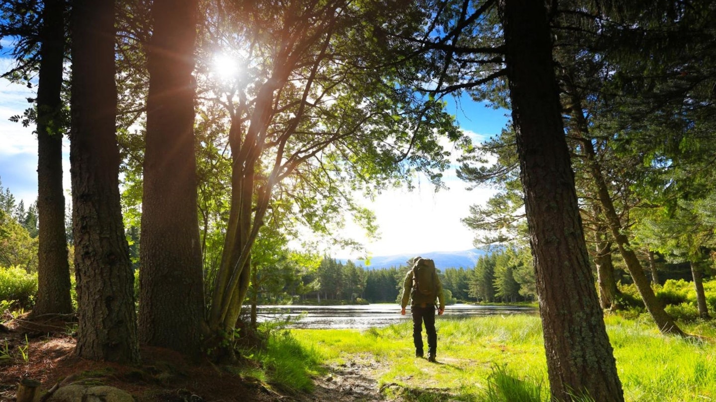
The circuit of Loch an Eilein alone would be a very easy route of 3½ miles, but it’s well worth also including the path around neighbouring Loch Gamhna. Although still mainly level, this is rougher with a couple of boggier sections but it is appreciably quieter and consequently better for wildlife spotting.
Things you might see here include red squirrels and unique species of birds such as crossbills and crested tits, while ospreys can sometimes be seen scouting for fish from high above the loch.
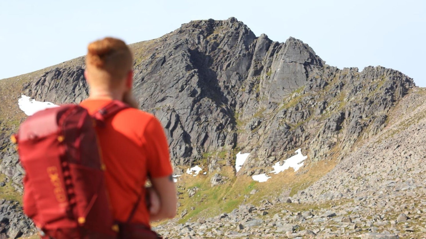
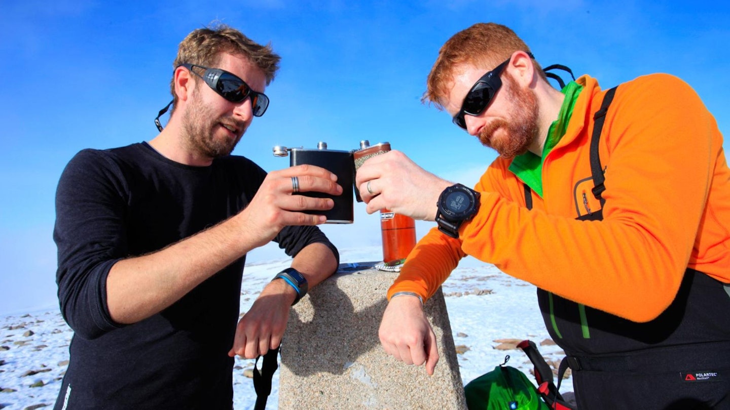
Route 2: Fiacaill Ridge & Cairn Gorm – edgy scramble
Download our mapped Cairn Gorm route from OS Maps: HERE
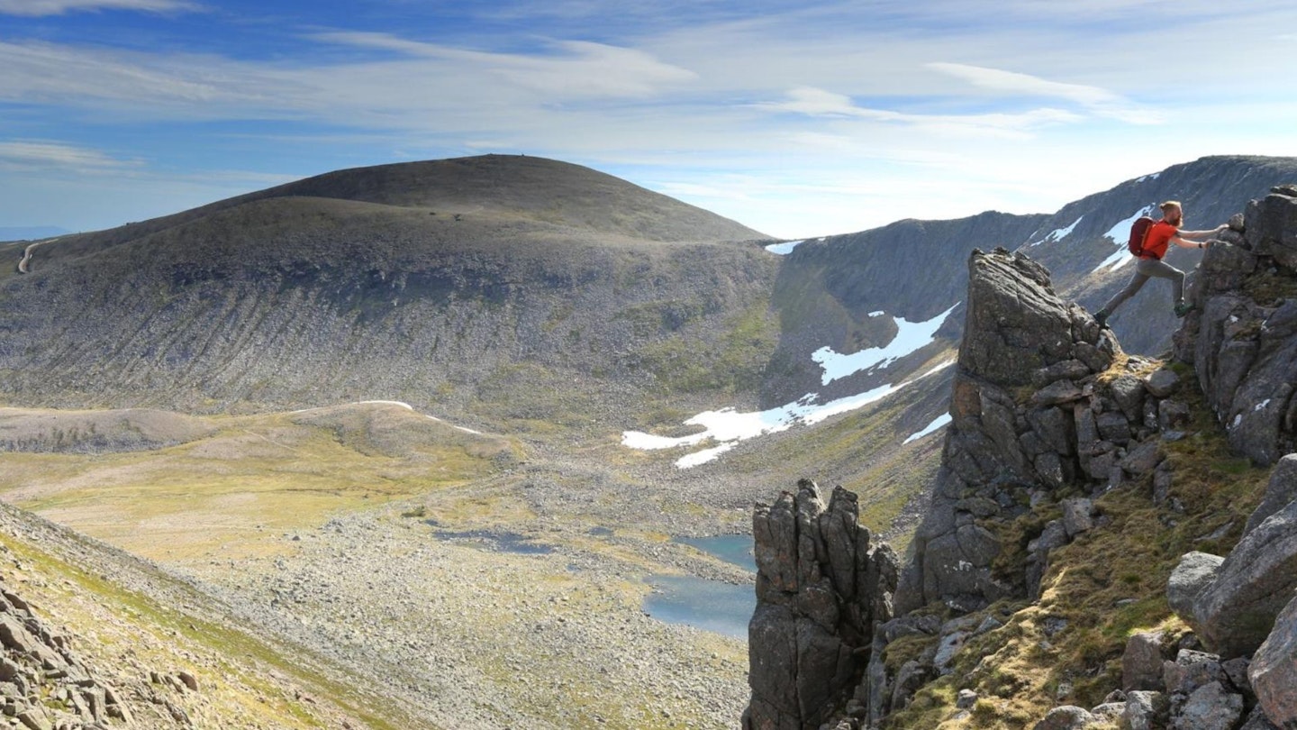
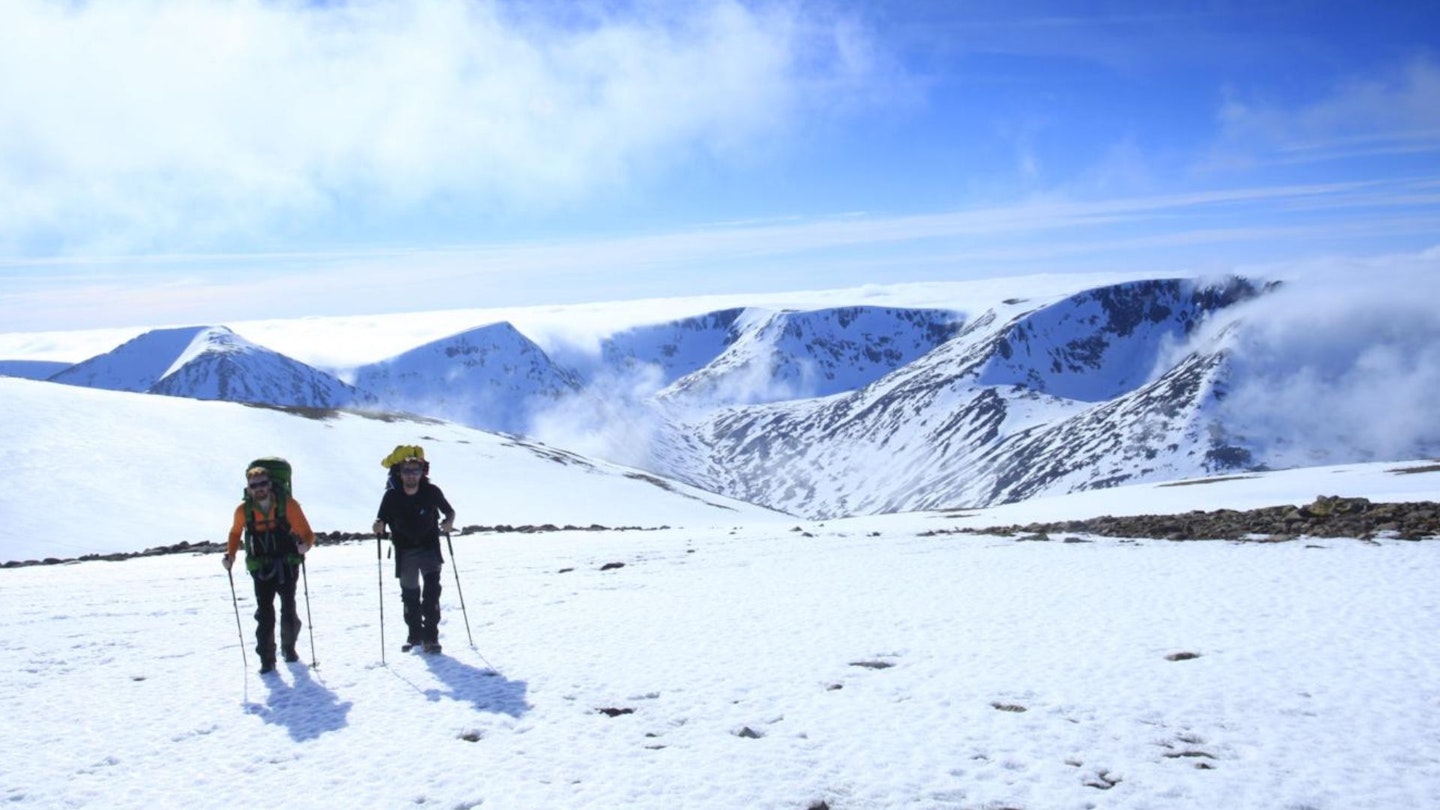
The Cairngorm plateau can be both majestic and brutal. Scotland’s own slice of arctic tundra is at its finest during winter (and often deep into spring and early summer) when thick drifts fill the burns, and sharp, curving cornices creep over the coire rims. But that's not to say it isn't spectacular and dramatic when the snow retreats, as our pictures show here. This route offers a short introduction to the plateau, but despite the duration it’s no pushover.
The warm-up from the Coire Cas car park to the base of the Fiacaill Ridge shouldn’t present too many difficulties, but as the ridge narrows, it changes in both character and seriousness. The route can hide sections of mixed ground, making this a challenging amalgam of ice and rocky scrambling.
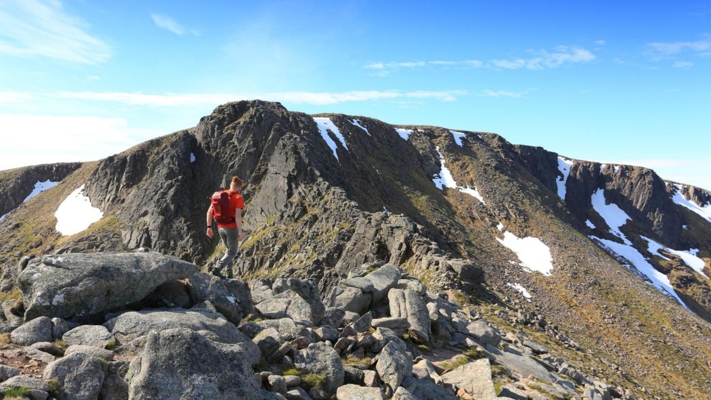
The narrow ridge offers a short-lived but excitingly exposed classic Grade 1-2 summer scramble or winter climb to the northern edge of the plateau, where a longer day might draw us onwards to Ben Macdui and beyond. Our short route, however, meanders along the steep edge of Coire an t-Sneachda to Cairn Gorm, before traversing the broad spur bounding Coire Cas, from where the finest views of the Northern Corries can be found.
Route 3: Ben Macdui and Lurcher's Crag
Download our mapped Cairn Gorm route from OS Maps: HERE
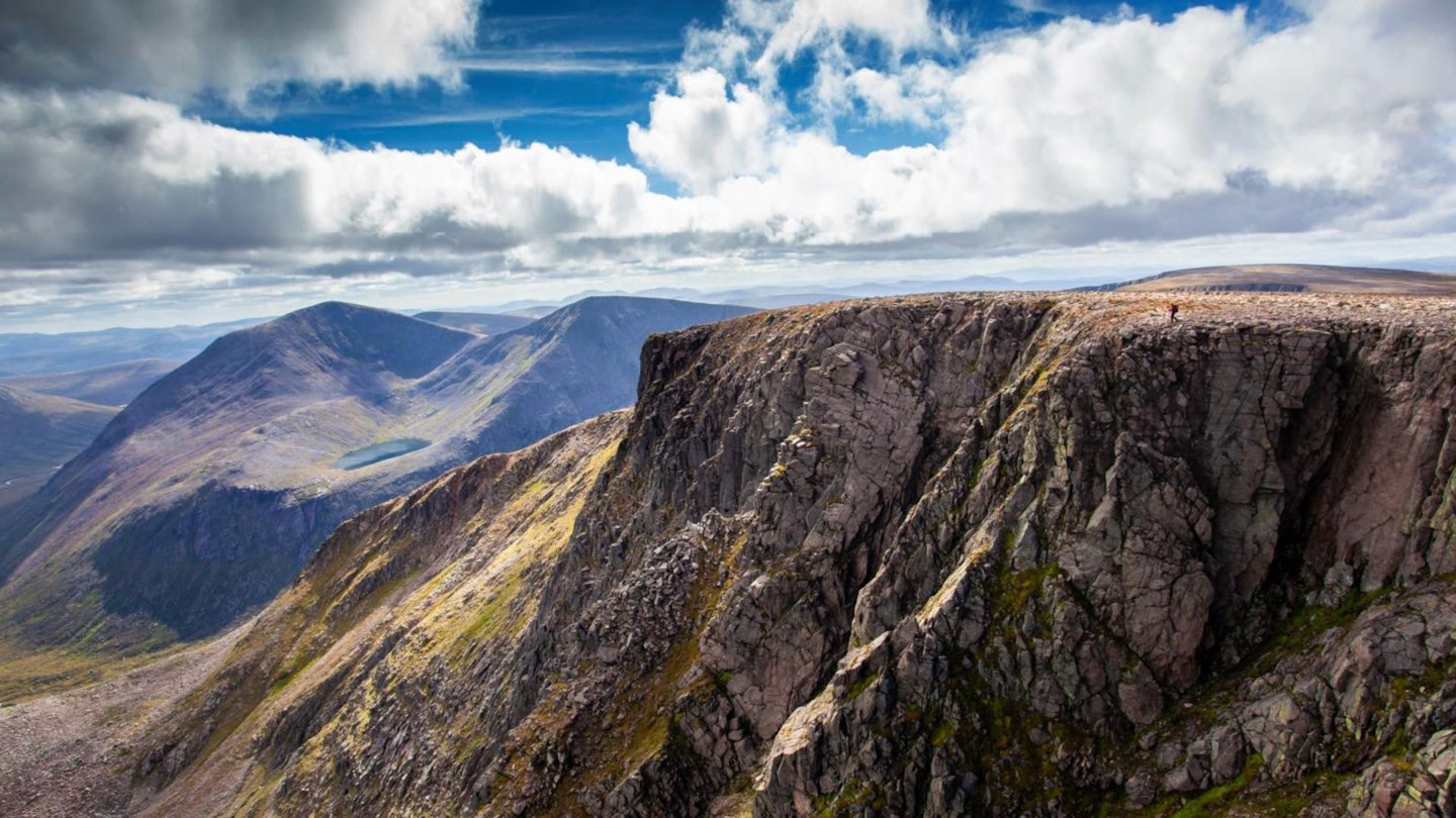
The Central Cairngorms is one part of the largest continuous area above 1000m in Britain, and includes Ben Macdui, which at 1309m above sea-level is the second highest peak in Britain.
Its vast summit plateau is littered with huge boulders and several magnificent views which, combined with an excellent path almost to the top, means Ben Macdui is a very busy mountain. Which is fine, but it is sometimes nice to remove yourself from the Cairngorm hustle and bustle and find a quieter place. This is where Lurcher's Crag (Creag an Leth-choin) hits the spot.
Although not classed as a Munro, it still rises to 1053m and consequently offers a magnificent point to survey much of the National Park and beyond. Creag an Leth-choin also has some spectacular vertiginous cliffs that plunge 450m from the summit to meet the Lairig Ghru. These cliffs are popular with climbers, particularly during winter when snow and ice grip the rock and provide some testing routes.
Many of the named climbs, such as Blood Hound, Irish Wolfhound and Deerhound Ridge, provide a link to Creag an Leth-choin’s anglicised moniker of Lurcher’s Crag, which apparently relates to several hunting dogs that fell to their deaths from its summit having chased a stag from Glen More.
Route 4: The Lairig Ghru, Cairn Toul & Braeriach
Download our mapped route from OS Maps: DAY 1 & DAY 2
Britain’s largest National Park, the Cairngorms, is also its wildest and loftiest. Boasting the second, third, fourth, fifth and sixth highest mountains in Scotland – all 4000ft-ers – the central massif comprises the most extensive area of high upland in the British Isles, a sub-arctic landscape of gravel plateaux, remote summits and spectacular corries.
This inspiring area is perfect for long peak-bagging missions, such as this one taking in the legendary mountain pass of the pass of the Lairig Ghru, plus the muscular summits of the Devil's Point, Cairn Toul, and the mighty Braeriach.
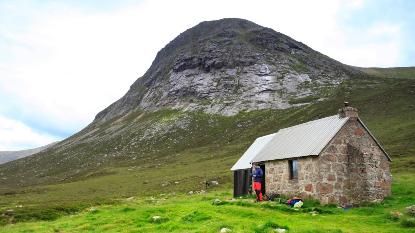
Super-fit walkers could nail it in a tough one-day challenge, but it also makes the ideal basis for a wild weekender on the roof of Scotland. Link together the two routes above for a cracking 2-day circuit, which includes a night deep in the Lairig Ghru at the iconic Corrour Bothy (one of the few Scottish bothies with an actual toilet!).
Needless to say, this is a walk best undertaken in mid-to-late summer, once the majority of the snow cover has retreated from the Cairngorm plateau. If you're carrying overnight kit, ideally you don't want to add an ice axe and crampons to that already considerable bulk.
Route 5: The Kincardineshire Three – quiet Corbetts
Download our mapped route from OS Maps: CLICK HERE
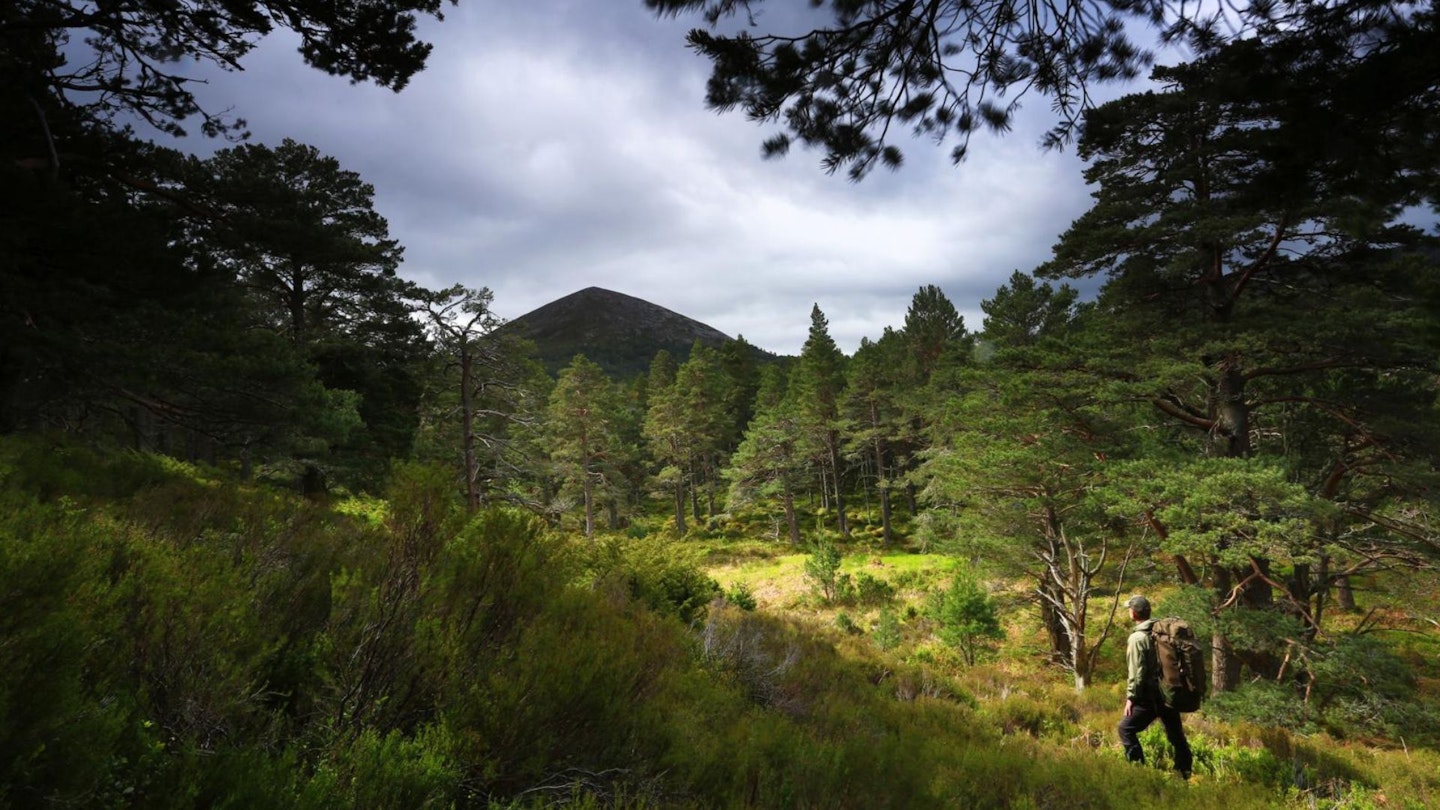
Although dwarfed by the neighbouring Cairngorm massif, Meall a’ Bhuachaille, Creagan Gorm and Craiggowrie make for a top day walk. Meall a’ Bhuachaille rises to 810m in height, and is one of Scotland’s 222 Corbetts.
The route heads through gorgeous Glenmore Forest Park (keep an eye out for red squirrels and Scottish crossbill) onto Meall a’ Bhuachaille. Creagan Gorm and Craiggowrie are then crossed before a path drops into the wooded confines of Glenmore and a straightforward return.
Throughout there are fantastic and far-reaching views across the Cairngorms National Park and beyond. Like many Scottish mountain names, the Gaelic translations of Meall a’ Bhuachaille and Craiggowrie gives a clue to their recent history and the interaction between humans, animals and mountains.
Craiggowrie translates as the Crag of the Goat, relating to wild goats that would have once wandered these hills, while Meall a’ Bhuachaille means Hill of the Herdsman. This refers to the shepherds of numerous small farms that were once scattered around the hill and who would drive their animals up onto the fertile slopes during the summer months to feed. Creagan Gorm is much more simplistic, translating as The Blue Crag.
That completes our round-up of the best walks from Aviemore. Keep reading for some more key details about planning your trip to this adventurous Scottish town.
How to get to Aviemore
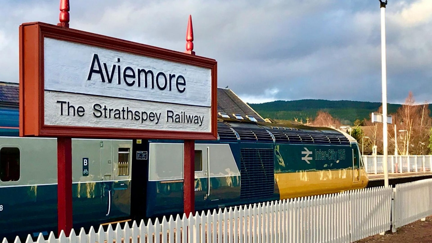
Aviemore is very easy to reach via road by Scottish Highlands standards with the busy A9 running right past it; plus the town has its own railway station, which can be reached on the legendary Caledonian Sleepertrain.
The A9 road connects central Scotland with the Cairngorms National Park, with easy access from Glasgow, Edinburgh, Perth and Dundee. It takes around 1 hour 45 minutes to reach Aviemore from either Glasgow or Edinburgh to the south, with Inverness roughly a 40-minute drive north.
As mentioned above the overnight Sleeper train makes the Cairngorms very accessible, even from London. While Aviemore is also very well connected by rail within Scotland via the Scot Rail train lines that run from Perth to Aberdeen and to Inverness through Aviemore.
The closest airports are Inverness, Aberdeen, Glasgow, Edinburgh and Dundee.
Where to eat, drink and stay in Aviemore
There are so many places to recommend in Aviemore for food, drink and accommodation that we almost don't know where to start. So check out the town's official website for some solid suggestions: where to eat in Aviemore.
It's the gateway to the Cairngorms National Park and one of Scotland's most popular towns for hikers and mountaineers – so here's a collection of the best walks from Aviemore