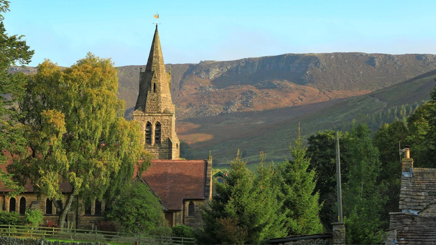
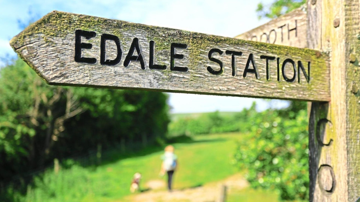
Edale marks the start of the legendary Pennine Way long-distance trail and is surrounded by the highest land in the Peak District. Read on for a guide to exploring the hills around this picturesque village as we pick out our 4 favourite walks from Edale.
In 1725, English travel writer Daniel Defoe described the Derbyshire High Peak as ‘the most desolate, wild and abandoned country in all England’. But Defoe was merely a product of his time. Back in the early 18th century, people generally preferred the manicured beauty of formal gardens to raw and untamed natural landscapes.
Gradually those attitudes changed, as artists and poets learned to appreciate the awe-inspiring qualities of our hills and mountains. And by the early 1930s, the Peak District was a popular stomping ground. A new hiking craze among the working classes meant that mill and factory workers started to spill out of Manchester and Sheffield, keen to spend their days off rambling on the moors.
This notion wasn’t all that popular with the estate owners of the time though, resulting in a number of clashes including the infamous Kinder Scout Mass Trespass of 1932. However, it ultimately paved the way for greater public access to the countryside, as well as the creation of national parks and national trails.
This included the Peak District National Park in 1951 and the venerable granddaddy of all the UK’s national trails, the Pennine Way, opened in 1965, which starts from Edale itself.
Today Edale remains a popular destination for hillwalkers. The village has two legendary walkers’ pubs, welcoming cafés, a chippy and a well-stocked shop. For visitors looking for info on walking in the Peak District, Edale also boasts the Moorlands Visitor Centre – which provides a wealth of information on conservation efforts dedicated to protecting and restoring this important habitat, as well as plenty of walking inspiration.
Edale really does offer something for everyone, from first-time hikers searching for a taste of the great outdoors, to seasoned hillwalkers keen to explore the challenging moorland of the Kinder plateau.
Suggested walking kit: Walking boots | Hiking daypack | Waterproof jacket | Walking trousers | Walking poles | Walking mid-layers | Base layers
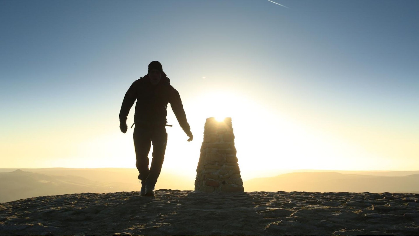
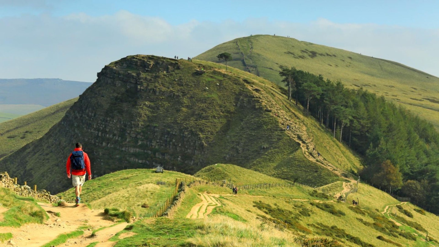
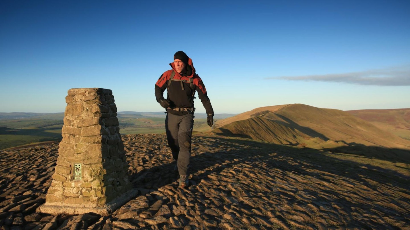
Route 1: Rushup Edge, Mam Tor & the Great Ridge
View and download our mapped Mam Tor route from OS Maps: HERE
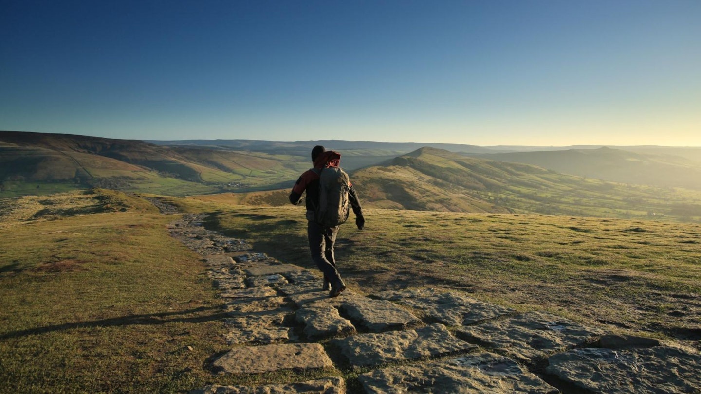
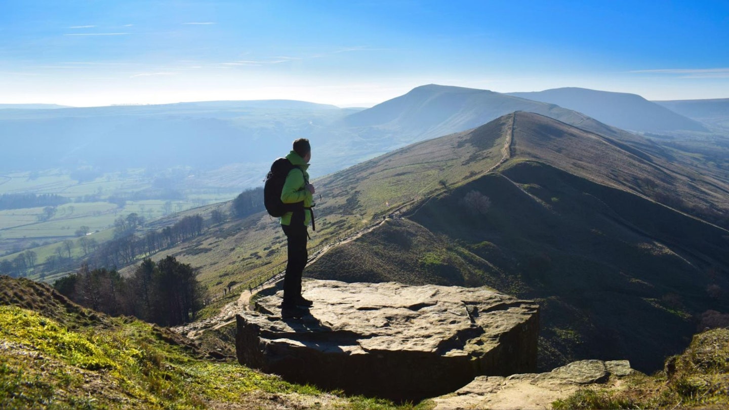
This classic circuit is one of the most popular walks from Edale, and for panoramic vistas from some of the most iconic viewpoints in the whole of the Peak District, it simply can’t be beaten.
The route initially follows the Pennine Way out of Edale. Pass through the hamlet of Upper Booth, and from here climb across the head of the valley, crossing Whitemoor Clough to reach Rushup Edge. Follow the ridge over Lord’s Seat to reach the trig pillar at the summit of Mam Tor, the highest point of the day at 517m.
Mam Tor is on the southern edge of the Dark Peak and overlooks the White Peak, including the notable dry gorge of Winnats Pass. It links the eastern end of Rushup Edge and the western end of the Great Ridge, which together separate the Hope Valley to the south from the Vale of Edale to the north.
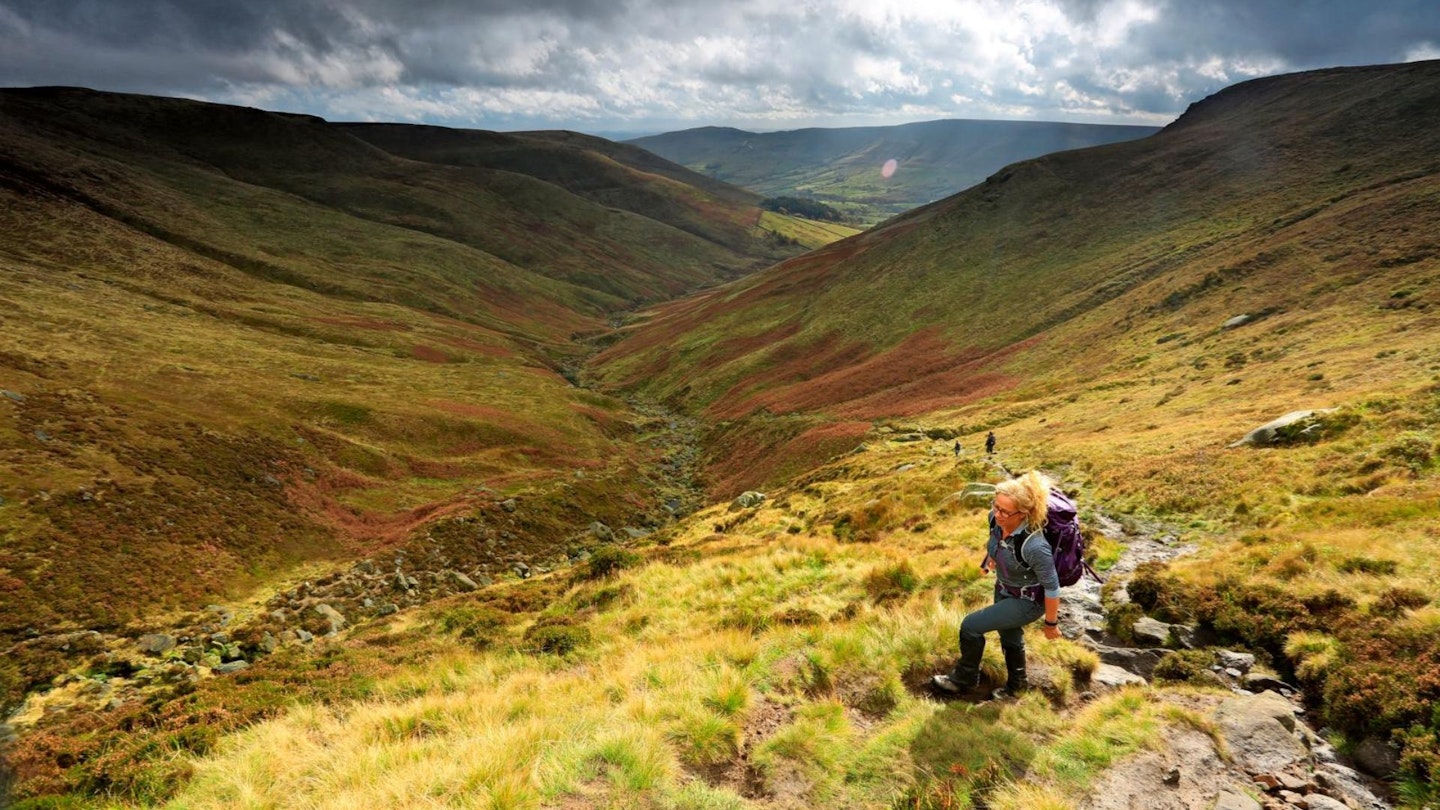
From Mam Tor walk the aptly named Great Ridge to Hollins Cross, returning downhill along paths and country lanes back to Edale. With a total length of just over 8 miles, the distance is manageable in half a day, but this loop shouldn’t be underestimated, as there are one or two lung-busting ascents and some rocky terrain to negotiate, plus an assortment of stiles to haul yourself over and stone gaps to squeeze through.
Route 2: Lose Hill
View and download our mapped Lose Hill route from OS Maps: HERE
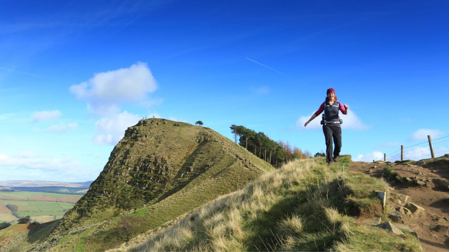
Like a full stop placed at the end of a long sentence, Lose Hill punctuates the end of the Great Ridge that runs east from Rushup Edge over Lord’s Seat, Mam Tor, Hollins Cross and Back Tor. At 476m, it’s a relatively modest summit, but the hill’s prominence makes this viewpoint feel a lofty perch indeed, offering spectacular views looking west back along the Vale of Edale, north to the moors of the High Peak and east to imposing Stanage Edge.
Lose Hill is also known as Ward’s Piece, named after a famous early 20th century activist for walkers’ rights, GHB Ward, an ardent tramper of the High Peak. In photos, Ward was normally pictured in stout boots and a flat cap, sporting a rather magnificent moustache.
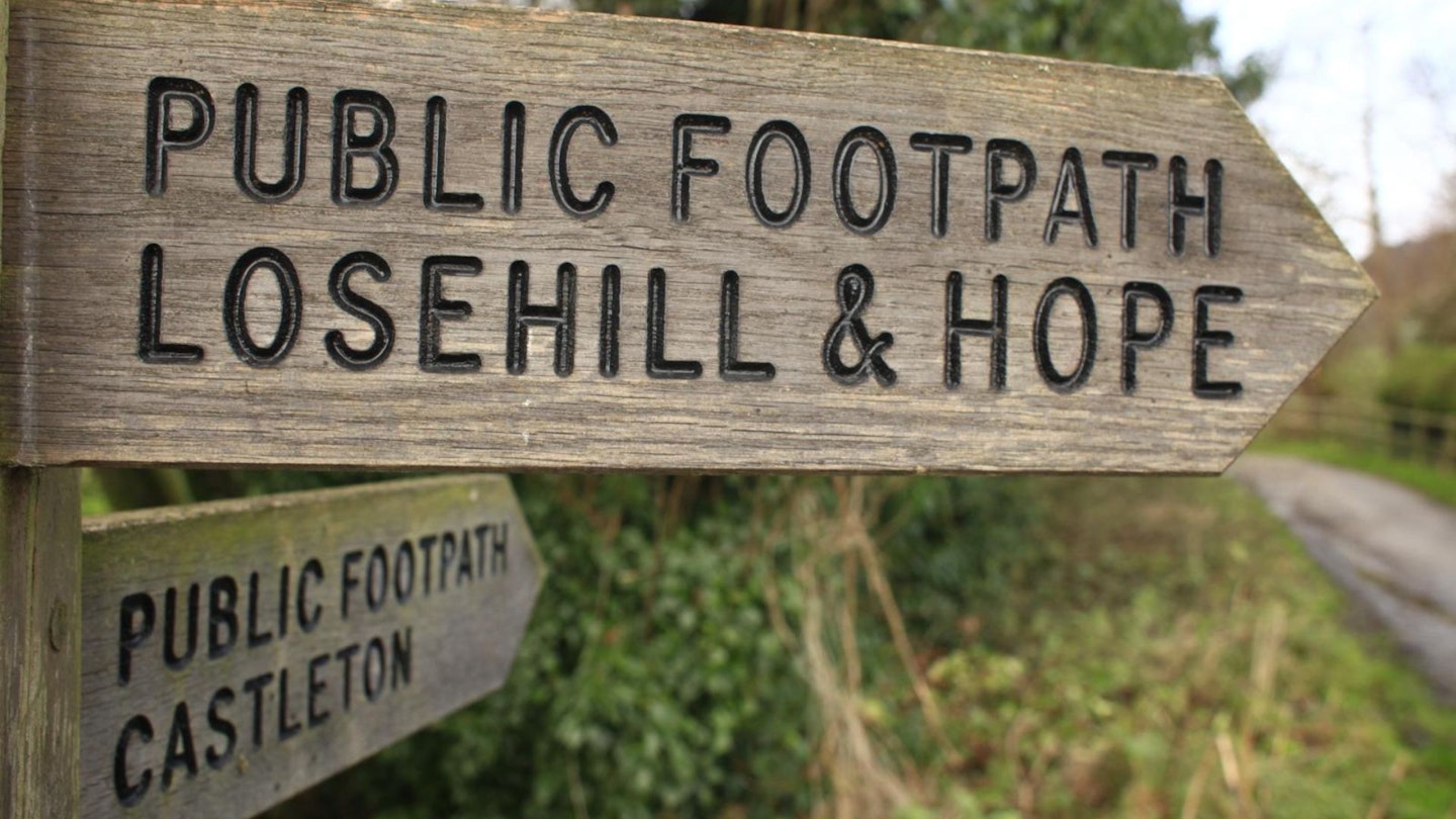
To reach Lose Hill and follow in his footsteps, take the footpath south-east out of Edale, crossing the River Noe and heading uphill to Hollins Cross. Once you’ve climbed up to the Great Ridge, turn left to pick up the undulating, well-trodden path that leads to Lose Hill’s panoramic summit.
From here, many walkers descend to the village of Hope. However, you can swing left downhill to Townhead before turning sharply to the north, crossing the railway line at Bagshaw Bridge, and then following paths and lanes along the valley floor to Nether Booth, Ollerbrook Booth and finally back to Edale.
Route 3: Kinder Scout
View and download our mapped Kinder Scout loop from OS Maps: HERE
For those adventurous hillwalking types who come to Edale looking for the archetypal ‘big day in the Peak District’, this is it – an arduous but exhilarating 14-mile loop with some 1365m of ascent. You’ll ‘bag’ Kinder Scout, at 636m the highest point in the whole of the national park.
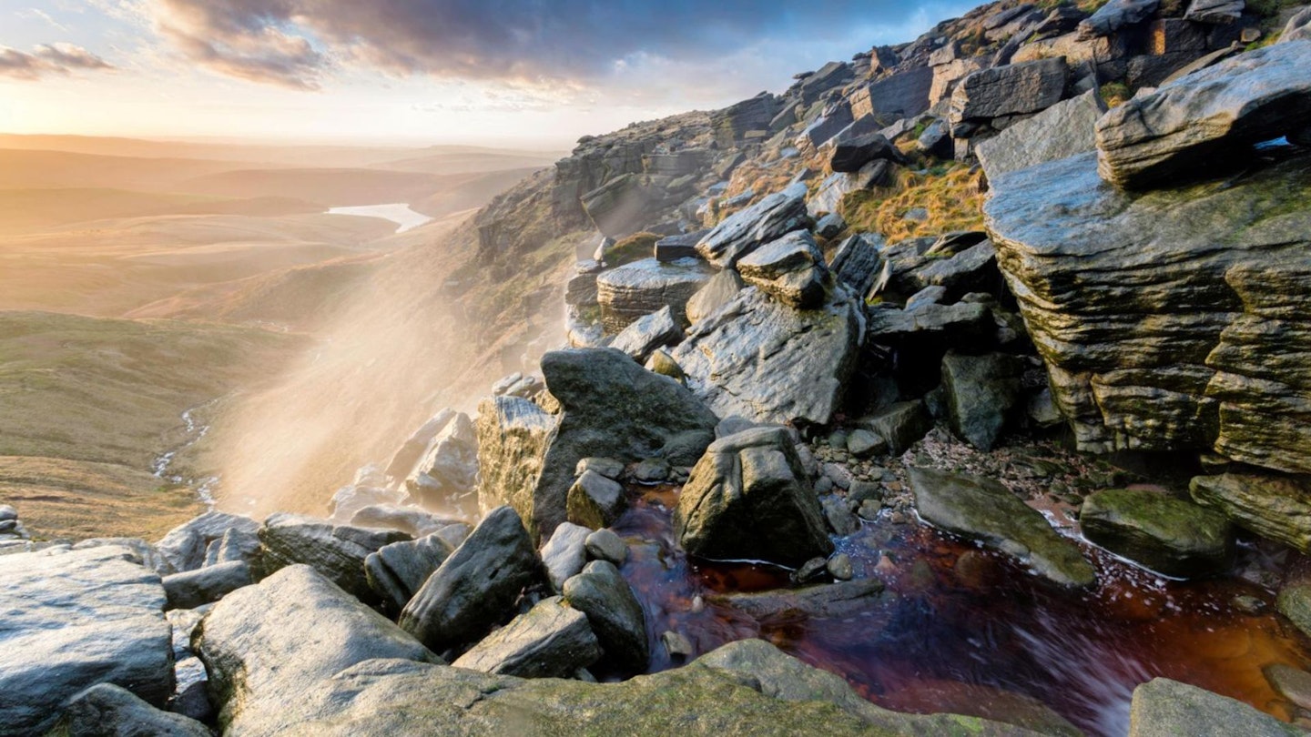
This circuit also ascends the steep flagged path that is the notorious Jacob’s Ladder, as well as Kinder Reservoir and the spray-soaked falls of Kinder Downfall. It’s a full day’s walk out of Edale that requires proper hillwalking kit, including map and compass.
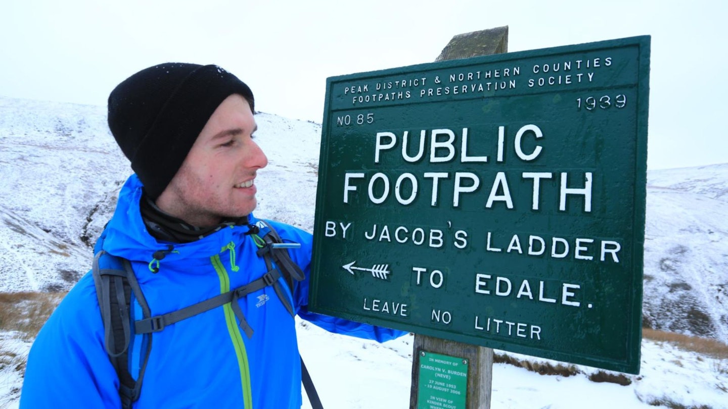
That’s because, once you’re up on the Kinder plateau, the deep peat hags and sodden channels (or groughs) can look disconcertingly similar through the blanket bog. In poor weather, it’s easy to lose your bearings. If you’re game, pick up the start of the Pennine Way from Edale to Upper Booth and walk along to the bridge at the bottom of Jacob’s Ladder. Take a deep breath and start climbing!
At the top, leave the Pennine Way to pick up field paths heading west, then swing north towards Kinder Reservoir. Skirt the western edge of the reservoir, then ascend William Clough, before turning right to follow the steep path up to Kinder Downfall. From here, follow the stream bed via Kinder Gates and look for a faint path.
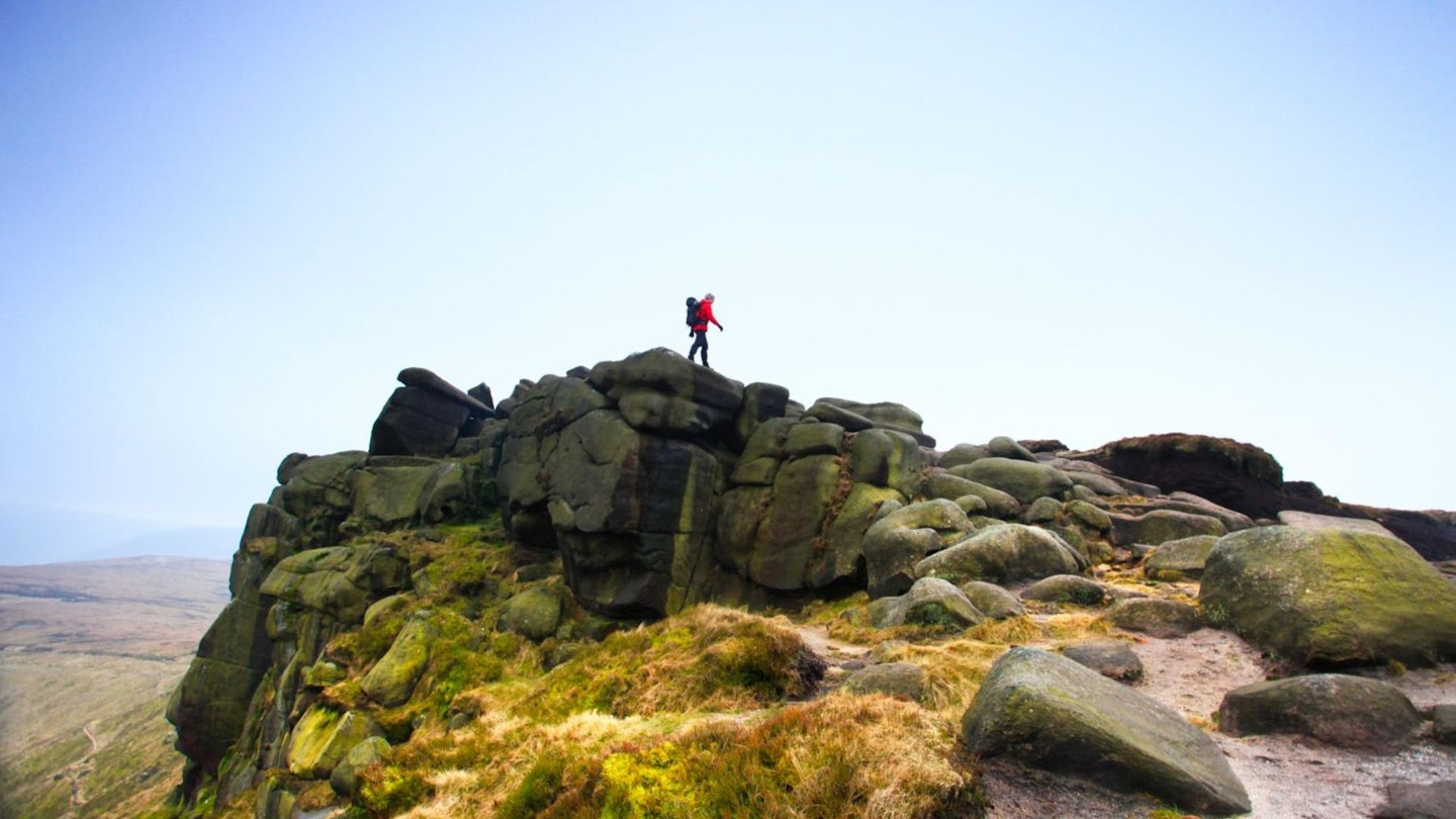
The nondescript ‘summit’ of Kinder is a little way off this path. Emerge near Crowden Tower and take the path back to the cairn at the top of Grindsbrook Clough. Descend carefully through a scrambly section to reach the path that takes you all the way back to Edale.
Route 4: Crowden Clough & Ringing Roger
View and download our mapped Crowden Clough route from OS Maps: HERE
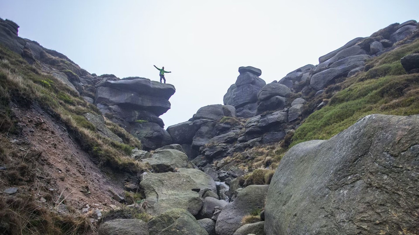
This half-day hike from Edale combines an exciting ascent of Crowden Clough, an easy but exhilarating Grade 1 scramble (CLICK HERE for our step-by-step scrambling guide), with a visit to one of the Peak District’s most Instagram-worthy landmarks – Ringing Roger, a cluster of weathered gritstone outcrops that make for stunning photos.
Start from Edale and pick up the Pennine Way through Grindsbrook Booth. Soon leave the main path for a small footpath below Broadlee Bank Tor, which climbs north-west up Crowden Clough. The best scrambling is found either in the clough or on the steep path to the left of the brook.
Once you’ve reached the Kinder plateau, follow the clear path east along the ridge that leads to the top of Grindsbrook Clough, though a short detour can also take in Grindslow Knoll, which gives fine views of the Hope Valley and the Great Ridge to the south.

Continue tracing the southern fringe of the plateau, following the ridge and fording several streams, past Upper Tor and Nether Tor to reach the head of Golden Clough. Ringing Roger is a little further on, providing plenty more opportunities to get your hands on rock by scrambling among the outcrops.
The quickest way back to Edale is to descend towards the clear path to The Nab and then zigzag back down to Edale.
How to get to Edale
Edale is very accessible. By road, take the A6187 off the M1 into Hope and turn right. The best way to reach Edale, however, is by train, with services to and from Manchester and Sheffield.
Where to eat, sleep & drink
-
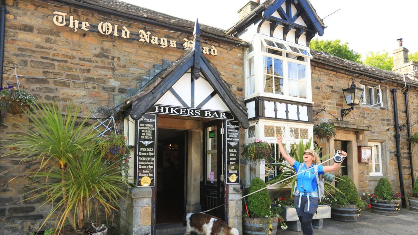
The Old Nags Head: this country inn dates back to 1577. Well-known for serving up hearty food, it has two cottages you can stay in.
-
The Rambler Inn: blazing fires in every room, a fine selection of cask ales behind the bar, and nine en-suite rooms.
-
YHA Edale Activity Centre: affordable dorm rooms or private rooms with views out over the Great Ridge and Dark Peak.
-
Upper Booth Farm Campsite: National Trust campsite located right on the Pennine Way.
-
The Penny Pot Café: cosy café where muddy boots and four-legged friends are both welcome.
-
Find more great places to stay near Edale at Expedia and Booking.com
5 facts about walking in Edale
-
The Nags Head in Edale marks the start of the 268-mile Pennine Way, Britain’s first National Trail, which stretches across England’s northern uplands to finish at Kirk Yetholm in the Scottish Borders.
-
Edale made a fleeting appearance in series 4 of gritty BBC drama Peaky Blinders. Grindsbrook is the location of one of the brothers’ homes, where the Changretta henchmen turn up at Christmas.
-
In the early 1930s, Kinder Scout was the focus for early access campaigners, who wanted the freedom to walk in open country such as the privately-owned moors.
-
The Peak District probably derives its name from the Old English word peac, meaning hill. The highest point in the National Park is Kinder Scout at 636m, which is also the highest point in Derbyshire.
-
Blanket bog covers almost 210 sq km of the Peak District. This rare habitat supports a range of plants and wildlife, including the curlew and golden plover, and the mountain hare.