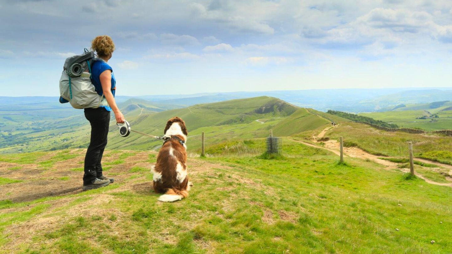
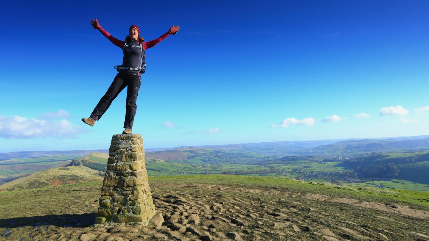
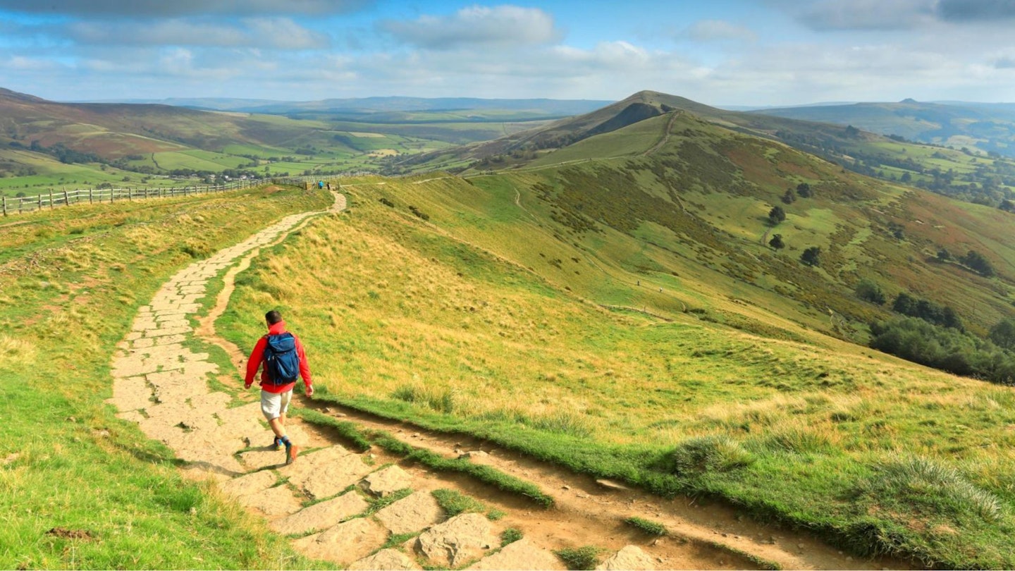
Mam Tor is perhaps one of the most easily identifiable hills in the Peak District National Park, up there with icons like Kinder Scout and Stanage Edge. Known also as the Shivering Mountain, due to its propensity to shake off sections from its sheer east face, Mam Tor is a popular spot for walkers of all ages.
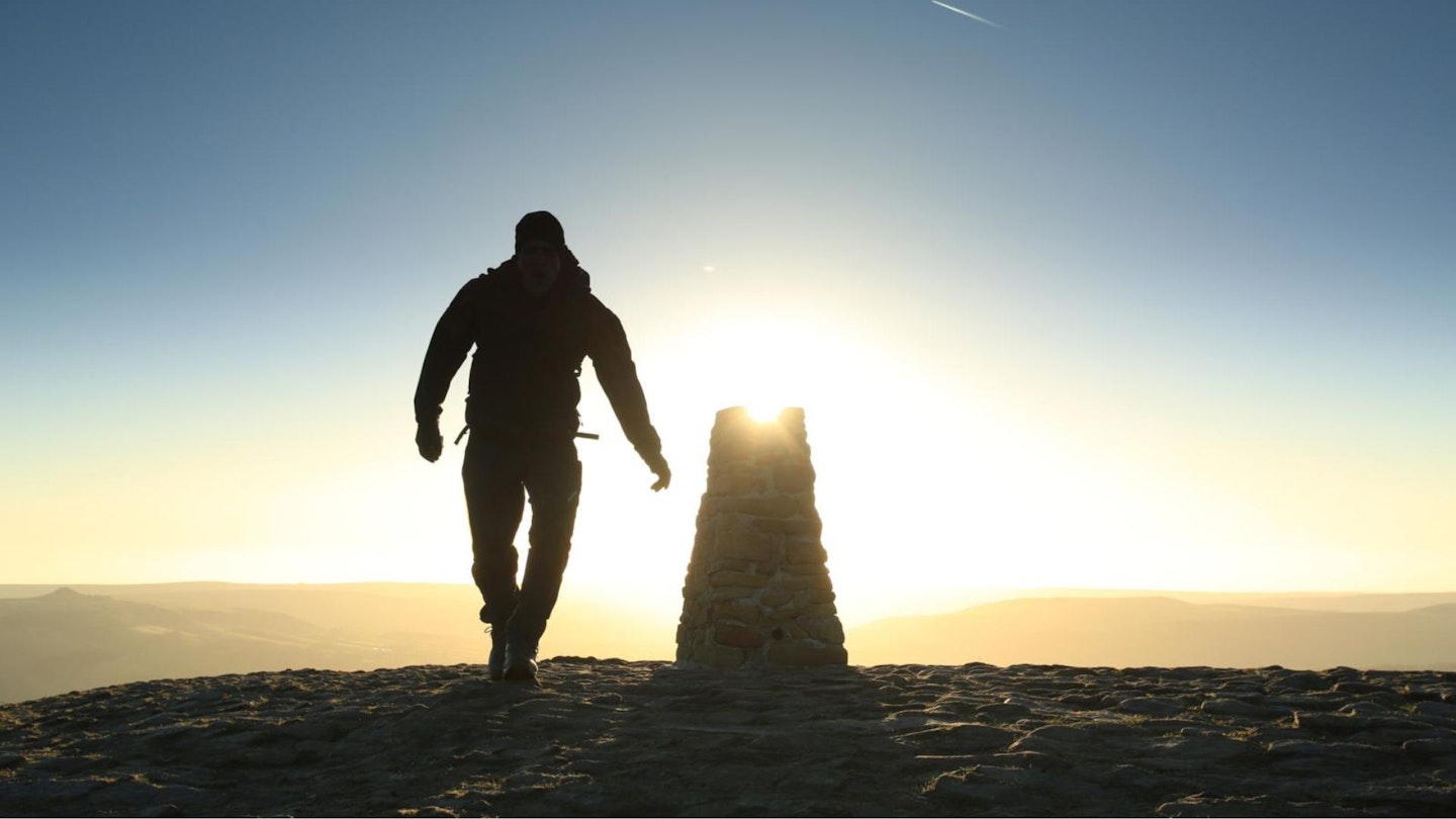
It is a wonderful viewpoint, taking in much of the Peak District in a 360° panorama, so if you want photos of sunrise or sunset this is the hill to stand on. It sits at the western end of the classic Peak District walk ‘The Great Ridge’, which stretches for almost 3.5km between the Vale of Edale and the Hope Valley.
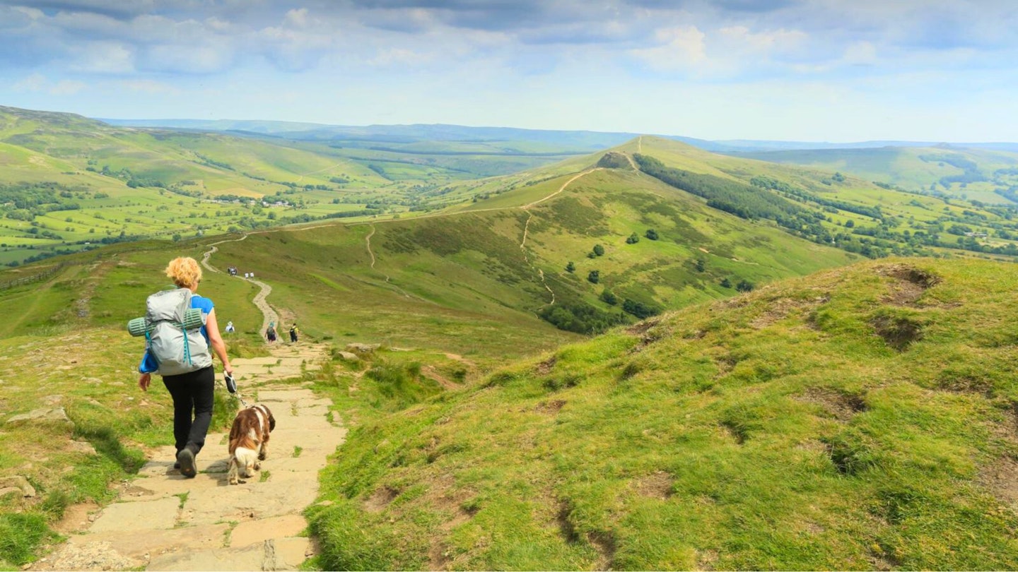
The Great Ridge separates the gritstone area of the Dark Peak from the limestone are of the White Peak. The two routes we recommend below start in Castleton and Hope, and work their way up to the north-east end of the ridge before turning south-east to Mam Tor.
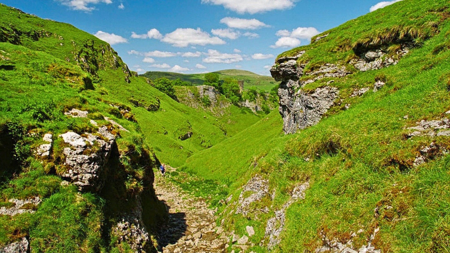
The second route then takes you around an area of old lead mining and a deep rock chasm known as Eldon Hole before descending the limestone gorge of Cave Dale, with Norman Peveril Castle keeping guard high above, and eventually returning to Castleton or continuing on to Hope.
Suggested walking kit: Walking boots | Hiking daypack | Waterproof jacket | Walking trousers | Walking poles | Walking mid-layers | Base layers
How hard is climbing Mam Tor?
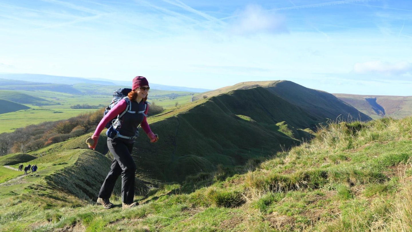
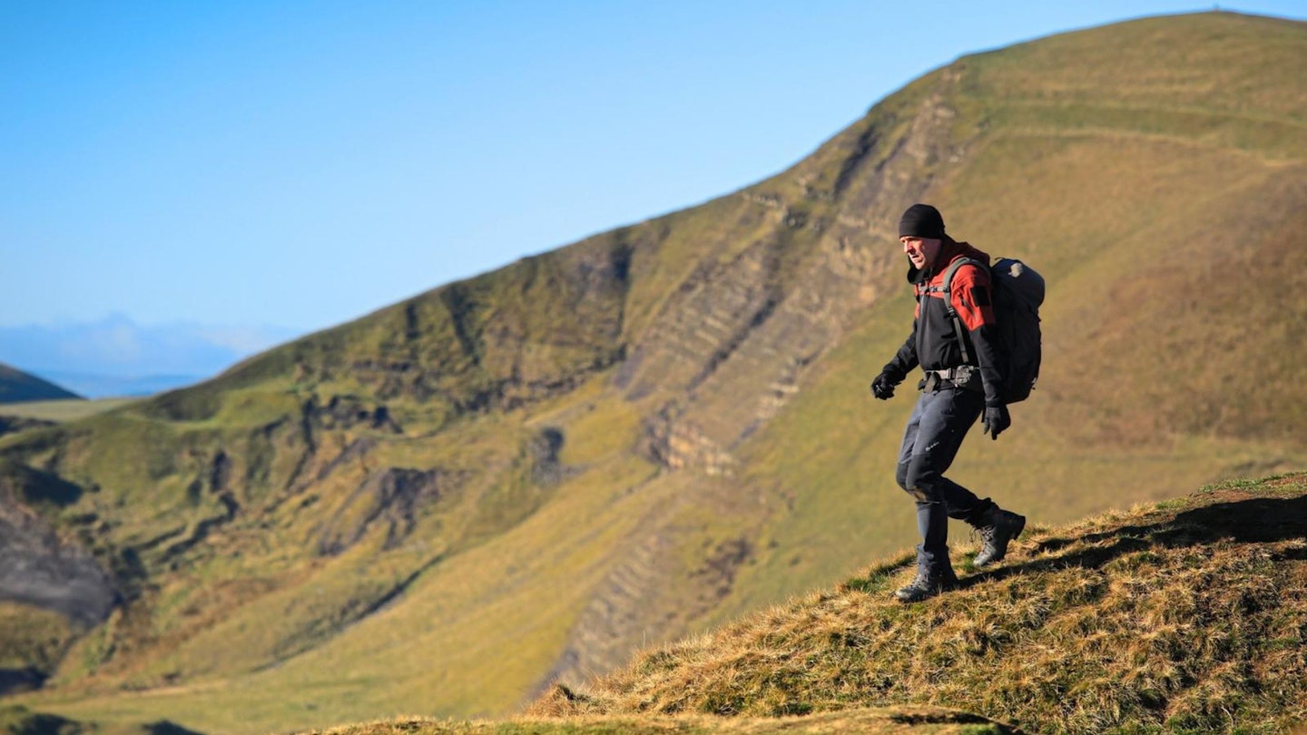
The routes we recommend have long, easy walking, with sections of moderate ascent and descent on footpaths. So, a good level of stamina for the initial ascent to the Great Ridge is needed.
The terrain is a mix of footpath, farm track, and open field, with a rocky path through Cave Dale. Limestone can be slippery when wet, and do not enter mine workings. The paths and trails are well-defined, and only require basic navigation skills.
Where is Mam Tor?
Mam Tor (OS grid reference SK127836) is in the heart of the Peak District, at the western end of The Great Ridge, and overlooks Castleton. It's about 14 miles away from Sheffield as the crow flies.
How to get to Mam Tor
By car, park at the Castleton Visitor Centre Car Park and follow our route guide below up to Mam Tor. Or if starting in Hope, drive to Hope and park in the village centre public car park.
Public transport is by bus from Sheffield, or take the train to Hope Station (on the Sheffield to Manchester line).
What gear do I need for this walk?
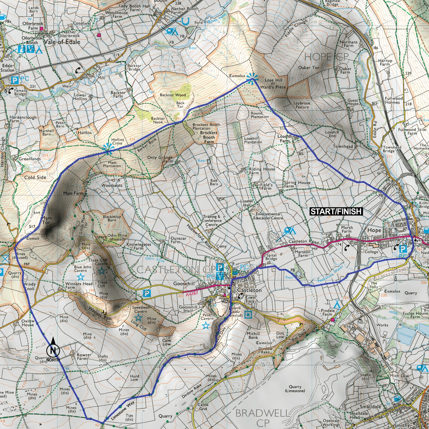
Route 1: Mam Tor and the Great Great Ridge, from Castleton
Distance: 15.6km | Time: 5hrs | Ascent: 611m | Difficulty: Medium

1. (OS grid reference SK149829)
Starting from the National Park visitor centre, turn left onto the A6187 and walk through Castleton following the road round a sharp left-hand bend. Shortly after, where the road turns sharp right, go straight on along Hollowford Road.
2. (OS grid reference SK147834)
As you reach Hollowford Outdoor Centre go right and follow the wide track across fields until you arrive at the track leading to Spring House Farm.
3. (OS grid reference SK156840)
Turn left following the signpost for Lose Hill and keeping to the right of the farmhouse, follow the track through a farm gate uphill to a picket gate. Go through and keep following the signs to Lose Hill, through a second picket gate aiming to the right of a copse of trees on the horizon. Pass the trees and go over a stile on the right then walk diagonally left to a second stile that finally gives access to the summit of Lose Hill.
4. (OS grid reference SK153853)
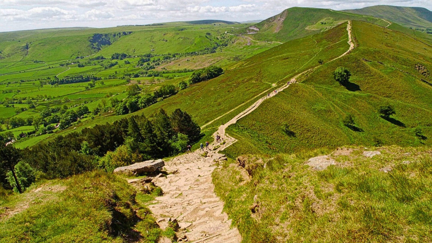
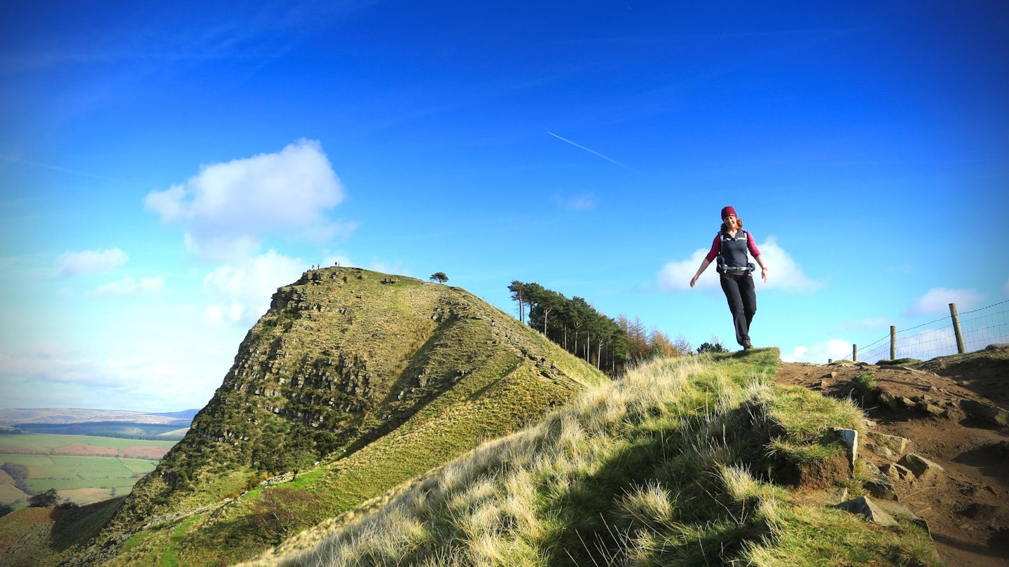
From Lose Hill (also known as Ward’s Piece*), follow The Great Ridge south-west, walking over Back Tor and intersecting the ancient coffin route from Edale to Castleton at Hollins Cross then arriving at Mam Tor.
The summit can get busy on a nice day, and is also subject to high winds which can make walking a difficult experience. Be careful not to venture too near to the edge.
*Named after the campaigner GHB Ward from Sheffield, who was instrumental in the first half of the 20th century for gaining access to much of the Peak District for walkers.
5. (OS grid reference SK127836)
Descend the steps south-west of the triangulation point following them down to a picket gate. Go through the gate across a field to a road. Cross the road diagonally left, then through a gate to proceed across Windy Knoll. At the other side exit via a gate on to a road and go right to reach a farm gate on the opposite side leading to a track.
Go through the gate and immediately leave the track and walk right across the field following the faint footpath that runs to the left of a long drystone wall until you arrive at a wide track running east to west. Go right along the track until you see a footpath going left over fields.
6. (OS grid reference SK122813)
Cross the wall and follow the left-hand wall south to a small clump of trees where two walls intersect. Go north-west from here to visit Eldon Hole and the surrounding lead workings. Do not attempt to enter any of the mines or chasms in the area. Return to the track. Then go right to the junction with the Limestone Way.
7. (OS grid reference SK135813)
Follow the bridleway northeast towards Castleton. As the trail arrives at the head of Cave Dale go through the gate in the wall and follow the footpath down through the limestone gorge emerging through a gate into Castleton village.
Go left along the road then bear left around the green and follow the narrow road to the junction with the A6187 through the village. Go left and return to the visitor centre.
Route 2: Mam Tor and the Great Ridge, from Hope
Distance: 14km | Time: 4.5hrs | Ascent: 526m | Difficulty: Medium
1. (OS grid reference SK171835)
From Hope’s public car park, cross the road and head right past a petrol station. Take a footpath just before the Curry Cabin, which leads up steps, past a small grassy meadow and through a snicket to a residential road. Follow this to a T-junction and cross the larger road.
2. (OS grid reference SK171836)
Pass though several small fields, cross a suspension bridge over the cement works railway line and pass a small stables. There’s a paralleling short track where the footpath stays to the right, and as your distance increases from the village, the fields get larger, and the hill steeper. If micro navigation in this section gets tough, you are always heading overall towards Lose Hill.
3. (OS grid reference SK158846)
Cross a small boardwalk bridge, then zigzag first left across the hillside above a house (Losehill Farm), then right and uphill again. As you approach the summit, fork right and over a couple of stiles into access land, then up a steep stone-pitched path to the summit itself.
4. (OS grid reference SK153853)
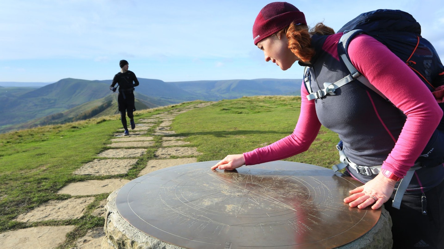
Enjoy the panorama at the summit, then head left along the ridgeline towards Mam Tor. Pass an impressive cairn at the top of a short but steep descent at Back Tor, then continue along the ridge to Hollins Cross where there is a short dip and a constructed viewpoint marker.
5. (OS grid reference SK136845)
Continue along the ridgeline, now rising steadily to the summit of Mam Tor. Pass the trig point and pitched dome of the summit, then descend a paved/stepped path down towards a lane at Mam Nick.
6. (OS grid reference SK125834)
Ignore the gate onto the road; instead continue down through a gate in pasture and descend grassy slopes to cross a busy road with care. Head slightly left to take an ongoing path, which cuts across grassy pasture while the main road does a large hairpin bend. Cross over the main road once more, then take a footpath up the gated driveway to Rowter Farm.
7. (OS grid reference SK129821)
Pass the entrance to Rowter Farm, then at a bend in the track, bend left with the main gravel track where a bridleway track joins from the right.
8. (OS grid reference SK135813)
Just beyond a gate across the main track, turn left through gates onto the Limestone Way. This heads roughly northeast to cut a corner off a large field, then descends to a junction of paths in a slight dip.
9. (OS grid reference SK138816)
Fork right on the bridleway (not the footpath ahead) to descend Cave Dale, a steep-sided limestone valley. At a second grassy track junction, it’s worth a brief detour left on a permissive access track for a good view over the dale, then return to the path through the dale. Descend increasingly stony rough ground, heading below Peveril Castle.
10. (OS grid reference SK150827)
Turn left on Pindale Road and descend right past a green grassy triangle (Market Place) into Back Street. Descend to meet the main road through Castleton on a sharp bend. Turn right, and follow this road past shops and Weaving Avenue.
11. (OS grid reference SK153831)
Fork right onto a path signed to Hope. Continue ahead where this narrows to a path, then briefly parallel the Peakshole Water stream through fields.
12. (OS grid reference SK159829)
Just after a stand of woodland, the river bears sharp left. Continue ahead, up a short rise and away from the river, crossing a series of stiles and short fields. Bear left at a waymarker, follow the fence line then cross the cement works railway line with care. Follow a gravel path out to a road.
13. (OS grid reference SK171832)
Exit left onto Pindale Road, and out to Hope village. Turn left onto the main road to return to the car park (or right to the rail station, about 1km east of the village).
Nearby pubs, cafes, and accommodation
-
Café Adventure in Hope has great breakfasts and good cakes.
-
Ye Olde Nags Head serves food and ale, and has accommodation, and is situated a few hundred metres from the finish of our Castleton route.
-
Three Roofs Café in Castleton.
-
YHA Castleton Losehill Hall offers affordable mixed, private, or camping accommodation options, and hearty breakfasts.
There are also plenty of pubs, cafés, and B&Bs in the Castleton and Hope town centres.