
The great east face of High Street forms a formidable barrier, and separates the Far Eastern, and Shap Fells from the main bulk of the Lake District mountains.
The only way up it for walkers is to make use of one of the truncated spurs, which reach eastwards towards Haweswater. The best of these is the craggy crest of the Long Stile, also known as the Riggindale Ridge.
A wonderful narrow arête, it lifts you easily from the moody shores of Haweswater and the flooded village of Mardale, directly to the lofty summit plateau of High Street with its wide-ranging views and its handy wall for a sheltered lunch stop.
The descent via Mardale Ill Bell opens up new scenery with a superb view down the length of Kentmere, then leads you via the old packhorse route past the dark waters of Small Water that, in the warmer months, is dappled by the rises of trout who make its cool depths home.
How hard is climbing High Street via Long Stile?
DIFFICULTY: Medium | DISTANCE: 9km (5.5 miles)
TIME: 4½ hours | TOTAL ASCENT: 680m
FITNESS: This is a fairly short and sharp Lake District mountain walk. It should be no problem for experienced hikers.
TERRAIN: A real mixture of lakeside path, rough pasture, rocky path, wooded col, narrow ridge, grassy summit plateau, steep fell side, exposed col and rocky corrie.
NAVIGATION: Straightforward enough, with clear hill shapes and paths to follow. However, if the cloud descends and visibility drops, you'll need map and compass skills to find your way.
Where is the start of the walk?
Car park at the head of Haweswater, grid reference NY469108. The nearest town is Shap and by car, the walk is fairly easily accessed from the M6.
What's the best map for High Street?
High Street, Riggindale Ridge | Step-by-step route guide
-
From the end of the road, just beyond the car park, join the path that heads north-west past the end of the reservoir. Cross the footbridge and then join the rocky path on the other side.
-
The path skirts north-east beside the lake and then climbs to a low grassy col by the woodland on The Rigg.
-
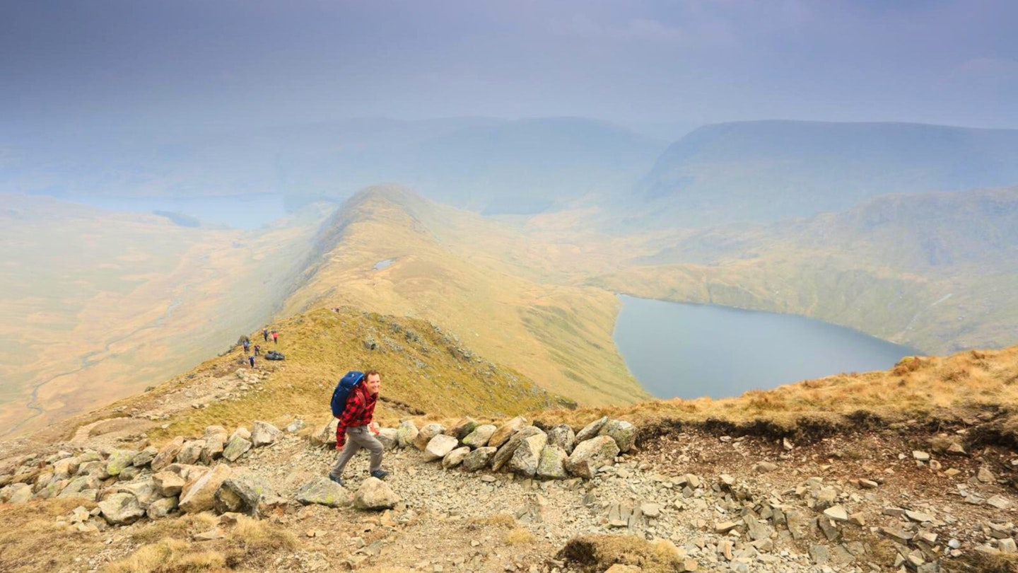
At the col, turn left and climb the crest of Long Stile west towards High Street. It gains height steadily with the path following the crest fairly closely. There are a few rock steps along the way, so if you fancy spicing it up a bit with some easy scrambling, you can always vary the route.
-
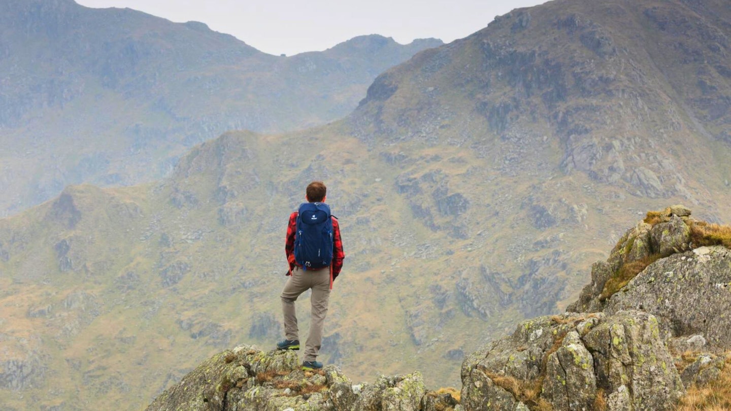
As the ridge abuts the main High Street ridge, there are some unavoidable narrow rock sections, which are furnished with large steps and holds, and whilst not scrambling in the true sense, there is a bit of exposure to deal with. Once on the summit plateau, continue west a short distance until you reach a wall, turn left and follow the wall to the summit.
-
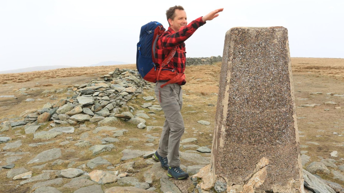
High Street summit trig point is set some way back from the best views, so if it’s clear it's worth wandering around the summit area to peer over the edge to take in all the surrounding fells and lakes. From the summit, head south then southeast to Mardale Ill Bell.
-
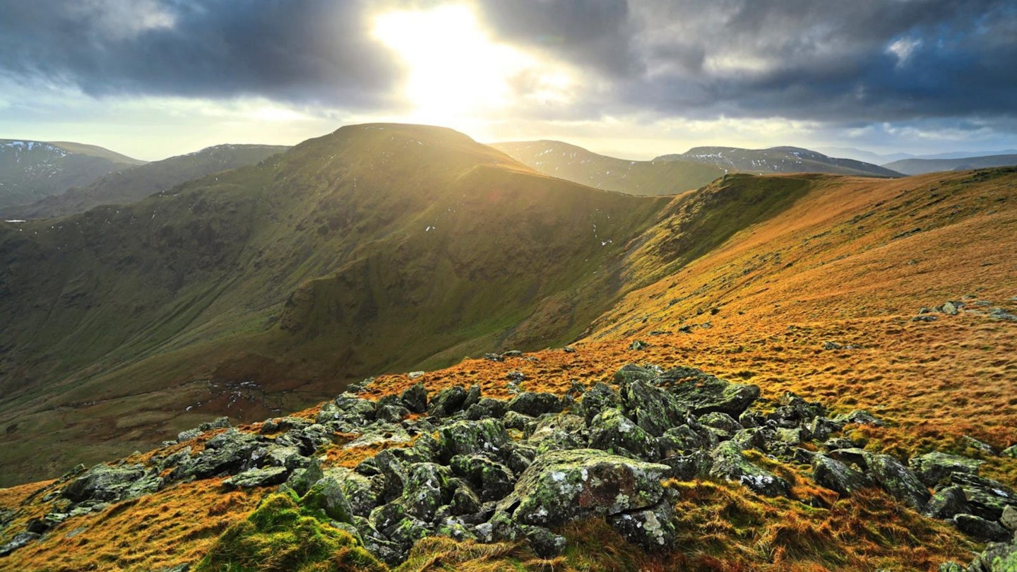
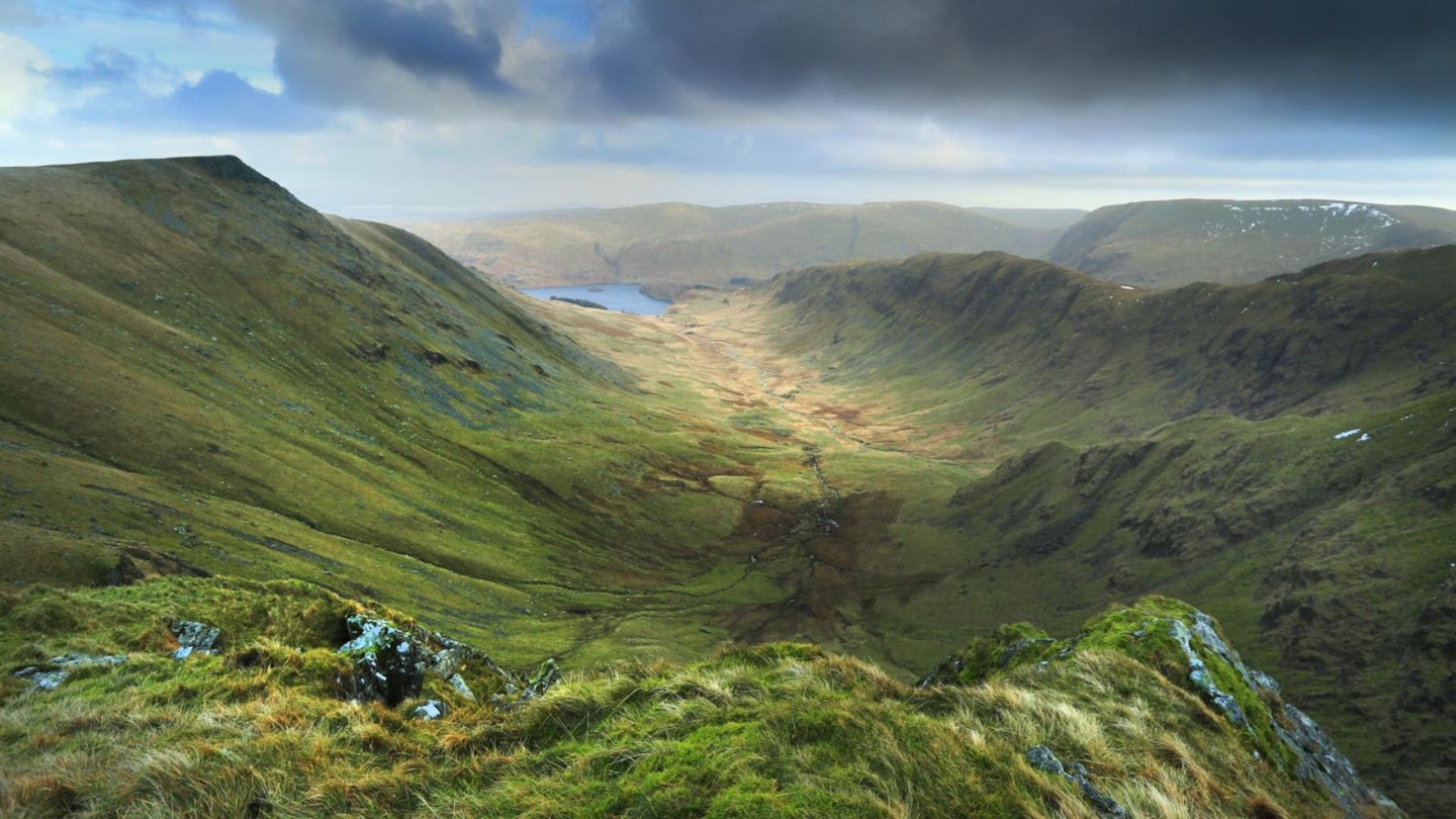
Mardale Ill Bell is positioned on a prominent shoulder and ringed by very steep slopes. All-round views make it a superb place to stop, take a breather, and drink in the surroundings. Due north, you can see the entire length of the approach route up Long Stile. The deep corrie below is occupied by Blea Water, which at an astonishing depth of 63m makes it the deepest tarn (and also the third deepest body of water overall) in the Lake District. From the summit, descend south-east, then east, to make the gradually steepening descent to the narrow slot of Nan Bield Pass.
-
Unless it’s calm, the Nan Bield Pass can be an unforgiving place, as wind often whizzes through the narrow confines of the col. To escape a blasting, turn left and join the old packhorse track (bridleway) which provides a rocky narrow path north then east down past Small Water.
-
The path then crosses the outlet beck at some stepping-stones and eases for the final section down to the Haweswater car park.
What walking gear do I need for this route?
This is a proper hillwalk on mountain terrain, so it shouldn't be taken lightly in terms of kit or planning.
We'd recommend the obvious basics of walking boots or hiking shoes, a good hiking daypack, a reliable waterproof jacket, and a pair of quick-drying walking trousers with some packable waterproof overtrousers in your bag.
You should also carry insulating layers because it can get cold, especially when you reach the open and exposed plateau of High Street's summit.
About the author
Nick Hallisey is the head of content for our outdoor magazines and has been walking, camping, running and writing about the UK's hills and mountains for more decades than he'd care to remember.