The Kentmere Horseshoe is one of our favourite mountain walks in the Lake District – and the best bit is it doesn't draw anywhere near as many crowds as some of the National Park's star names. So read on for our guide to one of the best hikes you'll find anywhere in the UK.
Wainwright-baggers almost universally love the Kentmere Horseshoe, or Kentmere Round as it is sometimes known. It is their chance to bag nine Wainwrights during a long day of efficient peak-bagging and, if Sour Howes and Sallows are added into the mix, a whopping 11 tops can be nabbed in one outing.
The Kentmere Horseshoe has given many Wainwright enthusiasts a big boost towards the magic 214 total. But it would be wrong to suggest this route is only for box tickers. It is one of the Lake District’s classic horseshoe walks – and rightfully so. It might lack the drama or majesty of others, such as Newlands or Mosedale, but the Kentmere Horseshoe is still a must-do for lovers of Lakeland.
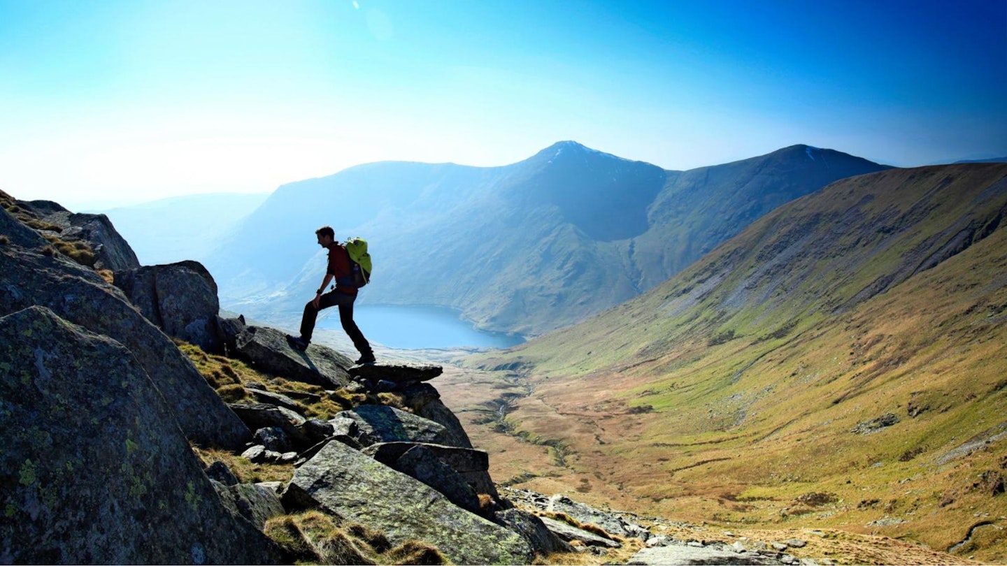
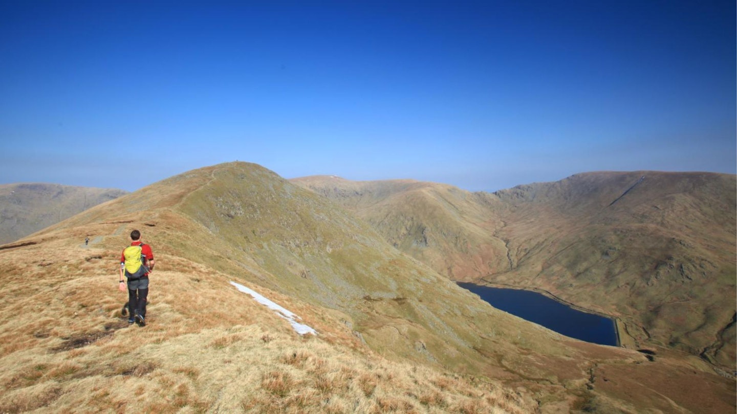
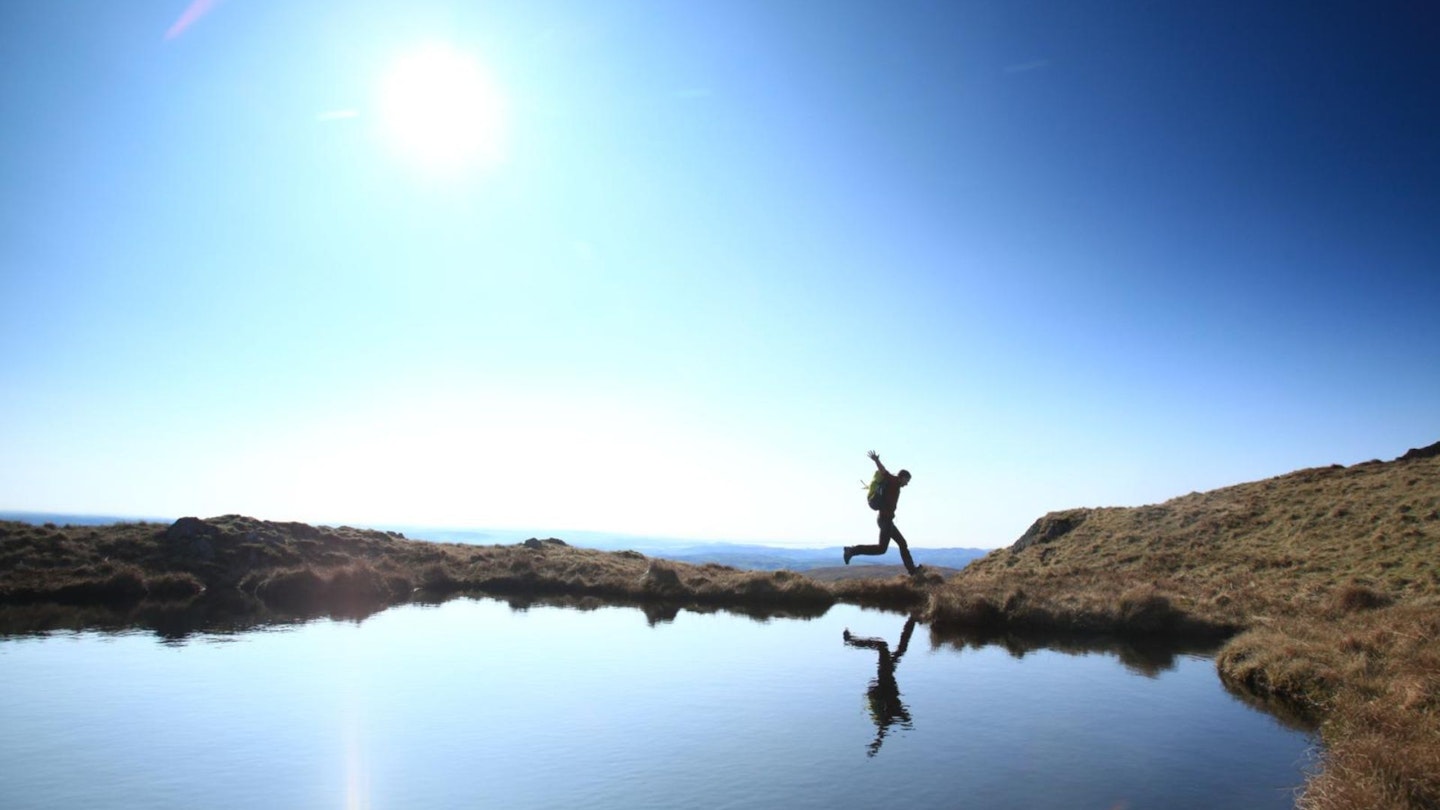
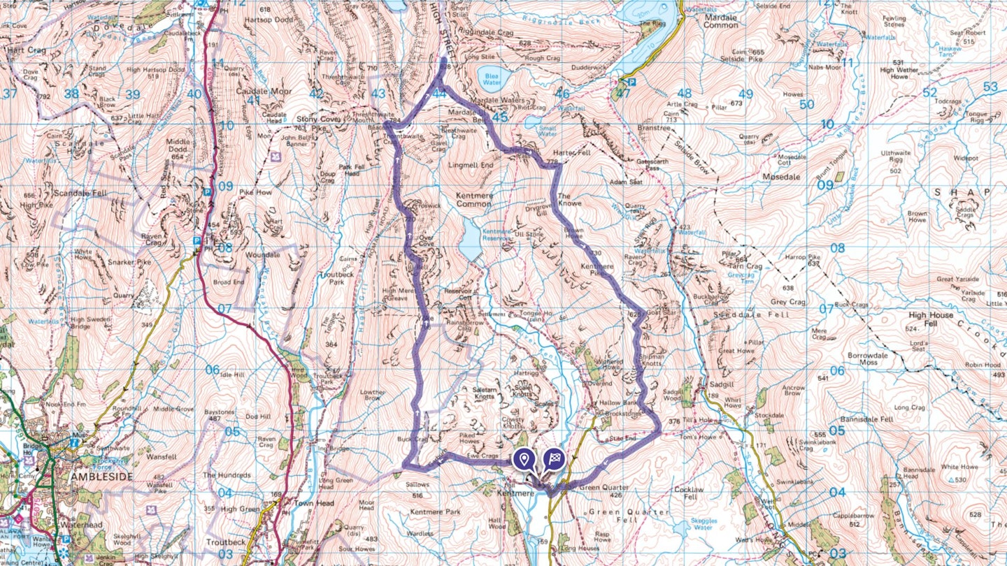
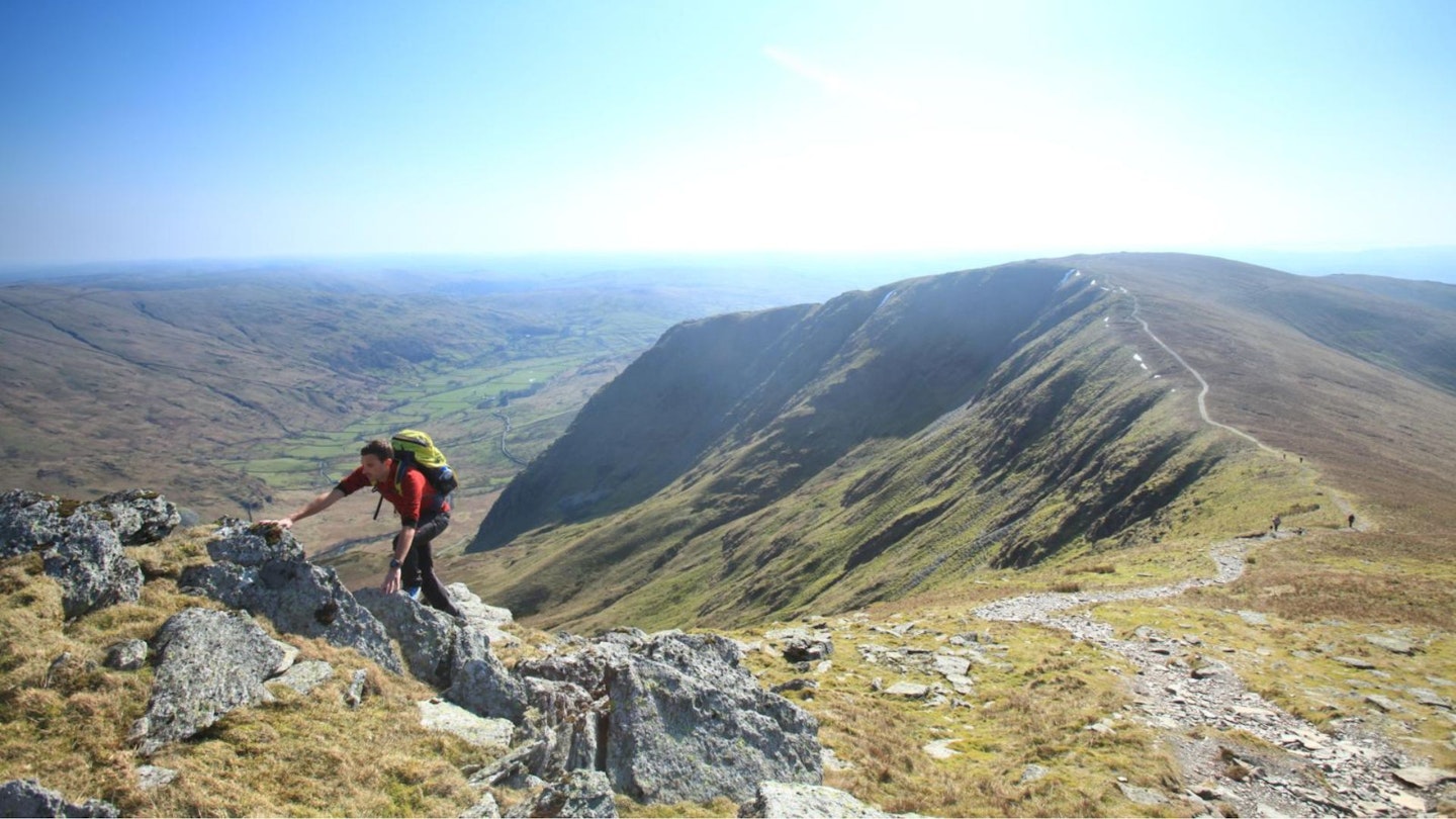
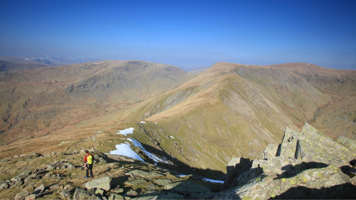
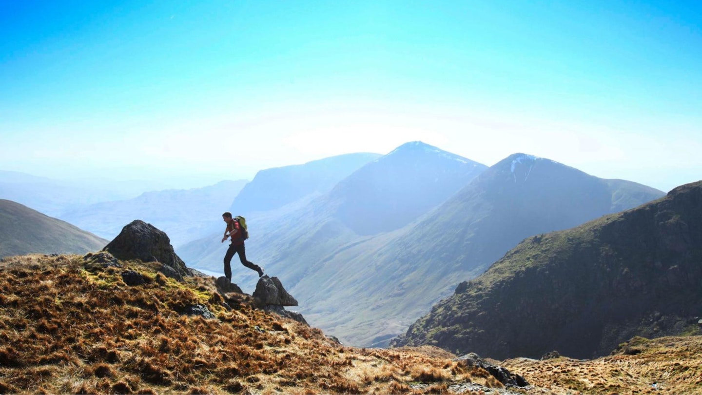
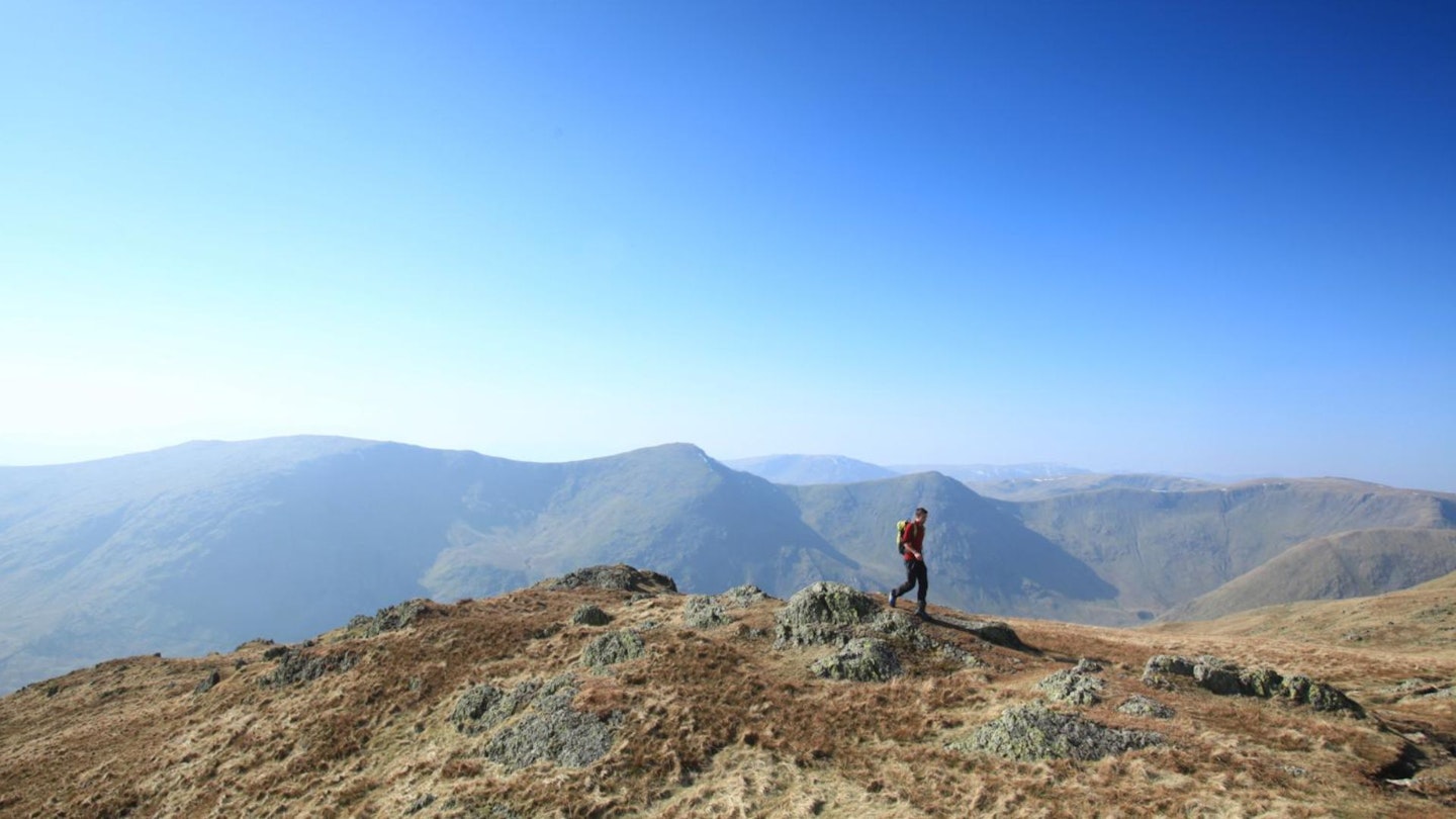
Starting in the quaint village of Kentmere, this high-level clockwise loop offers a long but thoroughly enjoyable day of airy ridge-walking, packed with superb views and a sense of tranquil remoteness. Scroll down to read our step-by-step guide, download our digital route from OS Maps, and add the Kentmere Horseshoe to your hiking bucket list.
CLICK HERE to download our Kentmere Horseshoe digital route guide in OS Maps
How hard is walking the Kentmere Horseshoe?
This is a long day of high-level walking on mostly good mountain paths, with some steep ascents and descents. The difficulty is more the distance (over 20km) and the amount of up and down, because you'll pile up around 1330 metres of ascent across the course of the route.
There isn't much to worry you in terms of technical terrain or steep drops and crags, but you'll need to take care with navigation if the cloud is low. You'll cross many summits throughout the day where different routes converge, so stay alert and make sure you don't take the wrong path and descend into the wrong valley!
How long does the Kentmere Horseshoe walk take?
The entire route covers 21.4km (over 13 miles), which will feel a lot longer due to the amount of ascent and descent. We estimate experienced hikers should be able to complete the route described below in around 8-9 hours, but obviously that depends on weather conditions, your own fitness, and the pace you like to walk at.
Where does the route start from?
The walk starts from the small village of Kentmere, at grid reference NY456041. Parking is very limited, but there is space for a few cars next to the Kentmere Institute. A farmer’s field by the bridge is occasionally opened for parking during the busier months of the year.
There is no public transport to Kentmere, but nearby Staveley is served by trains from Oxenholme or the Stagecoach 555 bus from Keswick or Kendal.
What's the best map?
This route is covered by OS Explorer OL5 and OL7 (1:25,000), plus OS Landranger 90 (1:50,000). You can order printed maps from the Ordnance Survey's map shop or download our digital route guide HERE.
Kentmere Horseshoe | Step-by-step route guide
Section 1
From the Kentmere Institute, take the minor road heading north to The Nook. Turn left and continue briefly, before turning right on a bridleway that swings west to cross a stream. Climb steadily west to Crabtree Brow and then, as you veer left, ascend more steeply on the Garburn Pass.
Arrive at a gate at the top of the pass. Continue west for 300m past the gate, with a fence on your left, and at a cairn turn right on a clear path that climbs north. Veer right towards a wall, go through a kissing gate, and ascend steadily to the 706m summit of Yoke, the first top of the Kentmere Horseshoe.
Section 2
Head north past a small tarn on your right, go through a gate and drop down to the col between Yoke and Ill Bell. Climb steeply north over rockier terrain, keeping safely to the left of the cliffs and crags of Rainsborrow Cove, and arrive at the twin cairns of Ill Bell. To the north lie the precipitous cliffs above Over Cove, so descend north-west on a clear, stony path to the next col.
Climb north over grassy slopes to Froswick’s 720m summit and descend north-west to yet another col. Continue steadily north on easy slopes and veer left, away from the Roman road to High Street, and instead head north-north-west to the towering column of Thornthwaite Crag.
Section 3
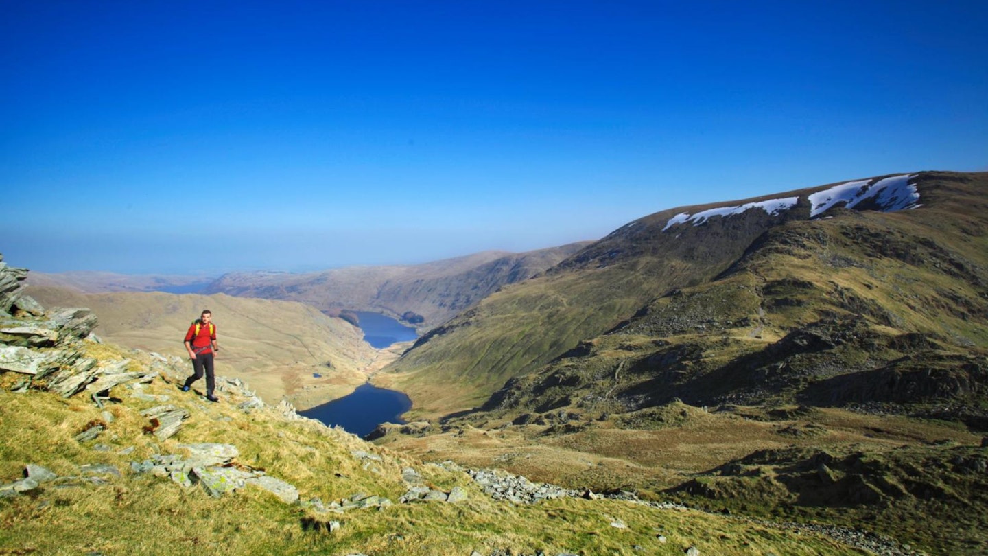
Turn right and head east and then north-east to join the Roman road, which swings northwards. Nearing the summit of High Street, veer right off the road on a narrower path and arrive at the 828m summit marked by a trig pillar. Follow a drystone wall south and, after 320m, turn left on a clear path heading south-east above Blea Water. Descend to the flat col before climbing easily to the 760m summit of Mardale Ill Bell, which is marked by a cairn.
Section 4
Drop south-south-east then east on a clear path, and arrive at the large wind shelter at Nan Bield Pass, above Small Water. Climb south-east and then east past a few cairns and arrive at the 778m summit of Harter Fell. Turn right along a fence and descend steadily over grassy slopes past The Knowe. Follow the fence, which becomes a wall at various stages, to veer south-east past a small tarn at Brown Howe before reaching a col and then climbing gently to Kentmere Pike.
Section 5
Descend south-east along the fence to Goat Scar, which can be bypassed if you so wish. Continuing to follow the fence, turn right, cross a ladder stile, veer left and gain the summit of Shipman Knotts. Drop south alongside a wall to Wray Crag before veering left to a prominent path junction.
Turn left through a wooden gate, turn immediately right through a kissing gate, and pick up a path heading south-west. Take the footpaths through the buildings at Green Quarter, go through a field, turn left on the road and arrive back into Kentmere.
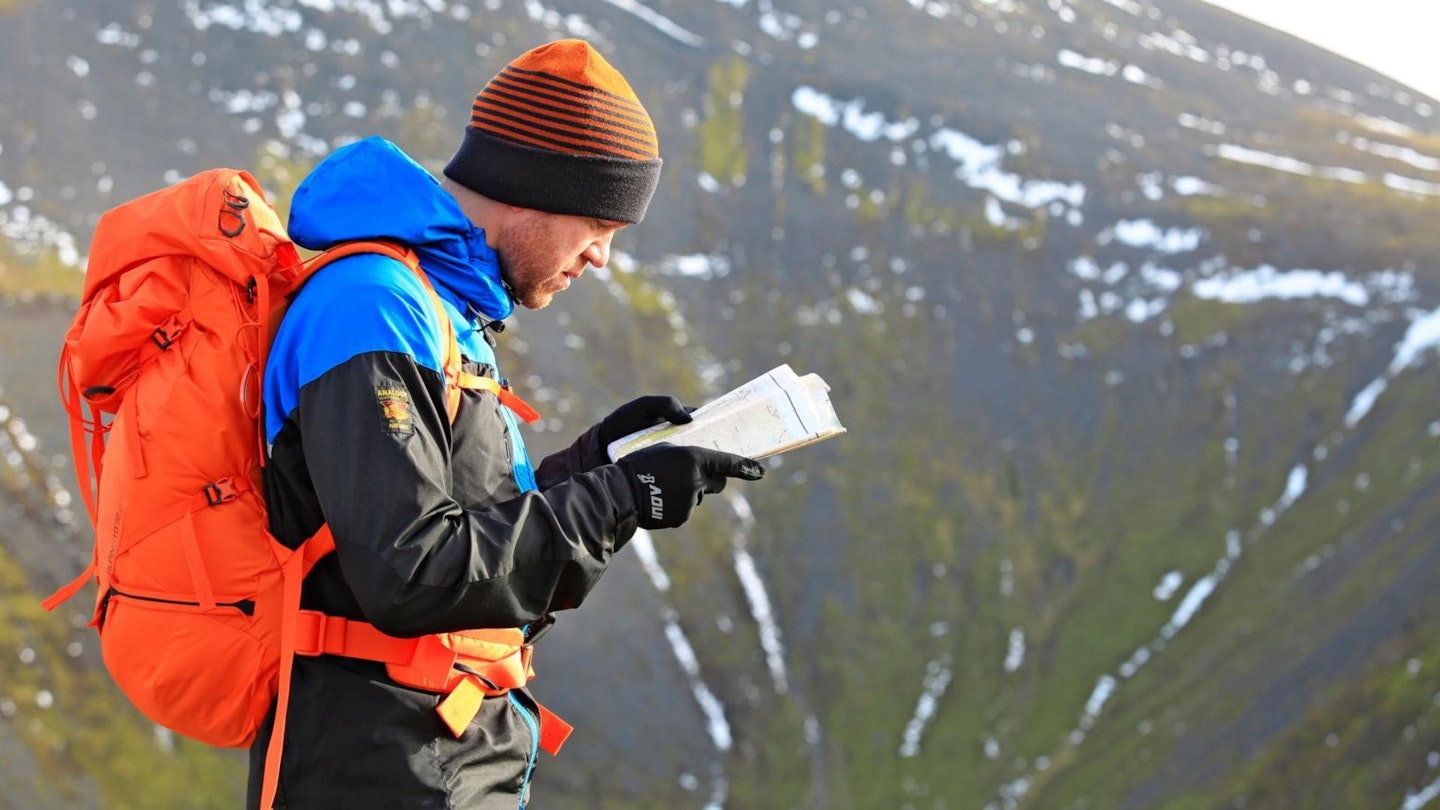
What walking gear do I need for this route?
Here's a selection of the best walking gear selected by LFTO's testing team: Walking boots | Hiking shoes | Hiking daypack | Waterproof jacket | Walking trousers | Walking poles | Walking mid-layers | Base layers
Where's the best place to stay near Kentmere?
We'd recommend the Eagle & Child Inn in Staveley, Meadowcroft Country Guest House in Ings, and Maggs Howe Camping Barn in Kentmere. There's also the excellent hostel at YHA Ambleside, plus good local deals to be found at Expedia and Booking.com.
About the author
James Forrest is a Lake District resident, a record-breaking long-distance walker and peak bagger, and one of the most experienced writers of hiking route guides in the UK. He's been writing regularly for LFTO and Trail magazine for most of the past decade.