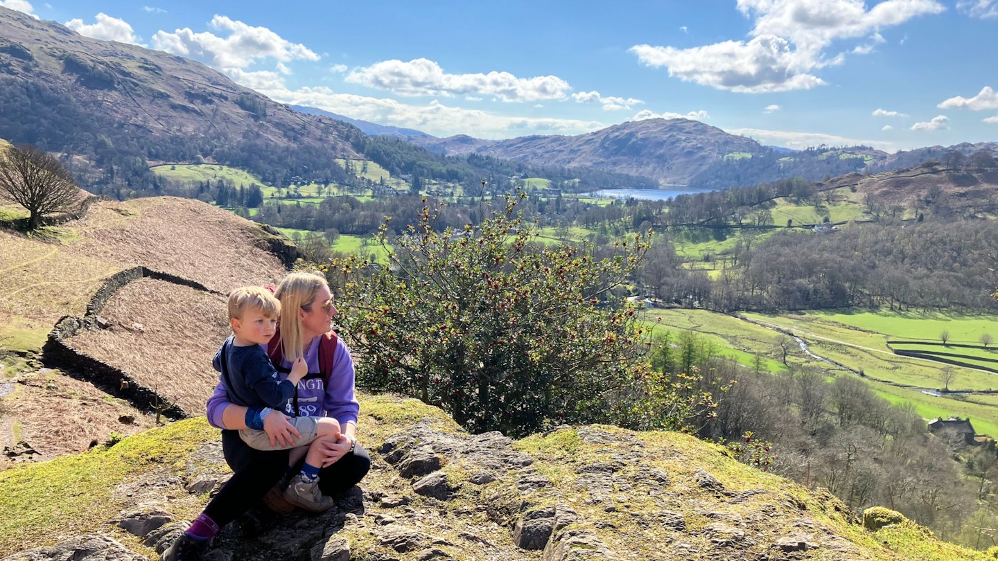
Even if you've never climbed Helm Crag you've probably seen it, looming above your car on the drive past Grasmere towards Keswick. This is one of the Lake District's most character-packed peaks, a perfect route for all ages, and one of the best hillwalks you'll find anywhere in England.
Legendary Lake District guidebook writer Alfred Wainwright labelled the summit of Helm Crag as better than Sca Fell, Helvellyn and Skiddaw. He waxed lyrical about the summit’s ‘remarkable array of rocks’ that ‘yield a quality of reward out of all proportion to the short and simple climb’. This walk explores all of these rocky wonders – and they don’t disappoint. But getting to the top of them isn't for the fainthearted or unprepared.
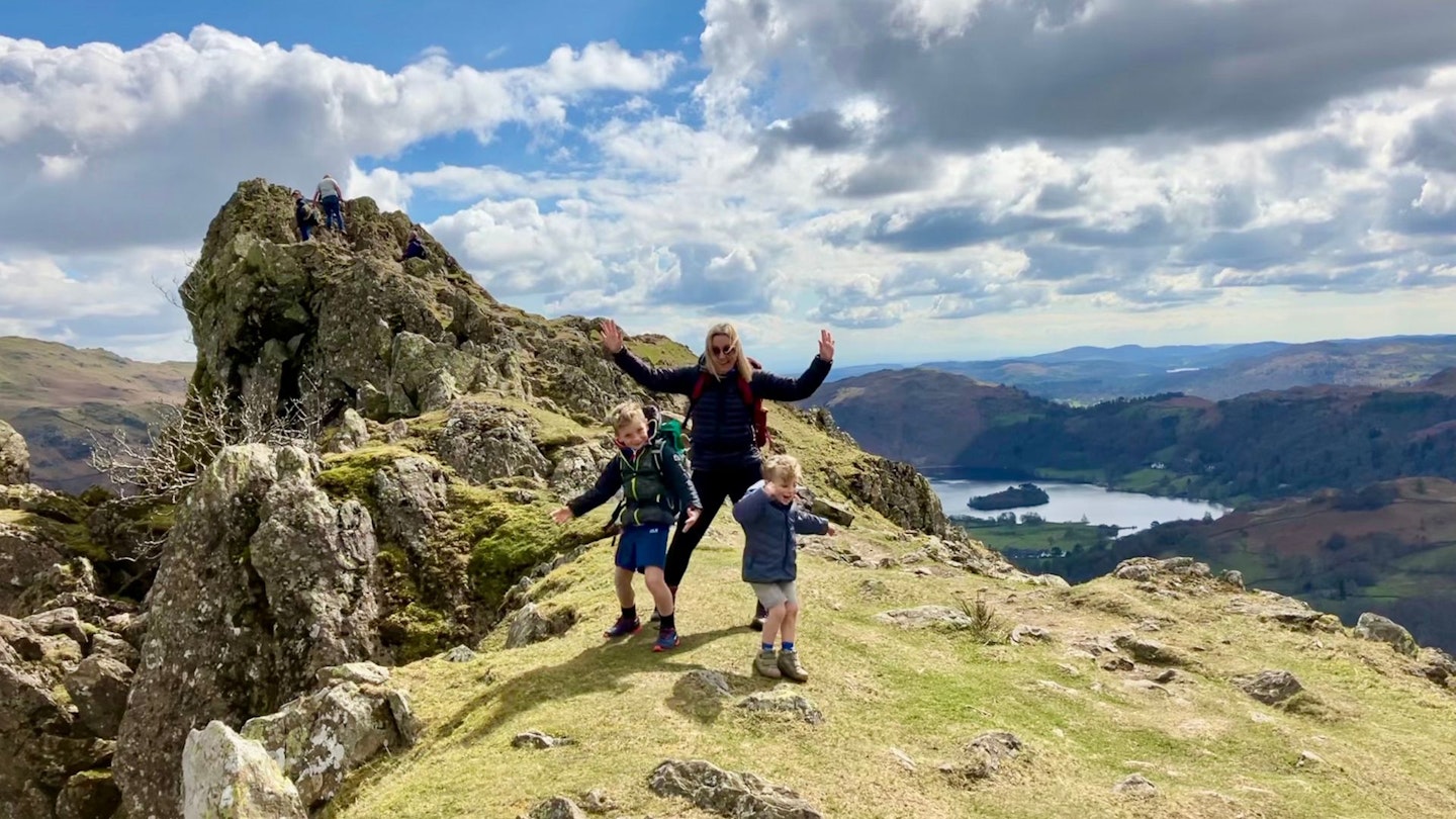
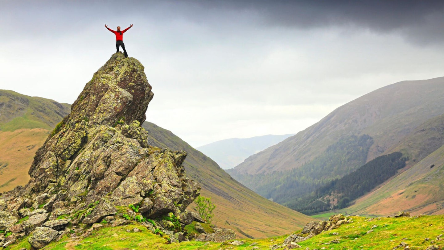
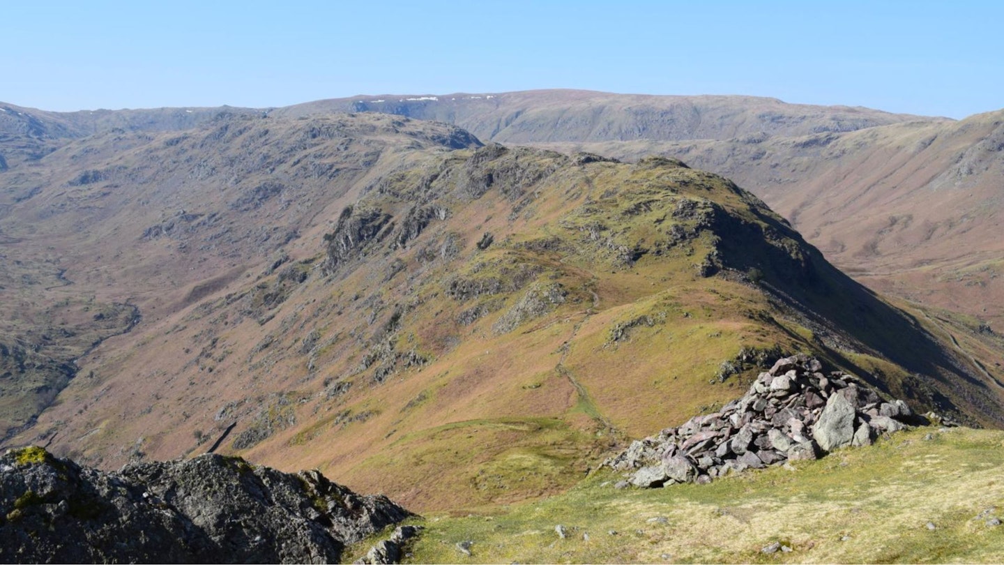
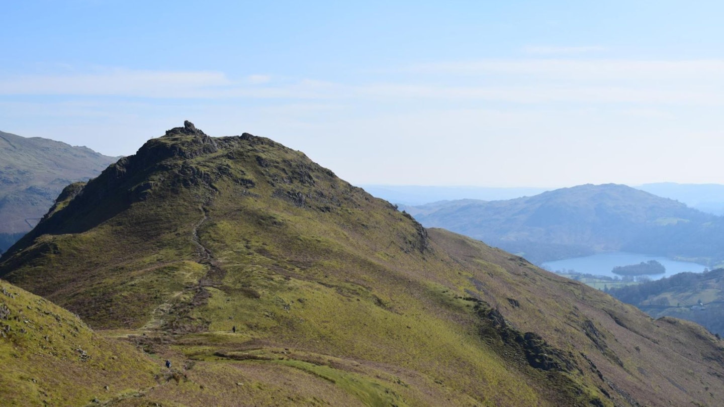
First comes The Lion and The Lamb, a dramatic rocky outcrop on the south-east end of the Helm Crag ridge. It does what it says on the tin – resembles a lion and a lamb – and is a relatively easy scramble to the top. Indeed, we've managed it without too much trouble, even with a 4-year-old. But, alas, this isn’t the true summit.
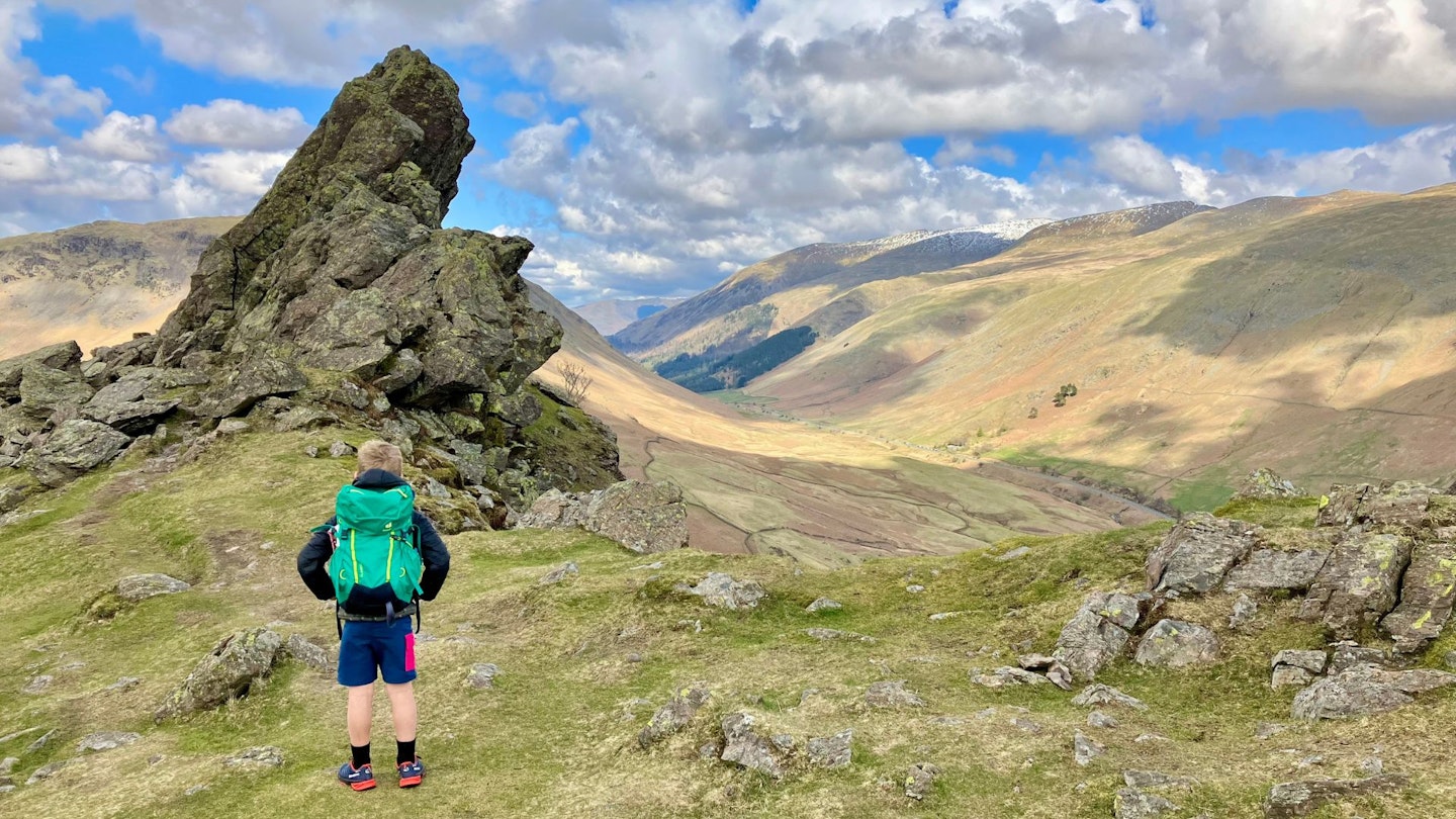
Beyond lies The Howitzer, a fear-inducing slab of angled rock that rises dramatically to claim its status as Helm Crag’s highest point. We've wimped out of the tricky scramble many times – as, famously, did Wainwright himself – and instead in this route we take the ridge ahead to bag Gibson Knott and Calf Crag, before returning via the delightful Far Easedale valley. It’s a classic Lakeland fellwalk – even if you don’t make it to the true summit.
CLICK HERE to download our Helm Crag digital route guide in OS Maps
How difficult is climbing Helm Crag?
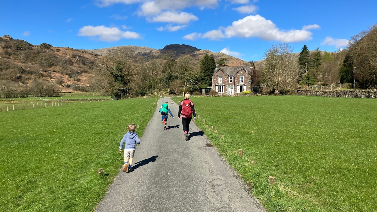
The route from Grasmere to the summit of Helm Crag is about as easy as hillwalking gets in the Lake District, with obvious signage to the bottom of the fell and easy-to-follow paths to the top. It's suitable for almost every age and ability, so expect to see toddlers and babies in backpacks on your way up.
Things get a little trickier once you reach the summit and are confronted with the rocky outcrops of the Lion and the Lamb and the Howitzer. We'd recommend the fun scramble up the Lion and the Lamb, but leave the Howitzer well alone unless you're a confident scrambler and a (very) competent down-climber.
How long does this route take?
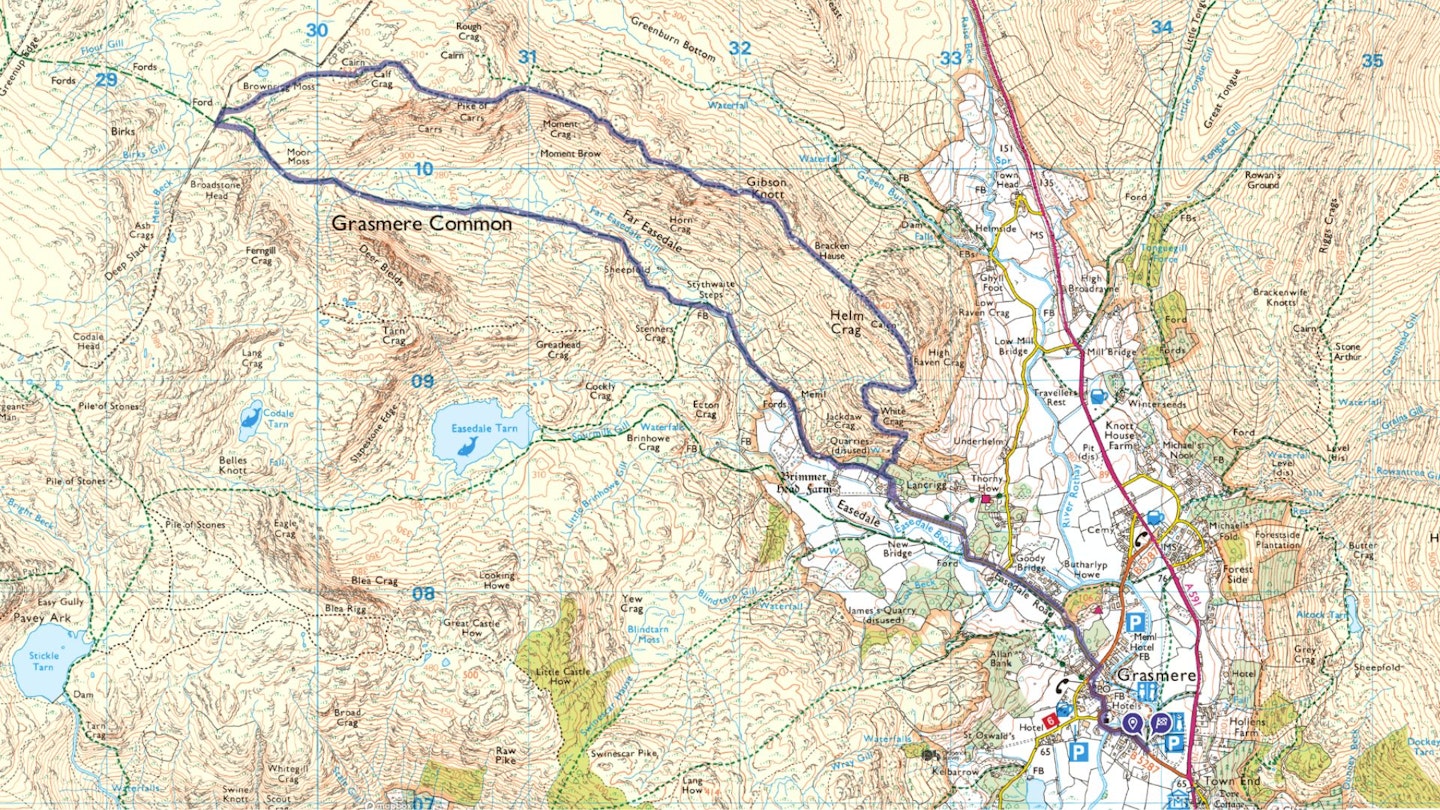
The route described below summits Helm Crag quite quickly, but to make this more of a walk the route continues over Gibson Knotts and Calf Crag before returning via Grasmere Common. If you take on the whole route you'll cover 13km, 853m of ascent, and we estimate it would take walkers with good fitness around 5 hours.
But if you simply want to climb Helm Crag and head back down the same way, it's a much shorter walk out-and-back walk from Grasmere that shouldn't take more than 2-3 hours. This shorter version of the walk is just 7.2km with 350m of ascent, so perfect for children and beginners.
Does the Helm Crag route start in Grasmere?
Yes, the easiest route up Helm Crag starts from Grasmere, which is packed with pubs, cafes, and shops selling all the treats walkers need. Street parking isn't easy to come by in this popular Lakeland village and Helm Crag is a very popular walk, so we'd suggest getting there early to bag yourself a spot in a layby or car park as close to the centre of Grasmere as possible
Our suggested route starts from the Lake District National Park Authority car park in Grasmere (grid reference NY339072). If travelling by public transport, the Stagecoach bus 555 from Lancaster to Keswick stops at Grasmere.
What's the best map for Helm Crag?
This route is covered by OS Explorer OL7 (1:25,000), plus OS Landranger 90 (1:50,000). You can order printed maps from the Ordnance Survey's map shop or download our digital route guide HERE.
Helm Crag | Step-by-step route guide
Section 1
Exit the car park and turn right on Stock Lane. Head north-west and north on the winding road through the village, passing a church and Sarah Nelson’s Grasmere Gingerbread shop. Continue along the road into the village and, just beyond Heaton Cooper Studio, turn left on Easedale Road. Pass the YHA hostel.
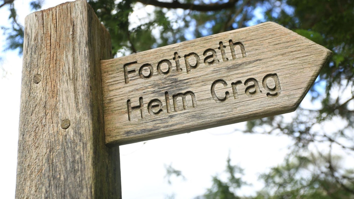
Continue north-west on the road, passing a row of cottages and crossing Goody Bridge over River Rothay. Follow the road as it loops right and then left to arrive at a junction next to cottages. Turn right on a track marked ‘Helm Crag Footpath’ by a fingerpost sign. Climb north on the stony track and go through a gate.
Section 2
Veer left briefly before going right at a junction. Walk along a walled track and emerge onto open fellside. Turn right to reach a cairn. Turn left to pick up the path ascending Helm Crag. Climb steeply, following a wooden fence first and then to the left of a drystone wall. Where the wall swings right next to a large boulder, turn left and climb west and north on a good path.
At a cairn, the path loops east and zigzags uphill. Gain the ridge and turn left. Climb steeply over rocky ground, veer to the left of The Lion and The Lamb outcrops, and continue over flatter terrain to The Howitzer. Competent scramblers may wish to explore both of these rocky outcrops, but caution should be taken. A fall could be fatal.
Section 3
Descend north-west from The Howitzer and pick up a cairned path zigzagging downhill to the col at Bracken Hause. Climb gently before veering left on a clear path traversing to the west of higher ground, rather than taking the ridge directly ahead.
Rejoin the ridge after traversing and head north-west over undulating terrain to the cairned summit of Gibson Knott. Continue north-west and west on the ridge, negotiating a series of minor depressions and rises. Pass beyond Pike of Carrs and arrive at the summit of Calf Crag.
Section 4
Descend gently west and south-west, crossing a stream and passing to the left of the tarn at Brownrigg Moss. Arrive at a cairn next to a line of old metal fence posts and turn left. Descend south-east on a stone-pitched path, staying above and to the left of a stream. Follow the stream as it veers east. Take care as the path crosses the stream before continuing downhill, aiming east into the Far Easedale valley. Veer south-east to pass above a couple of prominent sheepfolds and a holly tree, and arrive at a footbridge over Far Easedale Gill.
Section 5
Cross the footbridge and turn right. Bear south-east, following the ghyll and a drystone wall. As the ghyll heads south, turn left along the wall and arrive at flatter terrain. Veer left and right past stone barns and continue beyond Brimmer Head Farm.
Continue east past another stone barn and along a wide, walled lane. Ascend briefly and arrive at path junction. Continue ahead before turning right through a gate. Descend the stony path next to houses and turn left on the road. Retrace your steps back to Grasmere and beyond to the car park on Stock Lane.
What walking gear do I need for this route?
Here's a selection of the best walking gear selected by LFTO's testing team: Walking boots | Hiking shoes | Hiking daypack | Waterproof jacket | Walking trousers | Walking poles | Walking mid-layers | Base layers
Where's the best place to near Grasmere?
Options are plentiful, including YHA Grasmere, The Inn at Grasmere, and Wordsworth Hotel & Spa. Expedia and Booking.com are good places to look for good accommodation deals around Dolgellau.
About the authors
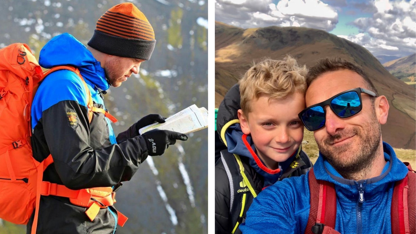
The longer route guide in this article is by James Forrest, a Lakeland resident and one of the UK's leading writers on hiking routes and gear. Extra info has been supplied by LFTO editor Oli Reed who's climbed this peak many times, including with his two young children in spring 2023. Both kids described it as their favourite ever day in the hills, confirming Helm Crag's deserved reputation as a wonderful family peak.
CLICK HERE to become a Trail magazine subscriber and get 50% off a whole year of digital OS Maps