
Whinlatter Forest Park can be an easy place to overlook as a hillwalker, despite being so conveniently located at the foot of Grisedale Pike and the Lake District's North Western Fells.
After all, the forest is perhaps most famous for its mountain bike tracks and its local branch of a popular tree-climbing amusement park.
But head south of the rather glorious Whinlatter Pass and beyond the plantation tracks you’ll find an appealingly diverse way to explore some of the most pleasing summits in the Lake District’s north-west.
These come in the form of Grisedale Pike, Crag Hill and Hopegill Head – with the bonus tops of Sand Hill and Ladyside Pike (and perhaps even Grasmoor too, if you’re feeling ambitious) thrown in to keep you entertained along the way.
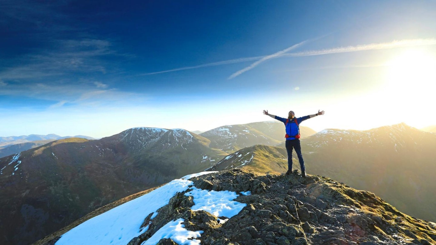
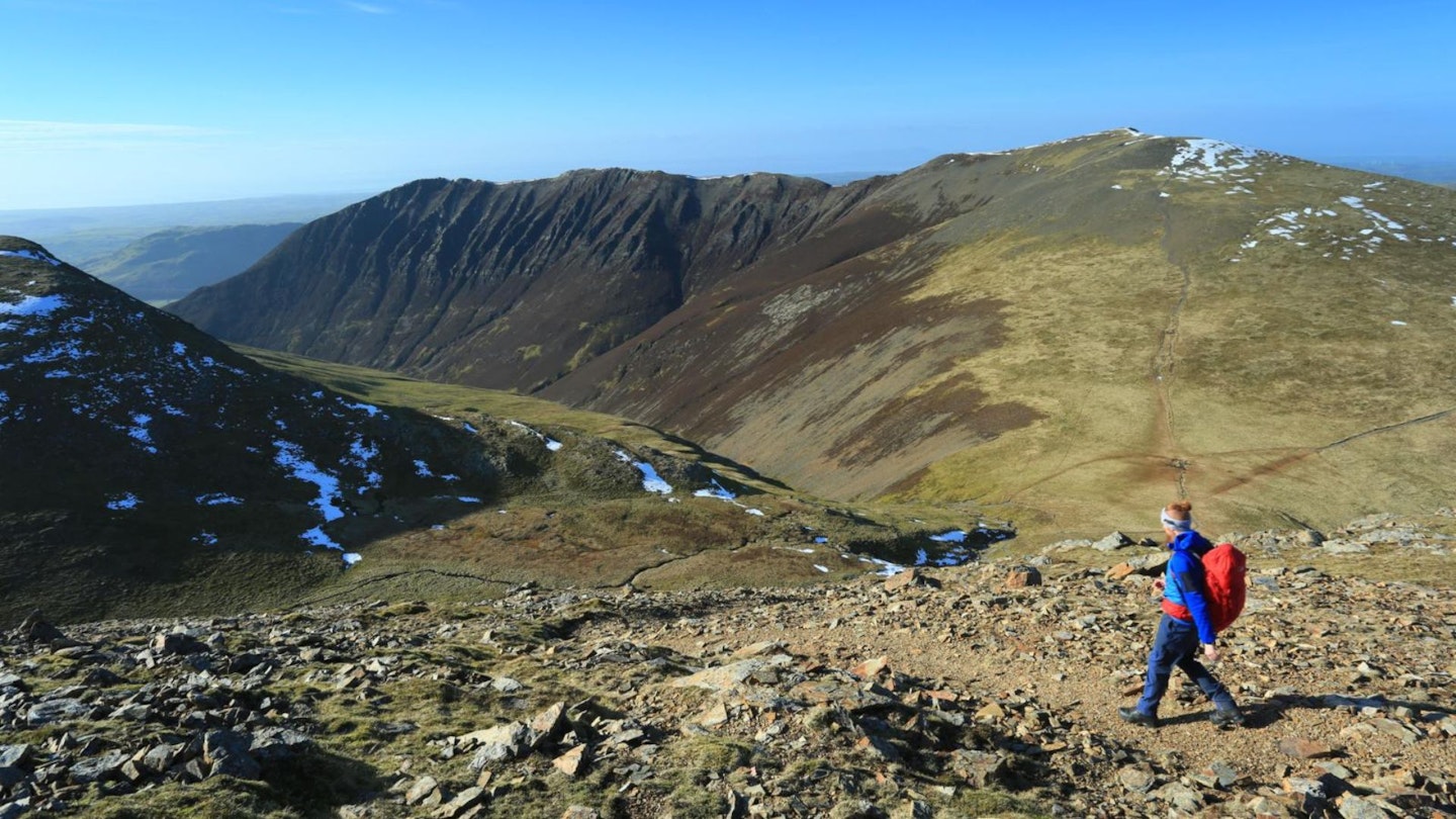
That main trio make for a choice 14km-or-so of walking. Grisedale Pike’s summit is dramatically positioned above the forests, overlooks Keswick and Skiddaw, and feels well-earned after the slog up its north-east ridge.
The prow of Crag Hill opens up fresh views across the rippling sea of the Central and Western Fells. And, finally, sharply sculpted Hopegill Head adds drama and airiness to the walk’s latter stages.
Beginning and ending within the folds of an evergreen treeline adds a soothing and perhaps even slightly primal flavour to the experience - something even the un-wild reality of a managed plantation fails to dispel.
How hard is climbing Hopegill Head?
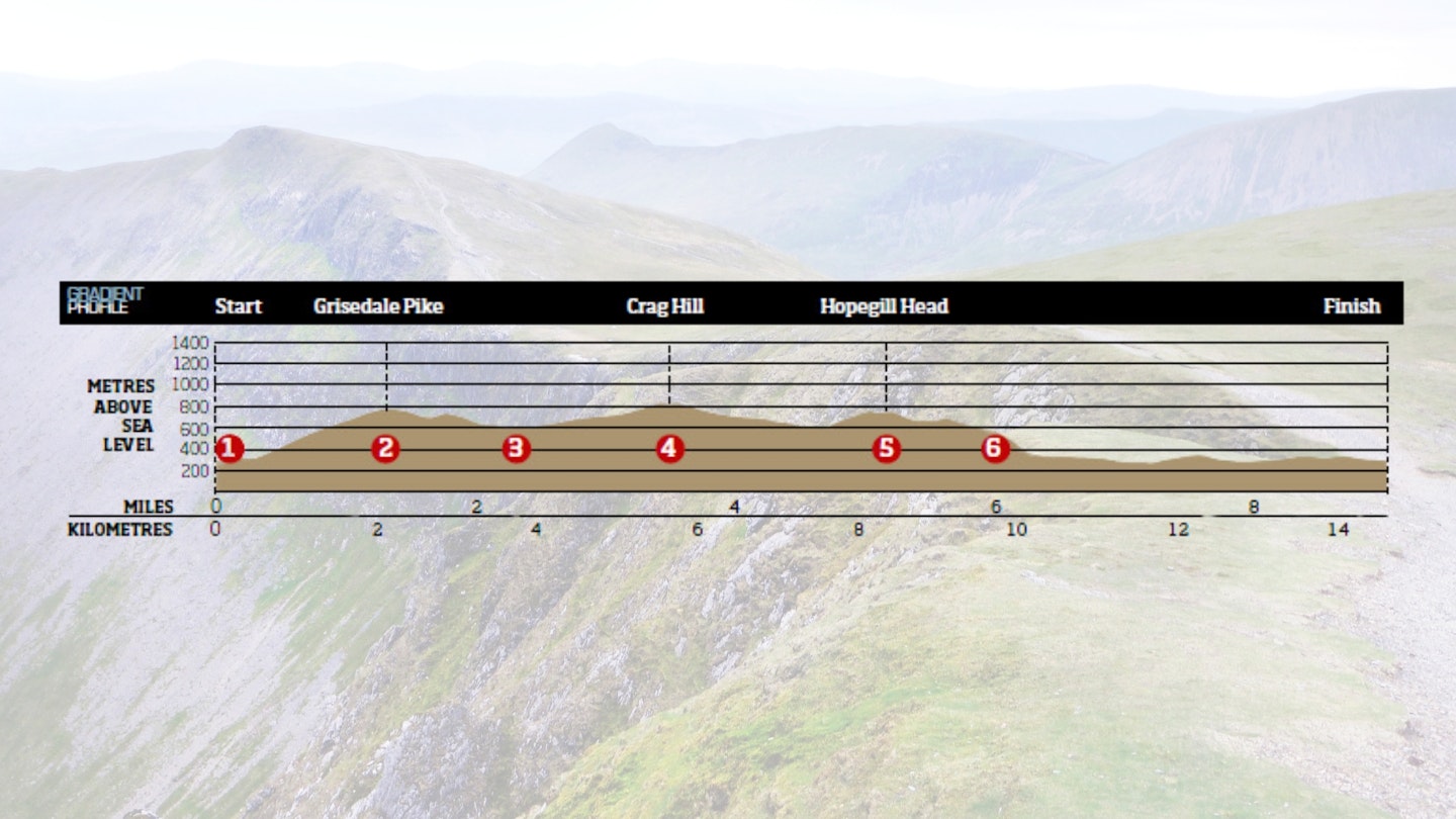
DIFFICULTY: | DISTANCE: 14.5km (9 miles)| TIME: 5½ hours | TOTAL ASCENT: 1063m
FITNESS: We'd describe this is a typical Lake District fell walk. The ascent and descent will stretch your legs but if you're used to mountain walking you'll have few issues.
TERRAIN: Mixture of plantation track, variously maintained hillside path, occasional small and craggy summit and a small section of off-path walking on open hillside.
NAVIGATION: Simple enough in clear conditions but you'll need map and compass skills if the cloud drops.
Where is the start of the walk?
Car park at Comb Bridge in Whinlatter Forest, with Keswick the nearest town.
What's the best map for Hopegill Head?
-
CLICK HERE to view and download our digital route guide in OS Maps
-
Harvey British Mountain Map (1:40,000) Lake District
Hopegill Head and Grisedale Pike | Step-by-step route guide

-
Park at the picnic area at Comb Bridge (opposite the busier pay car park at the Whinlatter Forest Park visitor centre) and follow the forestry track west then south-west towards the north-eastern base of Grisedale Pike. The ascent route begins immediately after the apex of the fence marked on OS maps, and follows the line of this fence straight up the hill’s broad and moderately steep ridgeline before turning south to tag the summit.
-
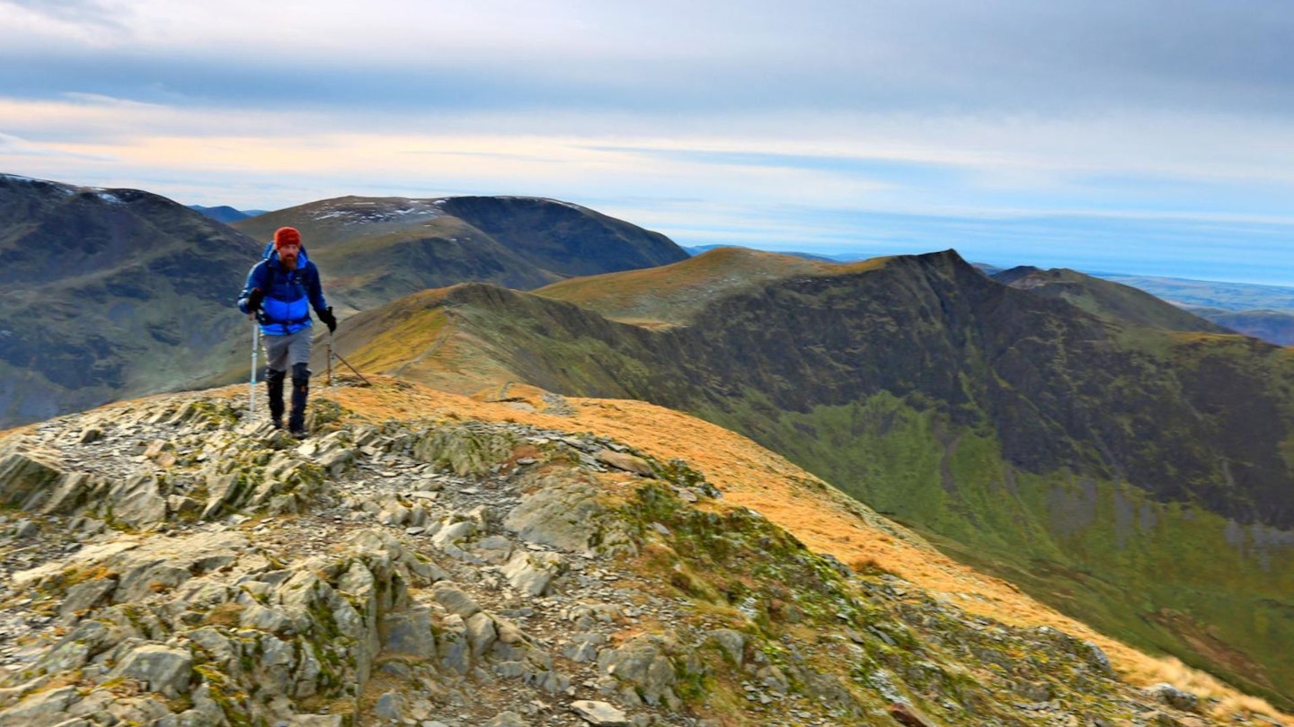
It’s a scenic stop, and the views of Keswick, Derwent Water and the northern fells of Skiddaw and Blencathra are excellent. From here you’re heading south-west, down then up and over the 739m spot height, then following the path south-west around the hillside, past the nascent Pudding Beck before reaching the well-trampled crossroads of Coledale Hause.
-
It’s possible to take a more direct line up the steep and broken ground just east of south to the summit, but it would be pretty uncomfortable and uncertain work. Instead, follow the clear track south-south-west until you reach the crossroads marked 722m inbetween Crag Hill and Grasmoor. You could dash up the latter if time allows; otherwise turn left to follow the path westwards up to the trig point summit of the former.
-
From here you’d have little idea of how severe the crags are to the north, south and east, so rounded is the hill’s western approach. Enjoy the expansive views of the Central and Western Fells before retracing your steps to Coledale Hause and this time taking the path that runs just west of north up and over the cairned summit of Sand Hill before suddenly arriving at the rocky, sheer and giddily airy summit of Hopegill Head.
-
The views across to Grisedale Pike, and down into the Hobcarton plantation are inspiring. However, your approach to Hopehill Head will not have been anywhere near as tricky as the descent you’re about to make, down towards Ladyside Pike. In dry conditions it doesn’t quite qualify as a scramble, but requires slow, precise footwork to attempt safely. Under ice it will almost certainly necessitate crampons. This short section overcome, follow the fence line over the summit of the pike and continue on until you reach another fence, heading off at a right angle to the north-east.
-
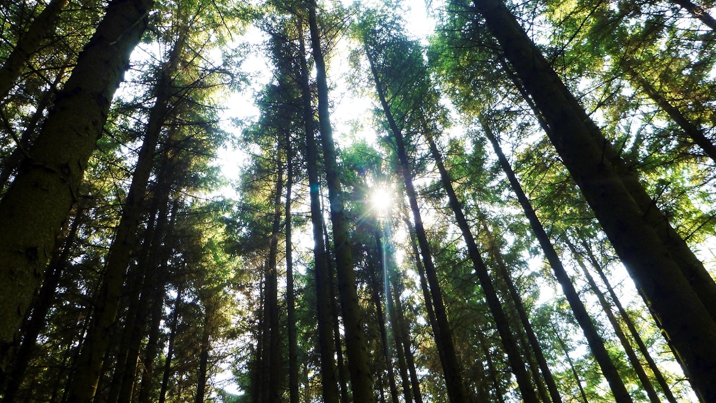
Work your way down to the edge of the plantation, seeking out the track (marked on OS maps) that crosses the fences and hooks up with the plantation paths. If you cannot comfortably cross the fence line, you may need to follow it north to find a suitable stile. Once within the plantation it’s best to follow marked clearings and paths. Although it’s possible to take alluring shortcuts (and well-worn openings may seem particularly tempting!) they as often as not lead to dead ends or stream crossings. The choice is yours, but after a full day on the hills you may wish to take the surer option.
What walking gear do I need for this route?
Here's a selection of the best walking gear selected by LFTO's testing team: Walking boots | Hiking daypack | Waterproof jacket | Walking trousers | Walking poles | Walking mid-layers | Base layers
Where can I eat and drink?
Countless options in nearby Keswick. Boothssupermarket is great for supplies, and we love the chippy in the town square.
Where's the best place to stay?
Lanefoot Farm campsite, Thornthwaite, and the excellent YHA Keswick.
About the author
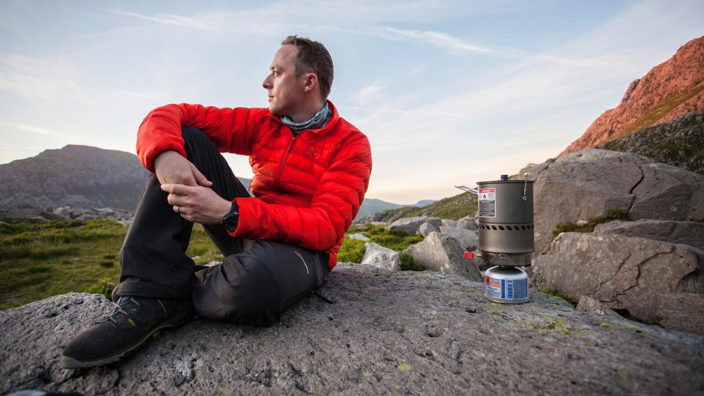
Dan Aspel (below) is a vastly experinced outdoor writer who previously worked as a staff writer for Trail magazine. He's walked and climbed all over the UK and Europe and written many route guides and gear reviews for LFTO.
This route originally appeared in the April 2017 issue of Trail magazine. CLICK HERE to become a Trail magazine subscriber and get 50% off a whole year of digital OS Maps