The Fairfield Horseshoe is one of the Lake District's finest mountain routes, offering great views of Cumbria's lakes and peaks in one continuous circuit from Ambleside. But what's the best way to walk it? Read on for our guide.
There is a particular elegance in being able to climb a succession of peaks and taking advantage of high-level links to do it efficiently. This is the base theory behind most horseshoe walks and applying it has generated a huge number of superb routes.
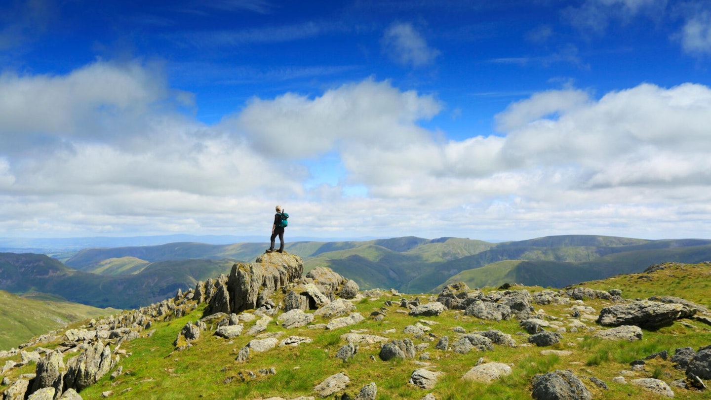
Some of Britain's greatest mountain routes fall into this category and the range of difficulty, both in terms of endurance and technicality, can at times stretch this theory to the limit. The gold-standard horseshoe walk is perhaps the Lake District's Fairfield Horseshoe. It is arguably the most well-known, and although there is no specific record, its central place at the home of fell-walking would suggest it was perhaps the first.
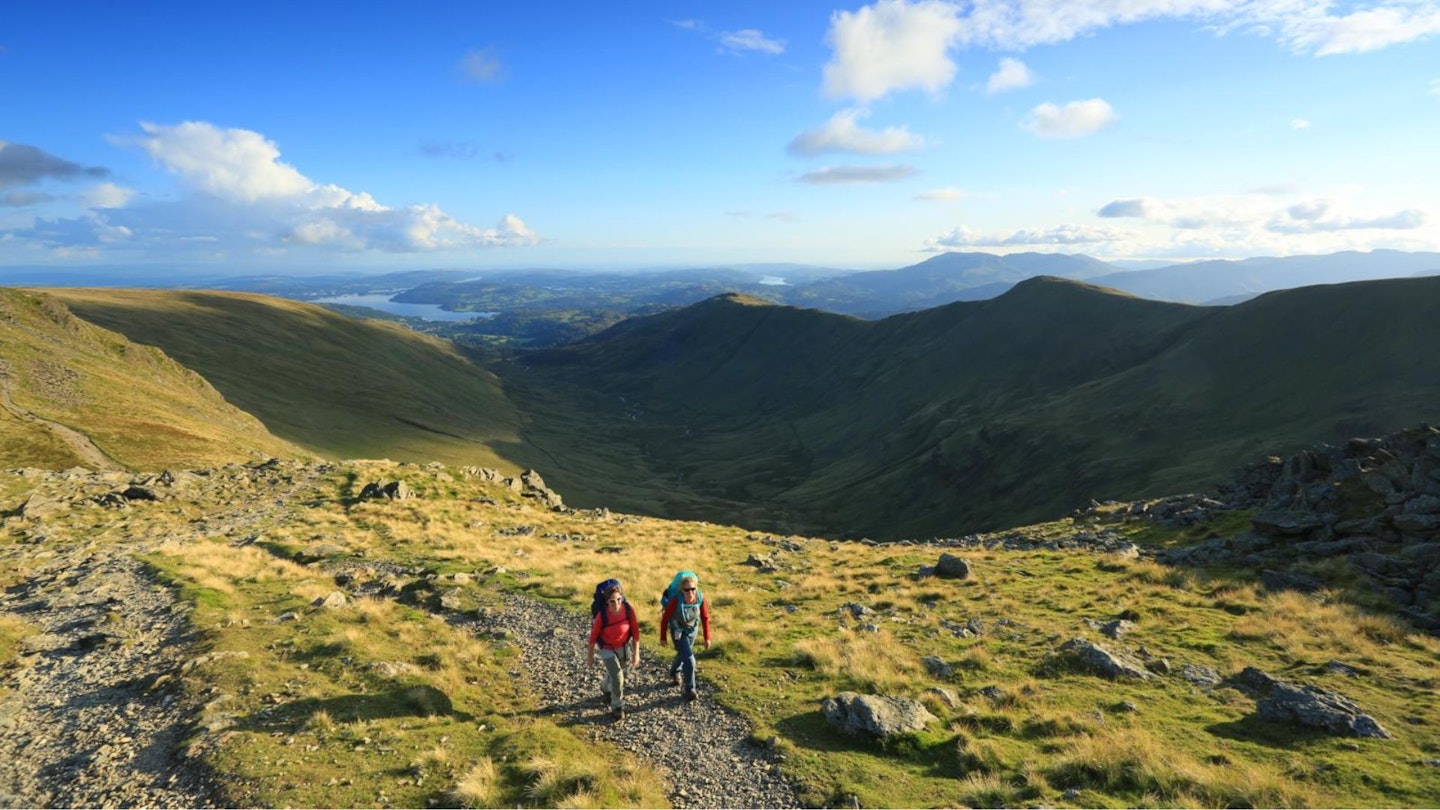
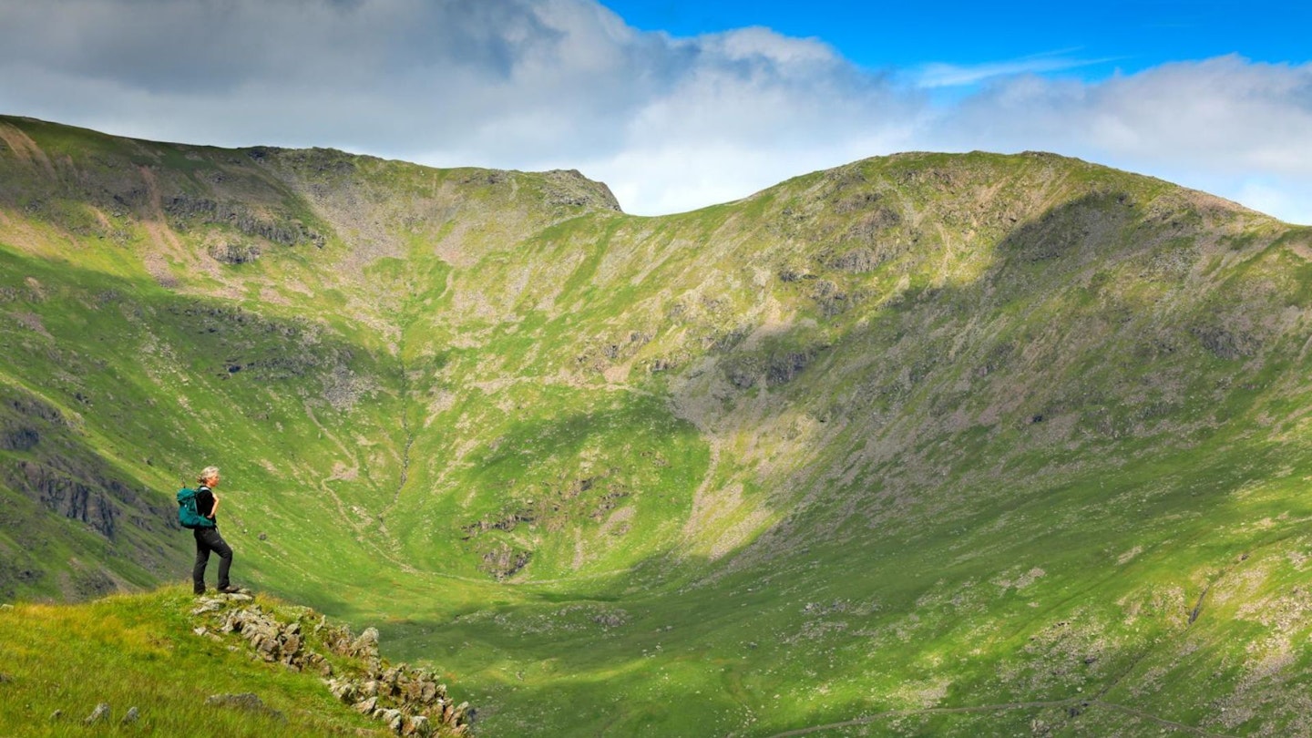
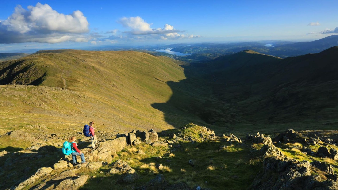
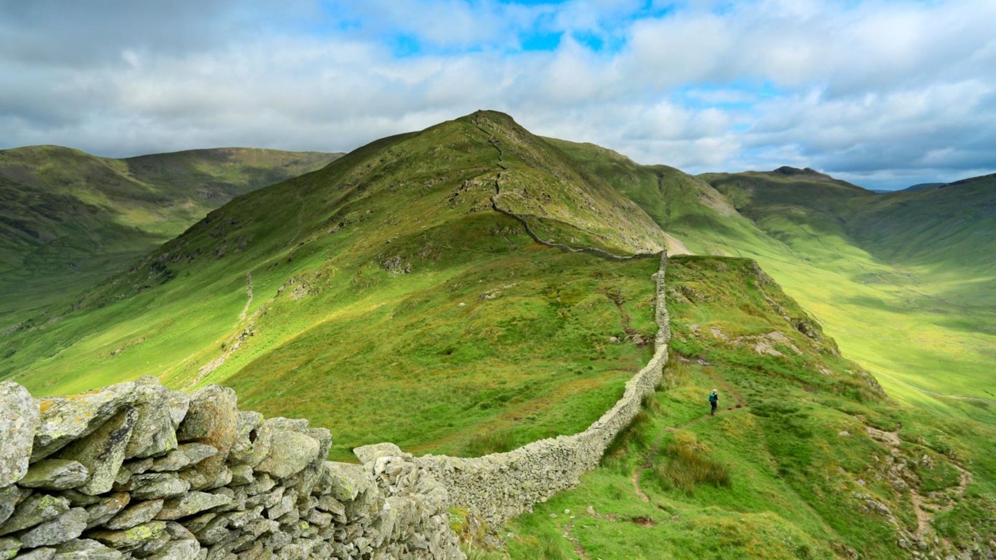
The Fairfield Horseshoe's summit sits at the head of the deep, south-facing U-shaped valley of Rydal. The enclosing ridges are punctuated by eight individual peaks, defined by steep dramatic slopes on both sides. It is the steepness and clean lines of both the valley and the summits that give the horseshoe its distinct and identifiable appearance. The enclosing ridges are linked together with an ascent of Fairfield and provide fine high-level walking with minimal up and down once their crests have been gained.
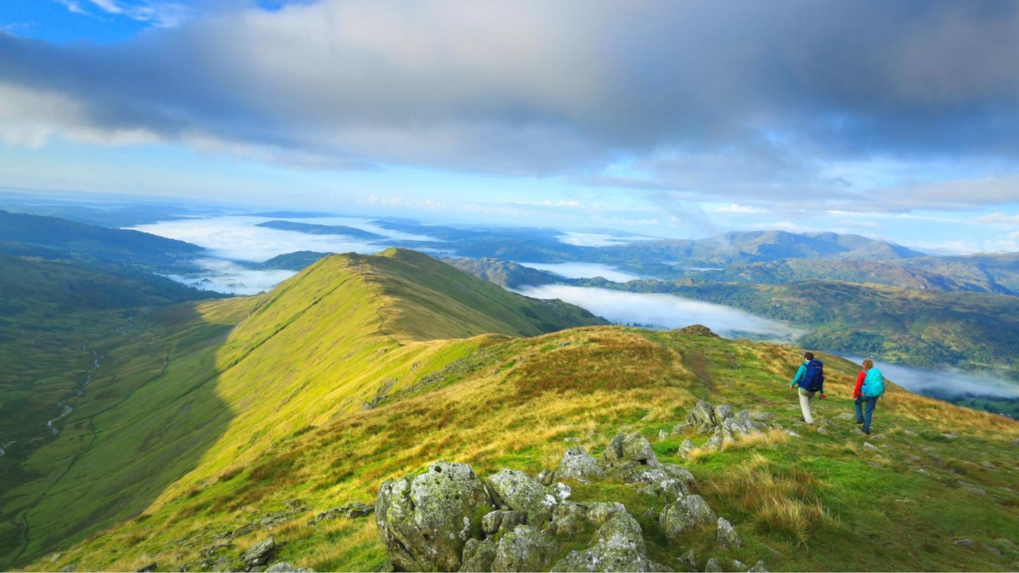
Views are good all around but are best of all once the main ridge is reached. For this reason, and for the trickiness of locating the correct line of descent off Fairfield's summit, it’s best to do this walk in clear conditions. The steepest section of the climb is the south-east ridge of Nab Scar, so saving this for descent means the best way to navigate this horseshoe is to do it anticlockwise.
CLICK HERE to download our Fairfield Horseshoe digital route guide in OS Maps
How hard is walking the Fairfield Horseshoe?
This is a big day in the mountains, but nothing that experienced hillwalkers should be worried about. There are no sections of scrambling or exposed edges to worry about, but you will cover almost 1000 metres of ascent throughout the route so the Fairfield Horseshoe is certainly a challenging walk if you don't hike regularly in the mountains.
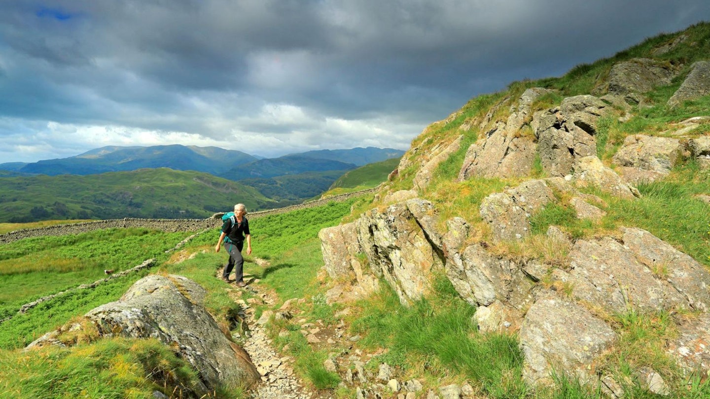
The terrain is a mixture of clear paths, steep hillsides, loose rocks, occasional scree patches, grass, and mud. Make sure you're kitted out in decent walking gear (see suggestions below) and know how to navigate, because the area around Fairfield's summit is particularly featureless and can be confusing in low cloud.
How long does the Fairfield Horseshoe walk take?
Our route covers 16.8 kilometres in total, 996m of ascent, and tags the summits of 8 Wainwrights. We estimate experienced hikers should be able to complete the route described below in around 6 hours, but obviously that depends on weather conditions, your own fitness, and the pace you like to walk at.
Where does the route start from?
One of the best things about walking the Fairfield Horseshoe is that it starts directly from the busy town of Ambleside, which is full of excellent pubs, cafes, and gear shops. Our route below kicks off from the Bridge House at grid reference NY376046.
What's the best map?
This route is covered by OS Explorer OL5 and OL7 (1:25,000), plus OS Landranger 90 (1:50,000). You can order both printed maps from the Ordnance Survey's map shop or download our digital route guide HERE.
Fairfield Horseshoe | Step-by-step route guide
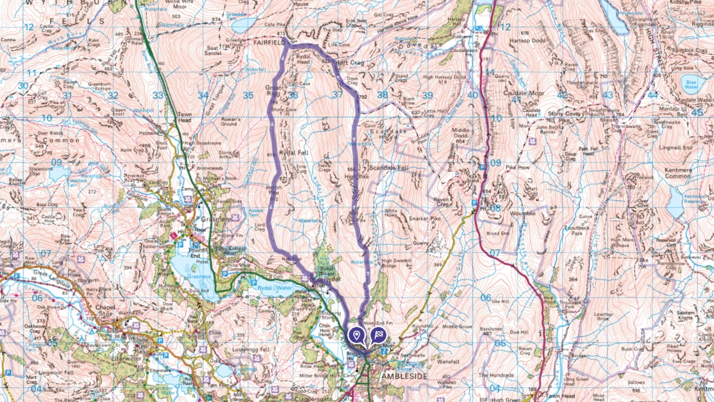
Section 1
With the Bridge House behind you, turn left along the road and almost immediately take the first turn on your right, then immediately left up Nook Lane. Go past the university to Nook End Farm, through the yard following the footpath, curving slightly right to cross Scandale Beck. Keep following the path as it zigzags up the hillside, at first following the river uphill, then over open hillside following the wall up to Low Pike at 508m.
Section 2
Keep climbing in the same direction (north) with the wall on your right as the path steepens and becomes craggier to reach High Pike at 656m. Keep going as the gradient eases and almost flattens out at the top of Dove Crag (792m), with a slight dip and reascent to Hart Crag (822m).
Section 3
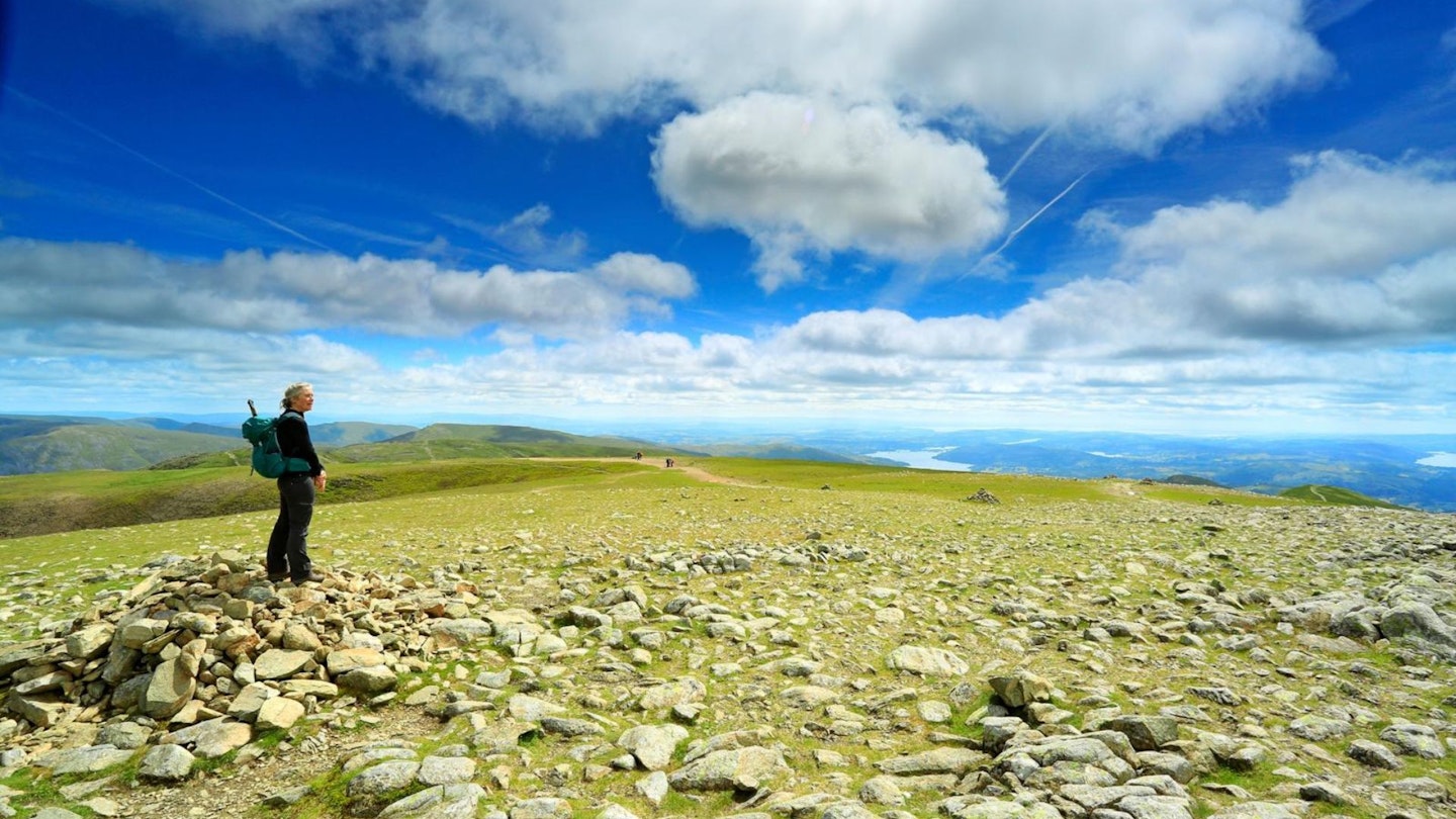
Here, to the left and right are craggy and/or steep drops, so take care in the mist as you navigate north-west along the clear path to Fairfield, rounding Rydal Head and branching right to reach the cairn at Fairfield’s rock-covered summit at 873m, the high point of the day with incredible mountain views in all directions.
Section 4
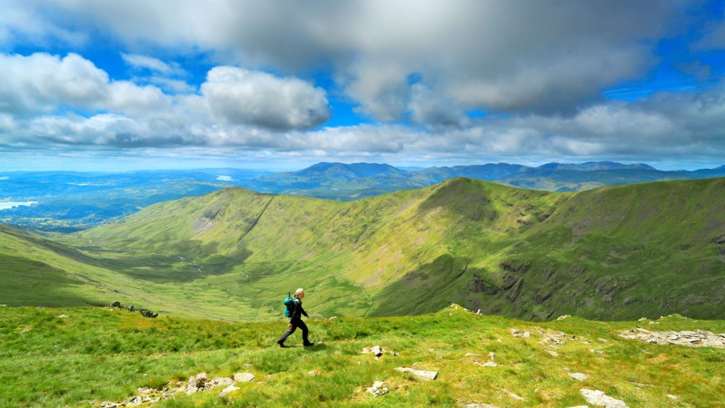
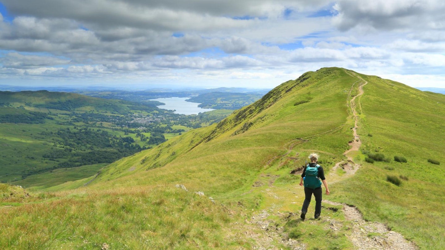
From Fairfield’s summit, regain the path you left by turning south-east, or use one of the smaller linking paths running south off Fairfield’s summit, to meet the well-trodden main path toward Great Rigg. When descending from Great Rigg, be careful to take the left branch at the fork in the path after roughly 200m otherwise you’ll end up in Grasmere (which isn’t a bad thing if you like gingerbread). Descend this slim, rolling ridge southwards to its final high point at Heron Pike.
Section 5
Keep descending, steeper now, on the same clear path running south, then curving south-east over the top of the impressive Nab Scar and into Hart Head Farm. Go through the farm, ignore a bridleway to the right, then take the footpath on the left (if you reach the main road you’ve gone too far), which leads you east through woodland and over Rydal Beck. Continue on this path, then track through woodland and fields to the A591. Turn left and follow the road for almost 1km back to Ambleside.
What walking gear do I need for this route?
Here's a selection of the best walking gear selected by LFTO's testing team: Walking boots | Hiking daypack | Waterproof jacket | Walking trousers | Walking poles | Walking mid-layers | Base layers
Where's the best place to stay in Ambleside?
We'd recommend the excellent hostel at YHA Ambleside, Skelwith Fold Caravan Park for glamping and holiday homes, or Low Wray National Trust campsite. There are also plenty of B&Bs, inns, hostels, cottages, and hotels in Ambleside. Expedia and Booking.com are good places to look for deals.
About the author
Claire Maxted is a former writer for Trail magazine and the former editor of Trail Running magazine. She's written countless route guides and gear reviews for LFTO and is the founder of www.wildgingerrunning.co.uk