Maybe the Munros are getting a bit too busy? Well, Ben Klibreck is miles away in the far north, but without the glamour of being the north-est of all (that’s Ben Hope). It’s a hill that hardly anybody goes up more than once. And when they do, it’s by the quickest possible route, straight up the steep side past Loch nan Uan.
Bag it quick, then hop up the road and bag Ben Hope – that’s the attitude if the Munros are a dreary task to get done as quickly as you can and spend the rest of your life on the sofa. Which means that the longer, better route along the ridgeline is even less busy than the ‘almost nobody about’ that it would have been anyway.
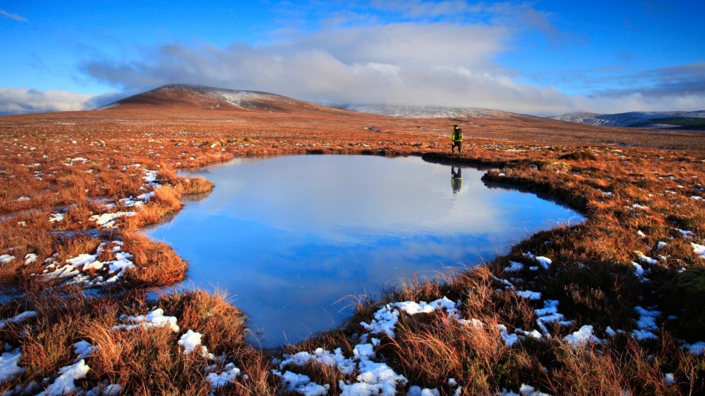
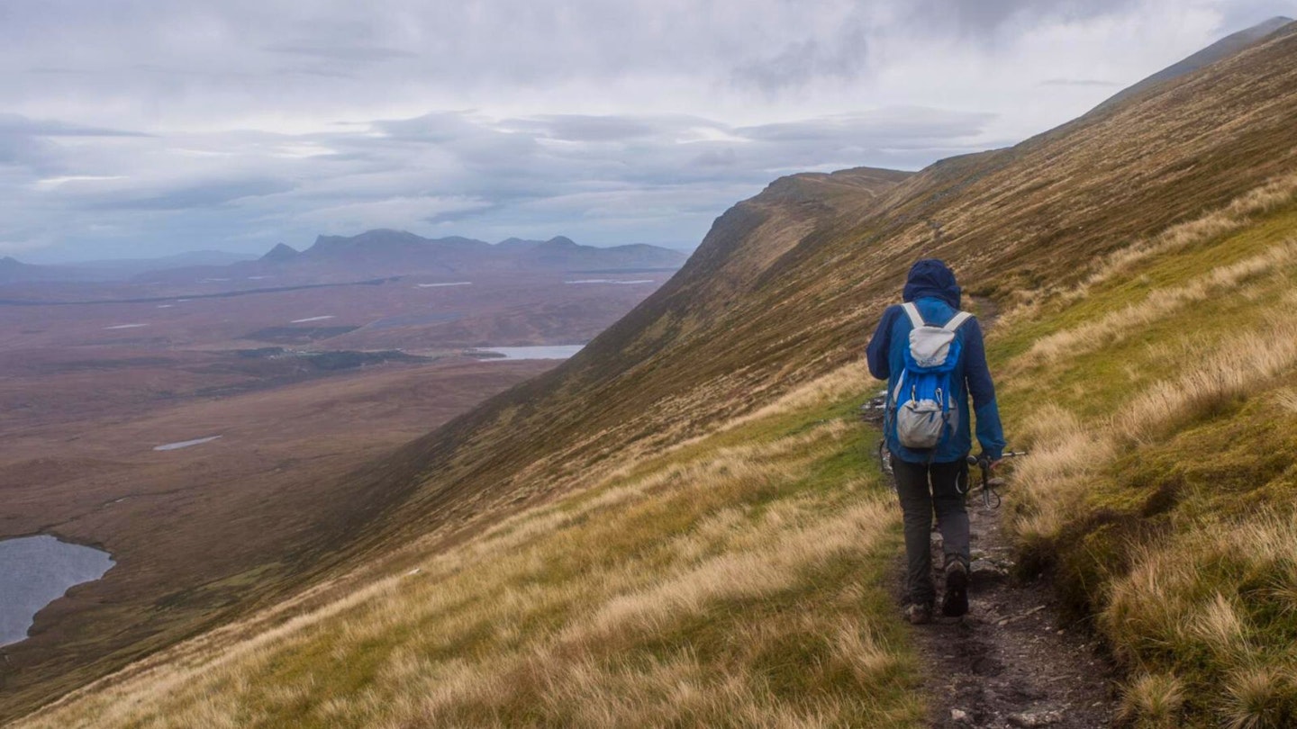
So linger over the preliminary top called Cnoc Sgriodain. Admire the huge empty views over Sutherland, the place that’s so bleak and peaty it’s in line for World Heritage status (even as the Lake District gets booted off the list for featuring too many tourist ziplines). Then enjoy the narrow path high above Loch nan Uan, and the slightly rocky summit.
And after a moderate day out (because you didn’t try to double-bag Ben Hope), there’s time for a relaxing evening in the pub at the bottom of the path.
How hard is climbing Ben Klibreck?
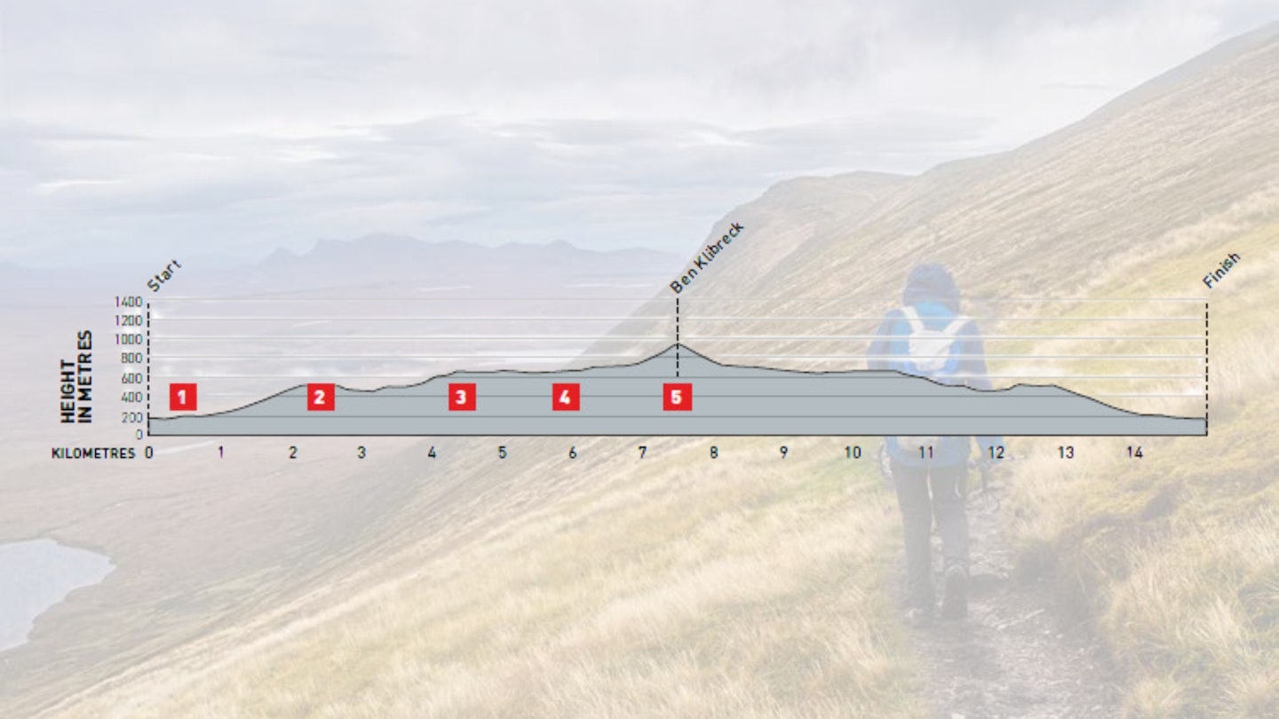
DIFFICULTY: Medium | DISTANCE: 15km | TIME: 6 hours | TOTAL ASCENT: 900m
FITNESS: A fairly short mountain day
TERRAIN: Small, rough paths and pathless hill slopes. No exposure.
NAVIGATION: Paths aren’t always clear but the hill shapes are well defined.
Where is the start of the walk?
It’s a 1.5-hour drive north from Inverness – no public transport options.
What's the best map for Ben Klibreck?
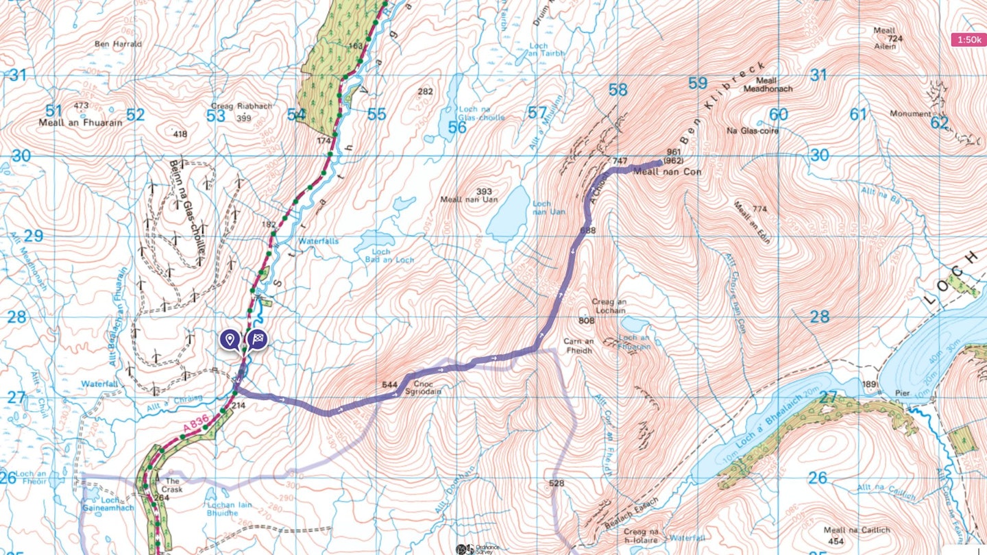
-
CLICK HERE to view and download our digital route guide in OS Maps
-
OS Explorer 443 (1:25k)
-
OS Landranger 16 (1:50k)
Ben Klibreck | Step-by-step route guide

-
There’s verge parking just north of Vagastie Bridge. Start immediately south of the bridge, opposite the track serving a wind farm. A wet, peaty path through the heather leads just south of east onto the slope of Cnoc Sgriodain. As the ground steepens, the going gets drier. Head directly uphill, bending north of east to reach the summit plateau at a cairn. Take note of the cairn, as it’s the guide to the top of the heather path for your return journey. The summit cairn of Cnoc Sgriodain is just beyond.
-
Follow the summit ridge gently down north-east towards a wide, peaty saddle. The best line here is along the right-hand edge of the level ground, above the south-facing slopes and views, and avoiding the peat hags. Head up east to a flat shoulder. Across this, a visible path continues up the steeper slope. The slope eases, then steepens again. At the 680m contour, and below another level shoulder, the path turns left
-
While purists (or those who miss the path turn-off) will continue uphill to cross the minor top Creag an Lochain, this path is no cop-out but a delightful balcony across very steep round, high above Loch nan Uan (the loch of the birds) and with huge views across the wilds of Sutherland towards Ben Loyal, Ben Hope, and less known but temptingly pointy peaks like Ben Hee. It eases up to a col (marked 688m on OS maps) on the main ridgeline.
-
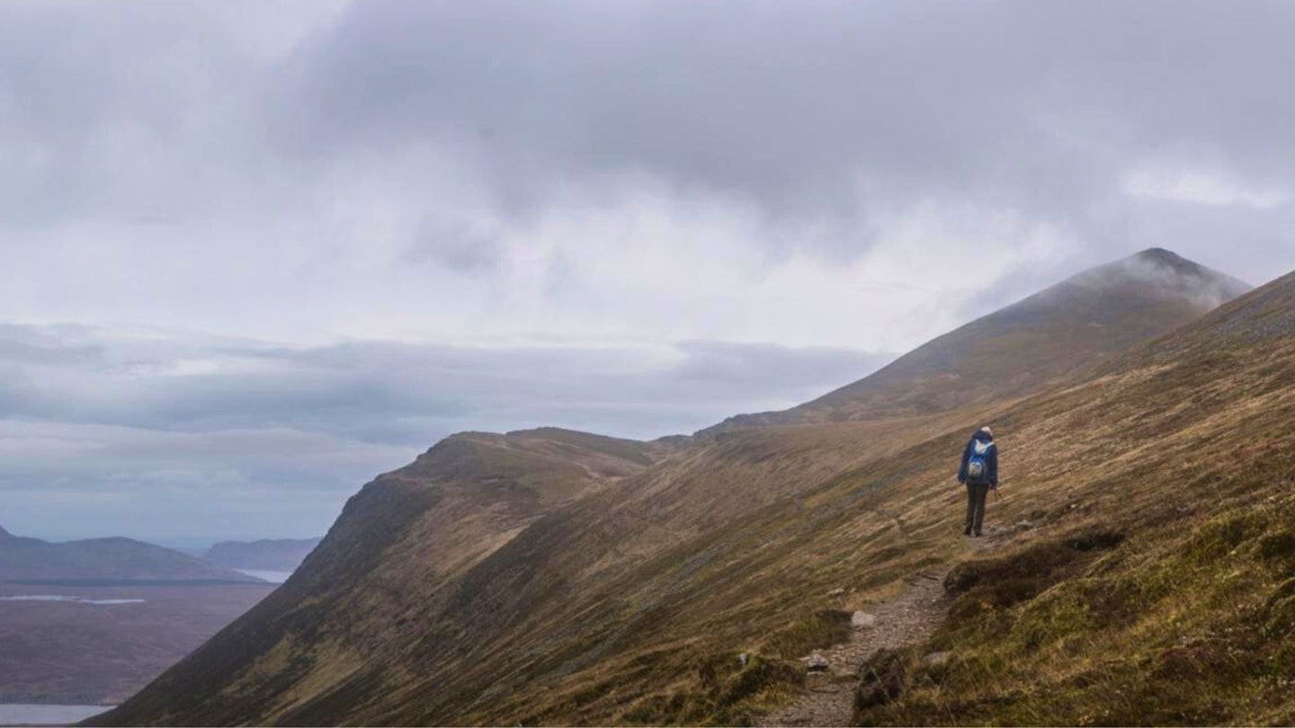
Now the path follows the crest northwards, over the level ridgeline of A’Chioch along the tops of very steep slopes on the left. The path eases round to the right, to cross a poorly defined col, then heads straight up the summit slope of Ben Klibreck. The path is clear and stony, or you can divert over tiny, gently angled schist crags alongside it. The summit trig point, named as Meall nan Con, is the highest point for 30km in all directions; in any direction from west through north round to south-east there is no higher ground before Norway.
-
Return the same way; or you may prefer to bag Creag an Lochain on the way back (involving an extra 120m of ascent). At Cnoc Sgriodain take care, or perhaps a compass bearing, to make sure of finding the top of the heather path down towards Vagastie Bridge.
What walking gear do I need for this route?
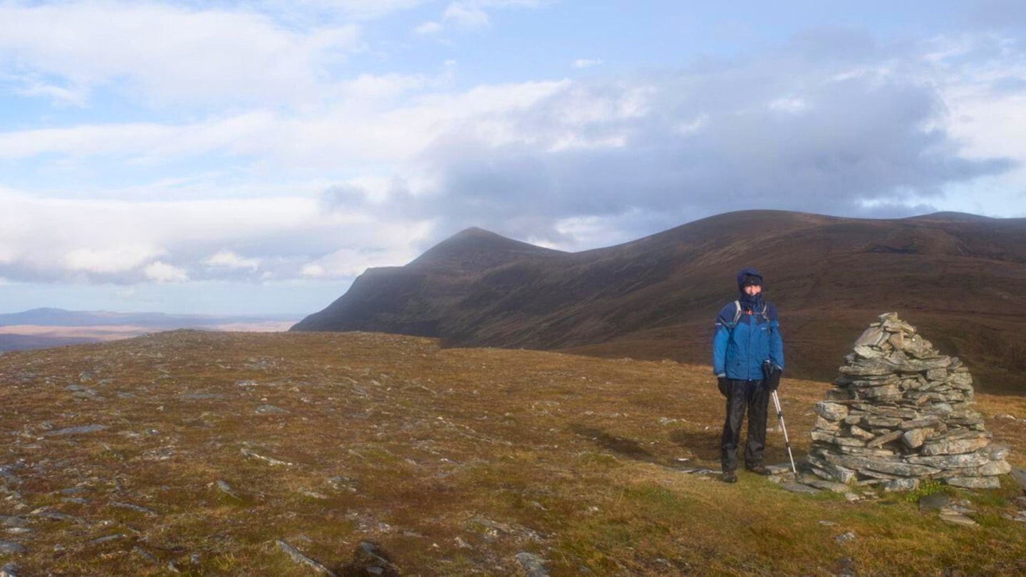
Here's a selection of the best walking gear selected by LFTO's testing team: Walking boots | Hiking daypack | Waterproof jacket | Walking trousers | Walking poles | Walking mid-layers | Base layers
Where can I eat and drink?
The Crask Inn at the foot of Ben Klibreck offers Orkney ales and, unusually, doubles as the local church. Bar snacks, booking required if you want the full-on evening meal, or Altnaharra Hotel 9km north.
Where's the best place to stay?
Check out The Crask Inn – booking essential during winter, and also with camping if you’re tough enough. Also try the Altnaharra Hotel.
About the author

Ronald Turnbill has written for a Trail magazine since its very first issue back in 1990, and his work has appeared in countless magazines and outdoor websites over the past 40 years.
This route originally appeared in the February 2024 issue of Trail magazine. CLICK HERE to become a Trail magazine subscriber and get 50% off a whole year of digital OS Maps
