
One third of the Yorkshire Three Peaks challenge, Ingleborough is the county’s second-highest mountain but arguably number one in its affections. Enthusiastic locals have been known to label it the finest mountain in the world.
That is an exaggeration, but this linear route – an ascent from Ingleton, a descent via Gaping Gill and Trow Gill gorge to Clapham, and a pleasant bus ride back to Ingleton on the Craven Connection 581 service – is certainly one of the Yorkshire Dales’ most rewarding walks.
What is the highlight of this classic Dales outing? Some would say it’s the sense of achievement you get on reaching Ingleborough’s 724m trig pillar – the perfect place to stop, soak it all in, and enjoy the views across Whernside, Pen-y-ghent, Pendle Hill, Morecambe Bay and the distant Lake District fells.
Others think it’s the descent of Trow Gill, a spectacular wooded limestone ravine. But we’d suggest it’s the other-worldly experience of peering (from a safe distance) down Gaping Gill, a mind-bogglingly deep pothole plunging almost 100m into an underground chamber on the southern slopes of Ingleborough.
Is Ingleborough a hill or mountain?
There's no official designation of a mountain, but one common theory is that if a peak reaches more than 600m in altitude, then it qualifies as one. Ingleborough more than meets that mark at 724m.
There's also another school of thought in the 'mountain v hill' debate, which is that if a peak has the characteristics of a mountain in terms of shape and terrain, irrespective of its height, then it also qualifies as a mountain. So in both cases, Ingleborough more than qualifies – so we're saying mountain!
Is Ingleborough a hard walk?
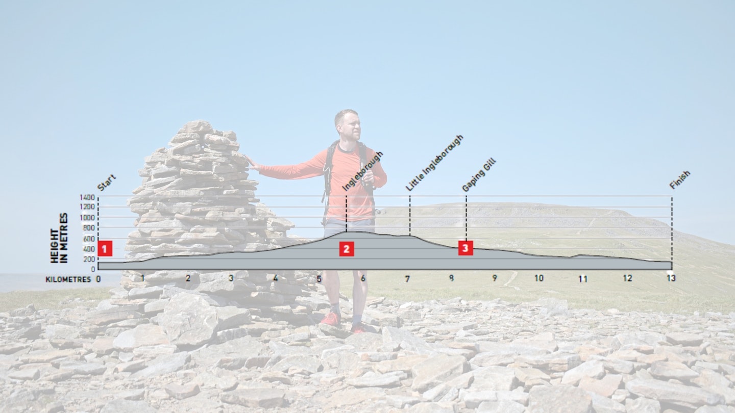
DIFFICULTY: Medium | DISTANCE: 13km | TIME: 5 hours | TOTAL ASCENT: 662m
FITNESS: Good hill fitness is required, but the distance and ascent are far from daunting for most competent hillwalkers.
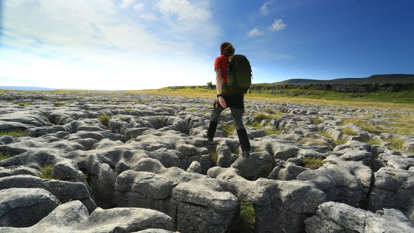
TERRAIN: Mostly good fell paths, plus short sections of road walking. Some steep sections, including steps and rocky ground.
NAVIGATION: Good paths and obvious hill lines, but good nav skills will be useful, particularly in poor weather conditions.
Where is the start of the walk?
Take a train to Lancaster railway station and then Stagecoach’s number 80 Lancaster-Kirkby Lonsdale bus, alighting at Ingleton.
What's the best map for Ingleborough?
-
CLICK HERE to view and download our digital route guide in OS Maps
Ingleborough | Step-by-step route guide
-
Starting from the pay & display car park at Ingleton Community Centre (LA6 3HG), head west down the driveway and turn right on the road. Go under a bridge, fork right and head north-east through the town. Follow the road as it swings south-east and turn left at a junction. Head east on High Street and fork left on Hawes Road.
-
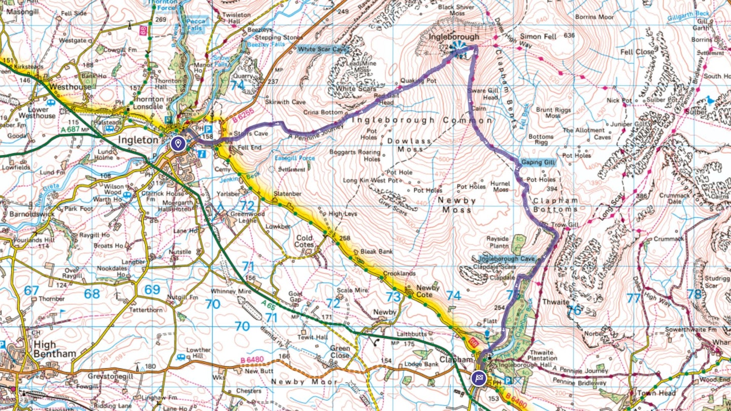
Turn right onto a stony track signposted Ingleborough. Follow the walled track east and north-east to pick up the Fell Lane track. Continue east and go through a gate, entering open fellside. Head north-east on a wide track and fork right to avoid the farmyard at Crina Bottom.
-
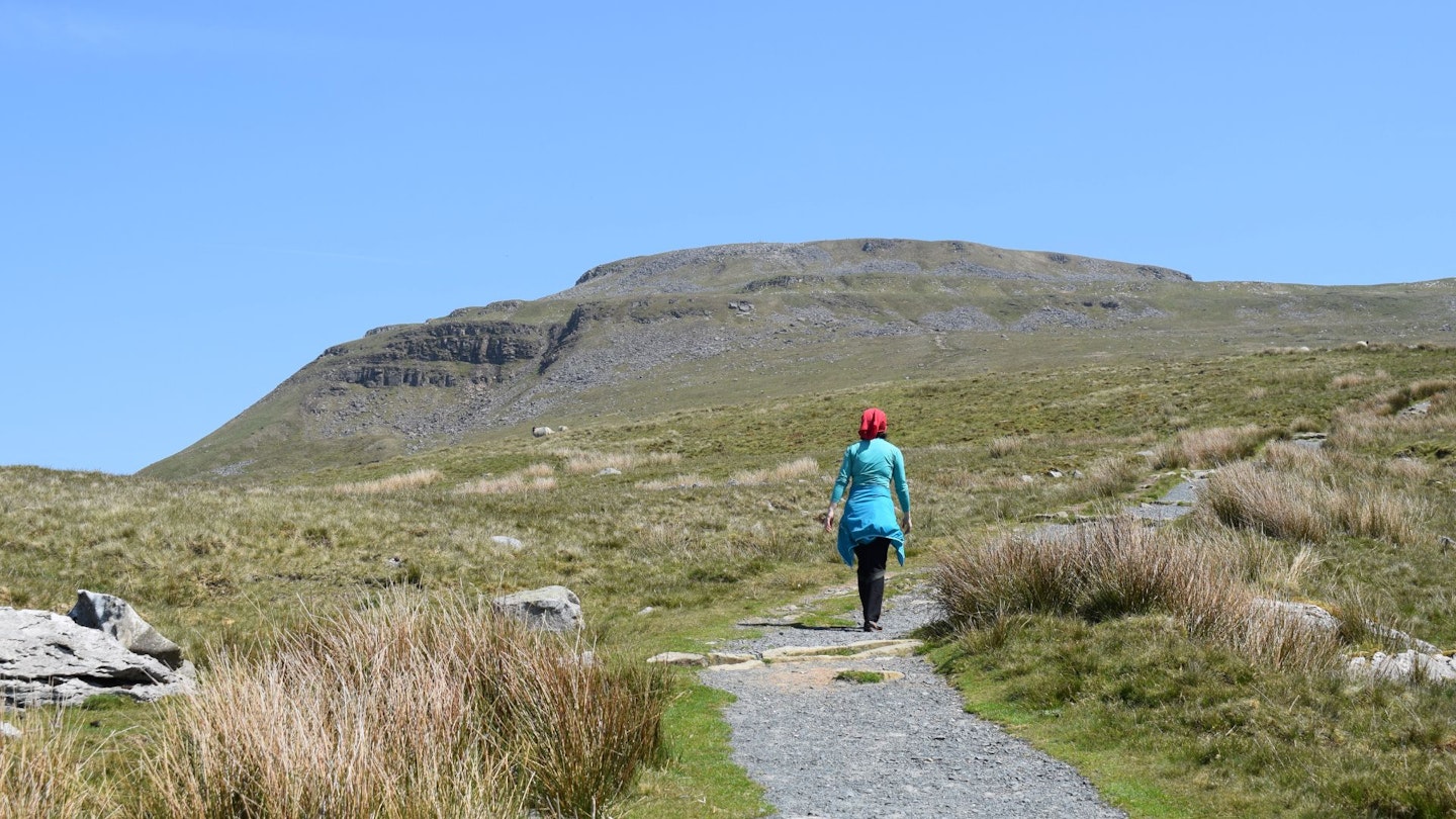
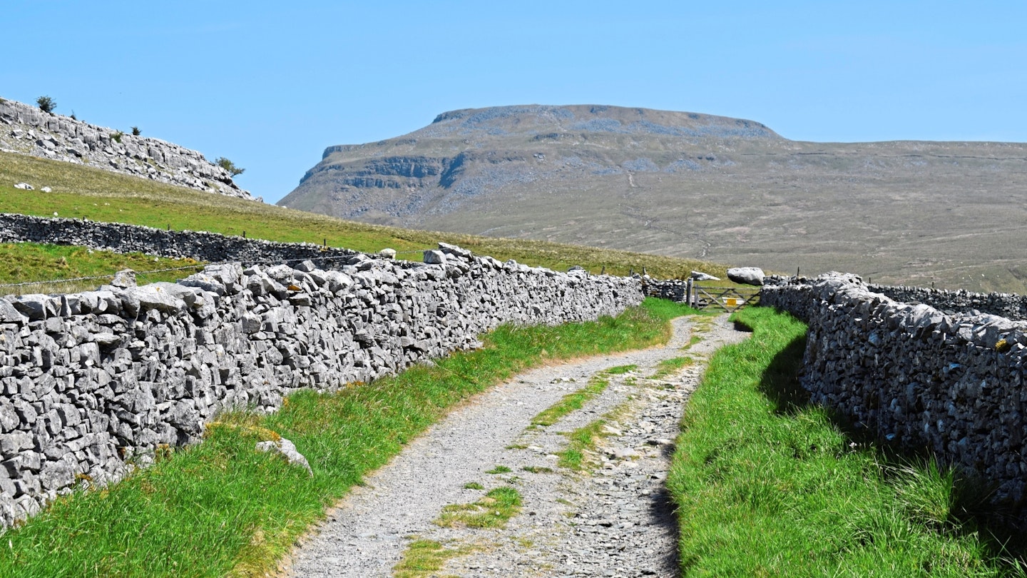
Pass to the right of the walls next to the property and climb north-east on a well-trodden path next to a stream. Continue on the obvious path, climbing ever north-east. As you near the summit, the ground gets steeper, rockier and rougher until you emerge at the summit’s trig pillar.
-
Descend north-east over rocky ground to a large cairn. Turn sharp right and head south following a line of raised rocky ground. Reach another cairn and pick up a well-trodden path descending due south.
-
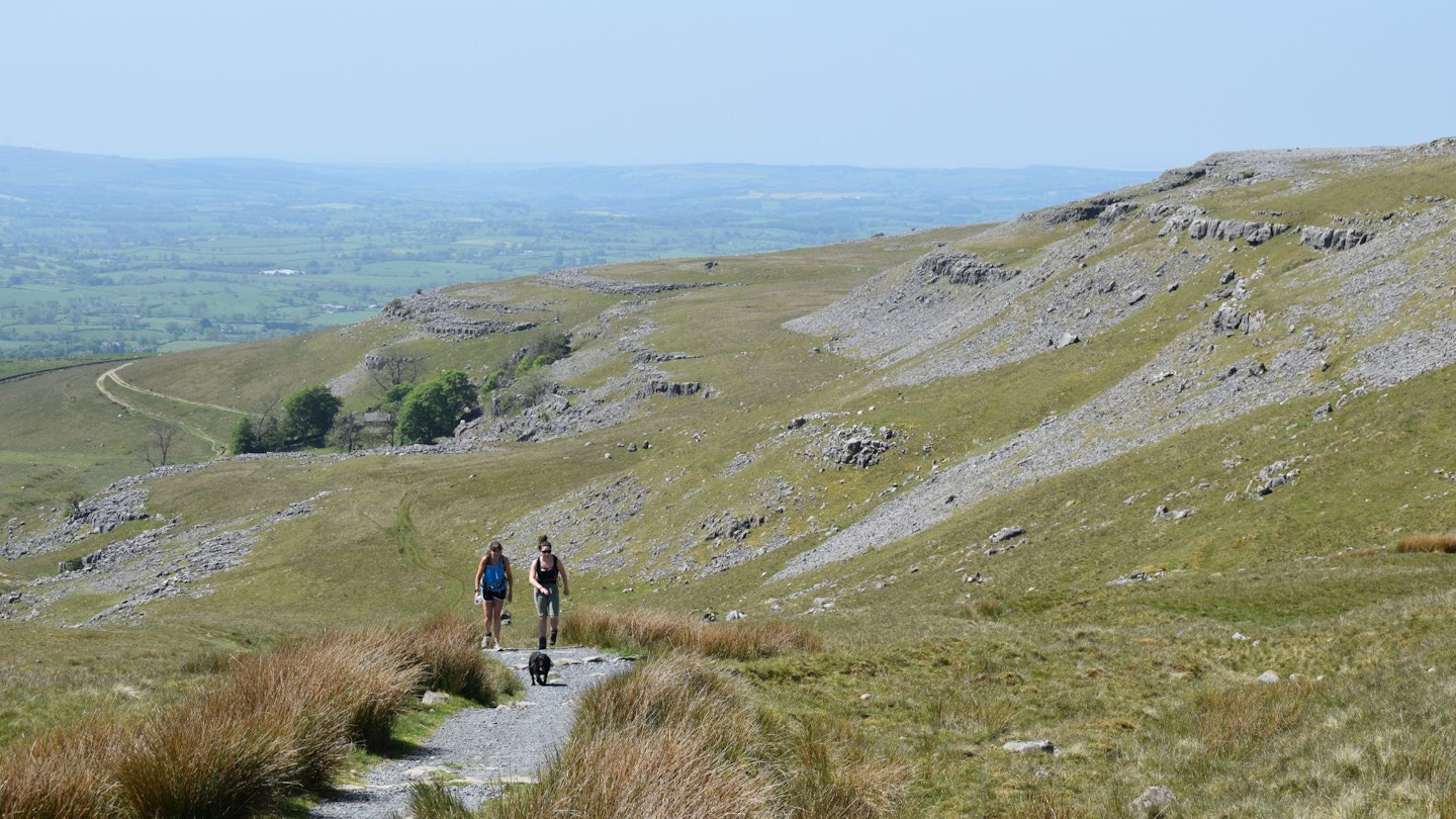
After an initial descent of the south ridge, the ground flattens, drops again briefly to a col and climbs easily just to the left of Little Ingleborough‘s summit. Continue south and fork left at a junction.
-
Descend south on a steep, stone-pitched path. Continue as the stone pitching gives way to stepped flagstones before veering left over flatter terrain towards Gaping Gill. Fork left to visit the cave.
-
Pick up the A Pennine Journey path again and head south. As the path veers left, pass some outcrops, go through a small swing gate over a wall and turn right to head south down a little valley. Veer south-east and enter Trow Gill gorge.
-
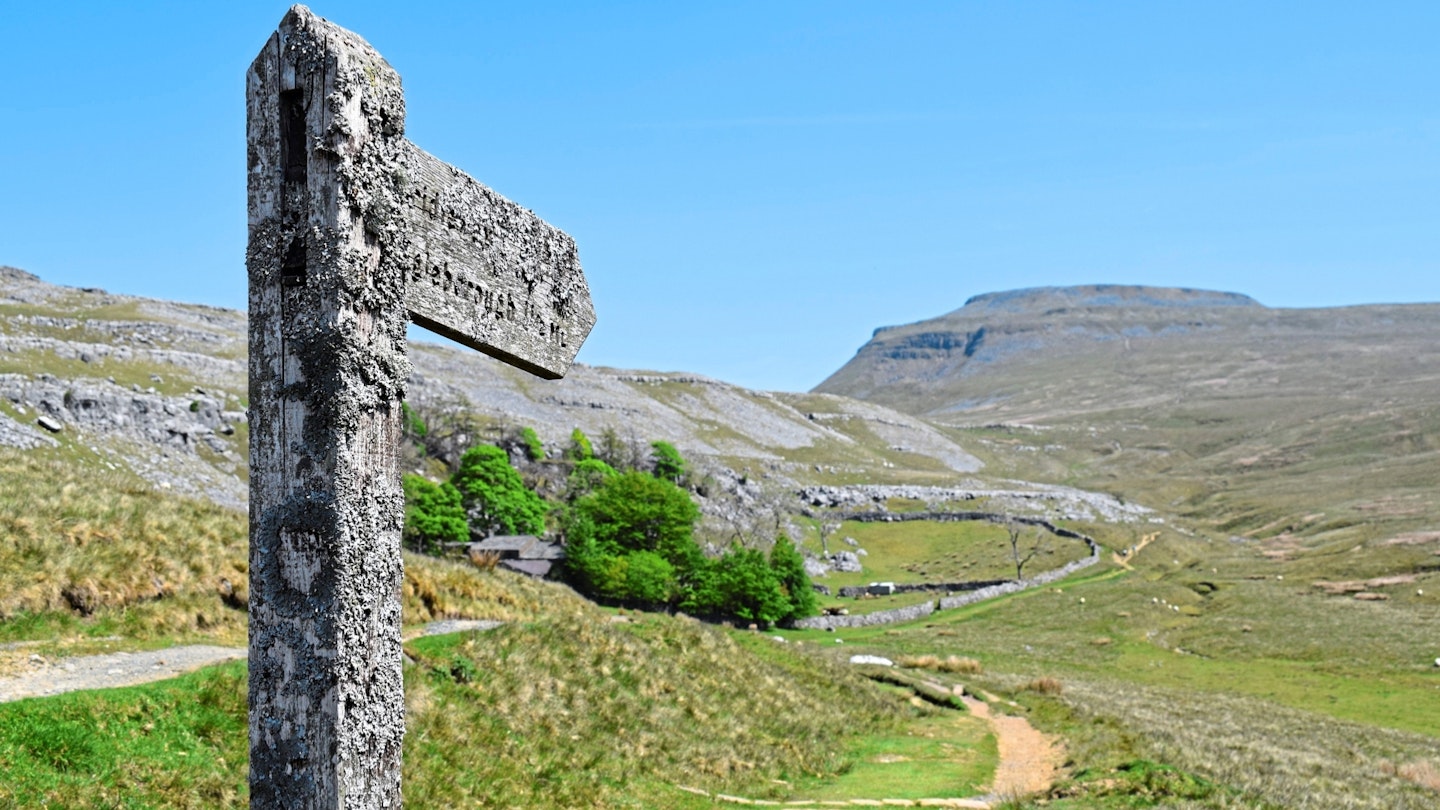
Exit the gorge, go through a gate and follow the path as it bears right. Head south-south-west towards Beck Head spring. Go through a gate, cross a bridge and pass to the left of the building at Ingleborough Cave. Pick up a wide, stony track heading south-southwest. Turn right through a gate and climb west before looping south through the farmyard at Clapdale.
-
Take the 4x4 track south and follow as it becomes a road all the way into the village. At a crossroads, head straight and merge with the main road. Immediately after the village hall, turn left down an alleyway and turn right along the riverside road. Turn right again and arrive at the bus stop opposite the village shop.
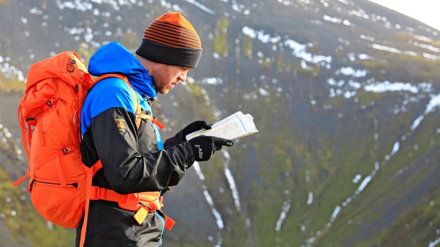
What walking gear do I need for this route?
Ingleborough is a good-sized peak and the Yorkshire Dales can experience some fairly wild weather, so we'd recommend investing in very good and robust kit. Walking boots are an obvious essential, as is a good hiking daypack, a reliable waterproof jacket, an insulating layer, and a pair of quick-drying walking trousers with some packable waterproof overtrousers in your bag.
Where can I eat and drink?
Cafés in Ingleton include Village Kitchen, Sweet Petite and Inglesport Café. Good pubs include Masons Freehouse, La Tavernetta and The OPO Bar.
Where's the best place to stay?
Hotels, B&Bs and campsites are plentiful in the surrounding areas, including YHA Ingleton, Meadow Falls campsite and the Wheatsheaf Hotel. Check Booking.com for good accommodation deals in the Yorkshire Dales.
About the author
James Forrest writes regular features and route guides for Trail and LFTO, and has been one of our main gear testers for the last few years. James is based on the edge of the Lake District so when he isn’t off on his latest crazy adventure or challenge, he’s walking in his local fells.
This route originally appeared in the December 2024 issue of Trail magazine. CLICK HERE to become a Trail magazine subscriber and get 50% off a whole year of digital OS Maps