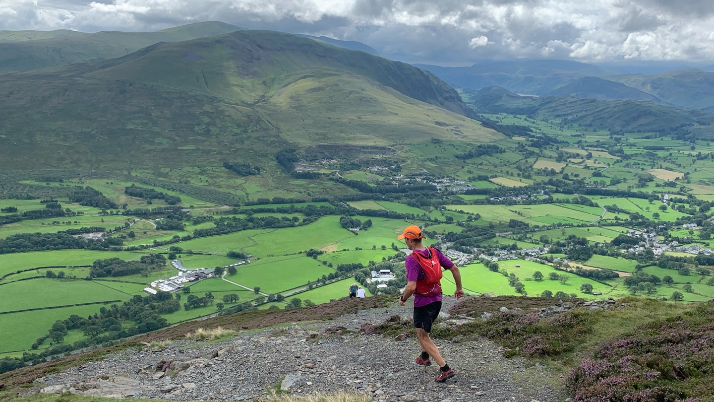
Sure, you can stick to your same local route, but isn't exploring new areas a bit more fun? Getting better at navigating on the trail is one of the best ways to diversify your runs. And we all know that if you want to Run 1000 Miles in 2024, you'd better switch it up from time to time.
Running and navigating at the same time have been getting easier with advances in tech. Gone are the days of just having to rely on a map and compass, which can be time consuming and requires a higher skill level.
For sure, a map and compass are your fail-safe companions, but when speed and ease are your desire then what are your options? Here, mountain leader, expert trail runner, and Run the Wild founder, Simon James takes you on an essentials tour of how to navigate on trails in speedy and efficient ways.
The challenges
We all know that running a familiar route requires little-to-no navigational skills. However, some factors consistently make navigating more challenging and it’s important to know what they are to either avoid them or ensure we have much more robust plans and the correct skill set to deal with them.
Weather which reduces visibility, night-time, forests, moorland or featureless areas and technical ground. Anything that reduces your ability to relate the ground to the map or impairs your ability to check regularly your location increase the chances of you going off route. Plus, anything that impairs your ability to concentrate will make navigating more difficult, so stay on top of your hydration and nutrition!
Planning
You’ve uploaded a GPX file to your map app or perhaps to your running smartwatch. Are you ready? No! You need to take a good look at the context of that route.
What kind of terrain will you be running through? Where is technical? Steep? Exposed? Difficult to navigate? Where are your escape routes and nearest roads? You’ll never get away from the need for being able to read a map as it gives you so much contextual information about your route and helps you create backup plans.

We like to do a satellite fly through of our routes so to easily visualise what we expect to see. Focus on areas that are complicated and identify features that will catch you if you go the wrong way. The more time you spend planning, the less likely there will be any surprises and the less time you will need to spend checking yourself during the run.
Always let someone know your intended route and always be prepared to adapt your plan!
Apps and smart watches
Constantly improving, these devices will help verify that you are still on course. And they're much faster than having to whip out a map and compass at each juncture. It’s great to see how they are empowering people to have an adventure. But know their limitations, like battery life, poor GPS signals in steep sided areas and woodland as well as accuracy, either in the device or the GPX file. Smartphones are a nightmare to use in the rain and cold too!
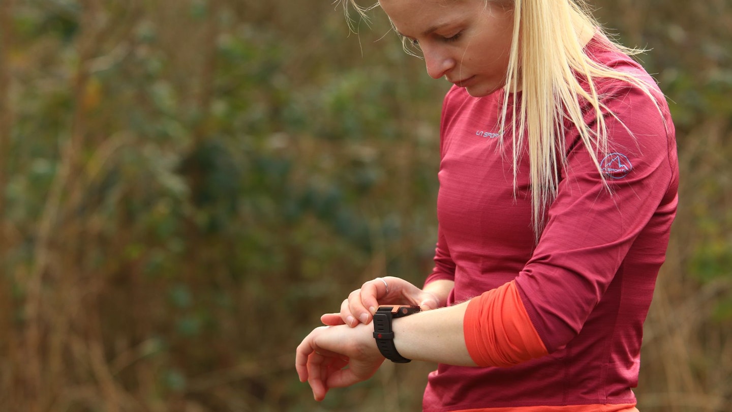
However, for pinpointing where you are and running with the moving map in front of you, as any driver using a sat nav knows, it’s easy and quick. Stick it in the mode so it’s orientated to your direction of travel and off you go. GPS devices have been around for a long time, but it’s only now that we meet people in the outdoors that will use these devices in preference to a map.
Know how to use your tech and know its limitations. We often see in races other runners following each other, be confident in your own skills and don’t follow other just because they say they know the way. Confidence does not equal competence!
Smartwatches are great for running a clear route (we recently tested the Polar Grit X Pro and haven't looked back) but they can be challenging if you don’t have a map in the background or your route features lots of footpath junctions. However, combining a decent map app with a watch is one of the quickest ways to run an unfamiliar path without a hitch.
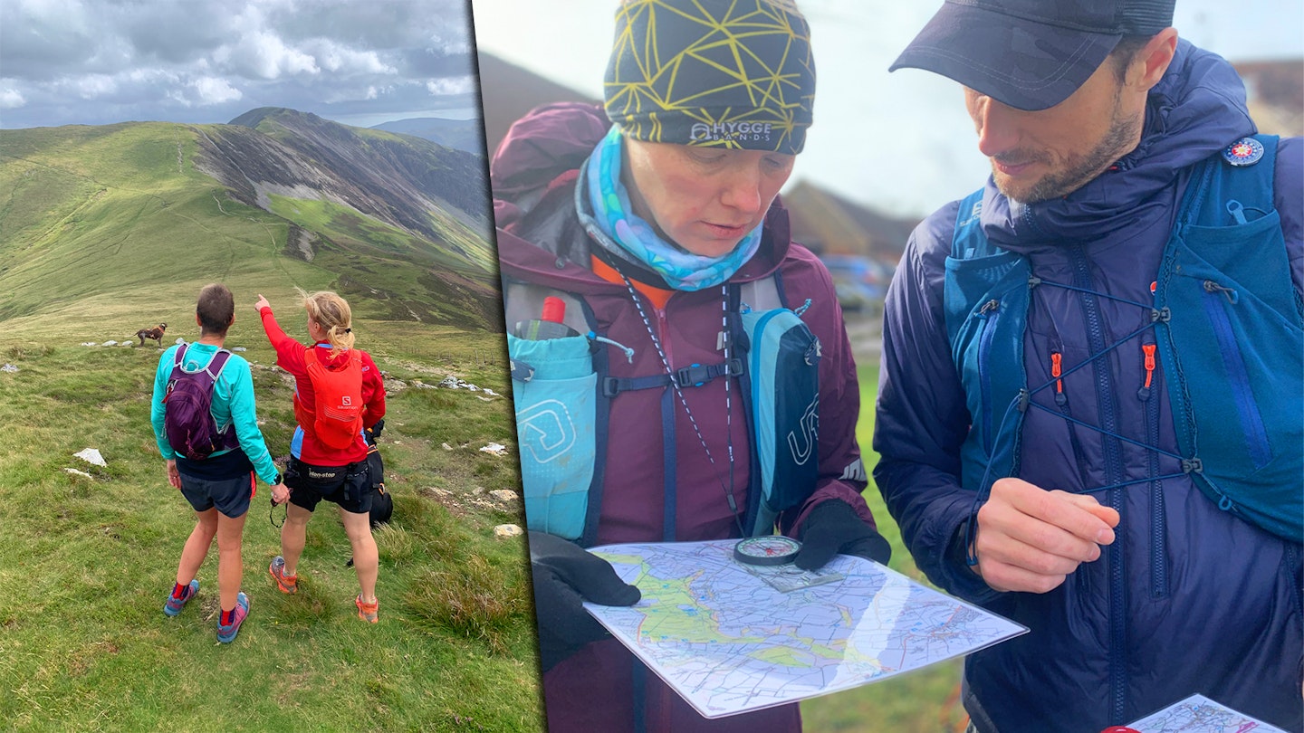
Map and compass
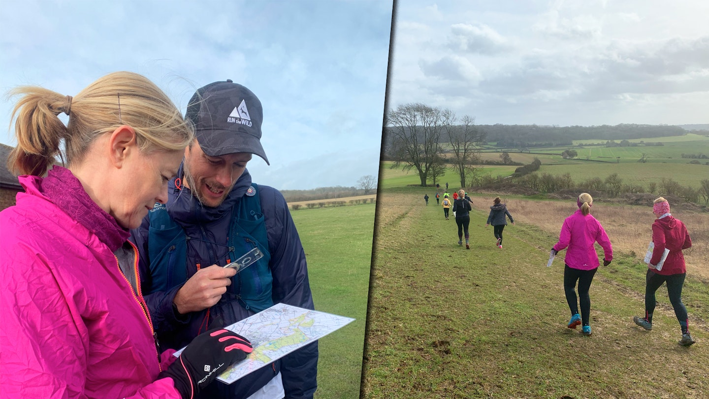
Oh no not them again! They are impossible to dismiss as they don’t require any batteries and work everywhere! But they do require skills and time to use. Whether we take a map and compass depends on how familiar we are with the area, the consequences of going the wrong way, and the remoteness of the location.
If I’m in any doubt, I’ll take them (they’re light).
– Simon James
We cannot recommend highly enough on doing a navigation course, like those hosted at Run the Wild so at the very least you can orientate your map. Plus, your app will also follow many map-based principles which will help you use your tech more effectively.
Read the ground
When Simon teaches navigation, for the most part it’s about teaching observation skills. How to judge distances, how to identify features, how to visualise what you are seeing in front of you into the format of a map. You need to be completely focussed to navigate accurately, what can you see, hear and even smell?
As a navigator in the outdoors, you are a detective and you are constantly looking to verify or correct your location. It can be tiring and stressful, all of which takes training. Navigation is like a language, you should be able to look at the landscape and visualise how that would look on a map and vice versa, how a map would look in reality. Visualise your intended route before you even run it, the more you do this, the less times you will need to check yourself when running.
Break your route down
Simon's final tip is to break your route down into legs. This is something you can do in the planning phase. It may even help to write down some descriptions of each leg. Some will be more straight forward than others.
Work out directions, distances and how long each leg will take to run based on your expected pace for the weather and terrain. Are there any key landmarks or catch features that will help steer you on the right way? Then when you are out running the route, check back to see whether you are within the parameters of your calculations. If you expected a section to take 5 minutes and it’s taken 30 minutes, then something is wrong!
The good news is the more you explore, the more your skills and navigational sense will improve. It’s worth learning about your tech and spending some time learning how to map read. That way you’ll be able to have some great running adventures whilst staying safe.
Meet the expert
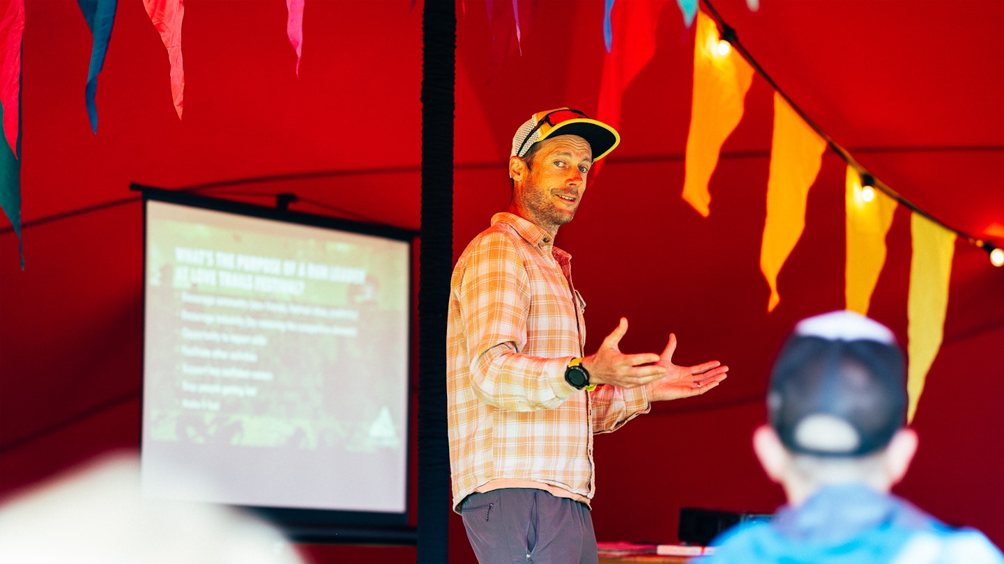
Long-time LFTO contributor and mountain leader Simon James is your expert for today's top tips. Simon is also the founder of Run the Wild, who run events from local 10Ks all the way up to weekend trail running experiences in the alps. Definitely check them out if you're looking for your next trial running adventure.