
Join us to explore four of the Peak District's finest gritstone escarpments – Curbar, Froggatt, Baslow and White Edges – with our step-by-step guide to the National Park's popular Four Edges walk.
The Peak District was the first of the UK’s National Parks, designated in 1951 following a Mass Trespass on Kinder Scout by locals claiming their right to access open moorland. Thanks to these early campaigners it’s now one of the most popular places for outdoor recreation in England.
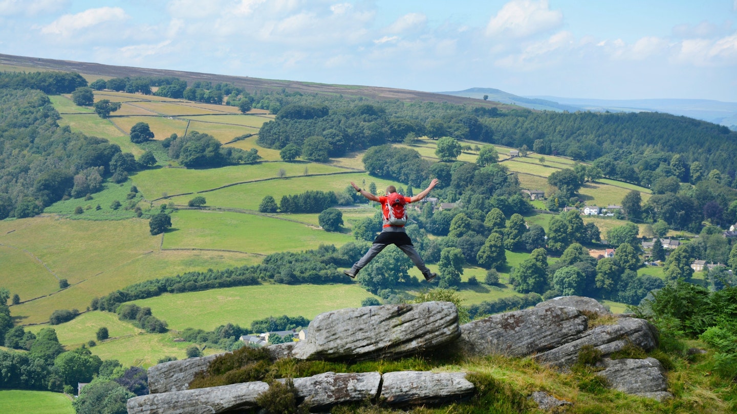
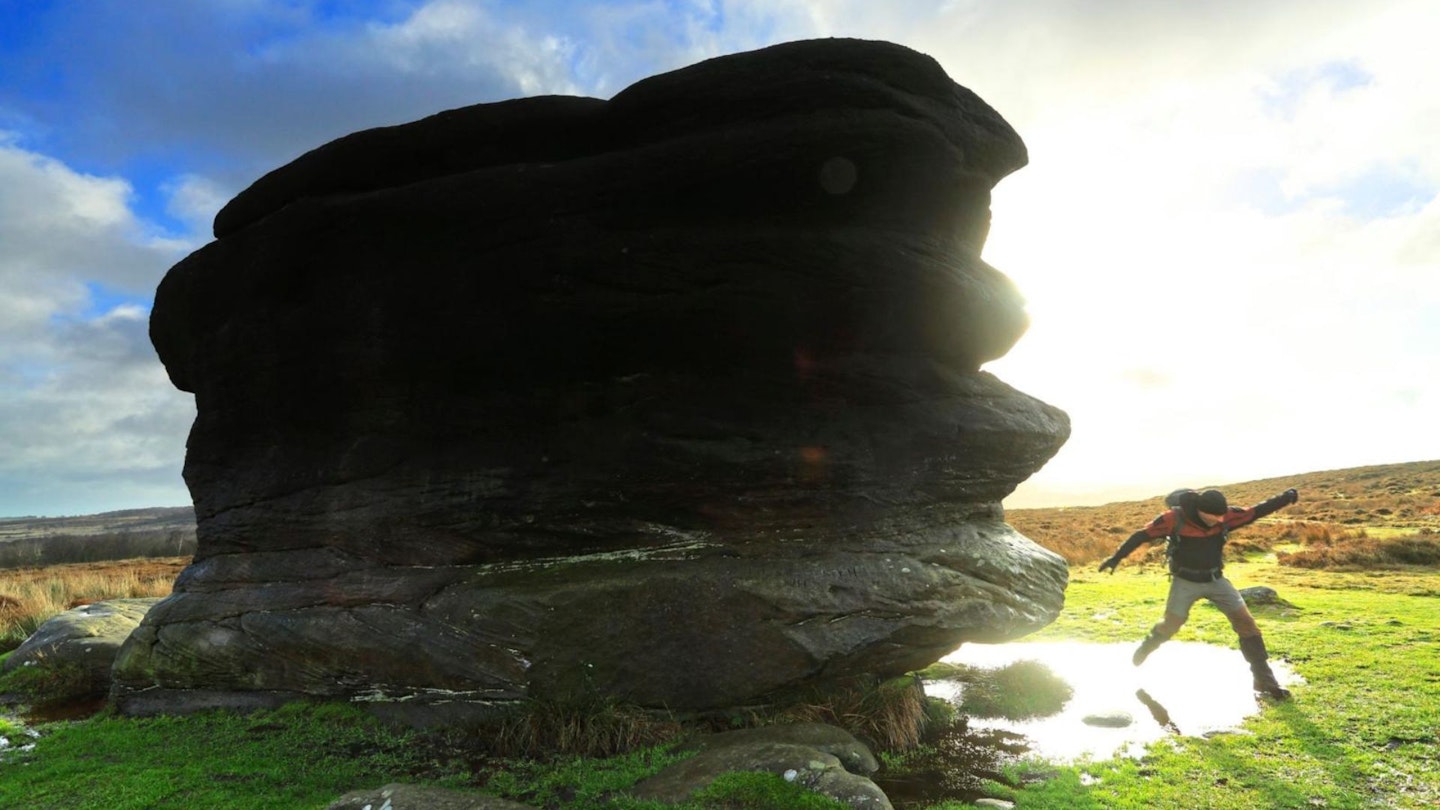
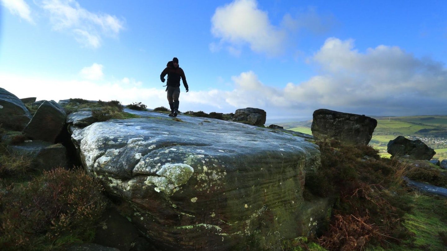
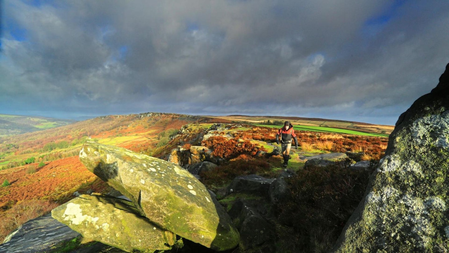
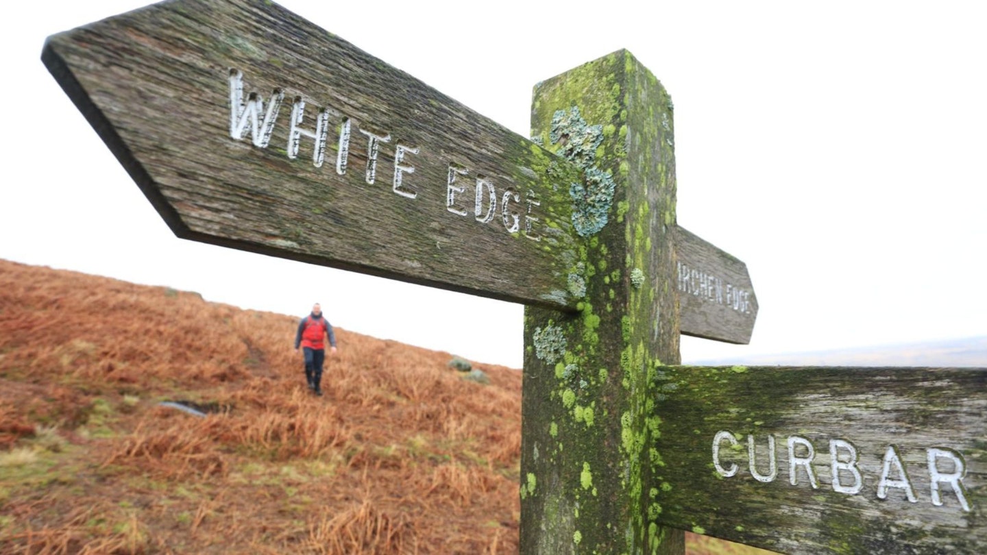
This walk spends much of its time on high ground, taking in the tops of some of the park’s finest gritstone edges on clear trails that wind across the windswept moor.
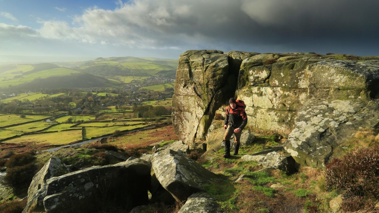
This is rock-climbing country, and climbers flock from all over the country to pit themselves against the grit. Froggatt alone has nearly 500 graded routes, and nearby Curbar is home to the classic HVS ‘The Peapod’ – a crack wide enough to wedge an entire climber, and therefore an excellent spot for viewing.
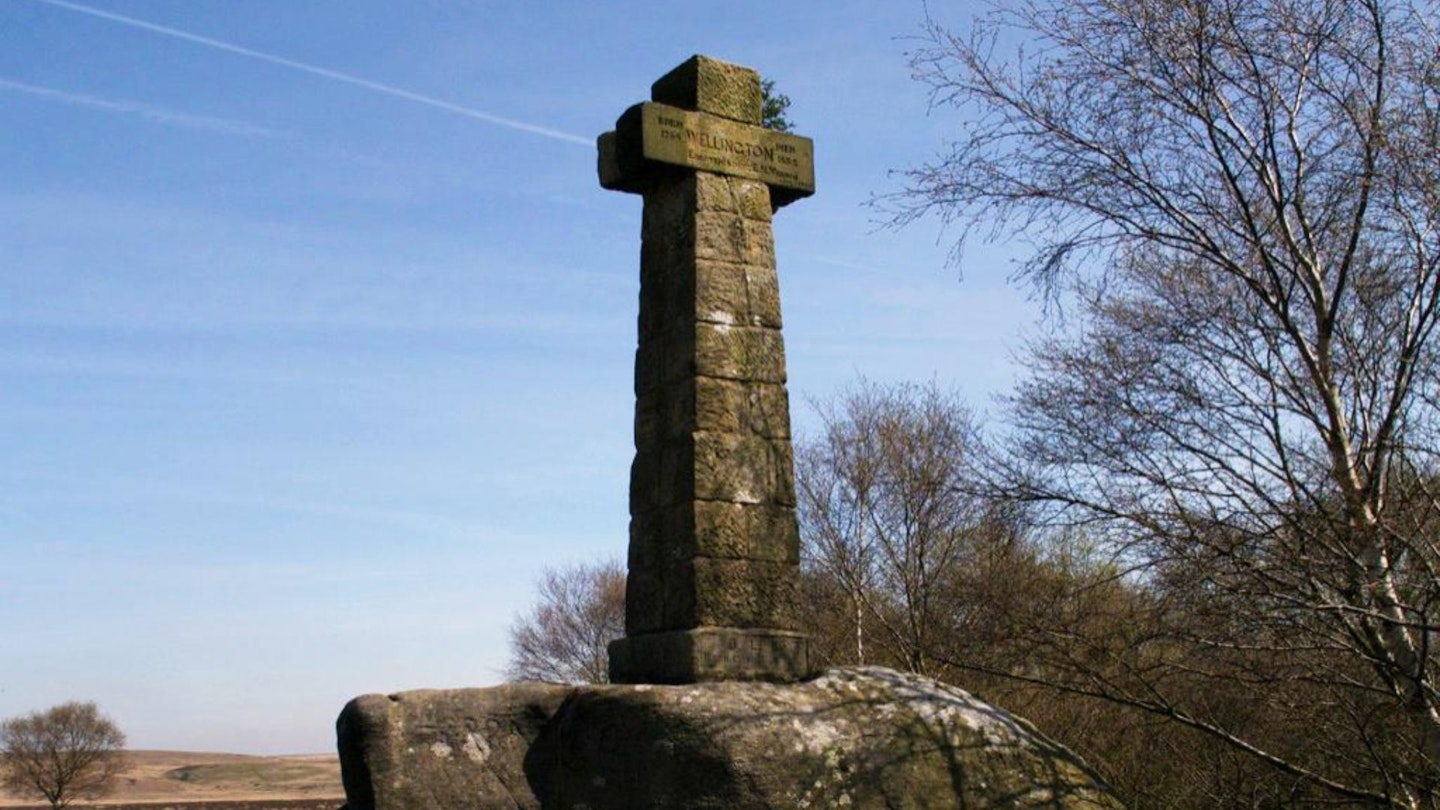
Traversing the good paths along the top brings you to Baslow Edge and the Wellington Monument, a 10-foot high cross that stands proudly on the hillside to commemorate the Duke of Wellington’s victory at the Battle of Waterloo in 1815.
It was erected by a local resident and army man, Dr Wrench, in 1866 to celebrate a visit by the Duke, or perhaps to counterbalance Admiral Nelson’s memorial on nearby Birchen Edge.
The final section of the walk takes you through the peaceful Longshaw Estate, a 750 acre stretch of exciting and varied landscape, with woodland, open moor and the Burbage Brook, which tumbles through pretty Padley Gorge. The café’s good too – a perfect place to refuel and admire the view.
How hard is the Four Edges walk?
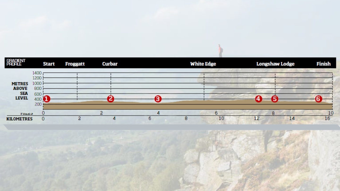
DIFFICULTY: Medium | DISTANCE: 16.1km | TIME: 4.5 hours | TOTAL ASCENT: 305m
FITNESS: A decent workout at over 16km but no problems here for regular walkers.
TERRAIN: Good paths throughout.
NAVIGATION: Good paths and signposts to follow but care is certainly needed near the edges in low visibility.
Where is the start of the walk?
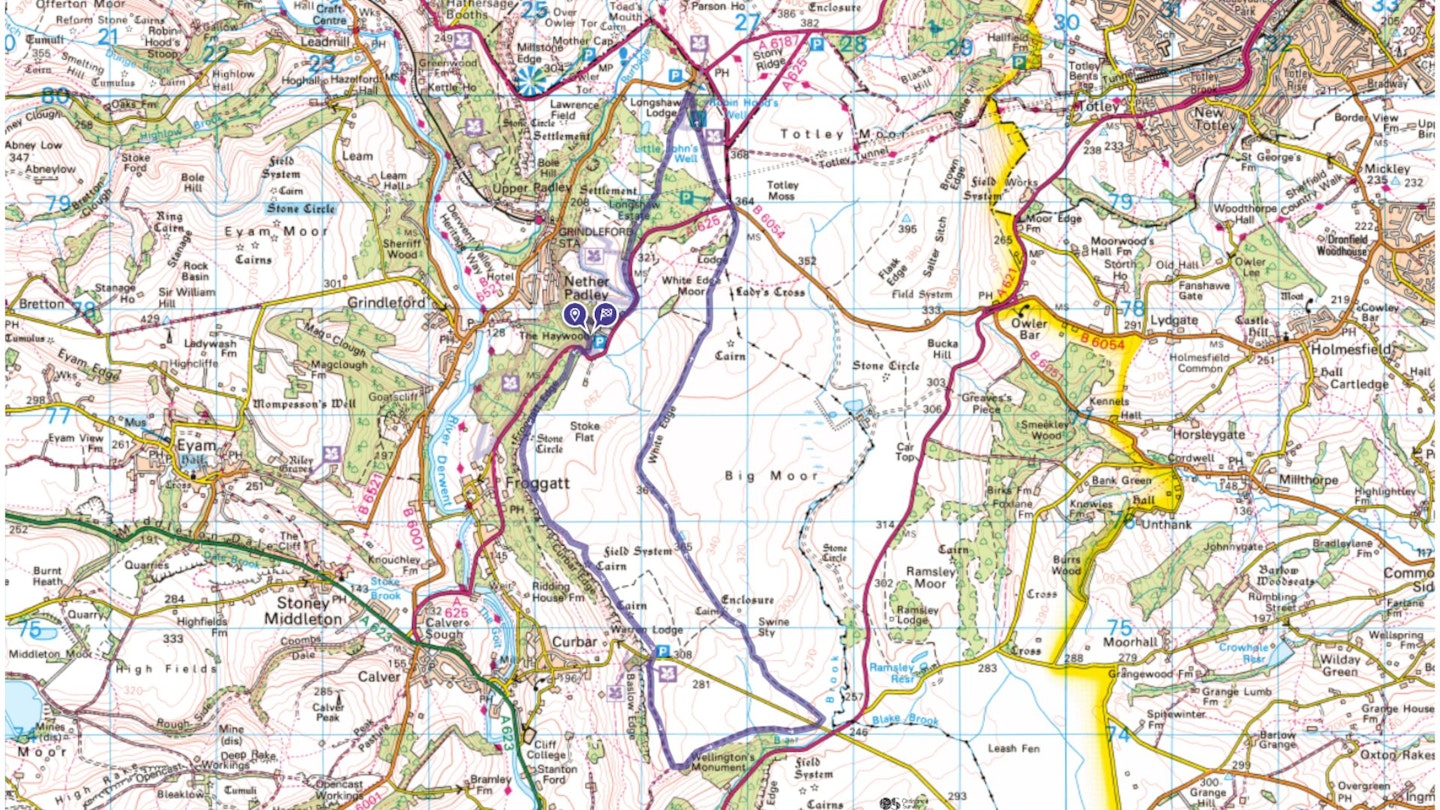
The best place to start is Haywood National Trust car park near Nether Padley.
What's the best map for Curbar & Froggatt Edges?
-
CLICK HERE to view and download our digital route guide in OS Maps
Curbar & Froggatt | Step-by-step route guide
-
From the car park head south along the obvious path to cross a small stream. Climbing a short series of steps to reach and cross the A625 (caution; busy). Turn right along the edge of the road and then take the first left onto the main path heading south-west.
-
The path winds through some pretty woodland before opening out dramatically above Froggatt Edge. Fine views across the surrounding National Park accompany you as the path curves to the south-east and continues above Curbar Edge.
-
Cross the road and continue south through the gate and along the path above Baslow Edge. At the path junction turn left, heading north-east past the Wellington Monument until you reach the road.
-
Cross the road and follow the path north-west towards the trig point on Big Moor. The glorious, high-level walking continues along White Edge until you reach the road junction of the B6054 and the A625.
-
Cross the A625 at the junction and head north-west into the National Trust’s Longshaw Estate. Follow the waymarked blue trail past Little John’s Well to the visitor centre where you’ll find a café and toilets.
-
From the café continue along the blue route, heading south-west through a gate and bearing left at the first fork, continuing south-west on the blue trail. You’ll pass the Companion Stone on your right and walk through woodland – the Sheffield Plantation – eventually reaching the A625.
-
Turn right and follow the road for a short section until you reach the Grouse Inn. Turn right here and follow the path west until a left-hand turn brings you back to the start.
What walking gear do I need for this route?
This is a typical Peak District hillwalk, so we'd recommend the obvious basics of walking boots or hiking shoes, a good hiking daypack, a reliable waterproof jacket, and a pair of quick-drying walking trousers.
Depending on the season you walk this route you may need some extra essentials, so check out our hiking gear section for our latest reviews and recommendations.
Where can I eat and drink?
The Fox House Inn on Hathersage Road is a good option for food and accommodation.
Where's the best place to stay?
We recommend the Peak District National Park's North Lees Campsite, plus B&B at The Chequers Inn. Check out The YHA, Booking.com and Tripadvisor for more options and local deals.
About the authors
Jen and Sim are experienced hillwalkers, trail runners and guidebook writers. They're passionate about exploring wild places with their young family, and have been writing route guides and gear reviews for LFTO for many years. Find out more about their adventures and their work at: jenandsimbenson.co.uk
This route originally appeared in the April 2017 issue of Trail magazine. CLICK HERE to become a Trail magazine subscriber and get 50% off a whole year of digital OS Maps