
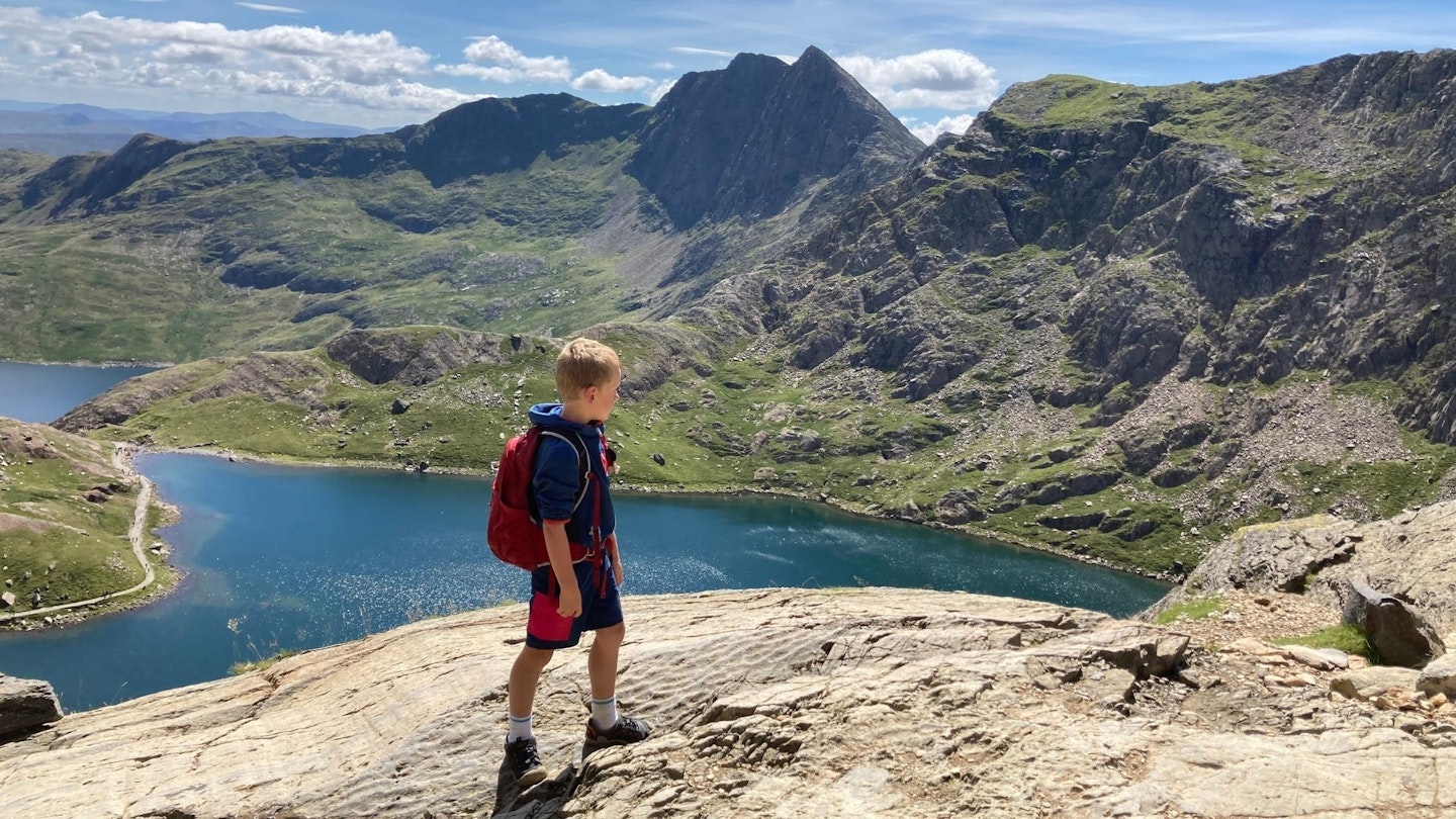
How hard is Snowdon? We get asked that question a lot, but the answer depends on which way you climb it. There are 10 recognised hiking routes to the summit of the highest mountain in Wales, from good footpaths to rocky trails and knife-edged ridges, so the purpose of this article is to match the right one to you.
This 1085m peak is one of the world's busiest mountains and a star name on our Trail 100 bucket list. Everyone who loves hillwalking should climb Snowdon at least once in their lifetime, so we want to help you plan your trip and find the most enjoyable and safe way up the mountain.
Below are 10 routes that we've walked, photographed, and can recommend as memorable hikes to the highest point in both Wales and England. So scroll down, choose the one that sounds best for your level of experience and fitness, then head to North Wales and experience this magnificent mountain for yourself.
Scroll down for full descriptions and interactive guides to the best routes up Snowdon – and CLICK HERE to find out how you can get yourself 12 months of digital OS Maps for half price.
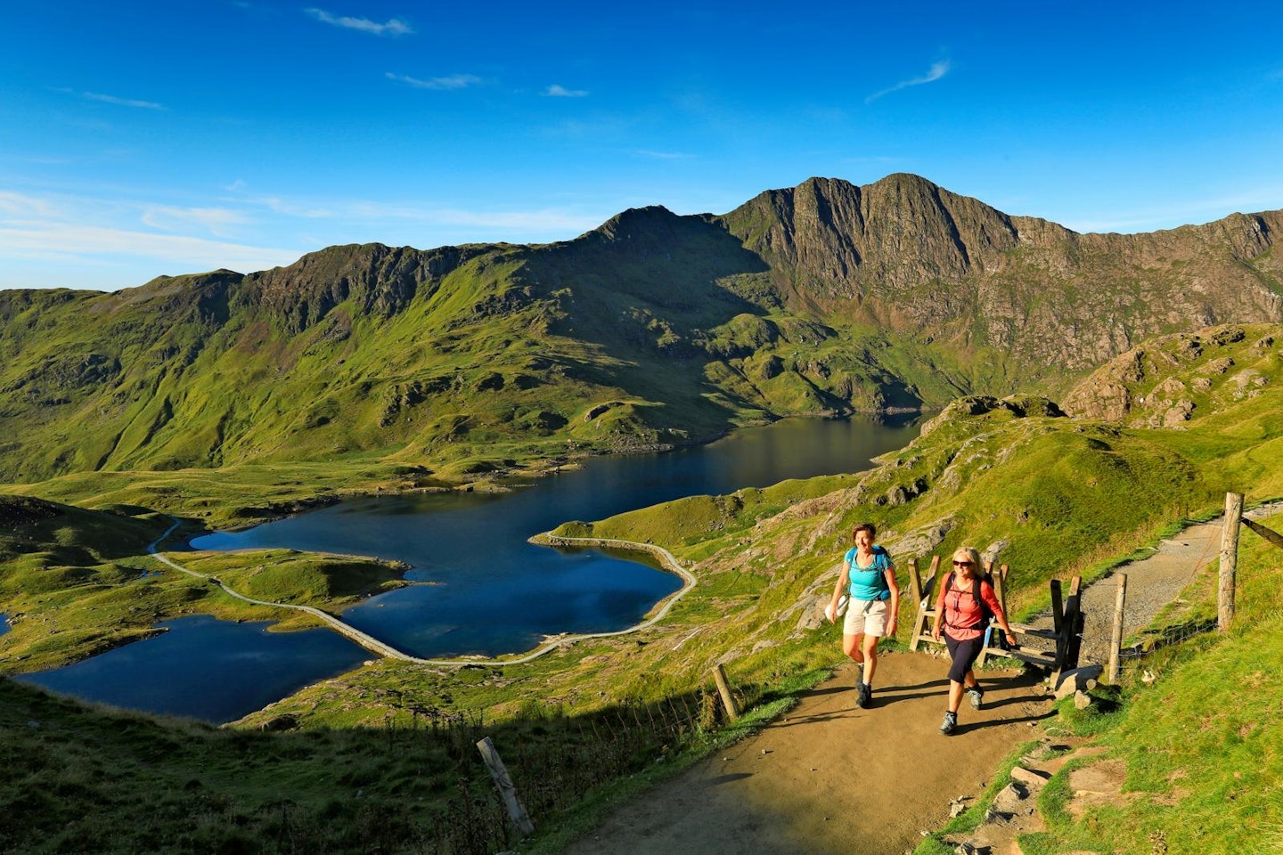
The Pyg Track
Start Pen-y-Pass | Distance 5.2km (to the summit) | Ascent 740m | Difficulty Easy
Allegedly named for the initials of the nearby hotel (the Everest-affiliated Pen-y-Gwyrd) the Pyg Track is considered Snowdon’s route of choice by many. High, rocky, short and spectacular, the path slings beneath Crib Goch and offers spellbinding vistas.
Best for walkers in a rush! This is the shortest walking route with the least amount of ascent (although it is quite steep).
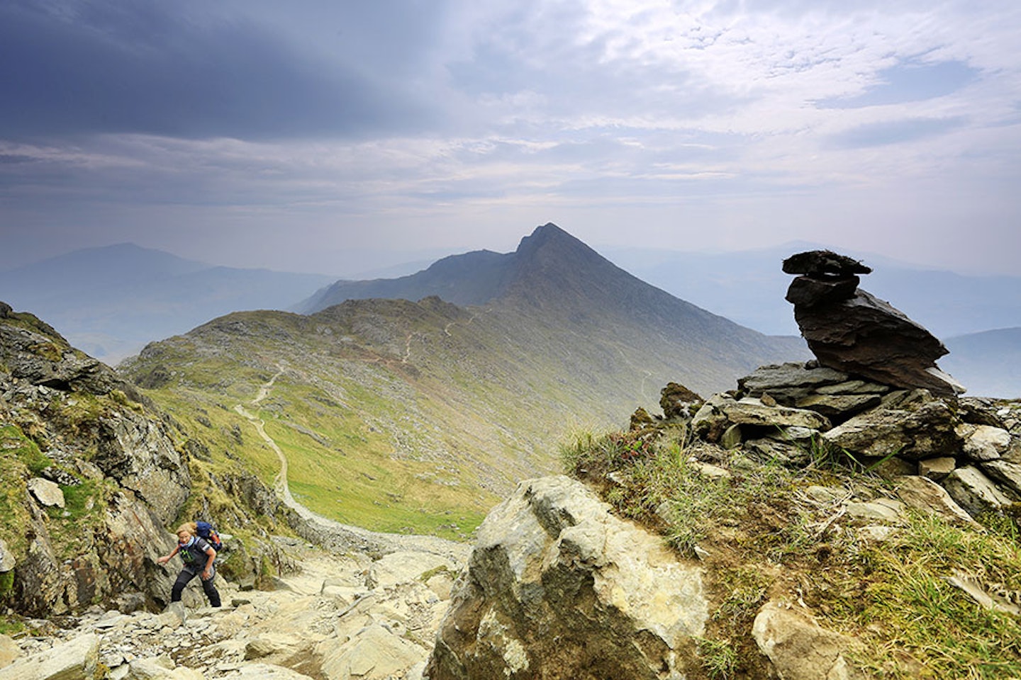
Crib Goch
Start Pen-y-Pass | Distance 4.8km (to the summit) | Ascent 830m | Difficulty Hard (Grade 1 scramble)
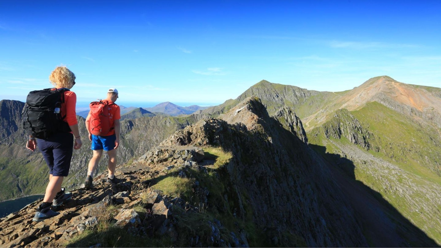
One of the UK’s most famous ridgelines, the Crib Goch arête is an exposed blade of rock within the technical remit of those with a stout head for heights and scrambling ability.
Best for: the sure-footed and scrambling savvy who thrive on adrenaline and are at ease with exposure. The views are fairly spectacular, too.
Llanberis Path
Start Llanberis | Distance 6.8km (to the summit) | Ascent 965m | Difficulty Easy
Perhaps Snowdon’s most pedestrian route (certainly the busiest), the long Llanberis Path takes broadly the same line as the Snowdon mountain railway. A nice flip-side to a strenuous ascent, but something of a motorway – and home to a nasty black spot in winter, so take care.
Best for: a gently climbing ascent that’s easier on the legs than any other route up.
The Miners' Track
Start Pen-y-Pass | Distance 6.2km (to the summit) | Ascent 760m | Difficulty Easy
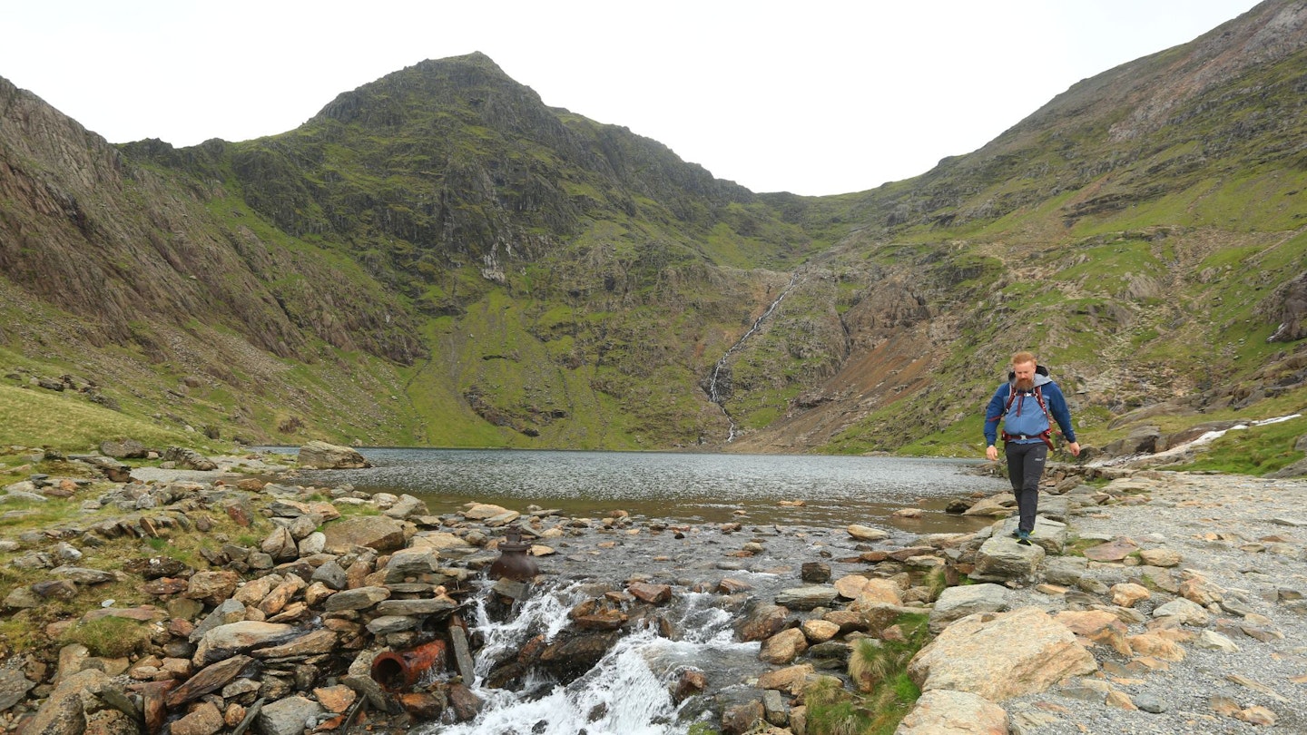
For reasons linked to its name, the first 4km to Glaslyn are the easiest on Snowdon and filled with much in the way of industrial ruin. From there, a rocky ascent meets the Pyg Track and the two join hands to the top.
Best for its docile nature and the amazing view of Snowdon that welcomes you into the arms of the mountain.
The Watkin Path
Start Nantgwynant | Distance 6.1km (to the summit) | Ascent 1020m | Difficulty Medium
Pleasingly green and staggeringly steep up top, the Watkin Path is a well-built route full of interest rising from Nantgwynant. Gorgeous views abound whichever way you tackle it, making it a splendid middle-of-the-road option.
Best for: enjoying the tranquility of forests and waterfalls before climbing into big scenery and steep rock trails.
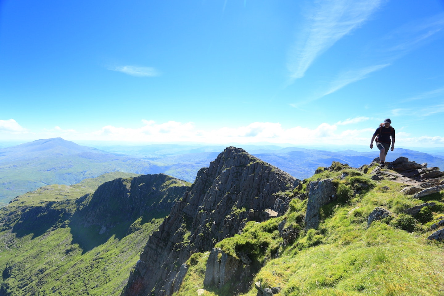
The South Ridge
Start Nantgwynant | Distance 6.7km (to the summit) | Ascent 1150m | Difficulty Medium
Combined with satellite peak Yr Aran and the initial stages of the Watkin Path, the final stage of the long, thrilling but do-able South Ridge of Snowdon is a stunning, if strenuous, undertaking. It feels like a big, big mountain when attacked from this angle.
Best for: those who like massive views, airy walks, and a distinct lack of crowds.
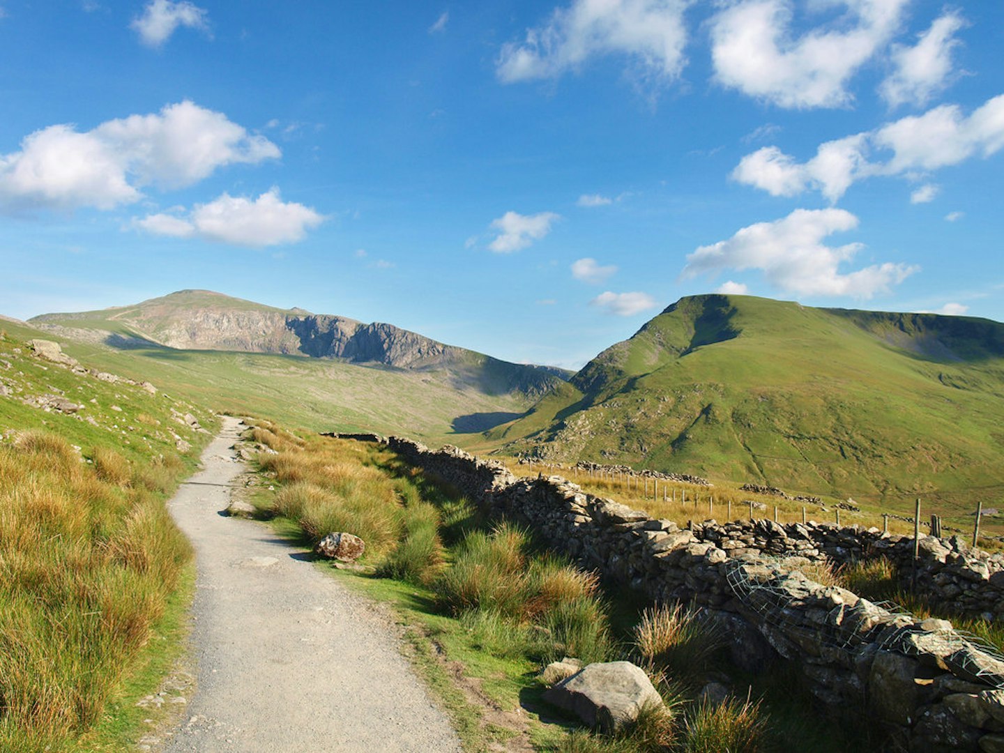
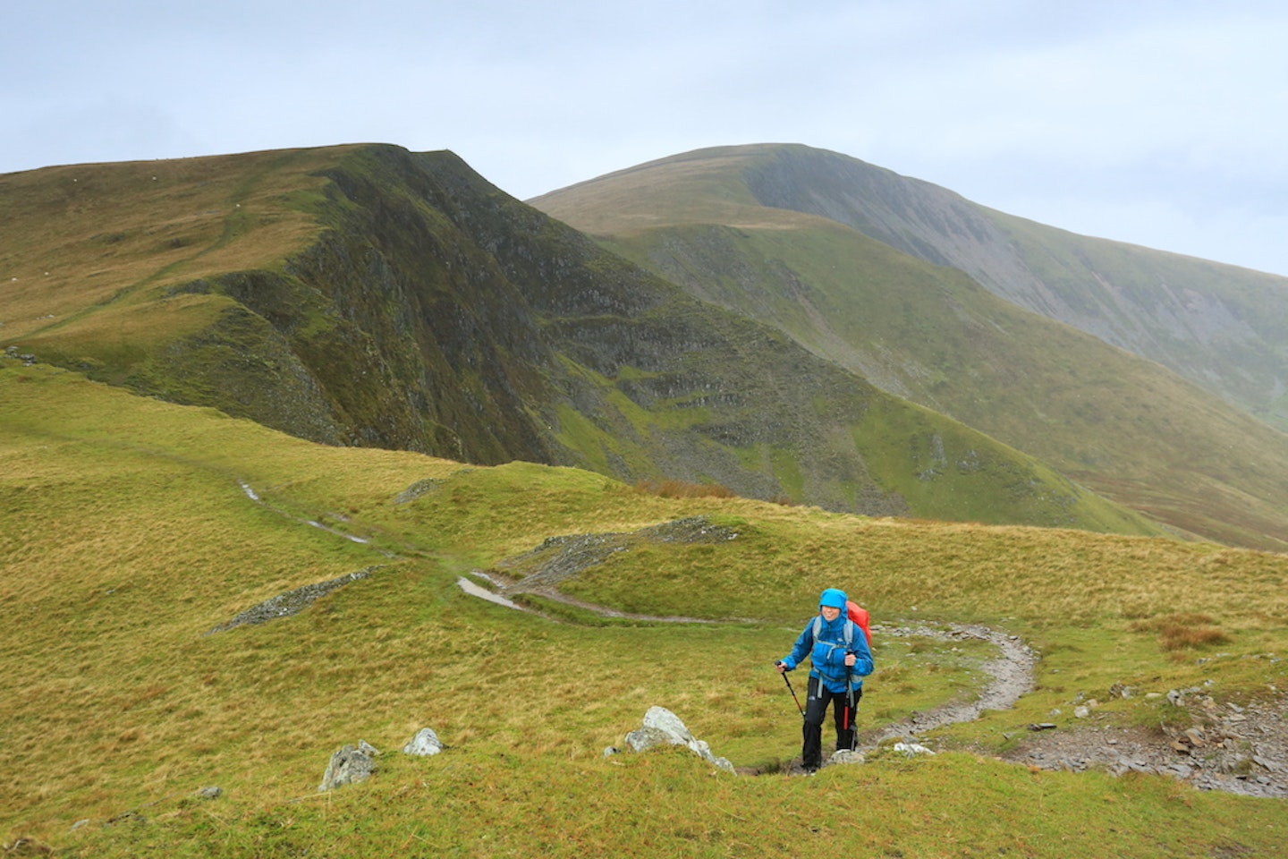
Rhydd-Ddu Path
Start Rhyd-Ddu | Distance 5.8km (to the summit) | Ascent 900m | Difficulty Easy
.jpeg?auto=format&w=1440&q=80)
This route has one big plus: it takes you on a high traverse around the edge of Cwm Clogwyn, the huge western corrie beneath Snowdon’s summit pyramid. The craggy rim of Llechlog is a particular highlight, and the path’s steady ascent has made it popular with mountain bikers.
Best for: walkers who enjoy a sense of exposure but aren’t keen on scrambling.
Snowdon Ranger Path
Start Llyn Cwellyn | Distance 6km (to the summit) | Ascent 950m | Difficulty Easy

The oldest route on the mountain, and it shows. A slow crawl up or a leisurely meander down, it’s very similar in difficulty to the Llanberis Path, but has a more pleasant feel to it. It’s also popular with mountain bikers though, so be warned!
Best for: getting to know the quiet side of Snowdon (and travelling on two wheels).
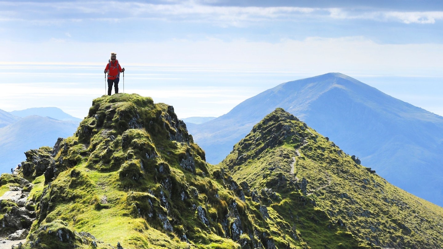
Y Lliwedd
Start Pen-y-Pass | Distance 6.1km (to the summit) | Ascent 880m | Difficulty Medium
The mirror to Crib Goch across Llyn Llydaw, Y Lliwedd is a staggering mountain in its own right. A descent across its crest completes the Snowdon Horseshoe in grand (if knackering) style with a near-vertical cliff to your left and an absolutely extraordinary view everywhere else.
Best for: fans of airy scrambling not quite ready to tackle Crib Goch.
The Big Dipper
Start Llanberis | Distance 12km (to the summit) | Ascent 1500m | Difficulty Hard
The route of choice to or from Llanberis, this rolling ridge (aka The Big Dipper) takes in several satellite tops including Foel Goch, Foel Gron and Moel Eilio. The highlight for connoisseurs is the summit of Moel Cynghorion, where a look back towards Snowdon rewards you with a view to stun.
Best for: the superb views and pleasing line over rarely trod hills.