
Some trails have mountains. Some have cliffs and coves and sandy beaches. Some pass through deep, immersive forests, or spend hours crossing lonesome moorlands beneath impossibly vast skies.
Some are rammed with historical significance; some take you past cafés and pubs with the warmest of welcomes. Some have spooky bits, literary connections, tough bits, easy bits and weird bits.
The Cleveland Way has all of it.
Is there another trail that offers this many changes of scenery, this many rug-pulls, this many twists? Another which feels like your favourite chapters from each of your favourite books have been stitched together in some fantastically baffling omnibus edition, with each crunching non-sequitur more delightful than the last?
I kept asking myself this question when I walked the Cleveland Way, and I kept coming up with a simple answer: nope. This one is unique. Here’s the story of that walk.
DAY 1: Helmsley to Osmotherley (20 miles)
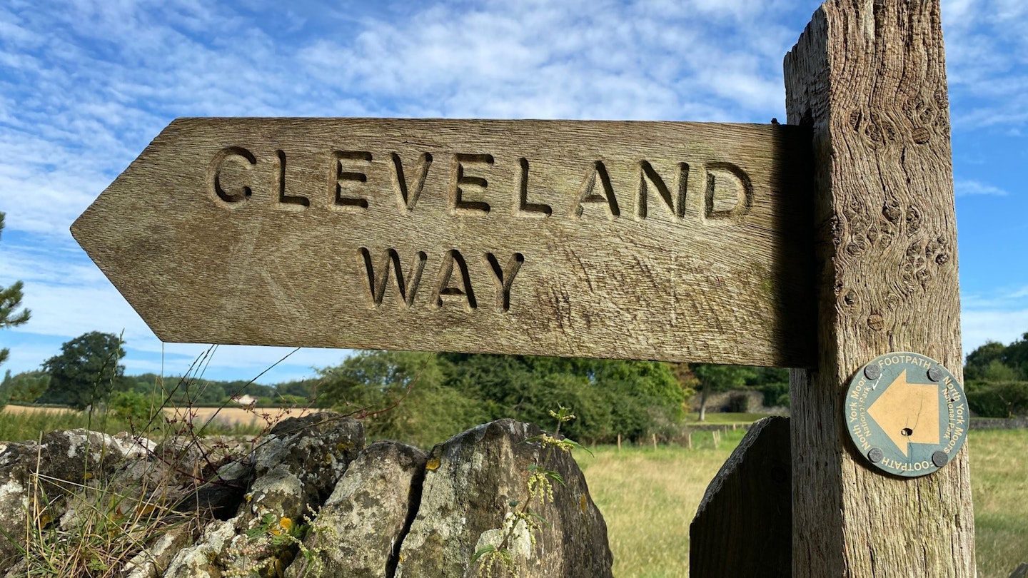
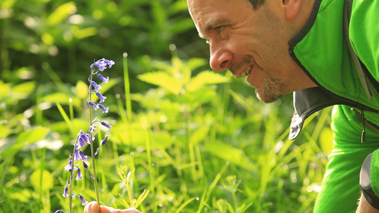
It’s balmy high summer as I set out from the market town of Helmsley, at the south-western tip of the North York Moors National Park. The bells of the village church are pealing as I pass the pyramidal stone that tells me I’m starting the Cleveland Way.
Last night I sat with a beer watching a village cricket match, which is about the most civilised start to a National Trail I could possibly imagine.
Ahead of me are seven full days of walking, covering 110 miles from here to Filey Brigg. I’m on the shorter and more intense of two itineraries offered by Macs Adventure, consisting of three 20-mile whoppers, three 11-14-mile mid-rangers, and a final shortie of eight. Record-holder Eddy Healey ran it in 19 hours, 23 minutes in 2022, but let’s not worry about that.
The route of the Cleveland Way forms a sort of wiggly rainbow around the edge of the North York Moors National Park, using three obvious handrails: the Hambleton Hills to the west, the Cleveland Hills across the top, and the Yorkshire coast on the eastern side.
You can walk it the other way round, but going clockwise tends to be the most popular option as it keeps the prevailing westerly wind at your back.
It doesn’t take long for civilisation to disappear. I’m soon enclosed in deep and woody ravines, where the church bells are shouted down by wood warblers and yellowhammers.
A quick detour takes me to the first Great Unmissable of the trail: Rievaulx Abbey. Founded by Cistercian monks in 1132, trashed by Henry VIII in 1538, Rievaulx was a seat of sacred contemplation, where the reclusive Cistercians could ponder the great questions of faith and devotion while enjoying cream teas in the English Heritage café. (I’m a walker, not a historian.) Is this the best-located religious ruin in the country? It’s a damn good shout.
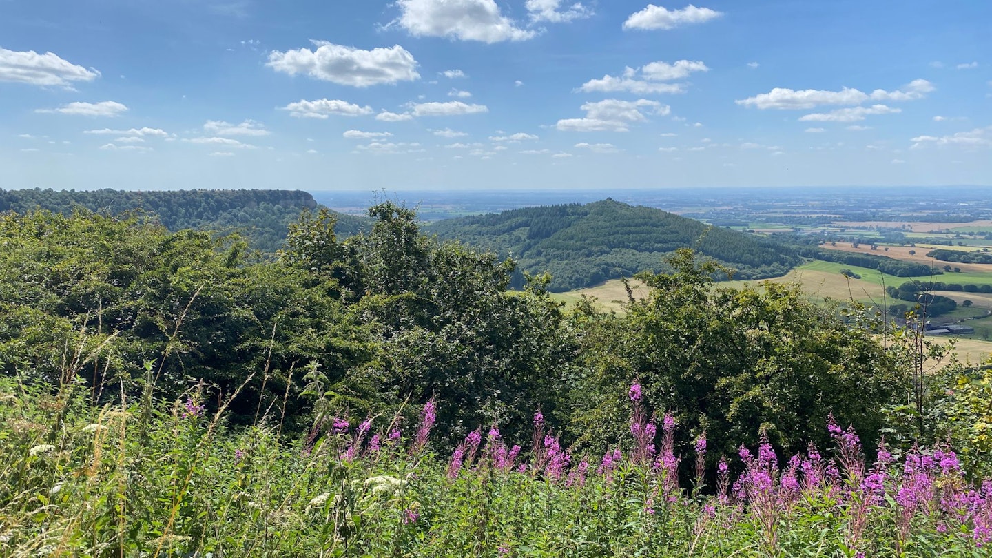
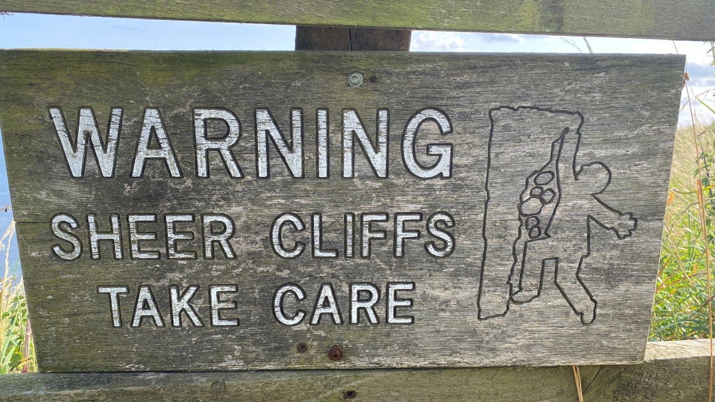
An hour or so later, the scenery changes utterly, at Sutton Bank. This is where the North York Moors come to an abrupt end, dropping off into the Vale of York like the breaking of a megatsunami upon a calm sea. This is where I start to realise where the name ‘Cleveland’ comes from; allegedly it means ‘cliff-land’. Whether landlocked or seaward, I will see a lot of cliffs on this trail, but as a manifesto promise, this cliff is hard to beat.
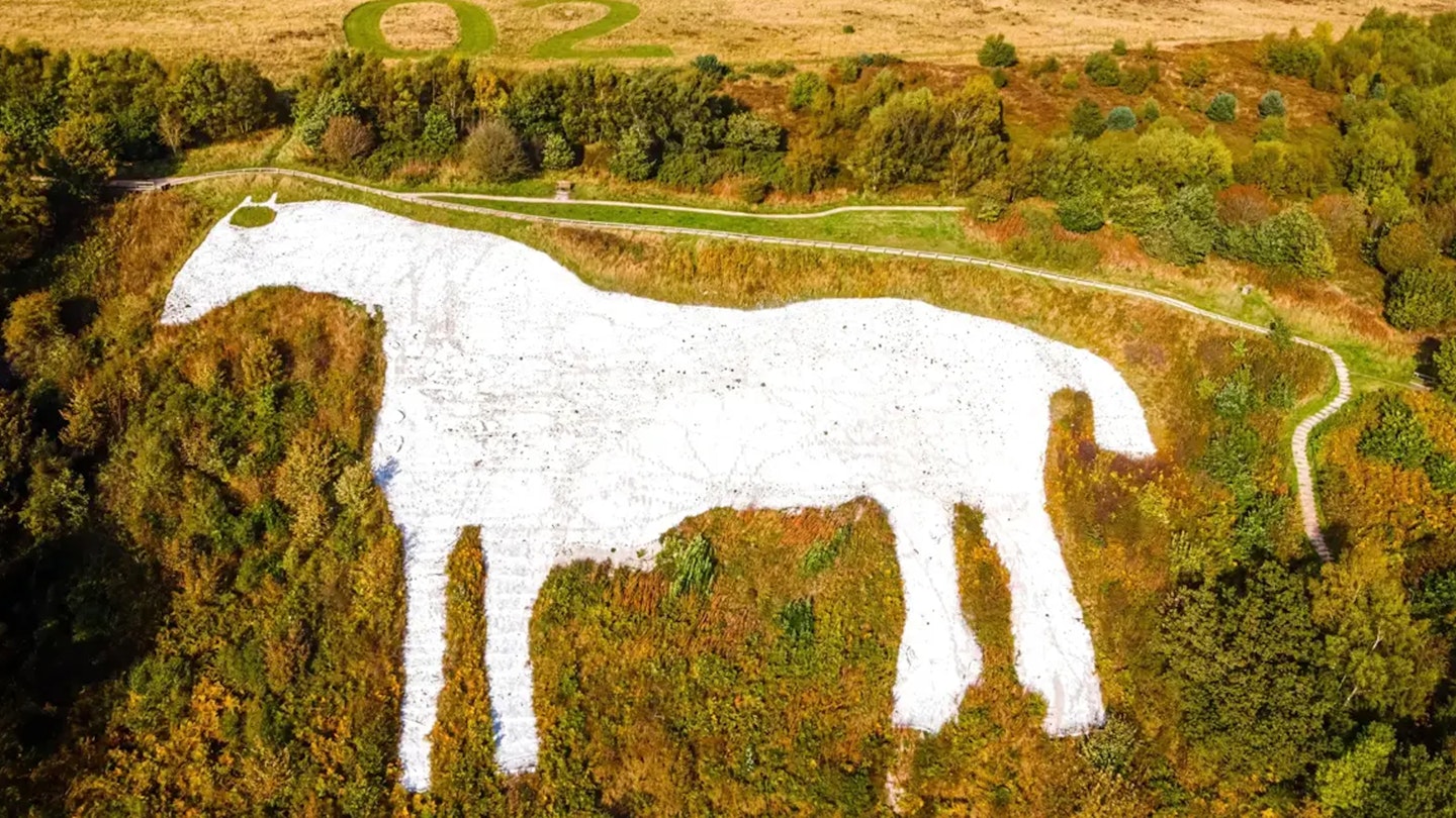
The trail has a short official detour southwards at this point, to skirt the edge of Roulston Scar and overlook the mighty Kilburn White Horse, hewn into the hillside by locals in 1857.
Then it zips back up to the Sutton Bank visitor centre and onward to the scene hailed by Alf Wight (the real name of vet and author James Herriot) as ‘the finest view in England’. It is indeed a zinger, as flat-topped Roulston Scar faces off against conical Hood Hill, while eerie, ear-shaped Gormire Lake sits nestled in the forested foreground.
The lake is worth another detour if you’ve got the legs, not least because it’s the last significant water you will see for three full days. (Don’t worry though: days 5-7 are watery all the way.)
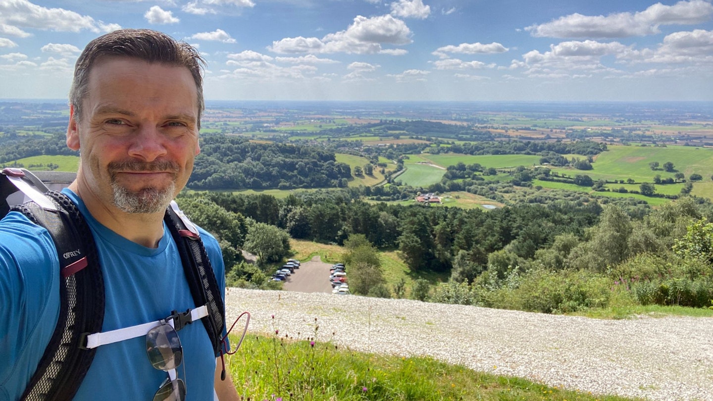
There now follows a prime example of the Six Minute Rule. Walk six minutes from any famous viewpoint (or its car park) and you will see the crowds vanish. So it is here, as the route escapes along the scarp of the Hambleton Hills. Six minutes from the visitor centre, I’m alone, pretty much all the way to Osmotherley.
There is one unexpected delight on this section. Having skipped the visitor centre to avoid the school-holiday throngs, I’ve convinced myself that the remaining 12 miles are bereft of refreshments.
Turns out I am gloriously wrong. Three words: High Paradise Farm. Possibly the most welcome surprise on the entire trail.
DAY 2: Osmotherley to Clay Bank Top (11½ miles)
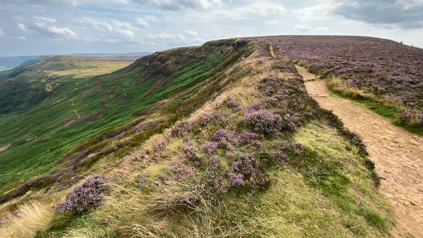
This stretch is a superstar. That’s mainly down to it being a non-stop rollercoaster along the scarp of the Cleveland Hills, taking in stellar scenery like Carlton Bank, Cringle Moor and the Wain Stones.
But it’s also because the Cleveland Way is not alone here. It’s joined by the Coast to Coast and, for those of a certain vintage, a wonderfully strange old route called the Lyke Wake Walk. All three paths – radically different in distance and objective – jaunt merrily along the ridge here.
I meet a few walkers along the way and find they are evenly split between C2Cers and Cleveland Wayfarers. (When I walked the 40-mile Lyke Wake in 2020, no one I met had even heard of it.)
There’s a fair bit of upping and downing, and the views are stupendous: the vastness of the moors to the south, and the plains of Teesside to the north. And on the horizon, the sea is starting to sneak into view. Not so much a destination as a destiny.
Navigation is a doddle, as it is on the trail as a whole. Trail acorns appear at every major change of course or crossroads. Thanks to Trail Manager Alec Boyd and his long-serving predecessor Malcolm Hodgson, and the stout-hearted volunteers who help them out, this is an immensely well looked-after trail.
There’s a perfect pause at Lordstones Country Park, a grassy belvedere perched between the bulky hulks of Carlton Bank and Cringle Moor. Good ice cream here.
The day ends (in theory) at Clay Bank, where a minibus from the excellent Wainstones Hotel down in Great Broughton will collect me if I ring ahead. But the afternoon is gorgeous and I’m not ready to stop yet. Even though the extension is mostly on road, I cover the two miles to the hotel on foot. The pint at the end is all the sweeter for it.
DAY 3: Clay Bank Top to Newton-under-Roseberry (14½ miles)
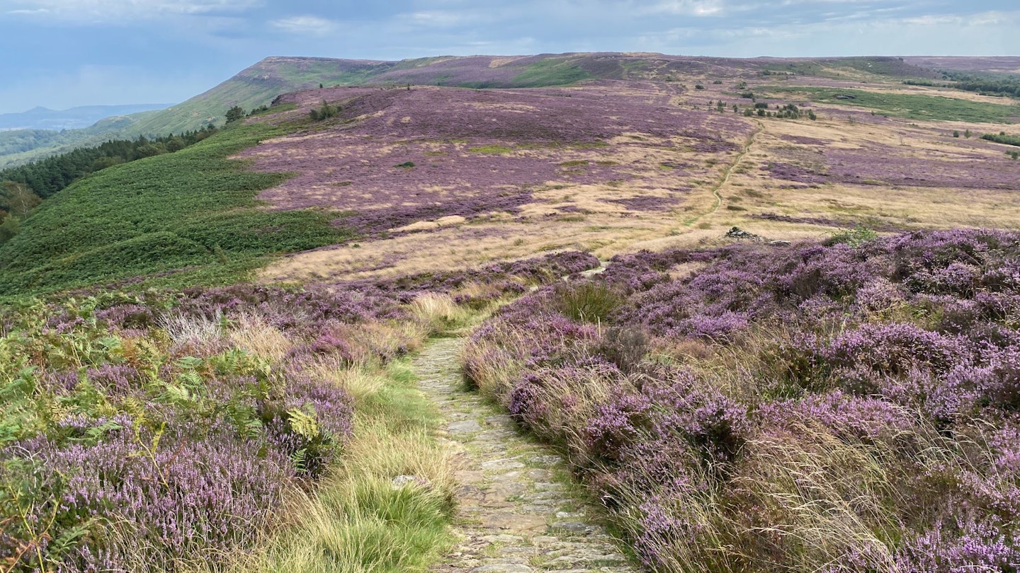
If there’s a day of this route that puts you in a flow state, it’s this one. It’s not just because it’s Day 3 and I’ve hit a rhythm; it’s the landscape. This is the most moor-y of the days, as I schlep out to the remote crossroads of Bloworth Crossing.
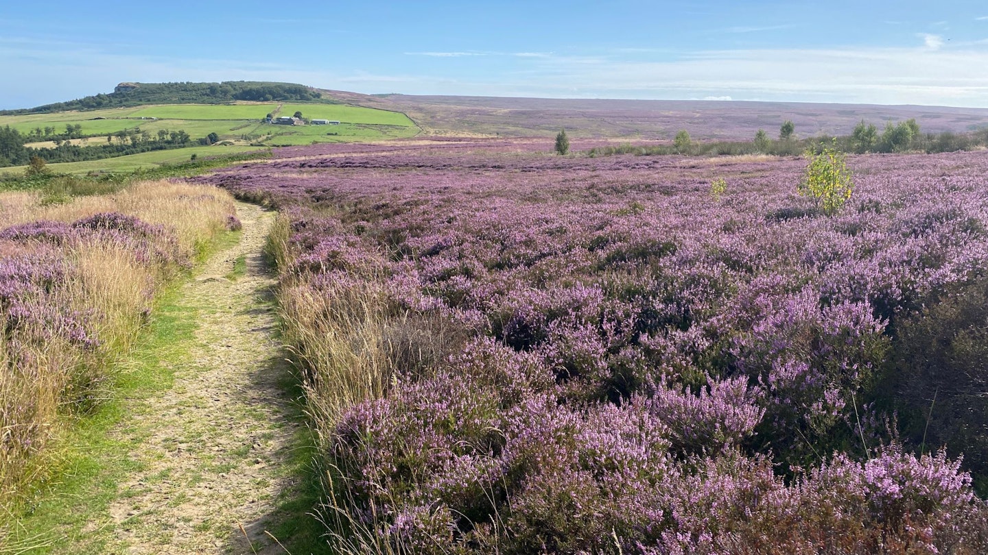
Not a huge amount of up and down, just steady, simple progress on sandy paths, and more heather than I’ve ever seen. (And not just heather but tormentil, bilberry, sphagnum moss and heath bedstraw, plus the ubiquitous grouse, curlew and plover).
I can feel that my pace has slowed. I wasn’t exactly rushing before, but I’m definitely chilling right out. I am, technically, working. But I could almost – almost – believe I’m on holiday.
This is the day with the least options for refreshment. Like, none. Even the tiny, remote hamlet of Kildale offers nothing. So my nourishment comes from the fruit and trail mix in my pack, and from the sheer tranquillity of what’s around me.
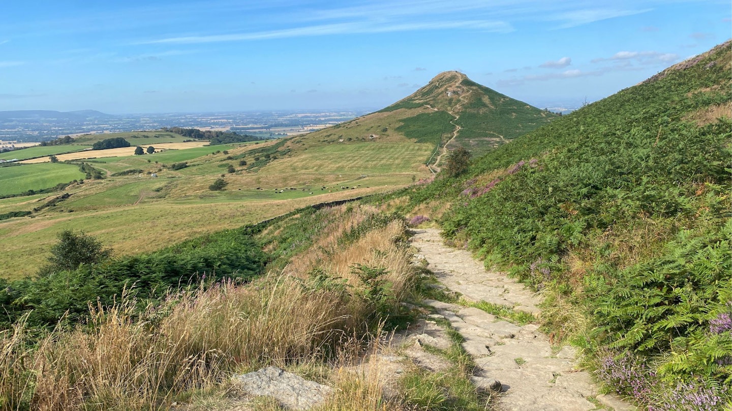
The back end of the day takes in two of the trail’s megastars: first the Captain Cook monument, standing proud atop Easby Moor. And finally, the most famous small mountain in the country: Roseberry Topping. A sandstone spire that only just troubles the sky by 1050ft, but is nonetheless indisputably a mountain, and the figurehead of the moorland half of this trail. Could there be a finer end to a walking day than this?
DAY 4: Newton-under-Roseberry to Saltburn-by-the-Sea (12 miles)
Could there be a finer start to a walking day than this?
I have to climb Roseberry Topping again, just to plug back into the Cleveland Way after a night at the King’s Head. But it’s a different experience: somehow the Topping looks different in the morning from what I saw last afternoon. It’s quieter, too.
Overnight I studied a bit more about the history of the trail. A long-distance route encircling the North York Moors was first proposed by the Teesside Ramblers’ Association in 1938.
Sadly by the time two world wars and global upheaval had got in the way, it was 1969 before it finally opened. It became Britain’s second National Trail, following the Pennine Way four years earlier.
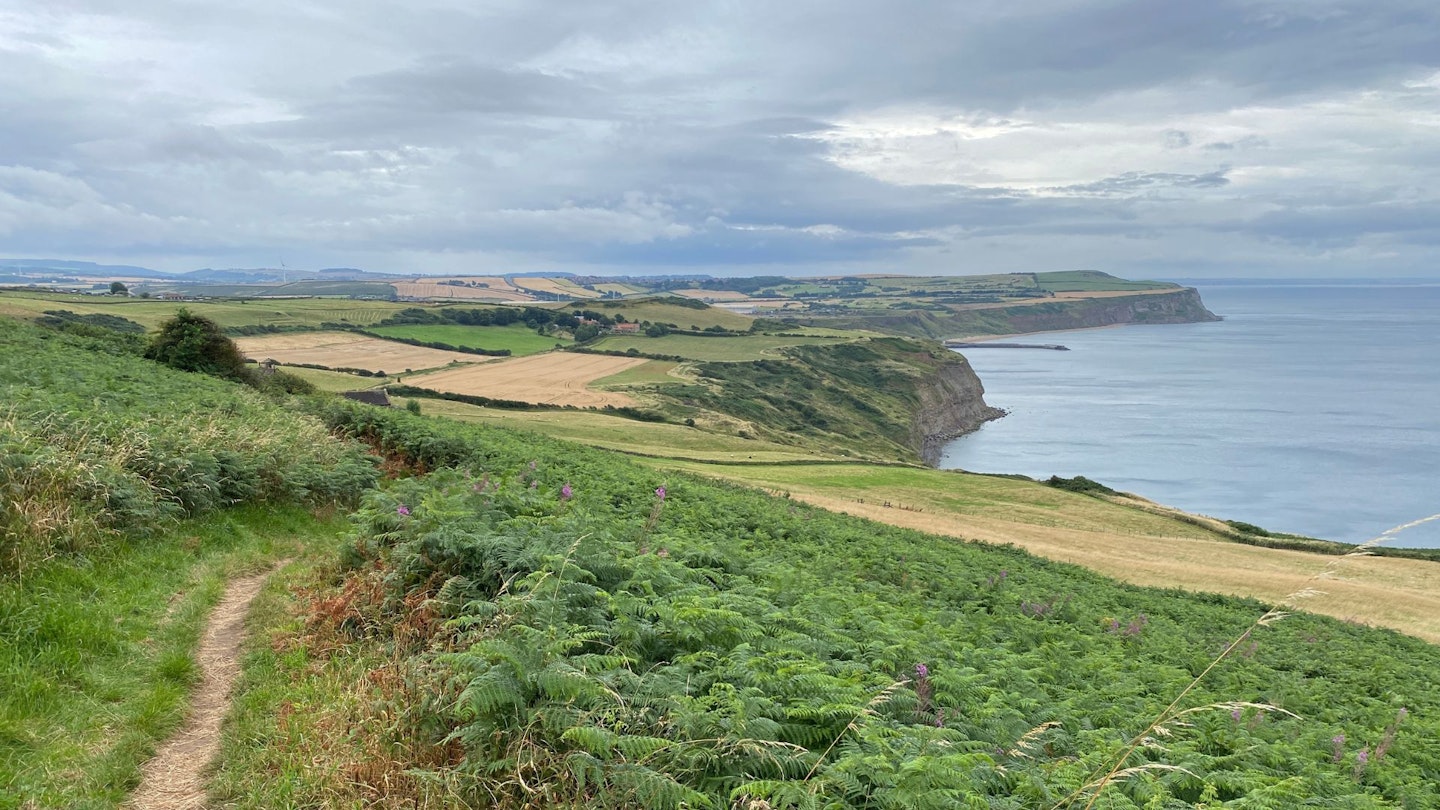
This is the day I was perhaps most looking forward to, as aside from Roseberry, I’ve not walked a step of it before. And what a treat it turns out to be. Initially more moor, all the way to Highcliff Nab, a lofty bluff overlooking the town of Guisborough.
Then cliffs (again!), then woodland, then farm tracks; then urban fringe, then woody ravines and the first running water I’ve seen since I crossed that stream at Sutton Bank on Day 1.
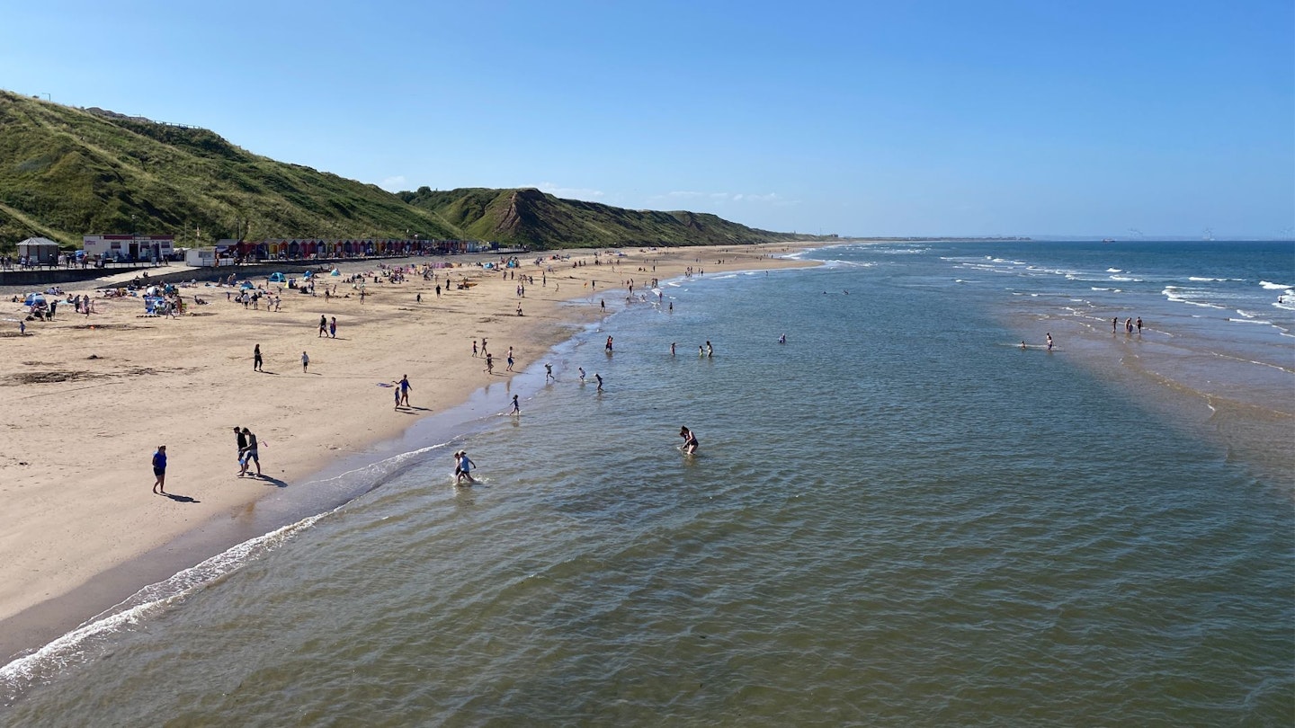
And suddenly, the sea. I’ve seen it from afar, and I’ve sensed its coming from the woods of Skelton Beck, where ozone was on the breeze amongst the oak and beech. But here it is: a vast sandy beach, overwatched by an elegant 19th century pier. This is Saltburn-by-the-Sea. And it is shining.
I set hospitality industry records for my speed of check-in at the Saltburn Spa, because I’m straight out again in trunks and towel. If there has ever been a more perfect moment to leap into the sea in sheer joy, I struggle to think what it is.
DAY 5: Saltburn-by-the-Sea to Whitby (20 miles)
Today the trail pivots to become a coast walk. In fact it’s world-class coastal walking, as I’m joined by the King Charles III England Coast Path.
Also today, it rains. A lot. But I don’t mind that. I’ve been jammy so far, so I figure I was owed it. Plus, this is one of those days we talk about in our gear tests, when we get the chance to give our kit a damn good thrashing. Pleased to report that my Rab Kangri waterproof performs admirably. (The shorts were optimistic though.)
Neither does the rain dampen the views. In fact it injects a British-racing-green lustre into fields that were just starting to look a bit parched and Augusty.
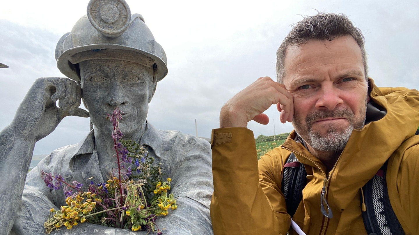
The first highlight of the day is Circle, AKA the Charm Bracelet, a sculpture by Richard Farrington which has been the scene of innumerable selfies and family photos. For industrial geeks there’s Boulby Mine, the landward end of a vast undersea operation to mine a natural fertiliser called polyhalite.
Then there’s the fishing village of Staithes (great tearooms), the steep climb off the beach at Hob Holes, and the weird lunar surface of the alum-quarrying spoilheaps at Sandsend Ness.
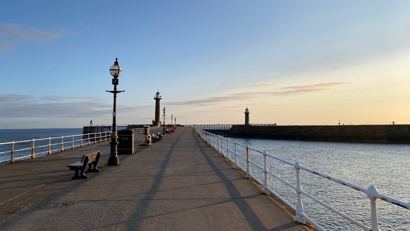
And finally, Whitby. Surely I don’t need to say much about Whitby? Abbey, harbour, jet, seafood, Dracula, arch. A place of legend. And the sleep of angels.
DAY 6: Whitby to Scarborough (21 miles)
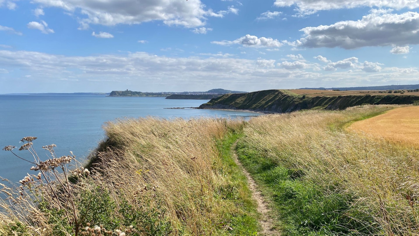
On paper, a beast of a day, yet it goes past in a breeze. I’m back in flow state, as headland follows cove follows beach follows ravine. The rain is gone, the sky is clear. At Hawsker I’m joined by the Coast to Coast again (we parted company three days ago at Bloworth Crossing), on its final stretch to Robin Hood’s Bay.
So now I’m walking the Cleveland Way, the C2C and the England Coast Path. I’m pretty sure this is the only place in England or Wales where three National Trails overlap.
Robin Hood’s Bay needs as little written about it as Whitby; in fact it’s the one place that feels slightly too busy for comfort on the entire trail. But I do get the happy moment of seeing a group of friends high-fiving on the beach as they finish the C2C. Tomorrow, that’ll be me. High-fiving myself.
Boggle Hole is beautiful. At Stoupe Beck Sands, a swim. Then there’s a long ascent to the clifftop perch of the Raven Hall Hotel at Ravenscar, which is a bit like the Tan Hill on the Pennine Way: the Pub That Never Gets Any Nearer. But once there, I sit with an ale and savour the fantastic story of Ravenscar: the ambitious resort that never was.
The rest of the way to Scarborough feels like it’s all downhill, even when it isn’t. Scarborough itself is more of a challenge. There’s a lot of concrete underfoot as I swoop round the immense North Bay and South Bay beaches; it’s a surprisingly big place at the end of a 21-mile day.
But also a beautiful place, a big resort whose heart and soul are still proudly intact. And the pot of prawns is to die for.
DAY 7: Scarborough to Filey (8 miles)
By my normal standards, eight miles would be a decently long hike. But I’m a Cleveland Wayfarer now. As they say in Fight Club: after one fight, you’re a wad of cookie dough. After a week you’re carved outta wood. Eight miles is a stroll.
Am I experiencing ‘finish fever’? On the contrary, I don’t want this to end. Give me more cliffs, oh cliff-land. Give me more kittiwakes, more fulmars, more choughs and more razorbills. I love you all. Even the aroma of guano has become a good, kind pal.
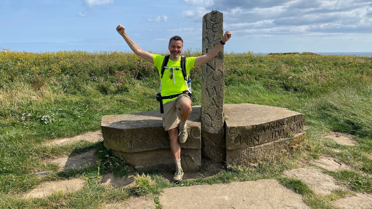
And there it is: the second pyramidal stone, just north of Filey. The one that tells me I’m done. I fall upon it and give it a hug, rough stone to flushed cheek.
Then I look on the other side and see three words etched into the stone: Yorkshire Wolds Way. From this stone I could follow another set of acorns for 79 miles southwards through the rolling wolds, all the way to the Humber Bridge. But that’s for another time.
Right now, I head out to the farthest snout of Filey Brigg for a spot of rockpooling, walk back along Filey beach for a final celebratory dip in the sea, then sit, drying and pondering.
Mr Spock off Star Trek once spoke of the Vulcan philosophy of ‘infinite diversity in infinite combinations’: the belief that the universe is enriched by variety. That difference is vital, valuable and nourishing to the soul. It’s an idea I’ve cherished for seven magnificent days.
The variety and diversity (and biodiversity) of this trail are still blowing my mind even now as it write this, as the Cleveland Way nestles comfortably in my memory bank as one of the most nourishing walking experiences of my life.
Yep, there are a lot of long-distance walks out there, and all of them have something to recommend them. But to slip effortlessly from one science fiction reference to another, on the Cleveland Way, you get Everything, Everywhere, All at Once.
How to walk the Cleveland Way
LFTO walked the Cleveland Way with the help of Macs Adventure. Macs offers self-guided packages for most of the National Trails as well as many other long-distance paths.
In each case, accommodation and baggage transfer are seamlessly taken care of; Nick left his suitcase in reception every morning and was delighted to find it in his next room that evening. Your itinerary and maps are preloaded on the Macs app and you get paper maps and a guidebook too.
You just have to get yourself to Helmsley at the start and away from Filey at the end. The 9-day itinerary Nick followed (including two travel days) costs from £995, while the 11-day version (with shorter distances each day) starts from £1255. Full details at macsadventure.com or @macsadventure on socials.
Where to stay
The venues chosen by Macs were flawless: the Black Swan in Helmsley, the Golden Lion in Osmotherley, the Wainstones in Great Broughton, the King’s Head in Newton-under-Roseberry, the Spa Hotel in Saltburn, Bagdale Hall in Whitby and The Cordelia in Scarborough. All of them exceptional.
Where to eat & drink
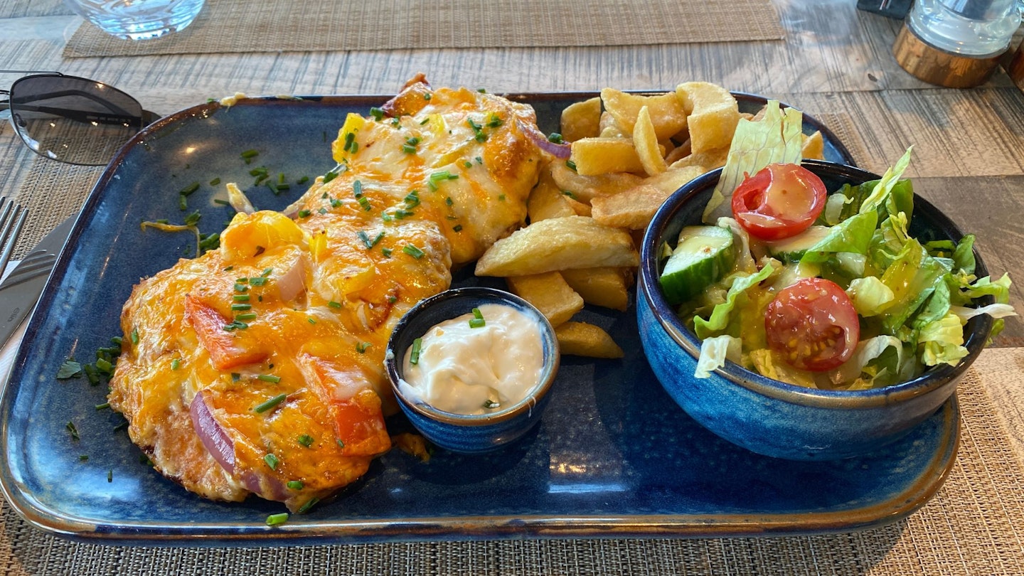
Of the above, Nick especially recommends the burgers at the Black Swan, chicken and ham hock pie at the Wainstones and the legendary Teesside Chicken Parmo at the Spa.
Nick’s favourite pauses were at High Paradise Farm north of Sutton Bank, The Guns Bar in Saltburn, the Green Dragon in Whitby and The Glass House at Charlotte’s in Filey (most of which were recommended by the #Walk1000Miles community, who kept Nick company along the way).
More information
Obviously your first port of call should be nationaltrail.co.uk/clevelandway for a comprehensive range of information and resources. But also check out yorkshire.com, visityorkshire.co.uk, visitnorthyorkshire.com and northyorkmoors.org.uk.
Macs provides walkers with the excellent Rucksack Readers guidebook to the Cleveland Way and the Harvey Map of the route. You can also get good guidebooks from Cicerone and Trailblazer.
About the author
Nick Hallissey is a writer and editor with a passion for wildlife watching, slow walks and meaningful storytelling. A regular contributor to Country Walking and Trail magazines, he brings his trademark pizazz to Live for the Outdoors through occasional trail running shoe reviews, outdoor advice, and sober, reflective features on everything from multi-day hiking routes to modern rewilding projects.