Here you’ll find all the routes featured in the most recent issue of Trail magazine. You can view the routes on the OS Maps website and, if you’re an OS Maps Premium subscriber, overlay them on 1:25,000 Explorer or 1:50,000 Landranger leisure mapping.
Trail magazine subscribers can claim a half-price subscription to OS Maps Premium - click here to find out more!

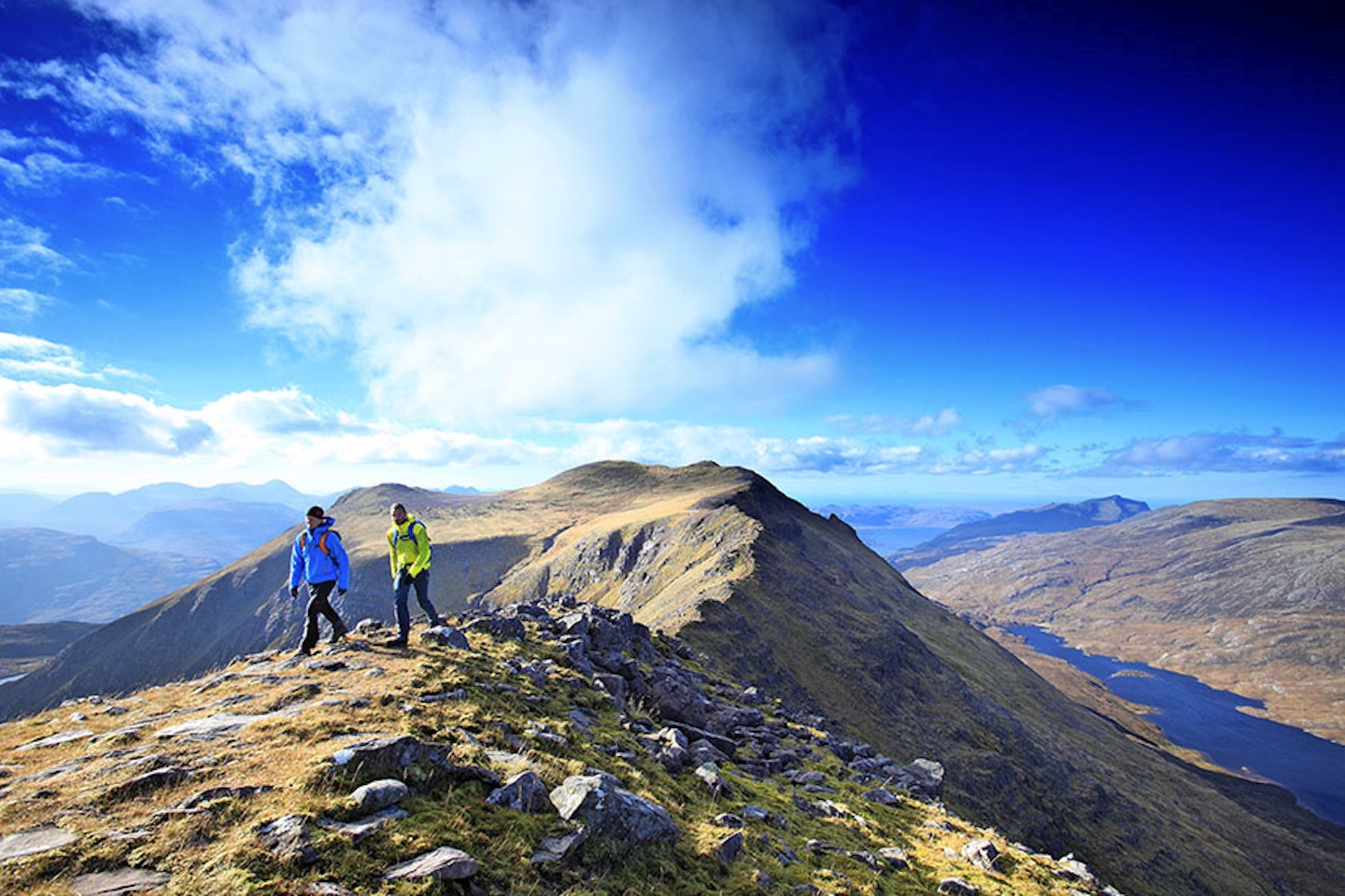
Route 1: Ben Hope, Highlands
If you’re going to climb Scotland’s most northerly Munro, do it with style on an exhilarating scramble.
Click here to view and download the Ben Hope route from OS Maps

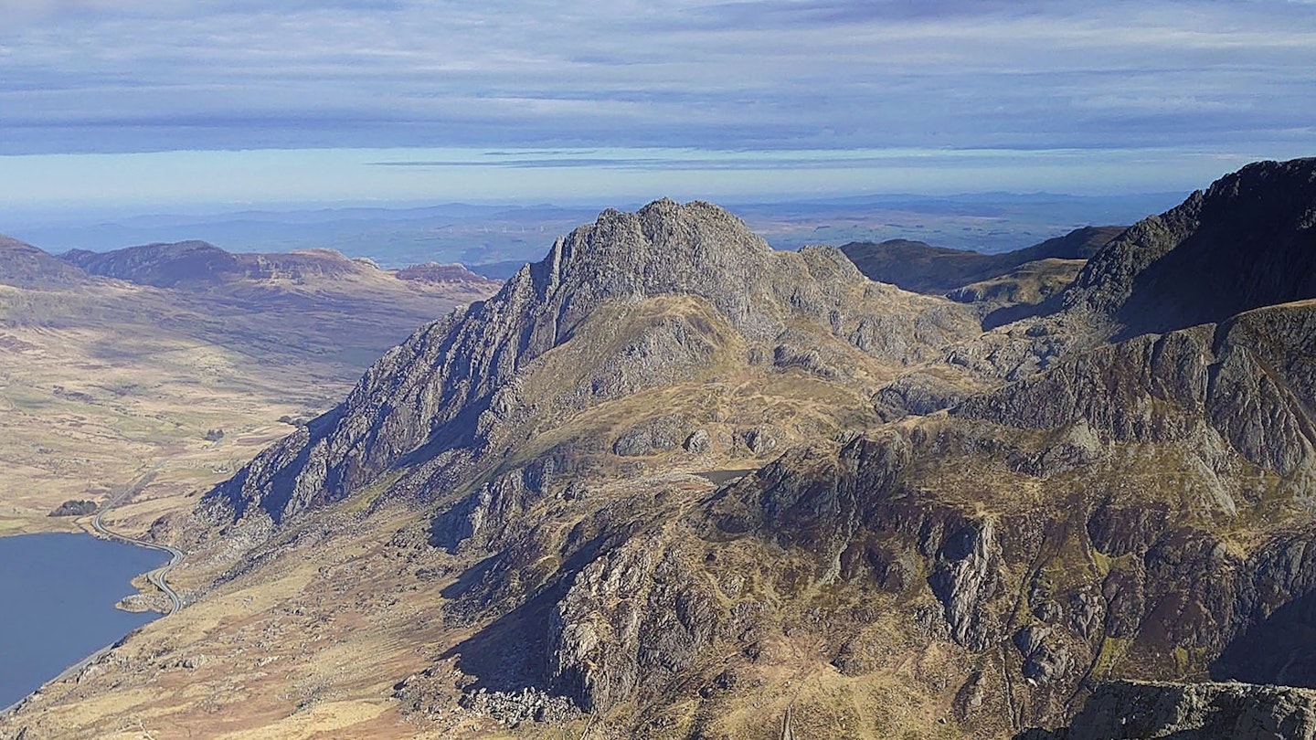
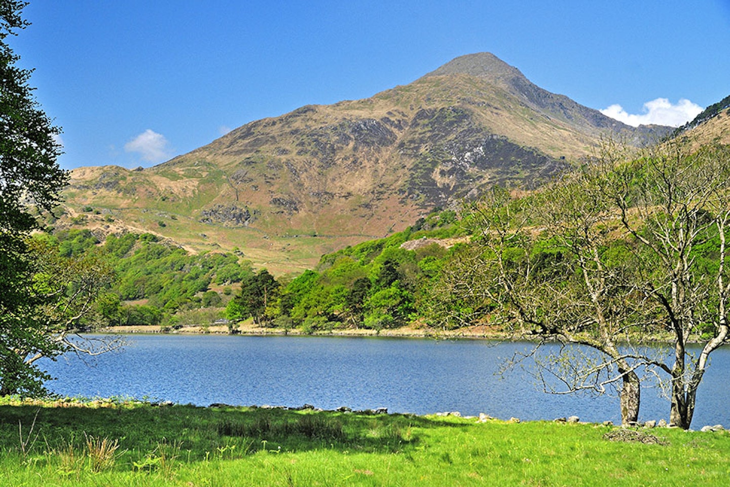
Route 2: Y Garn via Foel Goch, Snowdonia
This quiet route up a popular mountain is perfect for busy weekends in the Snowdonia National Park.
Click here to view and download the Y Garn via Foel Goch route from OS Maps

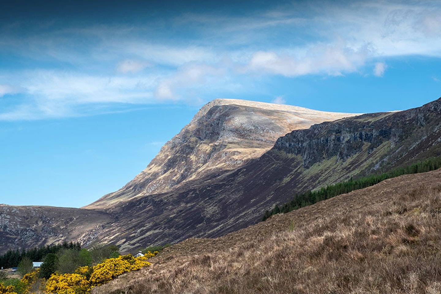
Route 3: Slioch, Torridon
Start early and pop your comfiest boots on for this long (but amazing!) walk into one of the more remote peaks of Torridon.
Click here to view and download the Slioch route from OS Maps

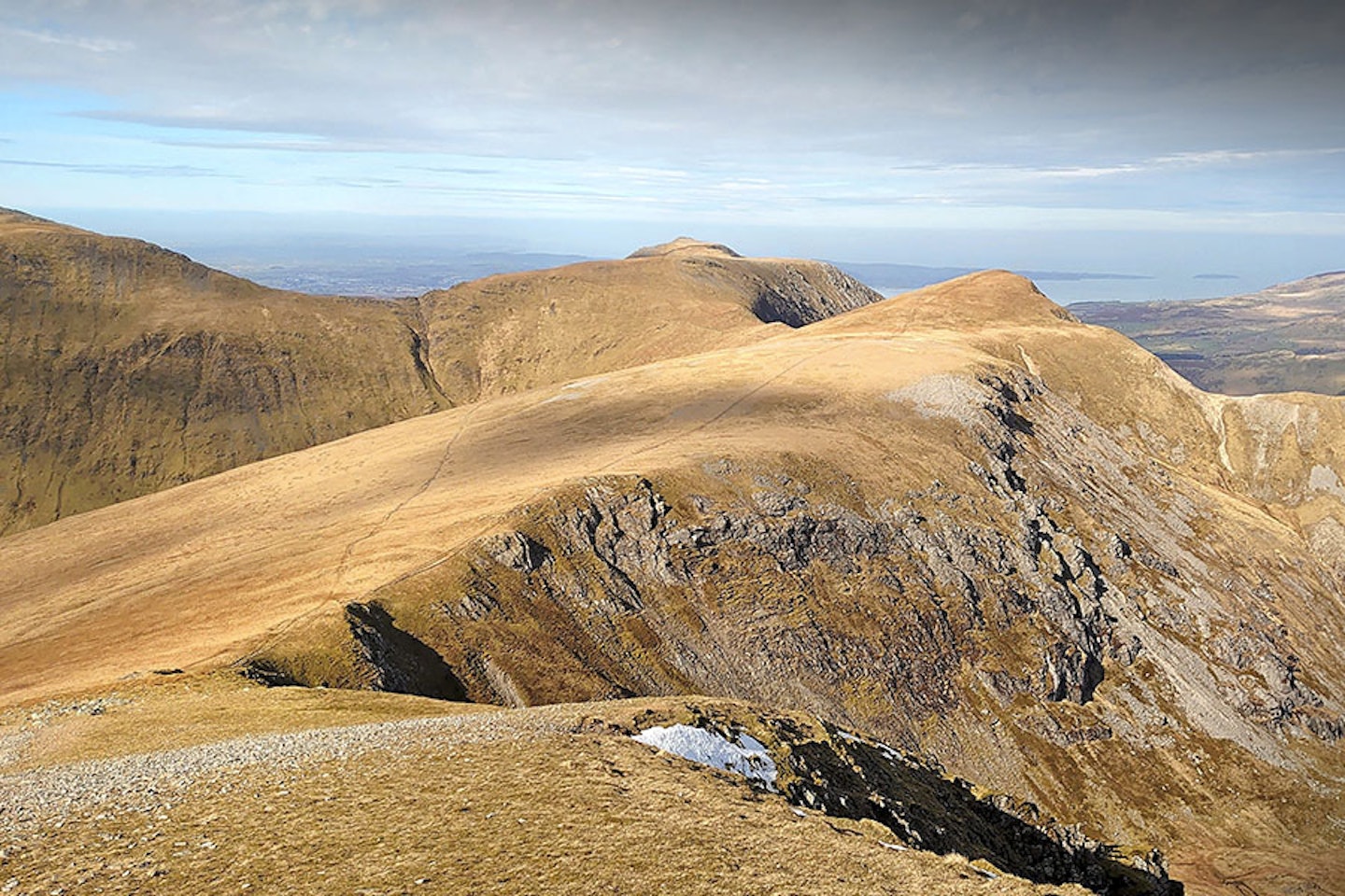
Route 4: Yr Arran, Snowdonia
Isolated Yr Aran is often overlooked in the rush to climb Snowdon but it’s a fine Snowdonia viewpoint which never fails to disappoint.
Click here to view and download the Yr Aran route from OS Maps

Route 5: Howgills Loop, Howgills
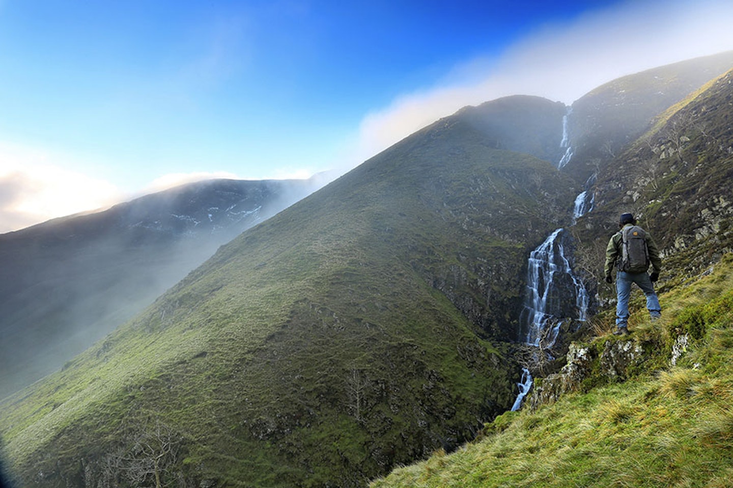
Take this route up the highest fell in the Howgills, and you’ll enjoy the spectacular waterfall of Cautley Spout on the descent.
Click here to view and download the Howgills Loop route from OS Maps

Route 6: Haweswater horseshoe, Lake District

Explore this delightful loop around the Lake District’s eastern fells and you’ll skirt some beautiful valleys in a lesser visited area of the national park.
Click here to view and download the Haweswater horseshoe route from OS Maps

Routes 7, 8 & 9: Ultimate Weekend – Cumbria Traverse, Lake District
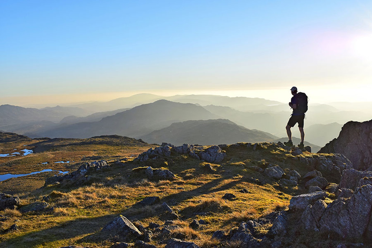
Designed as a fell-running challenge, the Cumbria Traverse also makes a superb backpacking route for walkers.
Click here to view and download the Broughton Mills to Caw route from OS Maps
Click here to view and download the Caw to Great Gable route from OS Maps
Click here to view and download the Great Gable to Keswick route from OS Maps

Routes 10, 11 & 12: Ultimate Weekend – The Black Mountain, Brecon Beacons
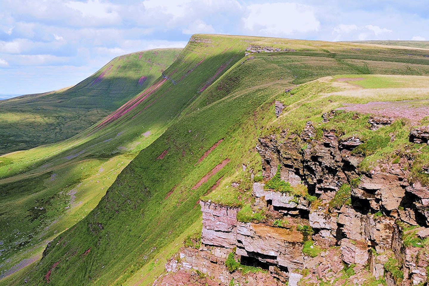
Explore a quiet quarter of the Brecon Beacons National Park from a traditional hostel in the hills south of Llandovery.
Click here to view and download the Remote hills & valleys route from OS Maps
Click here to view and download the Moel Gornach & Foel Fraith route from OS Maps
Click here to view and download the Carmarthen Fans route from OS Maps
