
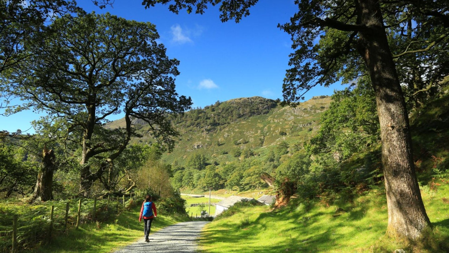
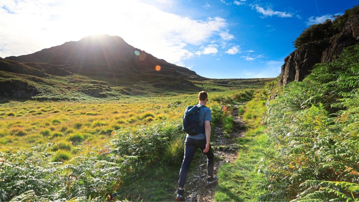
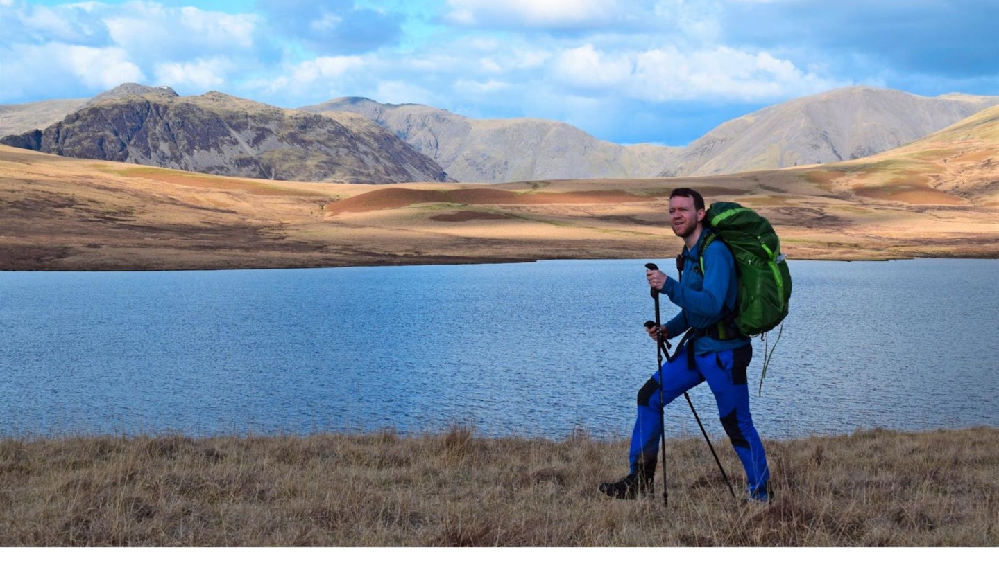
In Europe, Haute Routes are some of the finest hiking trails you could ever wish to find, taking in the high mountain passes between valleys and giving walkers outrageous views of the major peaks, without the need to climb them. So back in 2010 we thought, why not make a Haute Route of our own, right here in the heart of the English mountains?
The Lake District isn’t exactly short on possibilities for long-distance walks so the Trail magazine team, led by our former editor Matt Swaine, buried their heads in maps and a few weeks later the legendary Lakeland Haute Route was born. Taking in 14 mountain passes, every major valley, 13 lakes, and 200 optional mountains across 72¾ miles and 6 days, the response it got makes us think it just might be the Lakeland route to rule them all.
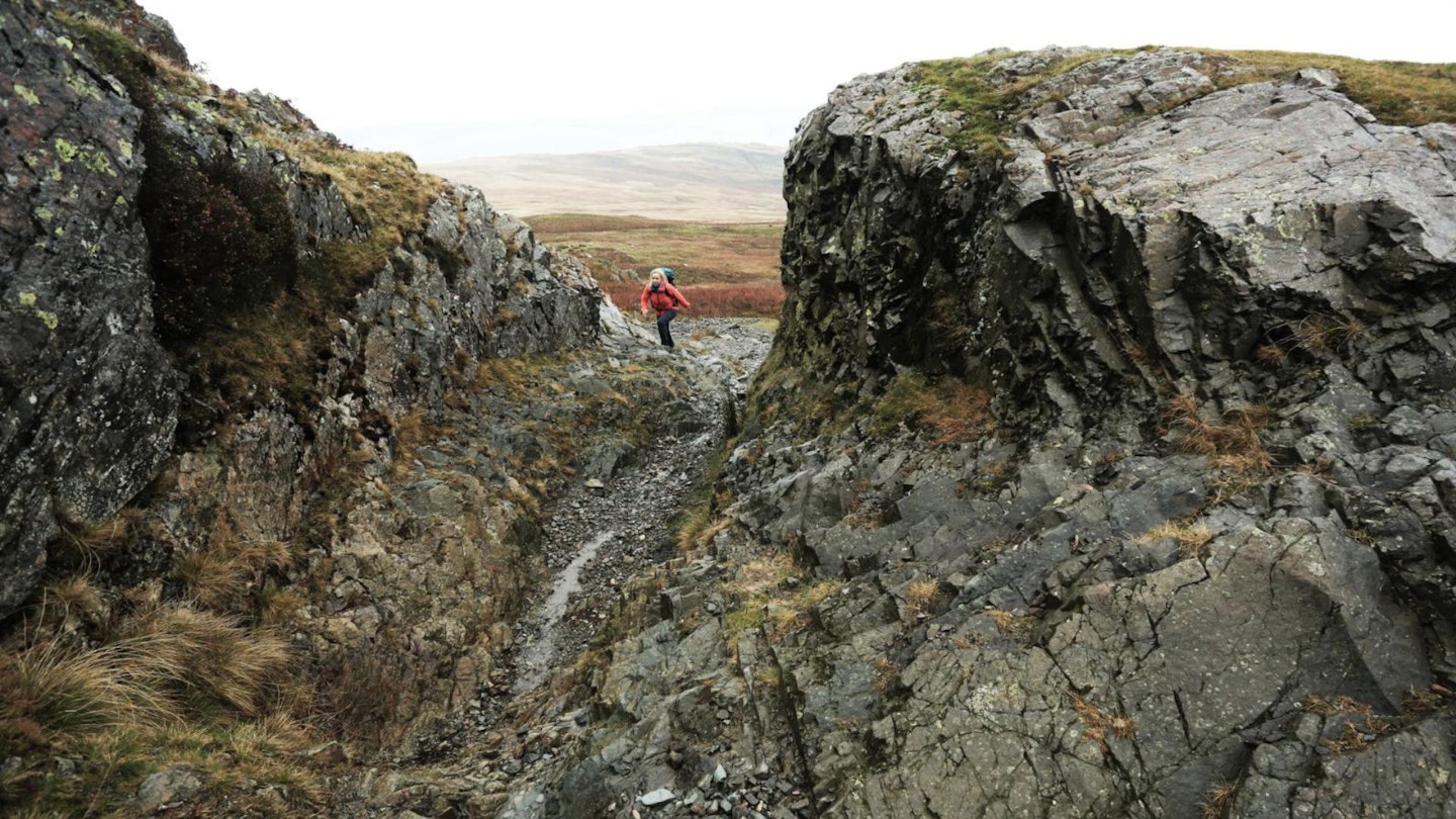
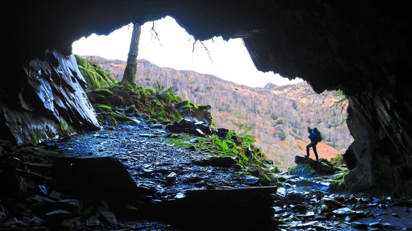
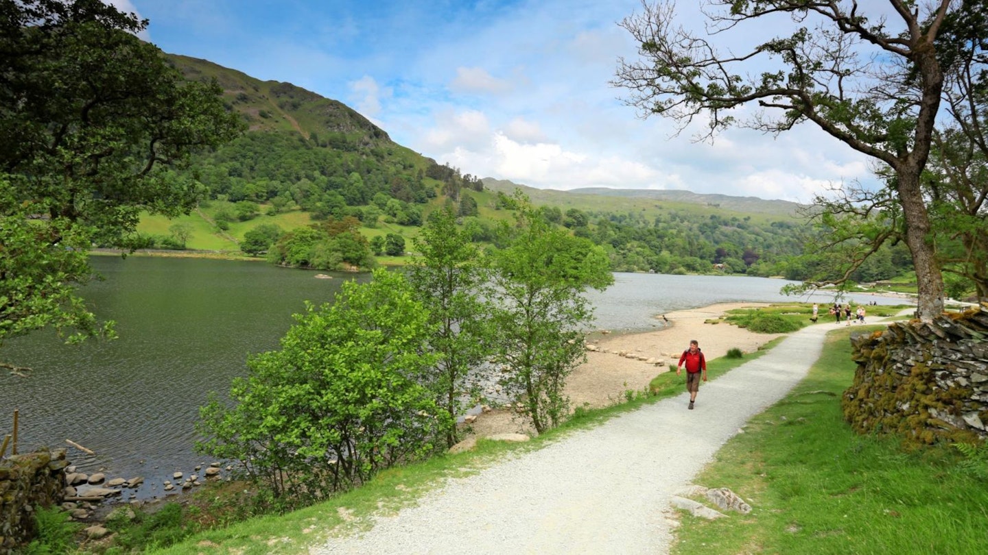
%20Buttermere.jpg?auto=format&w=1440&q=80)
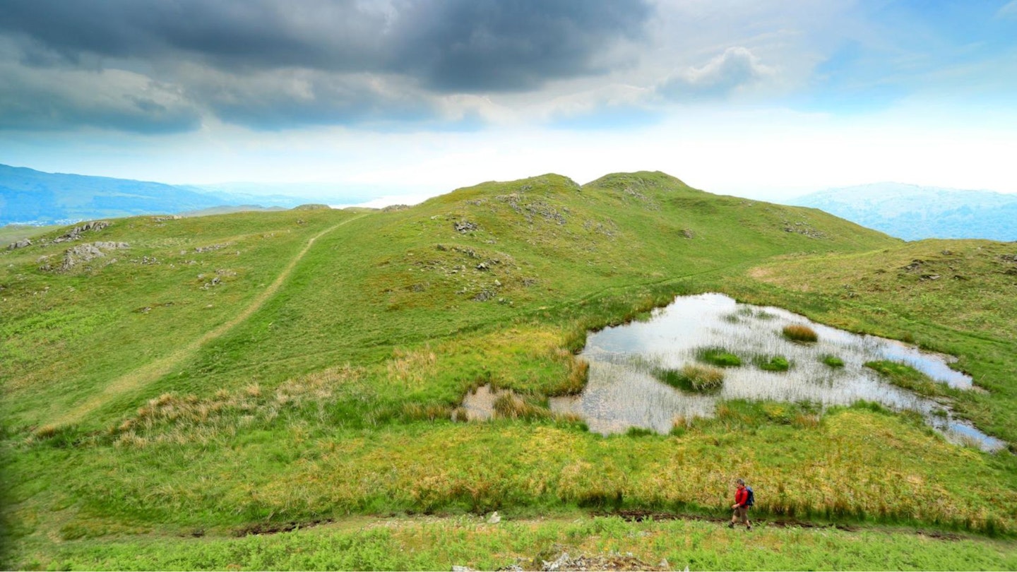
Like all good ideas the Lakeland Haute Route was conceived in a pub. Based on the concept of Alpine haute routes, which take in high mountain passes which get you close to the major peaks, our Haute Route is designed to do exactly the same thing. Taking advantage of Youth Hostels rather than mountain huts, offering ascents of big-name Lakeland peaks for those who want to tailor their route, and making sure every night brings you back down to earth close to great food and public transport links.
The Haute Route is a celebration of the Lakes: a way to see the National Park at its very best, focusing less on the summits, and more on the journey, linking the best high passes with a great sense of exploration. This article explains how to walk it for yourself.
CLICK HERE for a digital OS map of the entire 6-day Lakeland Haute Route.
DAY 1: Ambleside to Coniston
Start: Ambleside (grid ref NY374043) | Finish: Coniston (grid ref SD302975) | Distance: 16km (10 miles) | Total ascent: 575m | Terrain: parkland, access tracks, low fells, minor roads, lanes, rough bridleways , cycle tracks
The first day between Ambleside and Coniston is a perfect warm-up. It climbs straight out of the village onto the shoulder of Loughrigg Fell to give all-round views that set the scene for the rest of the day. Once Loughrigg Fell is behind you the route sets into a friendly routine of old lanes and tracks interspersed with villages and hamlets. Along the way there is a great selection of tea rooms and pubs so this is a great opportunity to stop, relax and fine-tune your gear.
Step-by-step route guide
-
The route leaves Ambleside via Rothay Park then climbs up Miller Brow to gain the col on the east side of Loughrigg Fell.
-
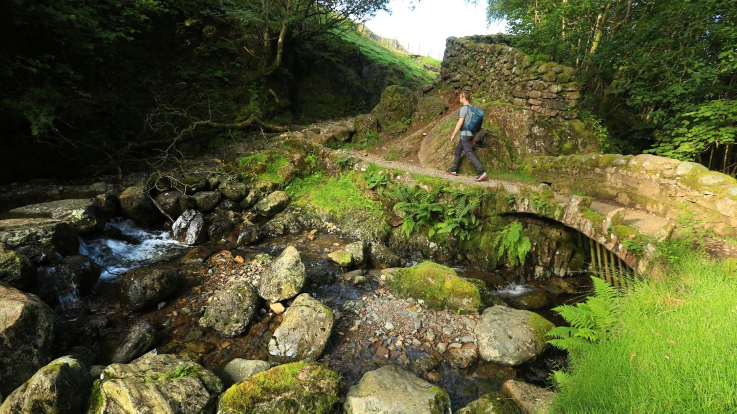
From the col descend the bridleway to join the minor road at Tarn Foot. Turn right on to it, then turn left at the T-junction and follow the lane down to Skelwith Bridge. Across the junction with the A593 and the B5343 head along the access drive to Chesters Tea Room. By the tea rooms and between slate cutting sheds is the start of a path. Join this and follow it along the River Brathay to Elterwater. Along the way don’t forget to take a peek at Skelwith Force and the Woodburn footbridge.
-
Elterwater is an important slate quarrying centre , but most of the quarries are screened by heavy woodland. The Haute Route heads south out of the village then a short distance after the youth hostel it turns south-west and uses some of the old quarry tracks to head over to Little Langdale.
-
Across the Little Langdale road a path leads to the rather fragile-looking Slater Bridge and a track on the other side. Take it and once across the bridge, turn left on the track, which leads to a junction (by a ford and footbridge). The junction is the start of another old quarry track; this is joined and followed south to the road head at High Tilberthwaite.
-
Now follow the road south through the Tilberthwaite valley to the A593 at Yewdale. Low and High Yewdale Farms were part of Beatrix Potter’s estate. They were bequeathed to the National Trust on her death.
-
The busy A593 is avoided by following a pleasant cycle track alongside it to Coniston.
Accommodation
Youth Hostels: Ambleside, Langdale, Elterwater, Coniston Holly How, Coniston Coppermines, visit www.yha.org.uk
Camping: Elterwater (Baysbrown) and Coniston.
Hotels and B&Bs: Ambleside, Elterwater, Little Langdale, Tilberthwaite, Yewdale and Coniston. Check prices and availability at Expedia and Booking.com
DAY 2: Coniston to Eskdale
Start Coniston (grid ref SD302975) | Finish Eskdale (grid ref NY175008) | Distance 20.5km (12¾ miles) | Total ascent 950m | Terrain: steep road, fell tracks, high mountain passes, valley roads, boggy woodland track, old packhorse tracks
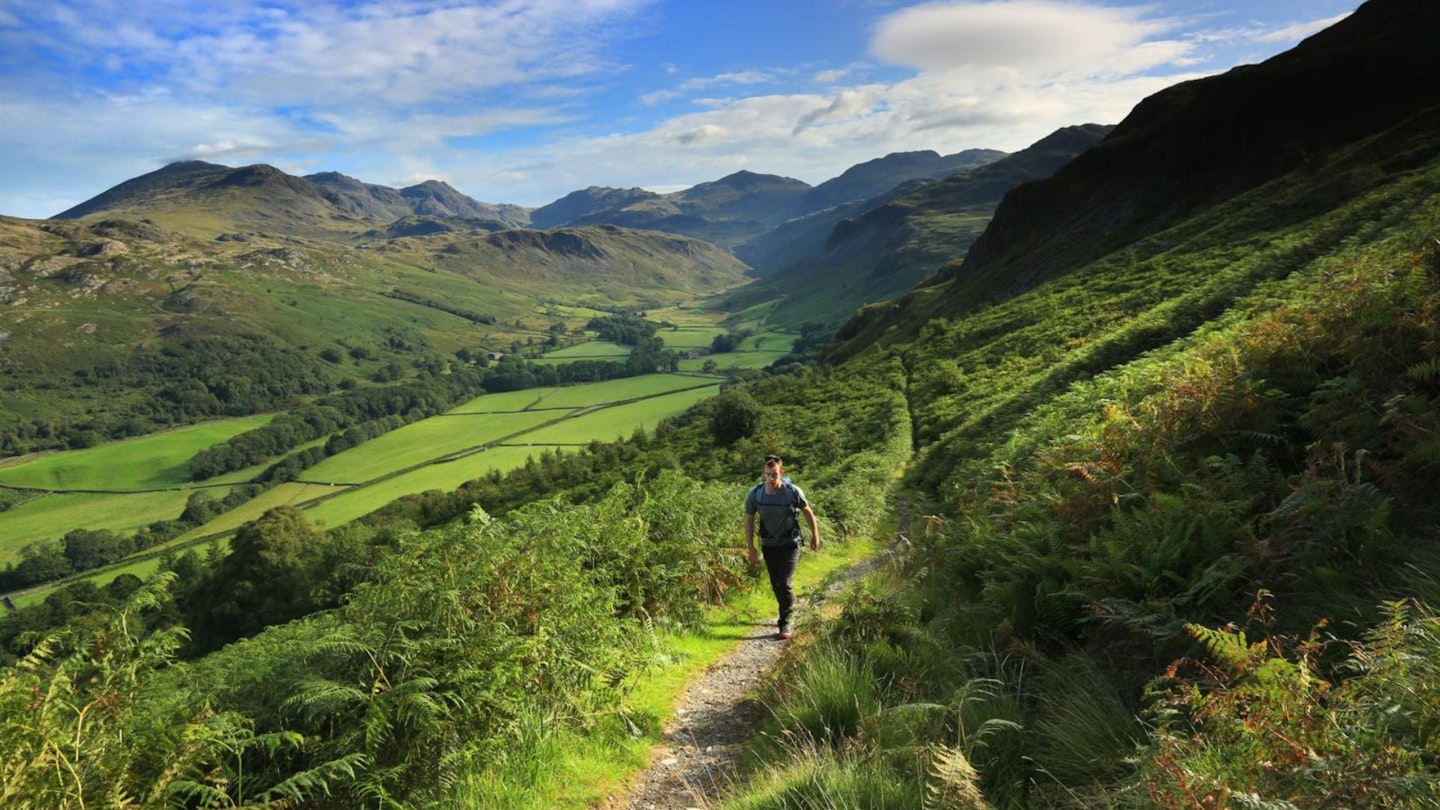
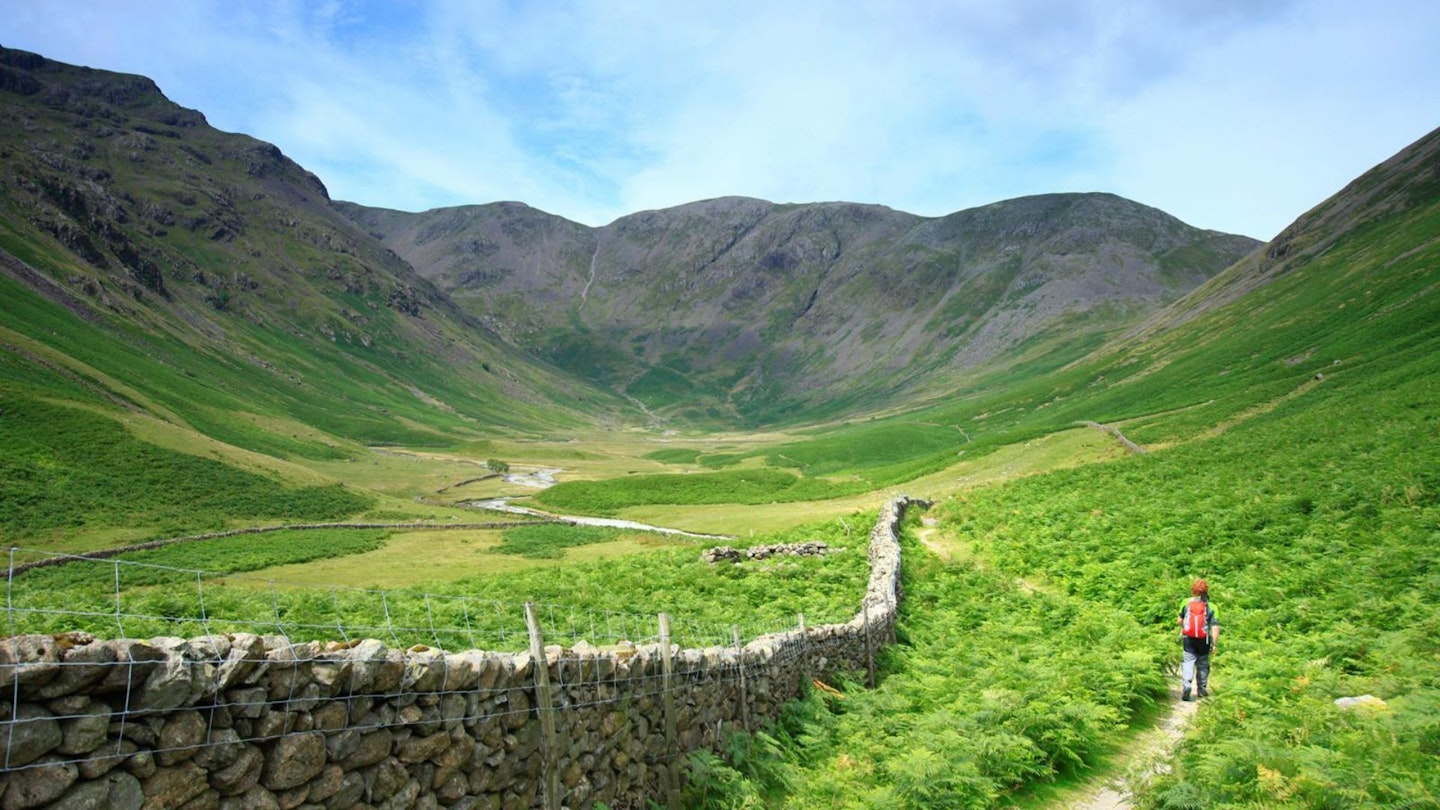
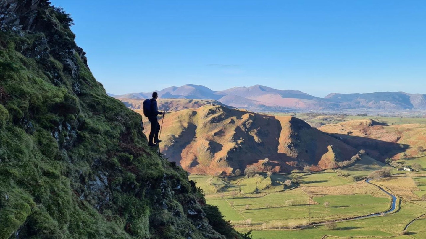
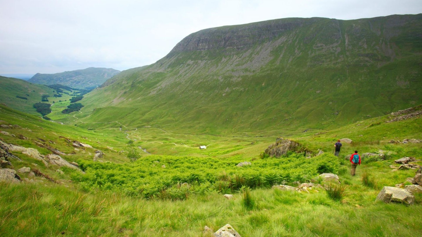
Day two kicks off with a sweat-inducing ascent straight out of Coniston and then settles into a steady climb over the Walna Scar Pass to the Duddon Valley. Passing from one valley to the next is one of the main delights of the whole Trail Lakeland Haute Route, and each one takes on the same sort of significance as reaching a summit.
At each one, you can almost feel the individual spirit of the new valley you are entering. This is no more apparent than when passing from Coniston to the Duddon Valley. At almost your first step over the top of the pass, you leave behind the bustle of the Coniston side and descend into the tranquillity of the Duddon Valley.
The move to the next pass, Grassguards, is different again, being less marked by human activity and more by the sheer drama of the landscape. The first thing that confronts you as you cross it is the Scafell massif in all its grandeur.
-
Up at the top end of Coniston is the Sun Hotel (famous as the first home of the Fell and Rock Climbing Club, and for lodging Donald Campbell during his record-breaking speed attempts on Coniston Water). Head past it and climb the steep tarmac of the Walna Scar Road.
-
At the fell gate, the Walna Scar Road turns from tarmac to a track. Continue along it, heading west as it climbs first past the junction for Bursting Stone Quarry, then over Cove Bridge, and finally up to the Walna Scar. The top is a few metres over the 600m mark but misses the magic 2,000ft mark by bang on 10ft. The Walna Scar Road was in regular use for horse-drawn and packhorse traffic until the arrival of the internal combustion engine.
-
The descent of the Walna Scar Road into the Duddon Valley is smooth to start with, then roughens up as height is lost. At the bottom, you join a lane at a fell gate above Long House. This lane is then followed down to the main valley road.
-
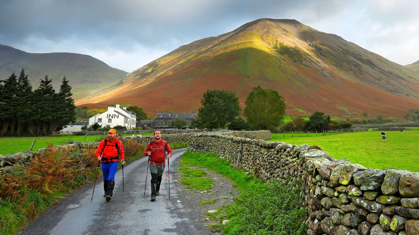
Head south down the valley road for 800m to a path on the right. Just a little bit further on is the Newfield Inn if you fancy a pub lunch. This quiet, unassuming inn has a rather dark past. During the construction of the Seathwaite Tarn Dam, which was completed in 1904, it was the scene of a minor riot and the shooting of a ’navvy’.
-
From the road, a path first crosses Tarn Beck by a footbridge, then crosses the River Duddon by an impressive stone-arched footbridge and leads to High Wallowbarrow Farm.
-
A steep bridleway climbs past the impressive buttresses of Wallowbarrow Crag to gain a delightful high-level terrace track that leads to Grassguards Farm.
-
Things change dramatically past Grassguards Farm as a bridleway heads north-west over Ulpha Fell in the shadow of Harter Fell. This route is an old packhorse route but its course has in the past been overplanted by forestry, and as a result, it is narrow and boggy in places.
-
The summit of the Grassguards bridleway is a real eye-opener, with the whole horizon filled by the towering peaks of the Scafell massif.
Accommodation
Youth Hostels: Coniston Holly How; Coniston Coppermines; Eskdale; visit www.yha.org.uk
Camping: Coniston, Dunnerdale and Eskdale
Hotels and B&Bs: Coniston, Dunnerdale and Eskdale. Check prices and availability at Expedia and Booking.com
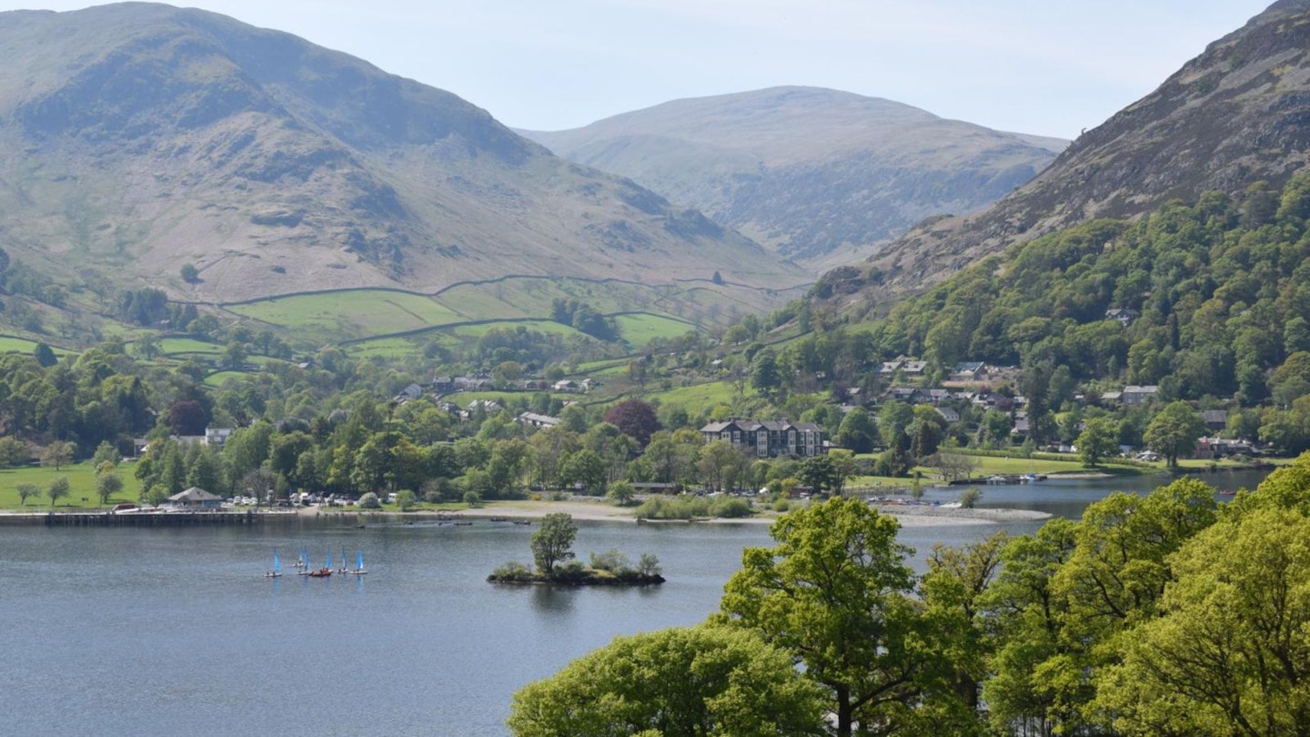
DAY 3: Eskdale to Buttermere
Start Eskdale (grid ref NY175008) | Finish Buttermere (grid ref NY174169) | Distance 20.5km (12¾ miles) | Total ascent 1055m | Terrain: lanes, fell tracks, exposed moorland, valley roads, high mountain passes, remote valley, steep bridleway, lakeside woodland
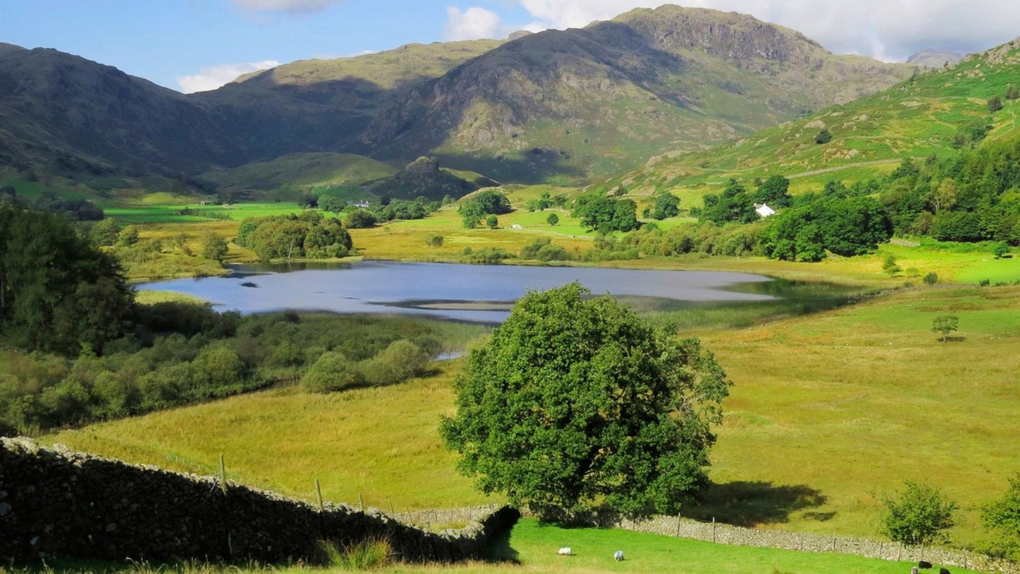
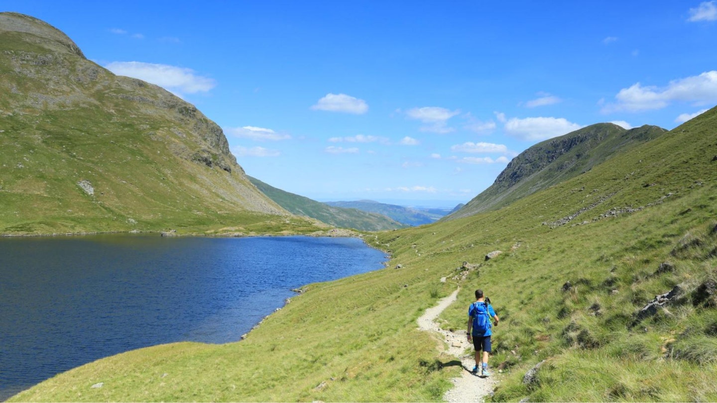
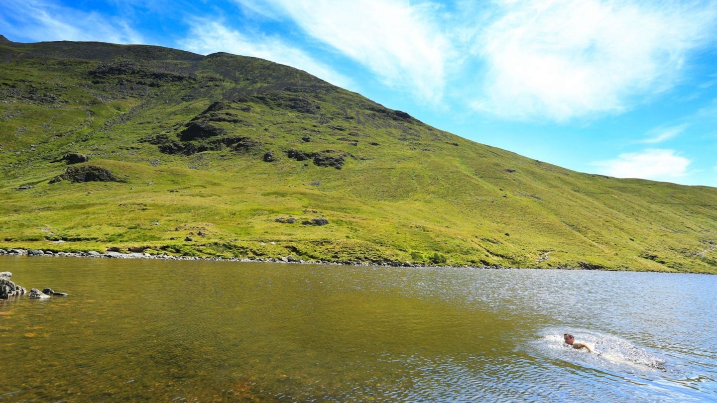
Another day of contrasts from the intimacy of Eskdale with its rich mixture of crags, woods, and fields to a roller coaster walk over three high passes. The first pass over Burnmoor Tarn takes you across the broad western shoulder of Sca Fell (England's second highest peak) and down into the rugged mountain-ringed Wasdale Head.
From here the ancient packhorse route over Black Sail Pass takes you into Ennerdale, the remotest valley in the Lake District. To finish, the rocky jaws of Scarth Gap spit you out into the sublime beauty of Buttermere with its three shining lakes.
-
From the old mill buildings at the top end of Boot, a steep section of bridleway carries you past the ruins of peat storage huts to the broad open col occupied by Burnmoor Tarn. The lodge on the southwest corner of the tarn is privately owned and was once the shooting lodge of Lord Leconfield who owned the Eskdale estate.
-
Burnmoor Tarn holds a good head of fish including trout, pike, and perch. From its northeastern corner, a path climbs up Hard Rigg to the summit of Scafell. If you are in good time and fancy a bit of a diversion, the summit could be taken in. If you opt to climb Sca Fell, a bit of time can be saved by descending to Wasdale Head via the Green How Path.
-
The bridleway from Burnmoor Tarn descends past the top of Fence Wood, then in front of the FRCC climbing hut at Brackenclose to reach the valley road near the National Trust campsite.
-
The Wasdale Head Inn is ideally situated for a morning coffee or lunch, depending on your timing. It is widely regarded as the birthplace of rock climbing as members of the academic community and the Alpine Club used to spend holidays here. During their stays, as well as walking, they explored the surrounding crags and climbed for pleasure rather than just as a means to reach summits.
-
The old packhorse route over Black Sail Pass takes the line of least resistance over to Ennerdale. In its heyday, it saw trains of horses up to 40 strong carrying all sorts of goods between Borrowdale, Buttermere, and the coastal plain and the port at Ravenglass. It is also famous for the exploits of Lanty Slee and his contemporaries who used to smuggle illicit alcohol and graphite (wadd), which at the time had a higher value than gold!
-
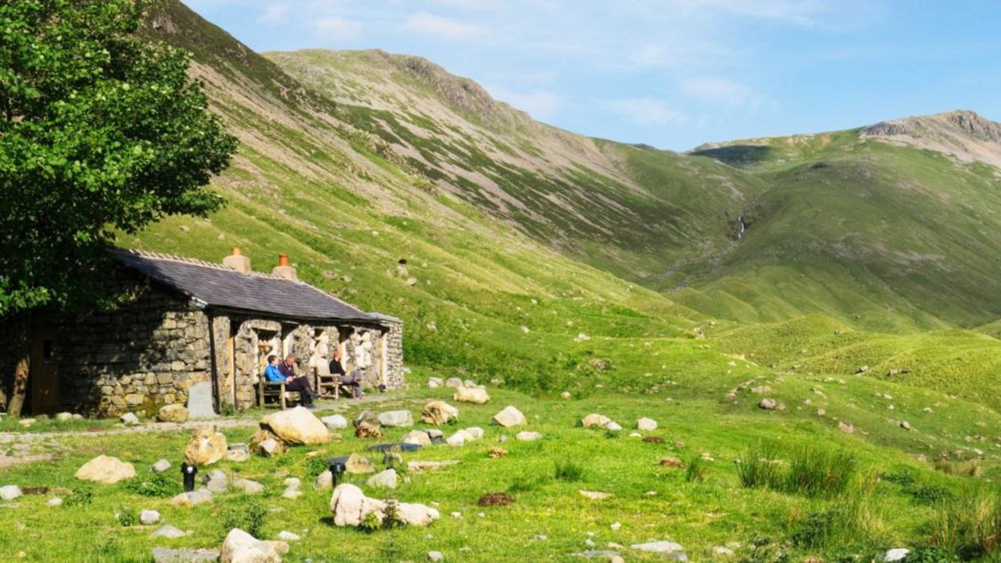
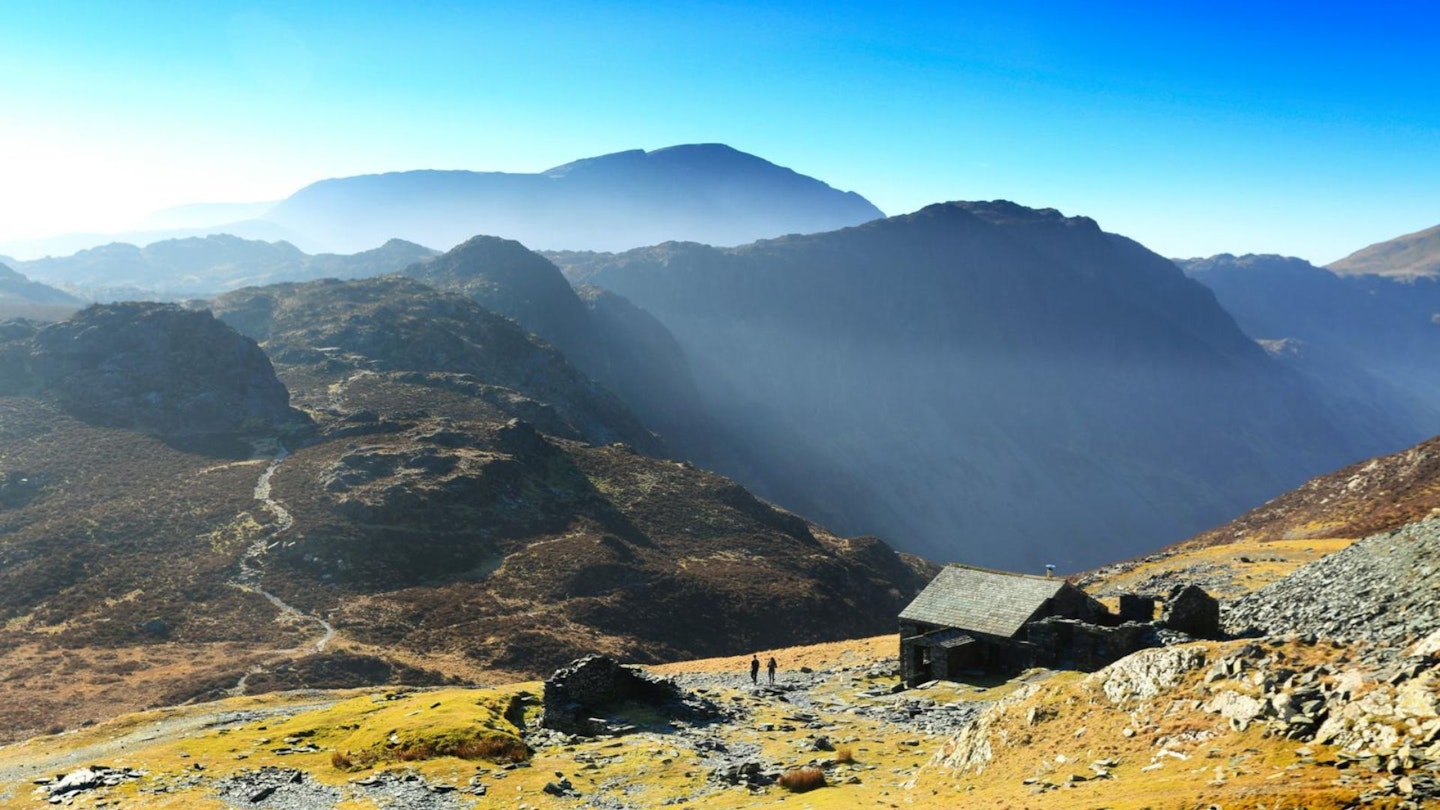
Ennerdale is in the process of being allowed to return to a wilder state. The ranks of conifers are being slowly harvested, and planting of more natural mixed woodland is being encouraged by both self-seeding, some planting, and the removal of sheep to be replaced by less damaging cattle. Black Sail Hut makes an ideal alternative overnight stop to Buttermere if you fancy experiencing the peace and quiet of this remote valley head.
-
A short, sharp ascent from Black Sail Hut leads to the top of Scarth Gap Pass. If you have overnighted at Black Sail Hut, an alternative to dropping down into Buttermere is to cross the summit of Haystacks and follow the high-level path over the col at Dubs to reach the top of Honister Pass.
-
The descent down the Buttermere side of Scarth Gap is rough in parts but follows a well-graded course, so it shouldn’t play too much havoc on tired knees.
-
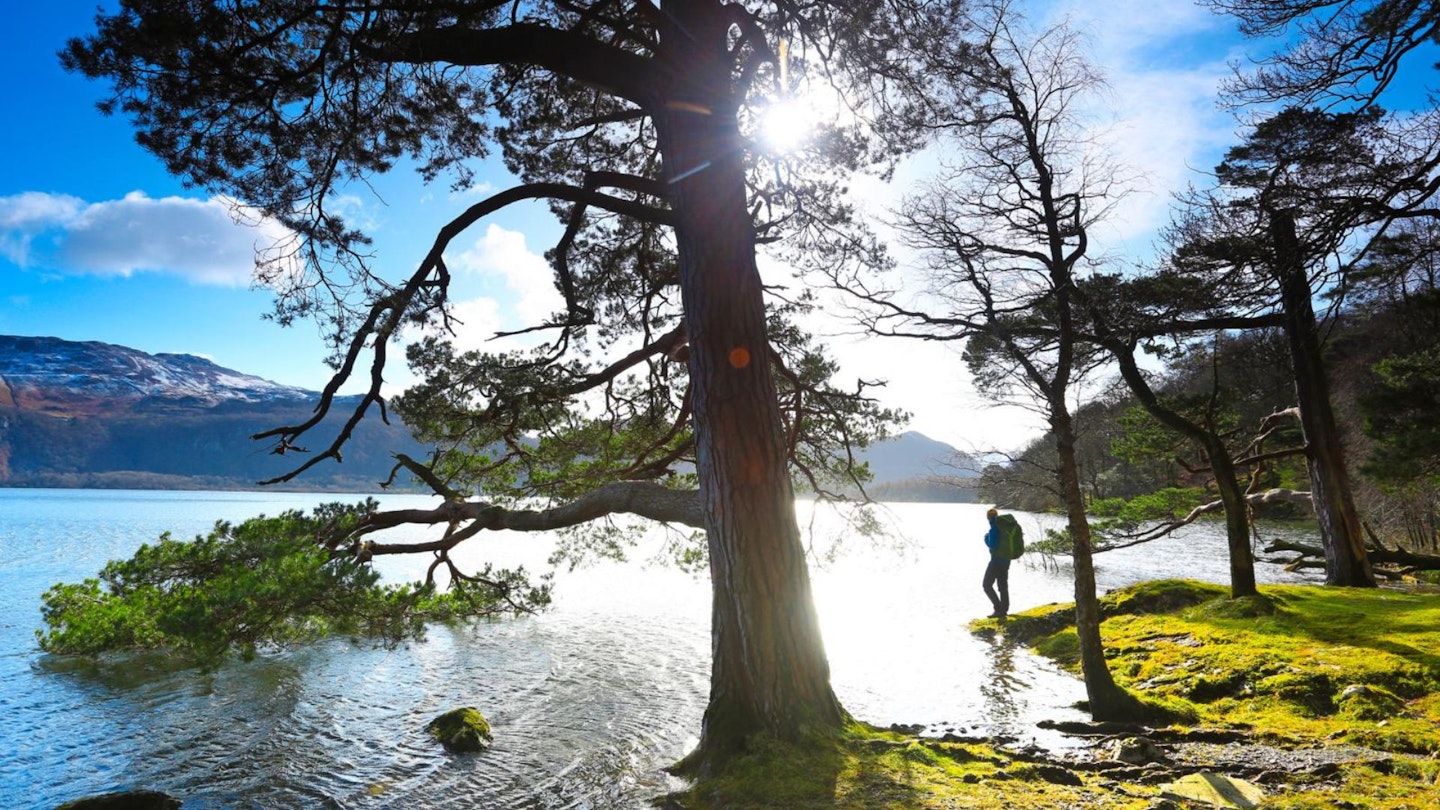
The path through Burtness Wood and along the shores of Buttermere is the perfect end to the day. The going is easy, and regardless of the weather, it is a delightful path with ever-changing views of the lake through the sturdy stands of trees.
Accommodation
Youth Hostels: Eskdale; Black Sail Hut, Ennerdale; Buttermere, visit www.yha.org.uk
Camping: Eskdale, Wasdale, Buttermere
Hotels and B&Bs: Eskdale, Wasdale, Buttermere. Check prices and availability at Expedia and Booking.com
DAY 4: Buttermere to Keswick

Start Buttermere (grid ref NY174169) | Finish Keswick NY265234 | Distance 22.6km (14 miles) | Total ascent 770m | Terrain: valley roads, packhorse track, high open col, quarry workings, old tramway, high pass, stony bridleway, village lanes, lakeside woodland, wooded gardens and riverside pasture
The transit from Buttermere to Keswick is marked by a short, steep climb over the high plateau-like col of Dubs and the road pass of Honister Hause, and then a long, slow descent down Borrowdale and alongside Derwent Water.
The climb up to Dubs is a rocky and moody affair along an ancient packhorse track that skirts the fellside in a precarious manner. After this, the route weaves its way down the quiet side of Borrowdale and sneaks into the lovely little hamlet of Grange alongside the wooded banks of the River Derwent.
The final leg follows the easy course of the Cumbria Way alongside Derwent Water with the busy activity of boats accompanying you all the way into Keswick.
-
Leaving Buttermere, the Trail Lakeland Haute Route follows the path around the northern shores of Buttermere lake. Along the way, it passes through a weird lakeside tunnel constructed so that the original owners of the big house at Hassness did not have their view of the lake disturbed by walkers!
-
From Gatesgarth, the Warnscale Bottom bridleway is followed as it traverses in an ever-steepening course across the southwestern slopes of Fleetwith Pike. Some of the original built-up sections of this packhorse route are still visible.
-
The expansive col of Dubs has seen much quarrying activity over the years. The first obvious feature along the bridleway is the old hut, now a bothy, closely followed by a long, straight cutting that climbs east across the col. This is the bed of an old cable-hoisted tramway, which is followed over to Honister Hause.
-
Partway down the Borrowdale side of the Honister Pass, a bridleway breaks off left. This is followed down the western side of Borrowdale towards Grange.
-
The bridleway passes between the main fell side and the steep natural ramparts of Castle Crag. On the eastern side of Castle Crag is a slate cave which from the Twenties until just after World War Two was the summer residence of the Borrowdale hermit Millican Dalton.
-
From Grange, the Cumbria Way is followed through Manesty Park and alongside Derwent Water all the way into Keswick.
-
Beatrix Potter took her summer holidays at Lingholm for a number of years. The vegetable gardens were the inspiration for The Tale of Peter Rabbit.
Accommodation
Youth hostels: Buttermere; Honister Hause; Borrowdale; Keswick, visit www.yha.org.uk
Camping: Buttermere, Seatoller, Grange, Keswick
Hotels and B&Bs: Buttermere, Seatoller, Rosthwaite, Grange, Portinscale, Keswick. Check prices and availability at Expedia and Booking.com
DAY 5: Keswick to Glenridding
Start: Keswick (grid ref NY265234) | Finish: Glenridding NY386169 | Distance: 19km (11¾ miles) | Total ascent 900m | Terrain: roads, lanes, pasture, valley bridleway, steep packhorse track, high open col, high remote corrie, steep side gill, mine workings, rocky valley, village lanes
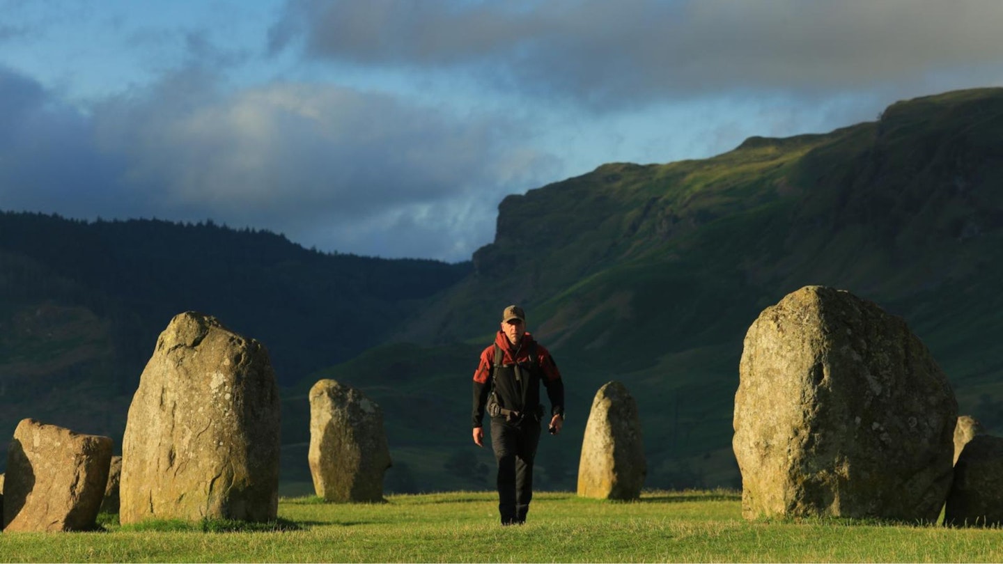
The first part of day five weaves a devious course across the open farmland east of Keswick and then dives off down the subsidiary valley of St John’s in the Vale. This ducking and diving provides an interesting start with a visit to the megalithic stone circle at Castle Rigg, then a pleasant amble underneath steep valley walls.
After this, the route turns east and climbs the northern end of the Helvellyn range by the old packhorse route of Sticks Pass. The eastern side of the pass descends a high hanging valley then drops down to Glenridding through the fascinating old mine workings at Greenside.
-
The A5271 is followed out of Keswick alongside the River Derwent to join the A591 at Brigham.
-
The A591 is then joined and followed east (left) across the junction towards the A66. After 100m, turn right and follow the minor road for Castle Rigg Stone Circle.
-
After viewing the stone circle, head south-southwest along Castle Lane to join the A591. Follow this southeast (left) up Nest Brow for 250m to a path on the left. This is followed east through farmland to join a minor road. Follow this east for 500m to a bridleway on the right just after the church.
-
Follow the bridleway all the way down St John’s in the Vale to join the B5322 after crossing Sosgil Bridge. Follow the B5322 past Legburthwaite and then take the short lane to Stanah.
-
This is the start of Sticks Pass. It climbs to a fair height as it breaches the main backbone of the Helvellyn range. It was not much liked by Wainwright as he regarded it as being “tedious and drab.” His one crossing of it must have been on a dull day, though, as in clear conditions it is far from dull and affords magnificent views, particularly of Skiddaw. It gets its name from the sticks that were used to mark its route.
-
The mines at Greenside, which were worked – with a few interruptions – from 1690 until 1961, have had an amazing history. During their life, they have produced over 350,000 tons of lead and 35,000kg of silver. They have suffered catastrophic floods due to a dam collapse, experienced collapses of up to 110,000 tons of rock, been set on fire, been worked by POWs, and even been the site of experiments by the Atomic Weapons Research Establishment.
Accommodation
Youth hostels: Keswick, Helvellyn, visit www.yha.org.uk
Camping: Keswick, Dale Bottom, Legburthwaite, Glenridding, Patterdale.
Hotels and B&Bs: Keswick, Legburthwaite, Thirlspot, Glenridding, Patterdale. Check prices and availability at Expedia and Booking.com
DAY 6: Glenridding to Ambleside
Start: Glenridding (grid ref NY386169) | Finish: Ambleside (grid ref NY374043) | Distance: 18.6km (11½ miles) | Total ascent: 750m | Terrain: lanes, low wooded fells, long steep-sided valley, high-level tarn, open corrie, high mountain pass, steep corrie and ghyll, main road, minor roads, wooded hamlet, valley side track, parkland
The deep glacial trench of Grisedale cuts right into the heart of the Helvellyn range and provides a natural route from the Eastern Fells over to the Central Fells. The Trail Lakeland Haute Route exploits this high thoroughfare to regain the start at Ambleside via Grasmere and Rydal.
A neat little footpath over the viewpoint of Lanty’s Tarn gives direct access to the mouth of Grisedale, from where a steady climb heads between the steep flanks of Striding Edge and the towering rocks of St Sunday Crag. The high point of the route is capped by the dark, brooding waters of Grisedale Tarn.
Things soon lighten up, however, as the path down the sunny southwest-facing Tongue Gill lets you down into the welcoming arms of Grasmere. Easy walking along the A591 and the Coffin Route then lead straight back to Ambleside.
-
Take the lane in front of the shops by the river and follow it to the houses at Westside. From here, a short, steep path leads up to Lanty’s Tarn. From here, you get one of the best views of Ullswater, so it’s worth having your camera at the ready.
-
A short descent leads to the Grisedale bridleway, which is then followed as it climbs southwest along the valley. The bridleway is fairly easy, only steepening up as it approaches Ruthwaite Lodge.
-
Ruthwaite Lodge is an old shooting lodge that has been converted into a private mountain hut.
-
Just off the bridleway below the outlet of Grisedale Tarn is the 'Brothers’ Parting Stone'. This was inscribed by William Wordsworth and his brother John at their last parting. Sadly, John drowned in 1805 and William never saw him again.
-
The zigzags above Grisedale Tarn were developed to carry the first tourists to the summit of Helvellyn by pony.
-
On the south side of Grisedale Tarn, Hause Gap provides the link over to Grasmere. From here, quick diversionary ascents of both Fairfield and Seat Sandal can be made by those with excess energy.
-
From the A591 on the south side of Grasmere (mini-roundabout), a lane leads off left. It passes by Dove Cottage, Wordsworth’s first house in the area, and then climbs on to White Moss Common.
-
The Coffin Route that traverses high above Rydal Water was used to transport bodies for burial at St Oswald’s as it had the only consecrated ground in the area.
-
On his marriage, Wordsworth moved from Dove Cottage to Rydal Mount.
Accommodation
Youth hostels: Grasmere; Ambleside, visit www.yha.org.uk
Camping: Glenridding and Patterdale.
Hotels and B&Bs: Glenridding, Patterdale, Grasmere, Rydal and Ambleside. Check prices and availability at Expedia and Booking.com