Distance 3.5km | Ascent 390m | Scramble rating Grade 1 | Go there when it’s hot enough for your clothes to dry quickly
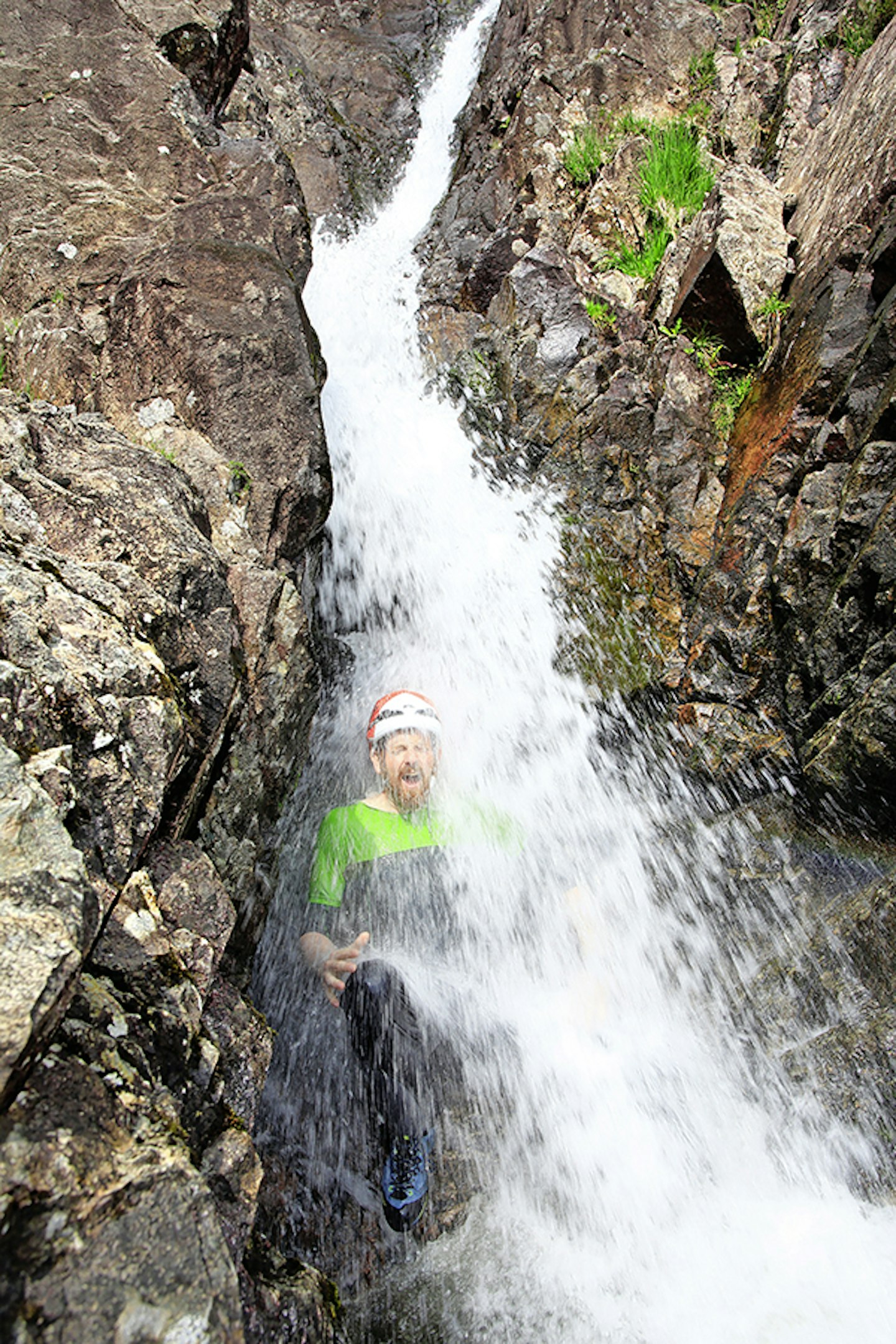
It’s sometimes easy to fall into the trap of thinking that an epic mountain adventure has to be long, hard and gruelling. But what about fun? Well, this route is all about having fun; child-like, gleeful, carefree fun. You’re going to splash, you’re going to clamber, you’re going to get soaked, and you’re going to have a Cheshire-cat grin on your face the whole time. But let’s back up a moment; perhaps ‘carefree’ is a step too far. As with all scrambling, there is the faint shadow of risk lurking in the background.
This scramble up Stickle Ghyll is for the most part a harmless exercise in enjoying life – outdoor activity instructors regularly escort squealing groups of school kids up this exquisite Lake District stream. But there are some steepish rocks to be climbed, often slick with moss and vegetation, and if there’s been a lot of rain, the flow of the river can make it impassable. Common sense can’t be avoided altogether then. For this reason, a helmet is a sensible idea, even though the scrambling difficulties are none too technical.
But that’s enough of this serious talk. As we said, this is all about having fun. So, with caution not abandoned but safely stowed in the back of our minds for now, let’s plunge on into Stickle Ghyll…
1.
From the National Trust car park in Langdale, follow the path past the left side of the Stickle Barn pub, pass through a small enclosed meadow and meet the river. Leave the path, head into the stream bed, and begin the ascent of Stickle Ghyll with some easy rock-hopping.
2.
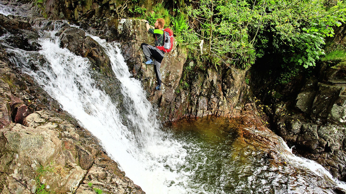
Follow the tree-lined ghyll to the first obstacle. A twin-funnelled waterfall flows over a small rock step which is climbed up a curving face between the two cascades. Above, stick to the right bank for a sometimes tricky (the chunkier tree roots come in handy) traverse over some deep pools and smaller falls.


3.
After more rock-hopping a small hydro-electric installation below a footbridge is reached. Leave the river briefly to pass this before returning to the ghyll for more clambering over some large and awkward boulders.
4.
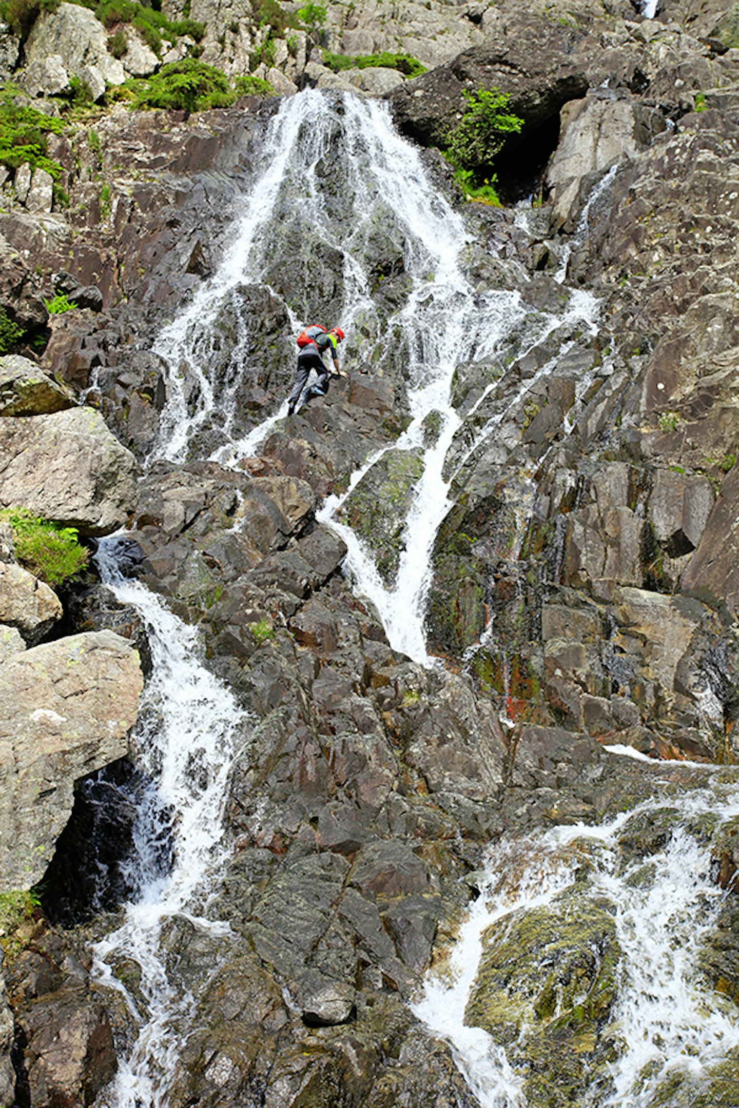
You’ll hear the next obstacle before you see it. A tall, slick looking wall with multiple flows of water pouring over it. The driest rock goes right up the middle. It’s high and potentially slippery. Handholds are reliable, although the friction of footholds should be tested before fully weighting them. Helmets are a must, and novice scramblers may appreciate the security of a rope.
5.
Above, another fall rumbles through a cleft in the surrounding rock. This is only climbable if the water is reasonably low, in which case a careful ascent can be made by following the driest line (if there is one) and bridging between the boulders. If the ghyll is flowing high or you just don’t fancy this challenge, bypass it with some easier and drier scrambling to the left.


6.
After another stretch of boulder-hopping the final and most impressive section of falls come into sight. The easiest line and best rock is to the right, but there are multiple routes through, and the views back down the valley are impressive.
7.
Above the falls the river meets the path on dry land to the right. The options here are to return to the pub or car to dry off, continue up to Stickle Tarn (either on the path or in the ghyll) to enjoy the views (and possibly some swimming), or continue the day’s scrambling with an ascent of Jack’s Rake on Pavey Ark, all with a big smile on your face (and water in your boots).

Follow this route with HALF-PRICE digital Ordnance Survey Maps for the whole of Great Britain by subscribing to Trail magazine.
