Walking a long-distance trail takes a lot of planning, and a lot of maps. Here’s how to make things simple with the Ordnance Survey’s award-winning smartphone app.
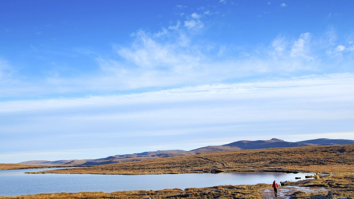
Hopefully the previous 12 pages have warmed you up to the idea of taking on the challenge of a multiday trek trail. And whether you plan to do that this summer or in a few years’ time, in the UK or in some exotic overseas mountain range, one thing you can guarantee is you’ll need to do a lot of planning. When you’re walking for multiple days or even weeks, the small details are everything. How heavy is your pack, how much water do you need for each day, how many spare pairs of undies do you really need, and – perhaps most importantly – how are you going to navigate successfully for mile after mile, day after day?
Britain’s best maps
If you’re walking a recognised trail you’ll probably be carrying a guidebook, but you’re also going to need detailed maps showing every inch of the varied and sometimes technical terrain you’ll be crossing. If you’re walking in Britain, maps don’t come more detailed and trusted than Ordnance Survey. And now you can keep every one of them (the equivalent of 607 paper maps covering the whole of Great Britain) in your pocket with OS Maps.
Great planning tool
OS Maps also lets you create, plot and follow unlimited routes either on your phone or computer, adding in key waypoints along the way to make your walk as feature-packed as possible. Once you’ve plotted your route, you can follow it on your smartphone, even getting mobile alerts if you wander off-course. OS Maps doesn’t just work on your phone either – you get full access across mobile, tablet and PC, with 3D flythroughs that instantly bring every route to life in stunning detail.

Organise your itinerary
Here’s the cool bit for walking a long distance trail. You can either plot the entire route in one go, or break it down clearly into the sections you plan to walk each day, starting and finishing at your overnight stop. That way, you can easily see the distance you’ll be walking each day, the ascent and descent stats, and even estimated times, so you know how strenuous each leg of the journey will be. Then simply save them individually into your OS Maps account so they’re ready to go when you need them.
Top value for money
You can download the app for free from the Apple App Store or Google Play, then if you take out an annual subscription you get access to every OS map in Great Britain. You can also download and save maps and routes for offline use, meaning you don’t need to reply on phone signal to use it. If you’re walking a long-distance trail that covers multiple printed maps, the price of an annual subscription is likely to be cheaper than the cost of those maps!
OS Maps - Adventure in your pocket
-
Get digital maps for the whole of Great Britain at 1:25k and 1:50k scale
-
Use across mobile, tablet and PC
-
See every marked footpath and public right of way
-
Create, plot and follow your own routes
-
Works offline without phone signal
-
Explore the terrain in stunning 3D detail
-
Search over 500,000 ready-made routes
-
Includes hundreds of expert route guides from Trail magazine
-
Print unlimited maps at A3 and A4

Trail subscribers get 50% off OS Maps - All of this adventure for £12 a year!
Visit os.co.uk/osm or download OS Maps on your device's app store.
