Created by Ordnance Survey, OS Maps is the UK’s leading mapping and navigation app, helping almost half a million users explore the great outdoors every month. Sign up today and it’ll give you the freedom and confidence to get outside more often.
It is the official app of Ordnance Survey, Britain’s national mapping service, and the backing of such an iconic institution has enabled OS Maps to become Britain’s most popular outdoor navigation app; with a whopping 5 million downloads in 78 different countries. In fact, it’s the third biggest outdoor navigation app in the world, with users sharing 12.6 million routes totaling 478 million kilometres - that’s as far as a journey to Mars and back!

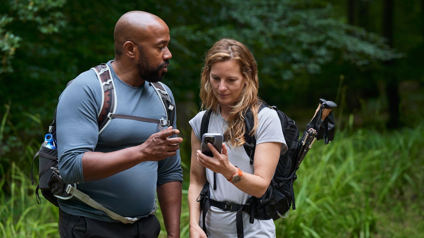
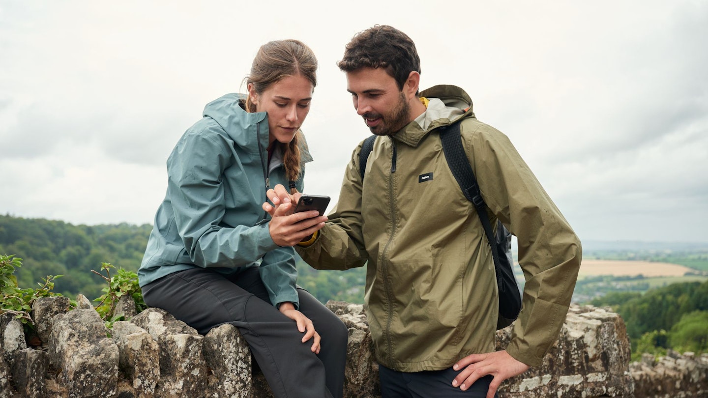
It’s safe to say, therefore, that the OS Maps app has been a runaway success story, but why has it proven so popular? The answer is simple, according to Ordnance Survey. OS Maps brings “world-leading mapping, navigation tools and over a million made routes” to its customers, making it easier for people to get outside and explore the great outdoors, whether they’re passionate about hiking, running or cycling.
The app has a variety of features to help users create, plan, find and record routes, to explore 1:25k and 1:50k maps, and ultimately to stay safe in the countryside. But the end goal is something more emotive and empowering. As Ordnance Survey puts it: “We aim to inspire anyone to experience the outdoors and help give them more confidence to get outside… and more freedom to explore.”

This is how it all works. The app, which is available on both Apple and Android, is downloaded to a smartphone. A free version has basic mapping and limited functionality, but to get the most out of the app you’ll need to sign up as a member. An annual premium subscription costs £34.99, the equivalent of less than £3/month (cancellable at any time) and opens up a whole host of premium features.
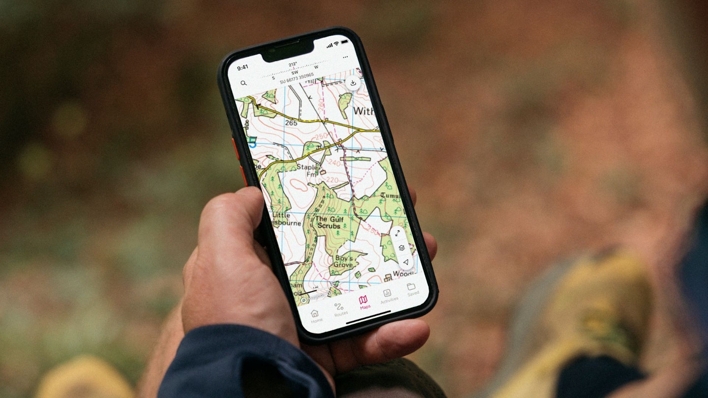
At its most basic level, the app allows you to simply view Ordnance Survey’s topographical mapping for any area of the UK, zooming in and out of 1:25k and 1:50k map tiles to your heart’s content. But there is so much more to the functionality than that. You can also plot your own routes, checking the distance, height and terrain of your proposed walk, or instead discover pre-approved routes created by the likes of Trail and Country Walking magazines and the Good Pub Guide.
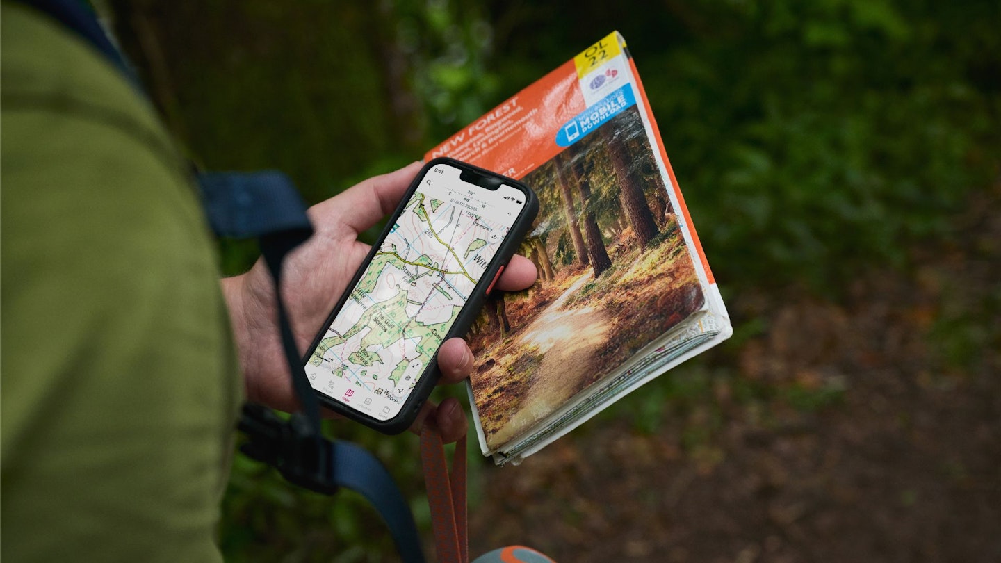
All routes and sections mapping can be downloaded to your phone, so you won’t need mobile phone reception to view them when out in the countryside, and you can follow and track your activities as you go. Using the desktop version of OS Maps, you can even print out back-up paper maps or “fly-through” your route in advance by watching a 3D preview of your adventure.
New for 2024, the app has had a complete makeover with a fresh design, revamped look and improved feel, making it clearer and easier to use than ever before. A new bottom navigation bar makes it simpler to access everything, while all of your saved routes and offline maps are now in one place - the dedicated saved area. The end result is that an already excellent app has got even better, with a modern, slick and user-friendly interface.
What do I get with an OS Maps subscription?
DETAILED ROUTE GUIDES: There are hundreds of thousands of recommended, ready-made routes in OS Maps, including every hillwalking route guide we’ve printed in Trail magazine for the past 10 years.
EVERY MAP YOU'LL EVER NEED: Unlimited use of every OS Explorer (1:25k) and OS Landranger (1:50k) map for the whole of Great Britain. That’s 607 maps you can view online, print or download to your phone. You also get standard street and footpath mapping for the rest of the world.
PLOT YOUR OWN ROUTES: Explore the way you want by creating your own routes with automatic snap to path. Plan routes on the web, then follow along on your phone.
USE ON ANY DEVICE: Seamlessly sync between your desktop, mobile and tablet.
NO SIGNAL? NO PROBLEM: Download maps and routes to your phone so you can use them with confidence wherever you go, even if you’re in the mountains or off the grid with no phone signal.
BRING ROUTES TO LIFE IN 3D: Explore anywhere in Britain on your computer with the OS Maps Aerial 3D layer. Fly-through routes before you walk them to get a good understanding of the terrain.
PRINT MAPS AS BACK-UP: Print out your own custom routes and maps, so even if your tech fails you’re never stuck without a map. You can choose the scale, orientation and size that suits you.
MOUNTAIN RESCUE ENDORSEMENT: OS Maps is the only navigation app officially recommended by Mountain Rescue – and has been made available to all 47 local volunteer teams in England and Wales.
Get half-price OS Maps if you're a Trail magazine subscriber: CLICK HERE