Here you’ll find all the routes featured in the most recent issue of Trail magazine. You can view the routes on the OS Maps website and, if you’re an OS Maps Premium subscriber, overlay them on 1:25,000 Explorer or 1:50,000 Landranger leisure mapping.
Trail magazine subscribers can claim a half-price subscription to OS Maps Premium - click here to find out more!

Route 1: Cadair Idris, Snowdonia
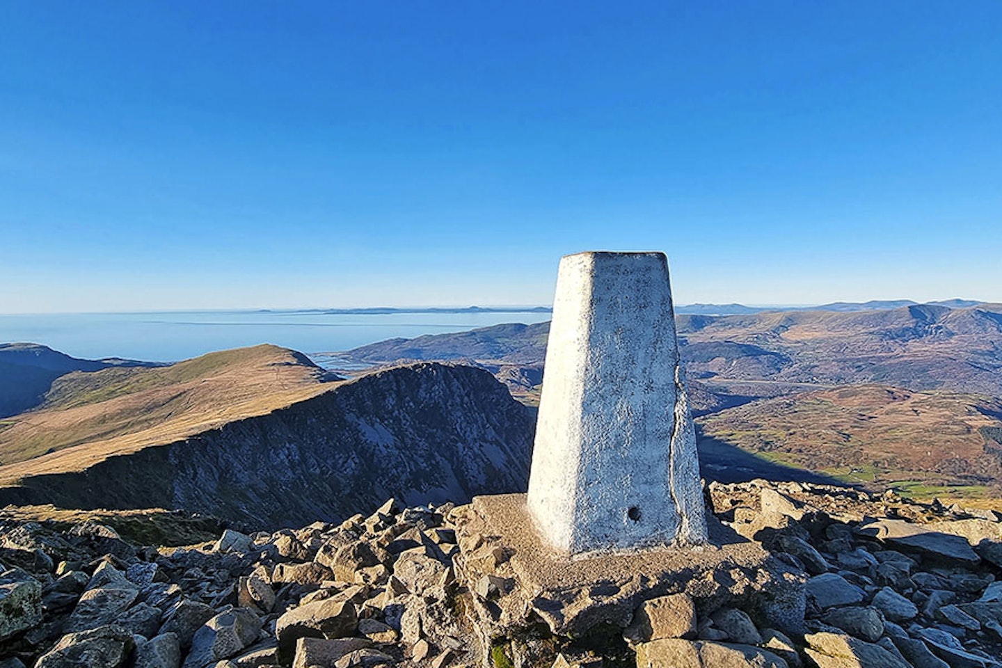
Fancy bagging a classic Snowdonia summit while avoiding the most popular paths? This route promises a memorable day with a serene start and finish.
Click here to view and download the Cadair Idris route from OS Maps

Route 2: Scafell Pike via Lingmell, Lake District
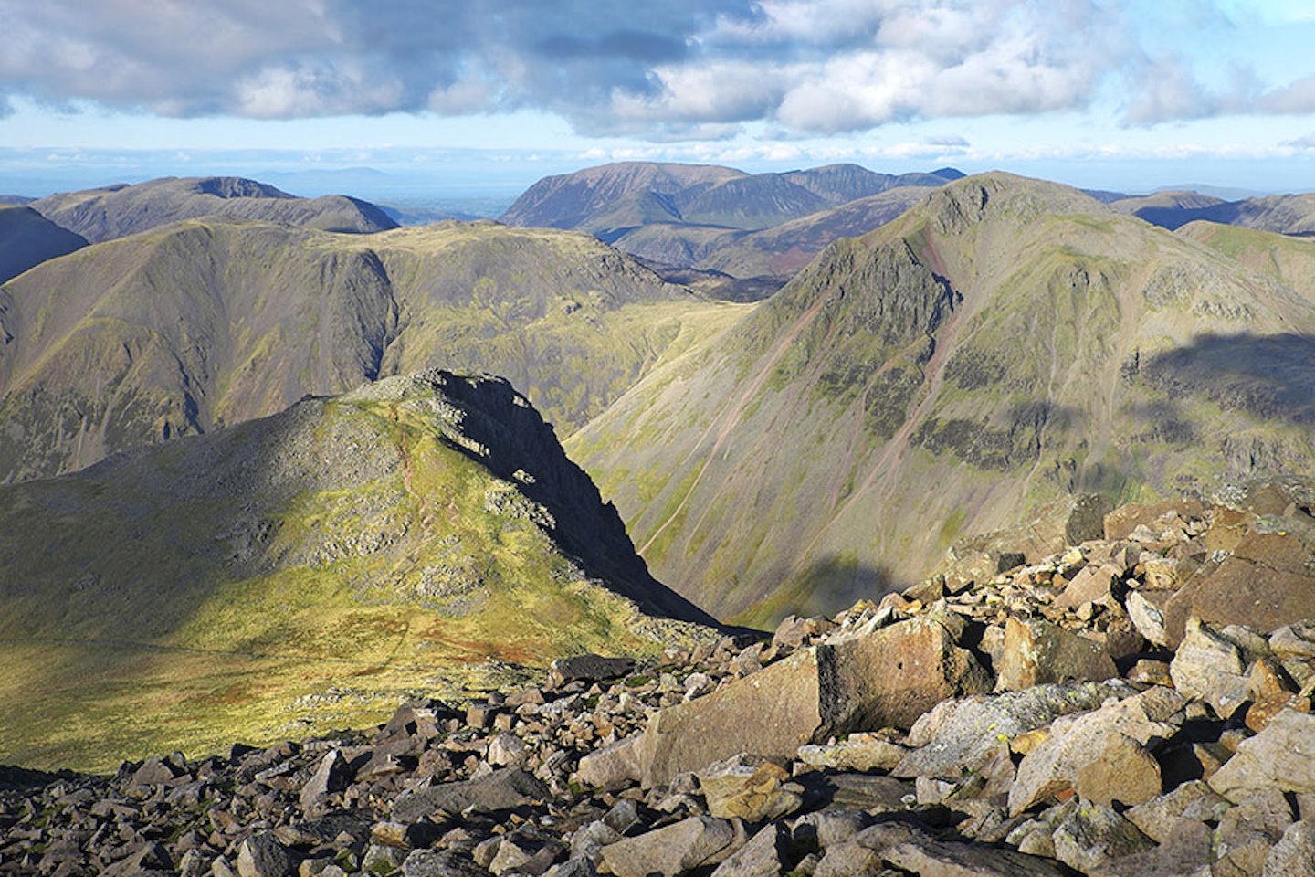
Take a less-trodden route in the Lake District on to England’s highest peak and bag an extra Wainwright along the way.
Click here to view and download the Scafell Pike via Lingmell route from OS Maps

Route 3: Welsh 3000s – 15 peaks, Snowdonia
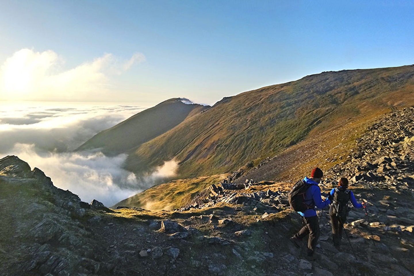
For regular mountain go-ers this day route in northern Snowdonia takes in all the area’s highest summits; in one sweeping and beautiful long day.
Click here to view and download the Welsh 3000s – 15 peaks Part 1 route from OS Maps
Click here to view and download the Welsh 3000s – 15 peaks Part 2 route from OS Maps

Route 4: Carrauntoohil, Ireland
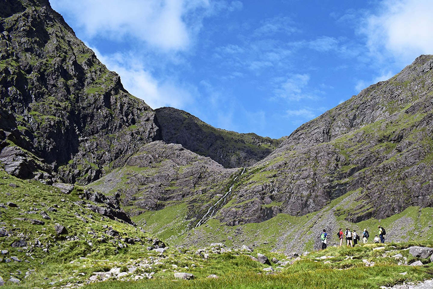
Book the ferry, pack your bags, load the car and hit the road to climb Ireland’s highest mountain.
Click here to view and download the Carrauntoohil route from OS Maps

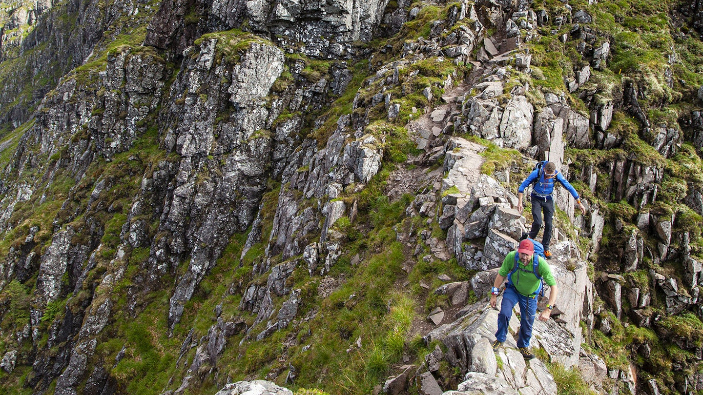
Route 5: Aonach Eagach, Glen Coe
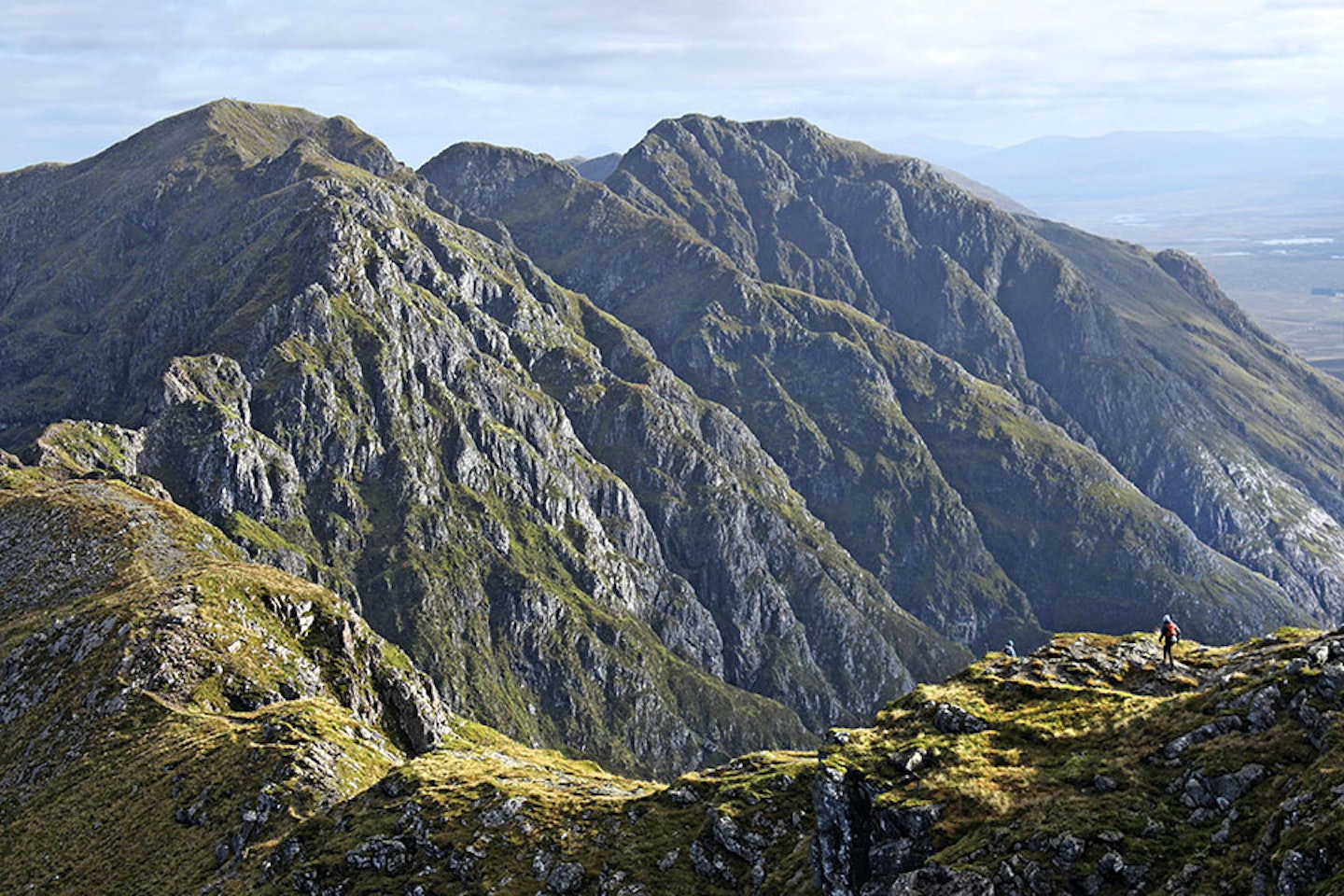
Test both your mettle and your downclimbing skills in Glen Coe on one of Britain’s greatest mountain ridges.
Click here to view and download the Aonach Eagach route from OS Maps

Route 6: Langdale horseshoe, Lake District
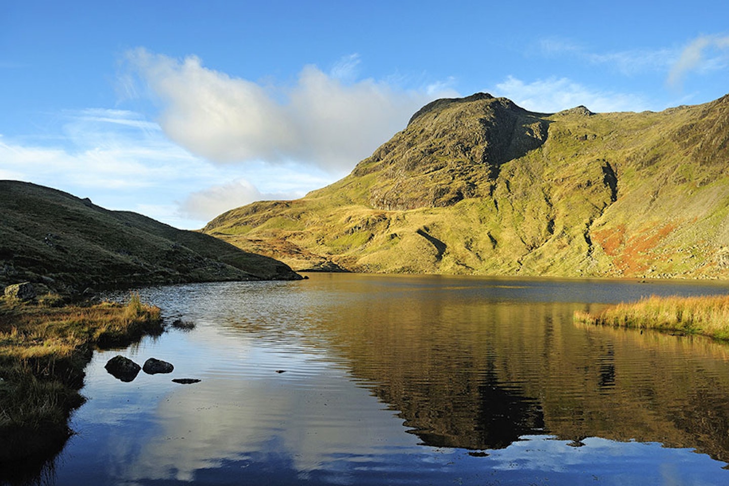
Enough of this hill-bagging – let’s bag a whole valley on a circular route around the Lake District’s Great Langdale.
Click here to view and download the Langdale horseshoe route from OS Maps

Routes 7, 8 & 9: Ultimate Weekend – Paddy Buckley highlights, Snowdonia
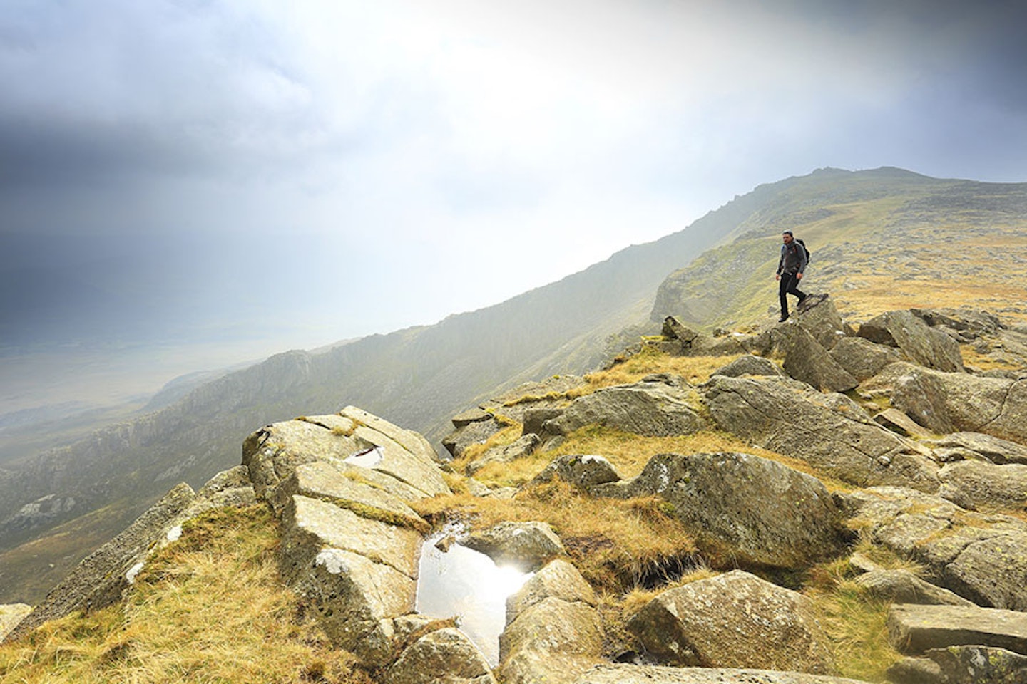
Explore the highlights of this extensive Snowdonia roller coaster route for an adventurous backpacking journey.
Click here to view and download the Moel Siabod & Moelwyn Mawr route from OS Maps
Click here to view and download the Cnicht, Moel Hebog & Snowdon route from OS Maps
Click here to view and download the Glyderau & Carneddau route from OS Maps

Routes 10, 11 & 12: Ultimate Weekend – Cape Wrath backpacking, North-West Highlands
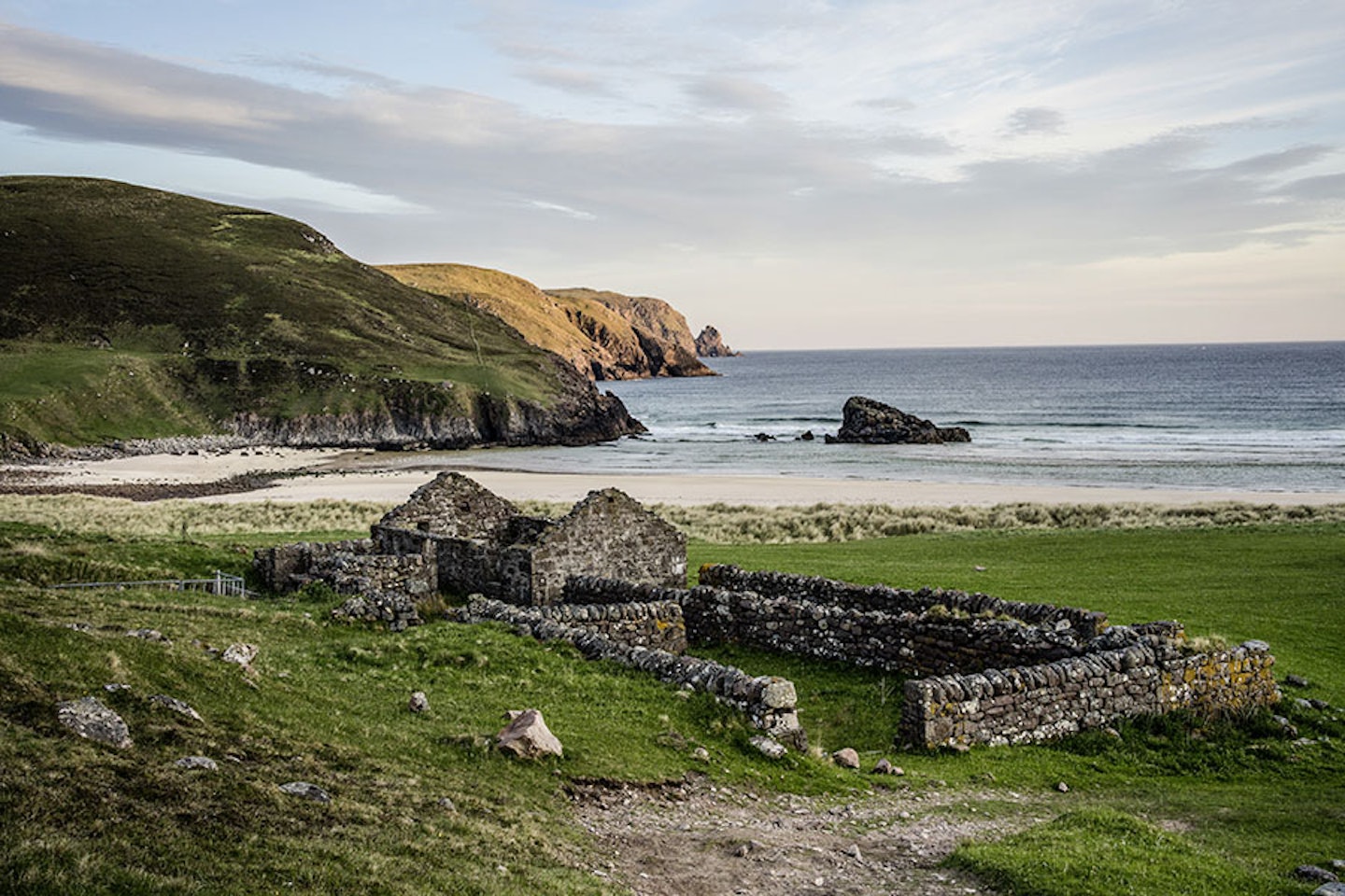
Explore the quiet, green valley at the western edge of Scotland’s Southern Uplands.
Click here to view and download the Blairmore to Strathan route from OS Maps
Click here to view and download the Strathan to Kearvaig route from OS Maps
Click here to view and download the Kearvaig to Blairmore route from OS Maps
